© Wienerwald Tourismus GmbH / Markus Frühmann
- Kratak opis
-
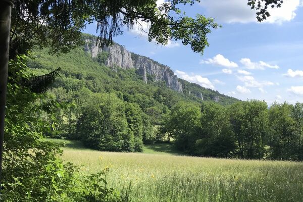
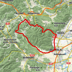
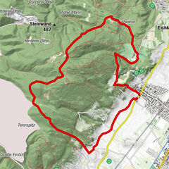
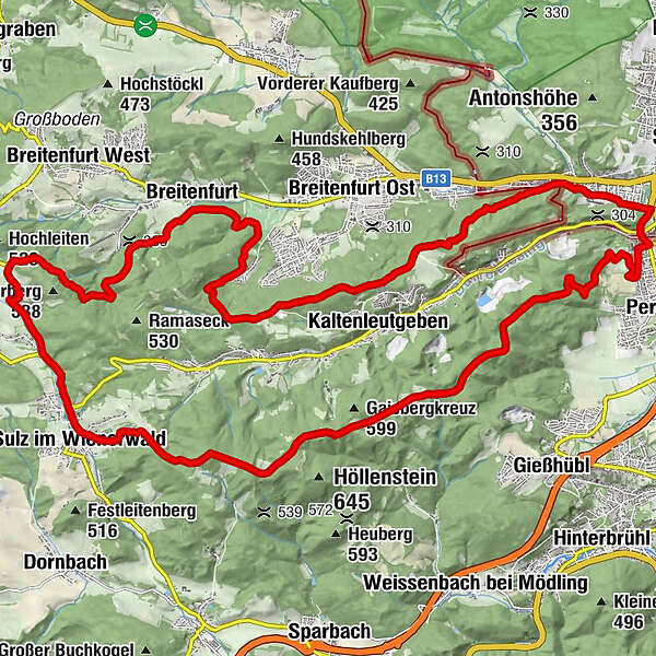
The nature park and Perchtoldsdorfer Heide are the definitive and impressive components of this tour. Extensive panoramic views, the constant alternation between the forest and clearing and the many mountain huts and guest houses along the way add up to a delightful medley of the Vienna Woods’ treats.
- Teškoća
-
lagano
- Vrednovanje
-
- Wegverlauf
-
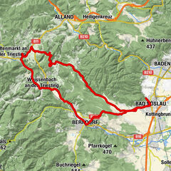
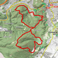
Gasthaus zum Salzstanglwirt auf der Kugelwiese4,6 kmGroßer Sattel (543 m)5,1 kmRastplatz Seewiese6,4 kmHochstraße VI6,8 kmHochstraße VII7,1 kmKreuzsattel (592 m)8,6 kmMaria Namen11,7 kmSulz im Wienerwald11,9 kmStangau12,4 kmWöglerin13,4 kmGeorg's Bründl16,1 kmSteingraben17,1 kmBreitenfurt19,6 kmHelenenquelle23,5 kmLattermaißberg (452 m)24,1 kmWienerquelle26,0 kmWiener Hütte26,4 kmKalksburg30,0 kmJohann Nepomuk Kapelle30,6 kmRodaun30,8 kmBergkirche Rodaun31,0 km
- Beste Jahreszeit
-
sijveljožutrasvilipsrpkolrujlisstupro
- Höchster Punkt
- 610 m
- Zielpunkt
-
Heideparkplatz in Perchtoldsdorf
- Höhenprofil
-


- Autor
-
Die Tour Parapluie-Strecke wird von outdooractive.com bereitgestellt.
GPS Downloads


Opće informacije
Einkehrmöglichkeit
Weitere Touren in den Regionen
-
Wienerwald
291
-
Wien und Umgebung
206
-
Kaltenleutgeben
114