
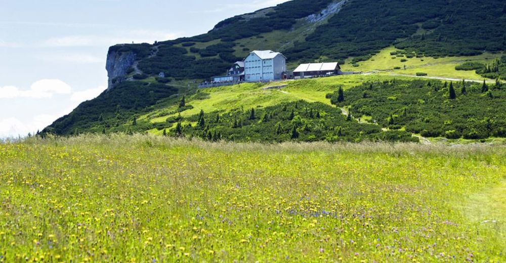
© ©Wiener Alpen, Foto: Janos Kalmar

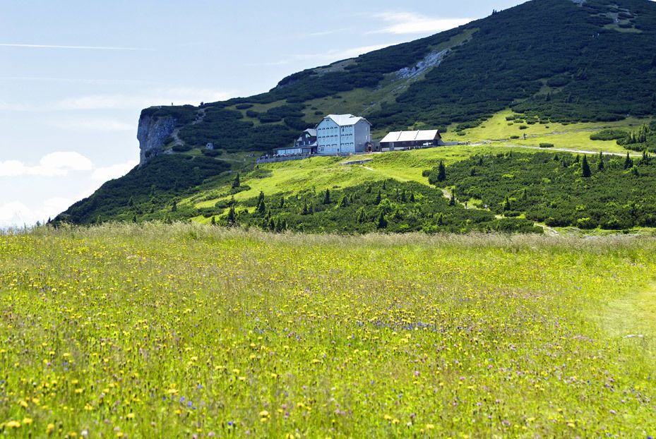
© ©Wiener Alpen, Foto: www.eva-gruber.com - Wiener Alpen in Niederösterreich

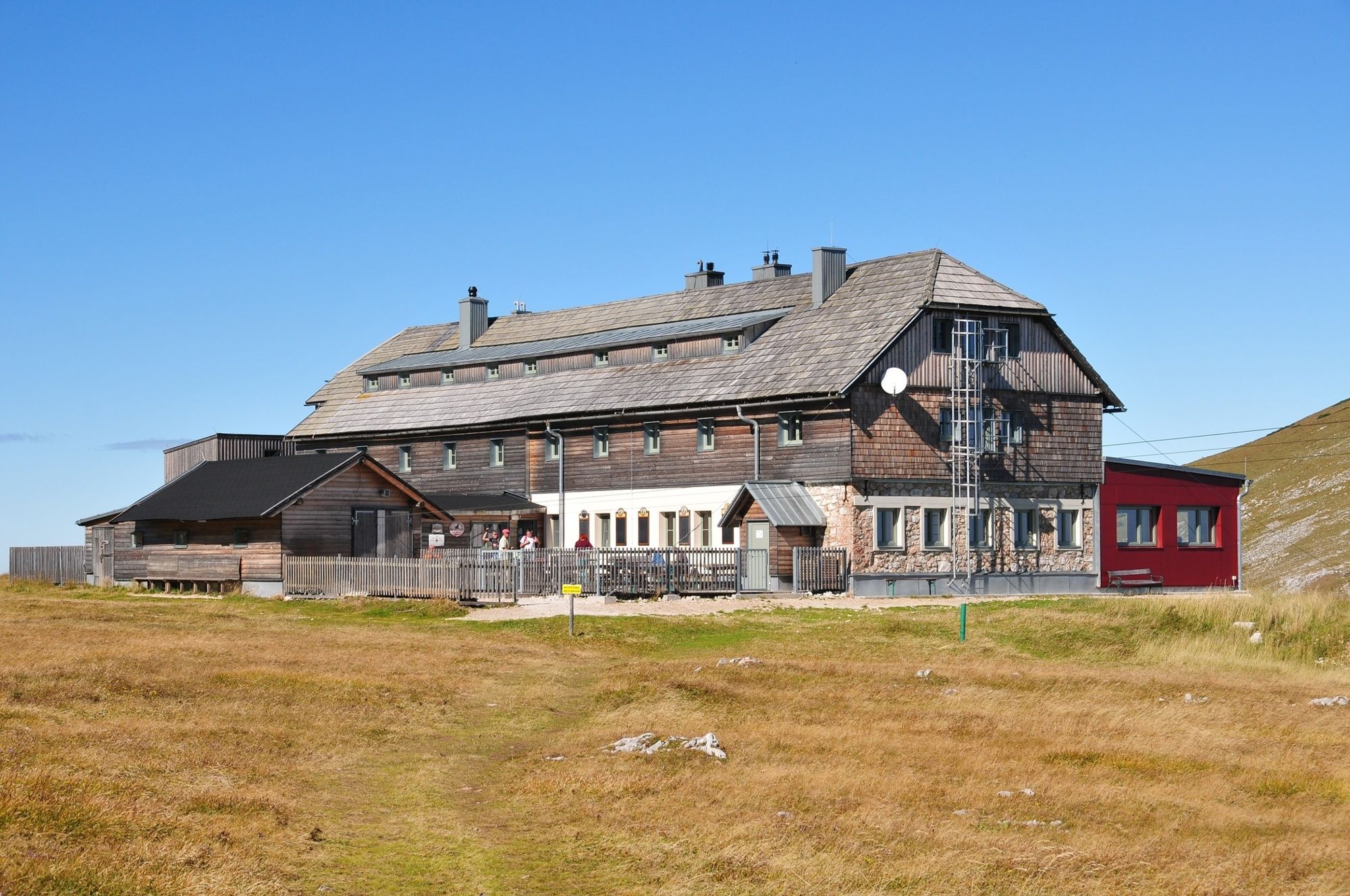
© ©Karl-Ludwig-Haus, Foto Gerold Hubmer - Wiener Alpen in Niederösterreich
Podaci o ruti
16,63km
1.074
- 1.888m
559hm
1.023hm
08:00h

- Kratak opis
-
Hiking from hut to hut – “hut hopping” – in the Rax is one of the most popular trails in the region. It means being able to hike in subalpine heights, through meadows and the mountain pine zone, without having to tackle difficult gradients.
- Teškoća
-
teška
- Vrednovanje
-
- Wegverlauf
-
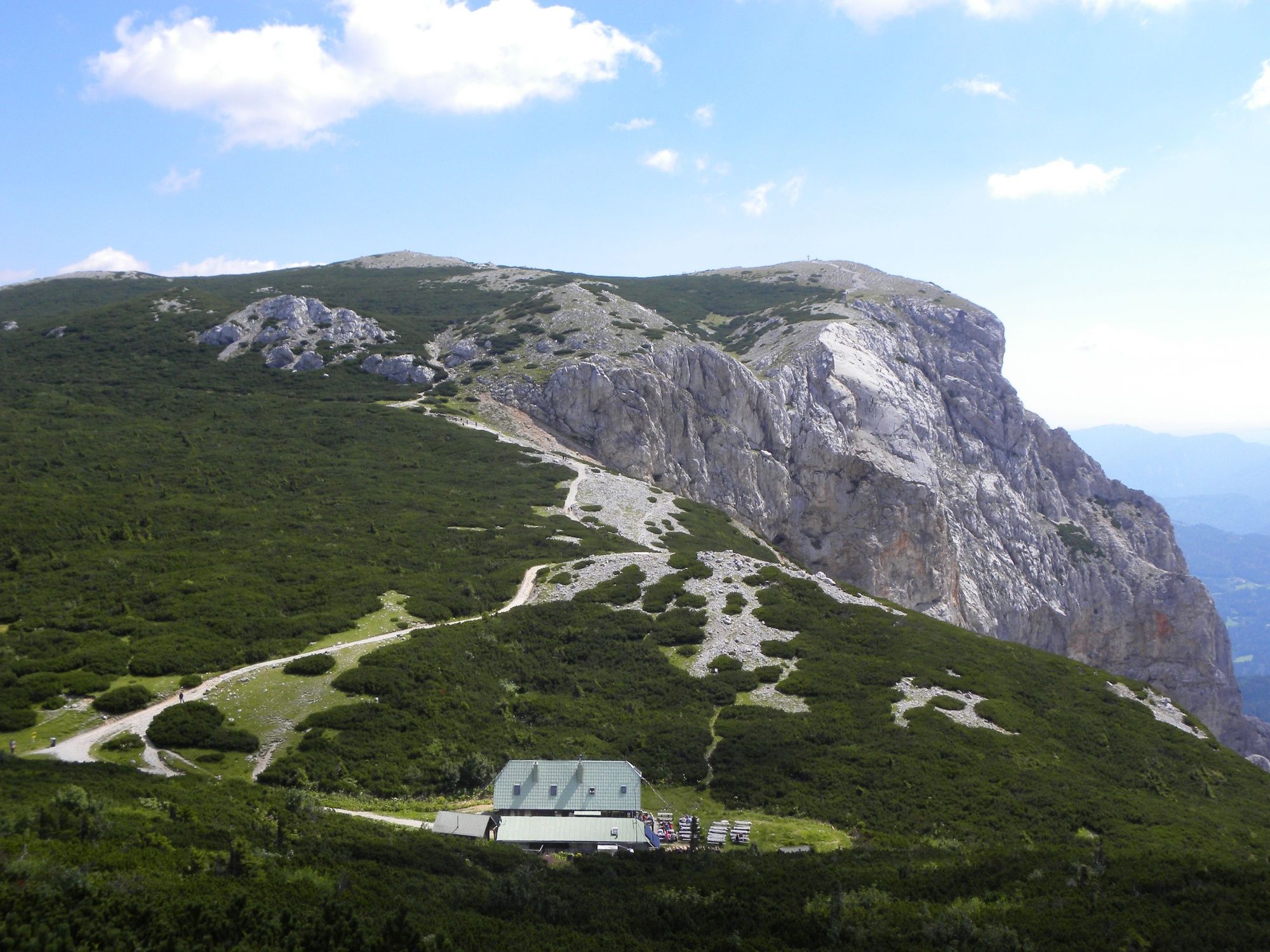
Berggasthof0,0 kmPraterstern (1.623 m)1,6 kmOttohaus1,7 kmVilma-Haid-Aussicht2,0 kmJakobskogelschacht2,0 kmHöhlenruine2,2 kmJakobskogel (1.737 m)2,3 kmJakobshöhle I2,3 kmHohe-Kanzel-Höhle3,0 kmHohe Kanzel (1.699 m)3,1 kmDuohöhle4,4 kmPreinerwandsteighöhle4,4 kmQuartetthöhle4,5 kmPreiner Wand (1.783 m)4,5 kmBrach5,4 kmNeue Seehütte5,5 kmKönigsschusssattel (1.654 m)5,5 kmEbenfeld (1.821 m)7,9 kmGrieskogel (1.786 m)8,4 kmSchneekogelschacht10,4 kmTörl (1.768 m)11,8 kmKarl-Ludwig-Haus12,1 kmEdelweisshütte16,5 km
- Beste Jahreszeit
-
sijveljožutrasvilipsrpkolrujlisstupro
- Höchster Punkt
- 1.888 m
- Zielpunkt
-
Raxalpen Berggasthof, summit station of the Rax aerial cableway
- Höhenprofil
-

- Autor
-
Die Tour Hut hopping in the Raxalpe area (Number 1) wird von outdooractive.com bereitgestellt.
GPS Downloads


Opće informacije
Einkehrmöglichkeit
Aussichtsreich
Weitere Touren in den Regionen
-
Hochsteiermark
4066
-
Waldheimat
2182
-
Altenberg an der Rax
564


