

© CMVisuals

© CMVisuals

© CMVisuals

© CMVisuals
Podaci o ruti
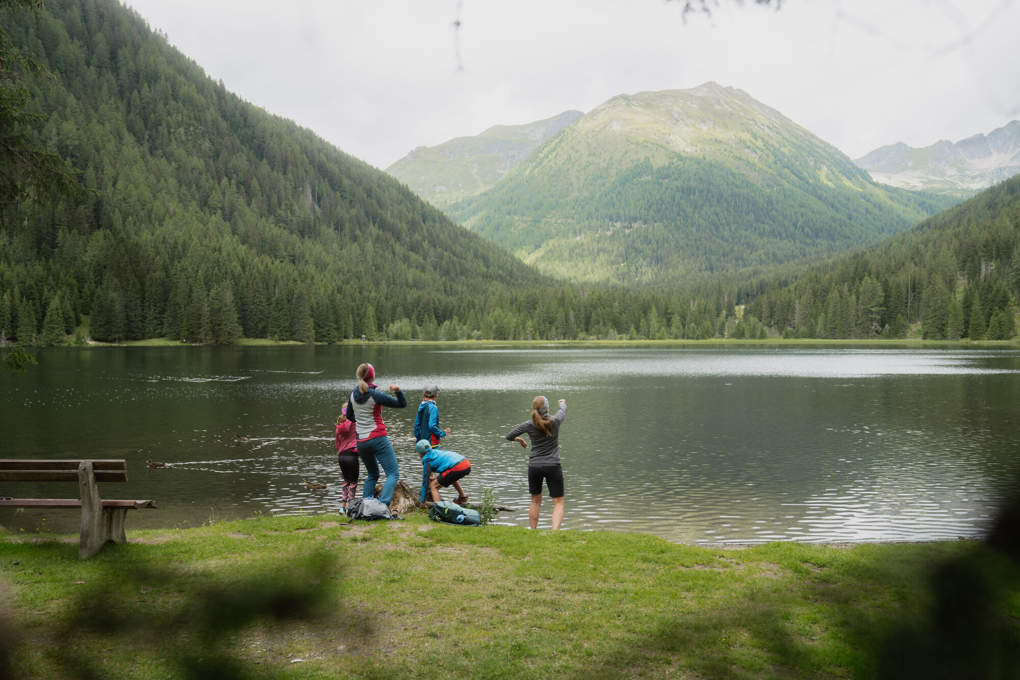
5,24km
1.300
- 1.377m
113hm
01:15h

- Kratak opis
-
Beautiful, leisurely hike for old and young; valley hike
- Teškoća
-
lagano
- Vrednovanje
-
- Polazna točka
-
Krakauebene - parking lot church
- Wegverlauf
-
Restaurant StigenwirthKrakauebene0,5 kmKarlhütte4,5 kmForellenstation Etrachsee5,1 km
- Beste Jahreszeit
-
sijveljožutrasvilipsrpkolrujlisstupro
- Höchster Punkt
- 1.377 m
- Rast/Einkehr
-
Karlhütte Inn; Trout Station at Lake Etrachsee
- Materijal za karte


GPS Downloads


Wegbeschaffenheit
Asfalt
(10%)
Šljunak
(20%)
Livada
(30%)
Šuma
(40%)
Stijena
Istaknuto
Weitere Touren in den Regionen


