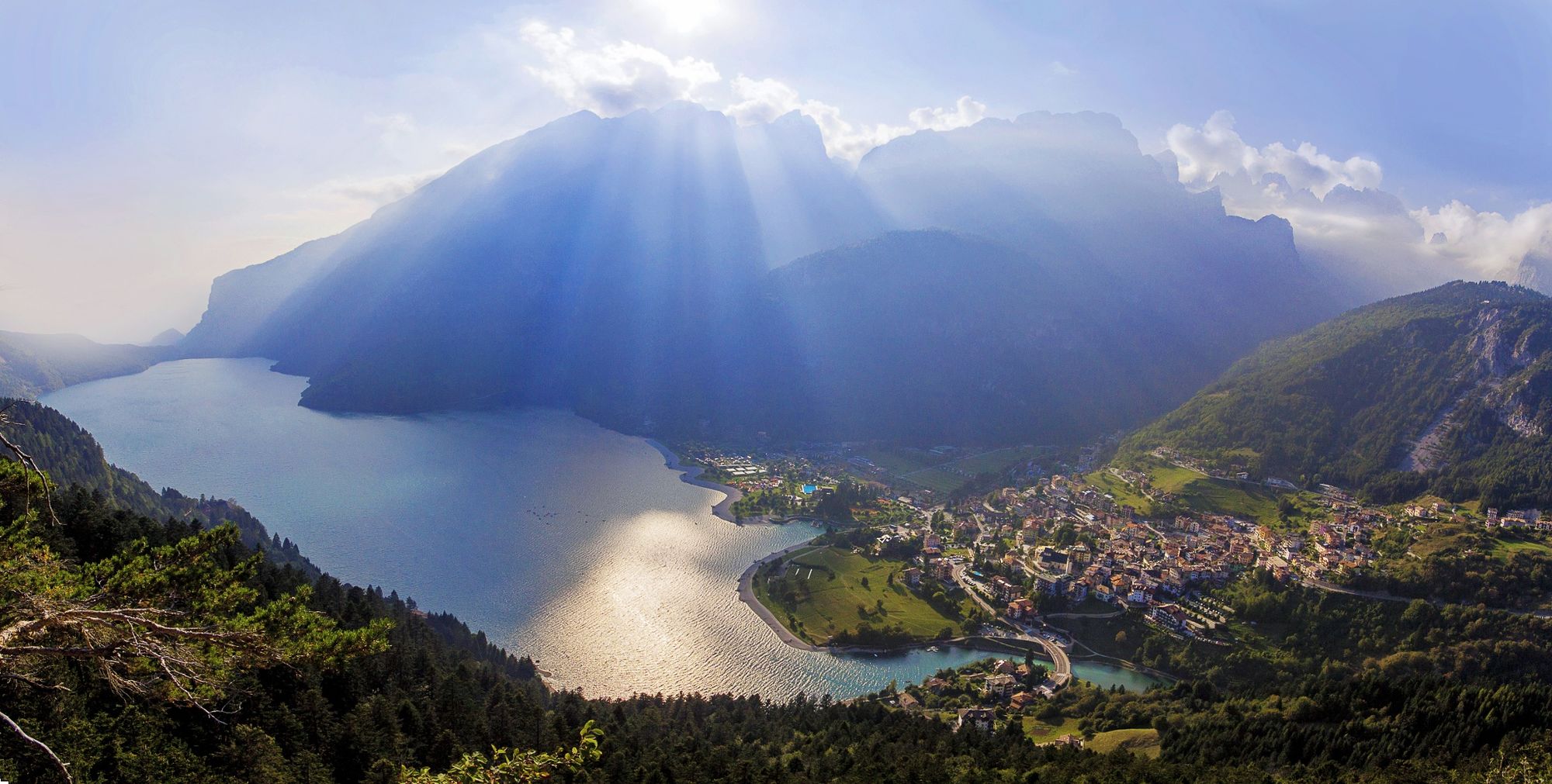
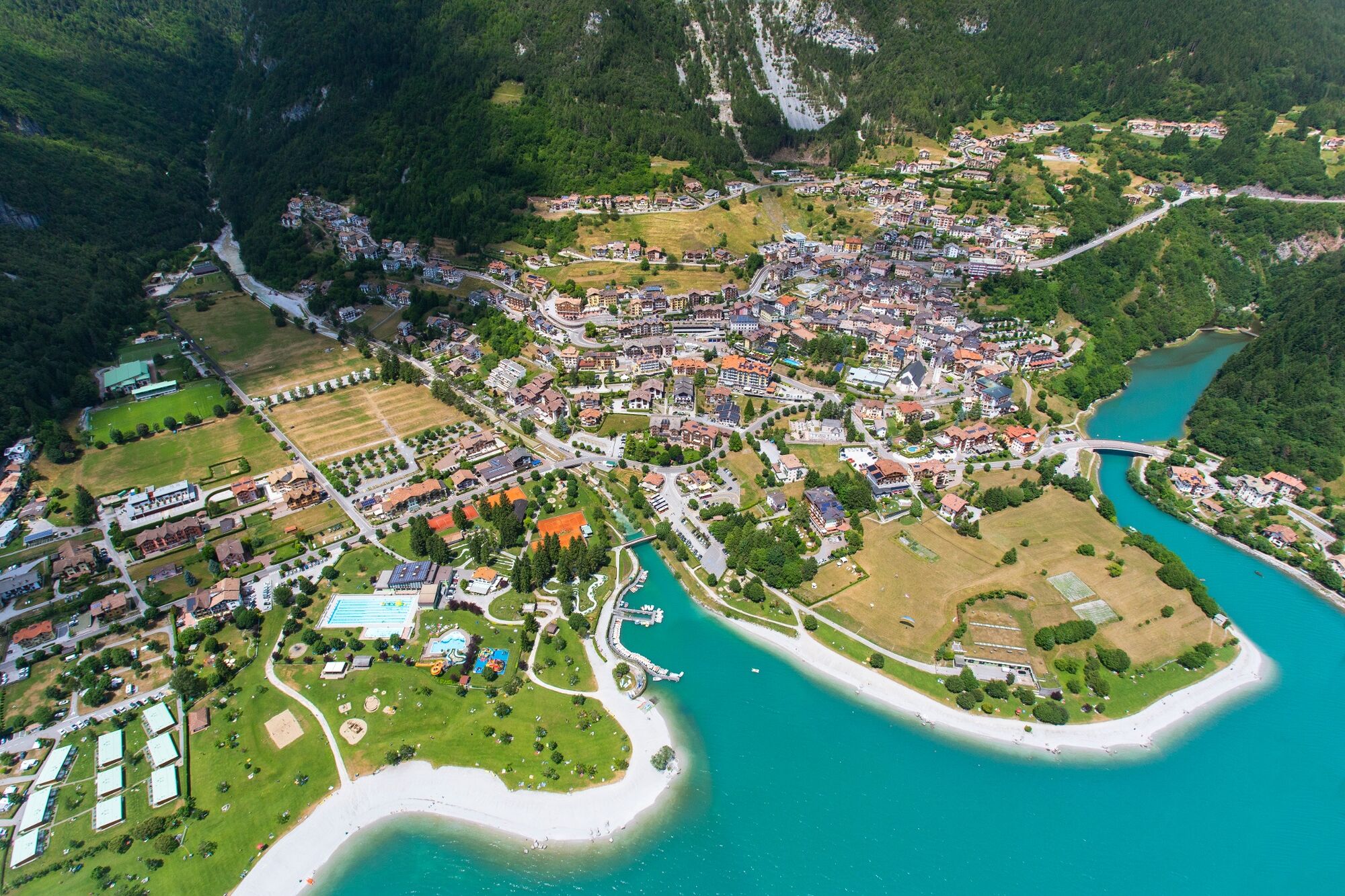
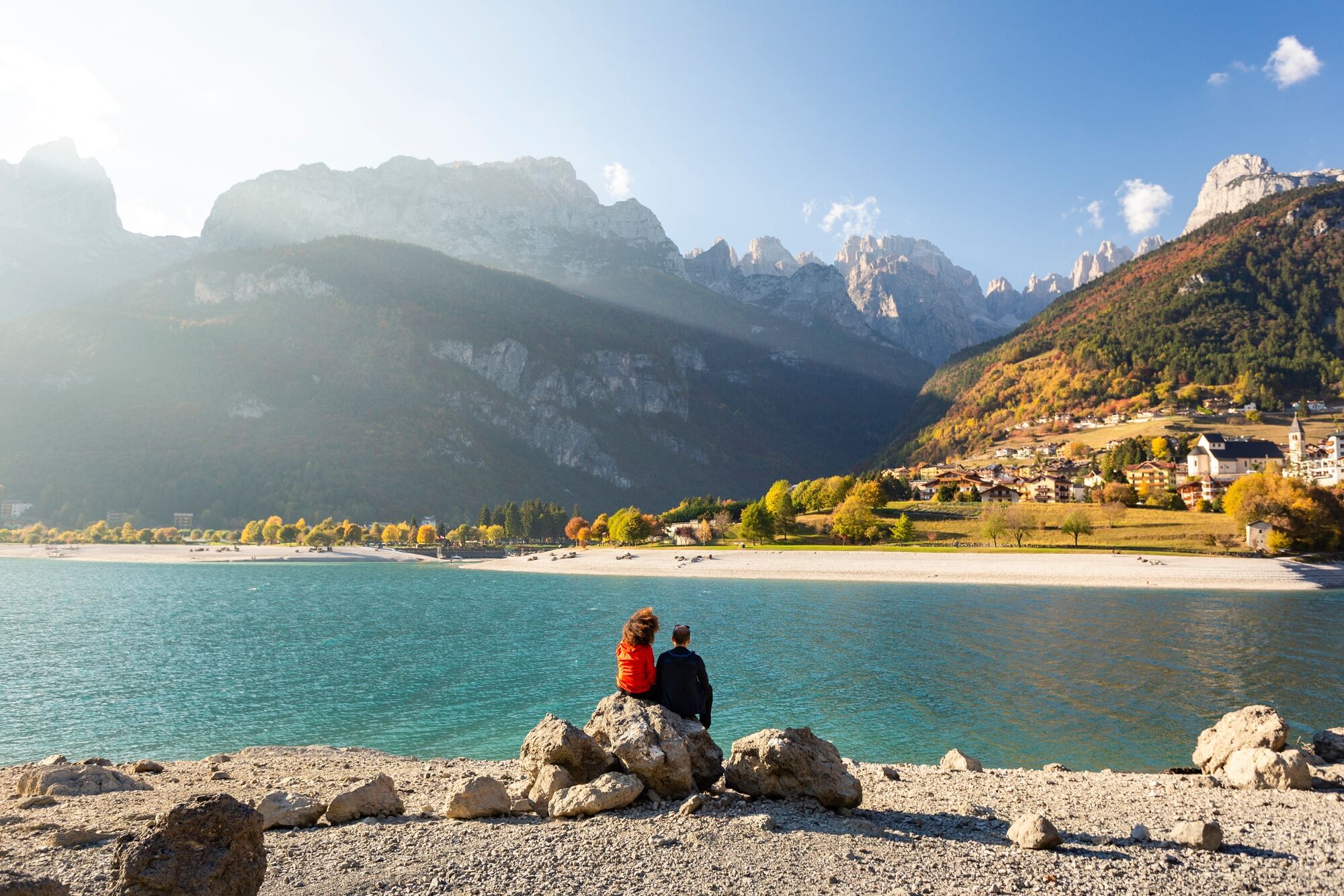
© Dolomiti di Brenta e Paganella - ph. Frizzera

© Dolomiti di Brenta e Paganella - ph. Modica

© Dolomiti di Brenta e Paganella - ph. Frizzera

© Dolomiti di Brenta e Paganella - ph. Frizzera

© Dolomiti di Brenta e Paganella - ph. Frizzera

- Kratak opis
-
Two steps in front of the blue water
- Teškoća
-
lagano
- Vrednovanje
-
- Wegverlauf
-
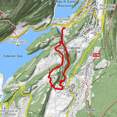
Cascata sul lago di Bior0,4 kmParco giochi1,5 kmMolveno1,6 km
- Beste Jahreszeit
-
sijveljožutrasvilipsrpkolrujlisstupro
- Höchster Punkt
- 866 m
- Zielpunkt
-
Molveno - Biorsee
- Höhenprofil
-
 © outdooractive.com


-

-
AutorDie Tour On the banks of Molveno lake and Bior lake wird von outdooractive.com bereitgestellt.
GPS Downloads


Opće informacije
Einkehrmöglichkeit
Heilklima
Aussichtsreich
Weitere Touren in den Regionen