

© Au-Schoppernau Tourismus - Monika Albrecht
© Au-Schoppernau Tourismus - Monika Albrecht

© Au-Schoppernau Tourismus - Monika Albrecht

© Au-Schoppernau Tourismus - Monika Albrecht

© Au-Schoppernau Tourismus - Monika Albrecht

© Au-Schoppernau Tourismus - Monika Albrecht

© Au-Schoppernau Tourismus - Monika Albrecht

© Au-Schoppernau Tourismus - Monika Albrecht

© Au-Schoppernau Tourismus - Monika Albrecht

© Au-Schoppernau Tourismus - Monika Albrecht

- Kratak opis
-
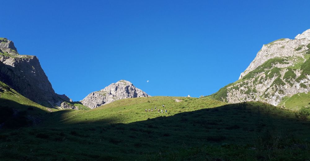
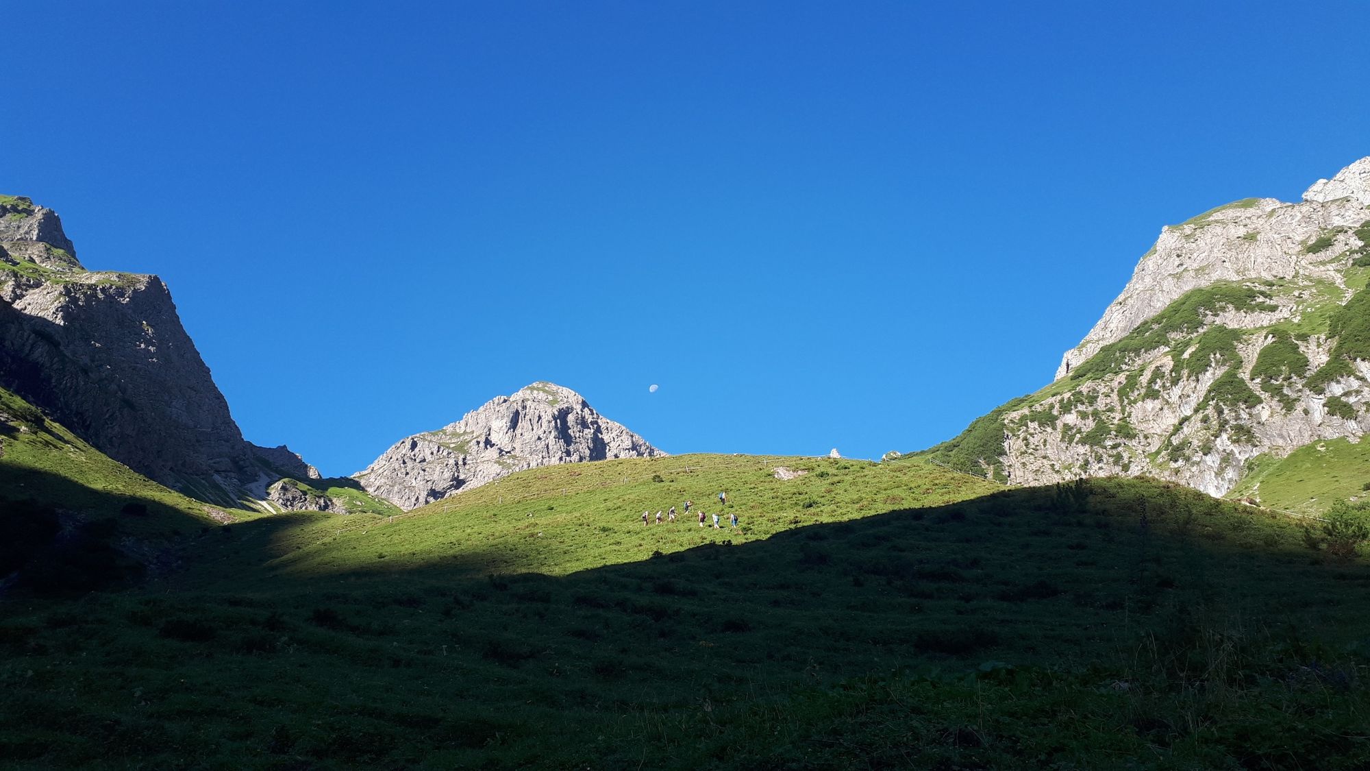
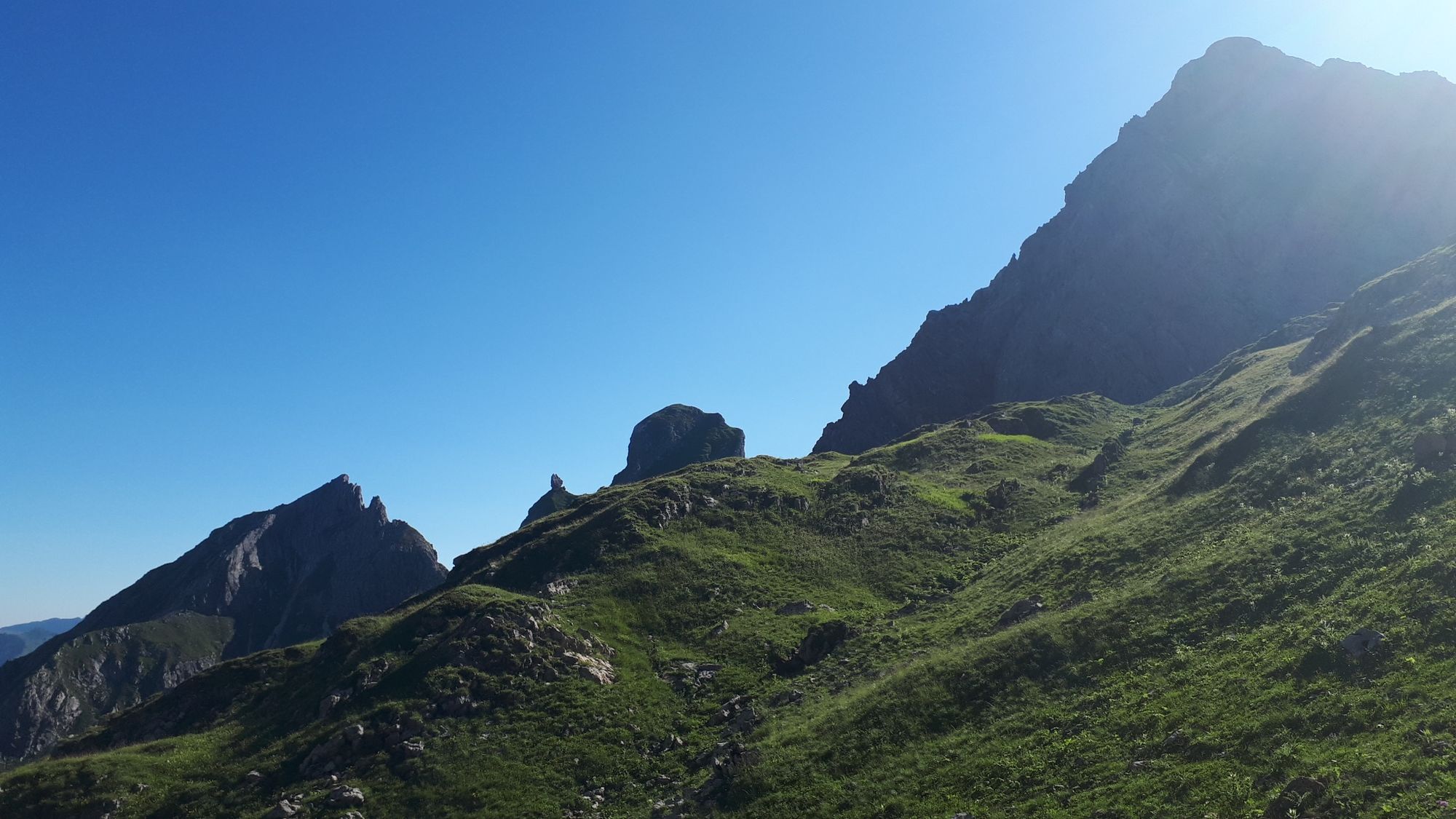
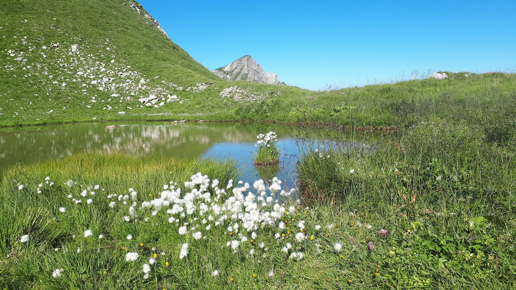
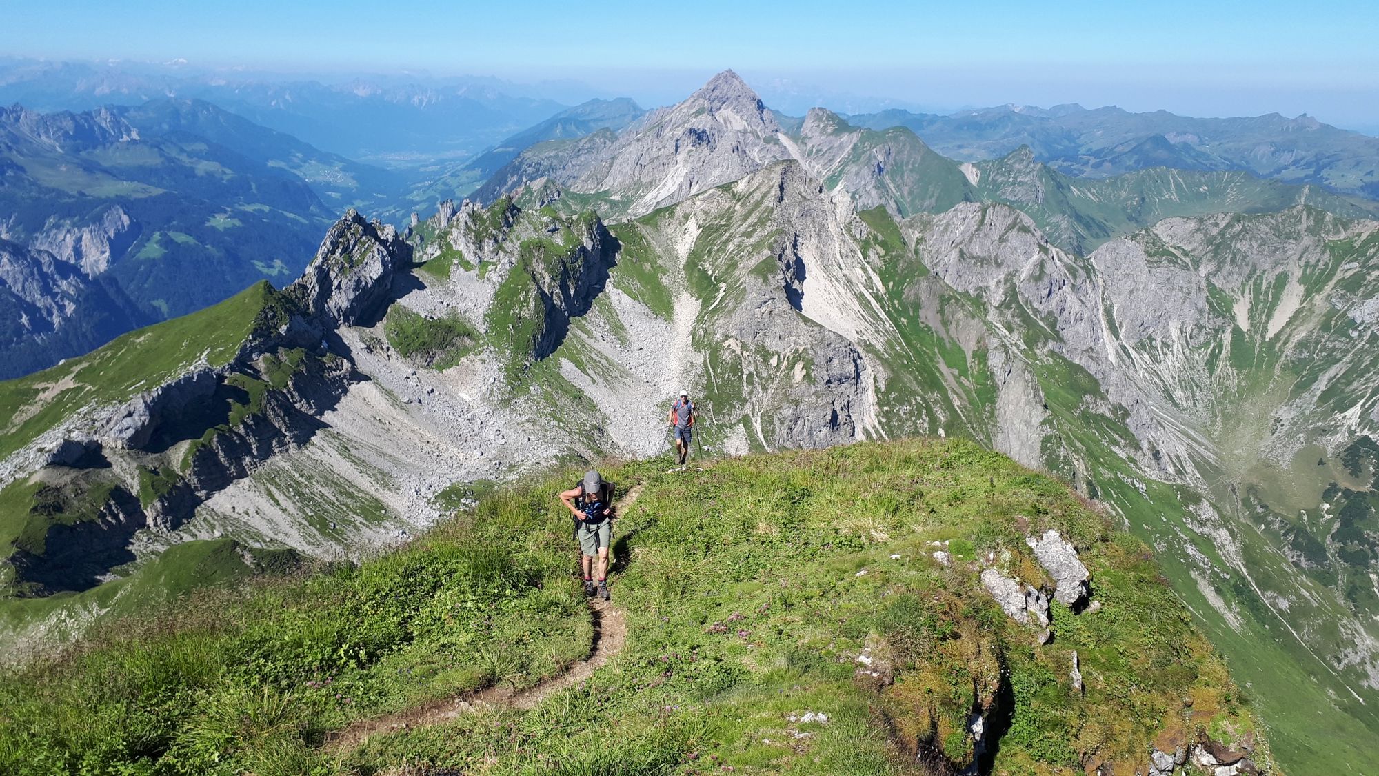
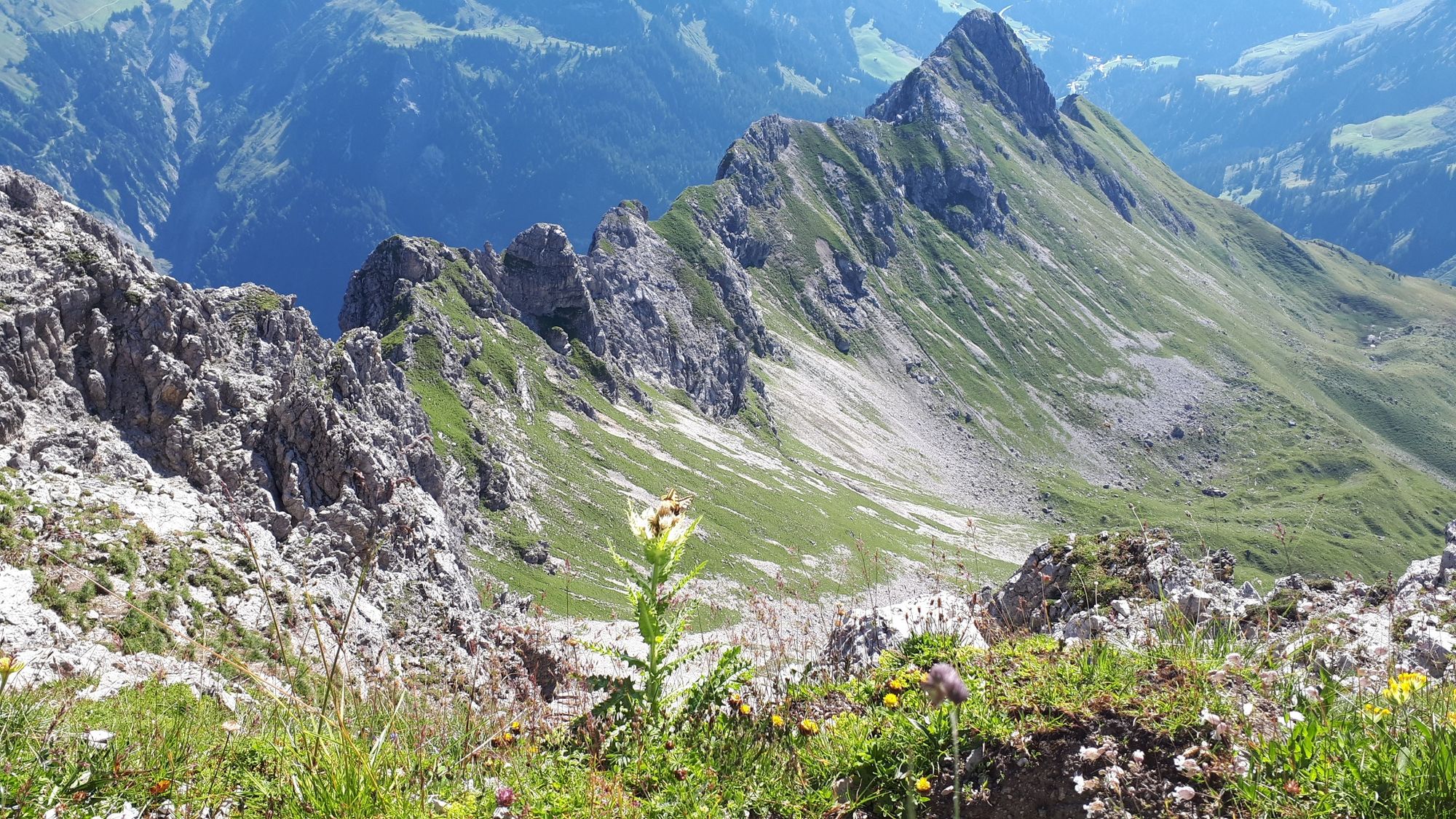
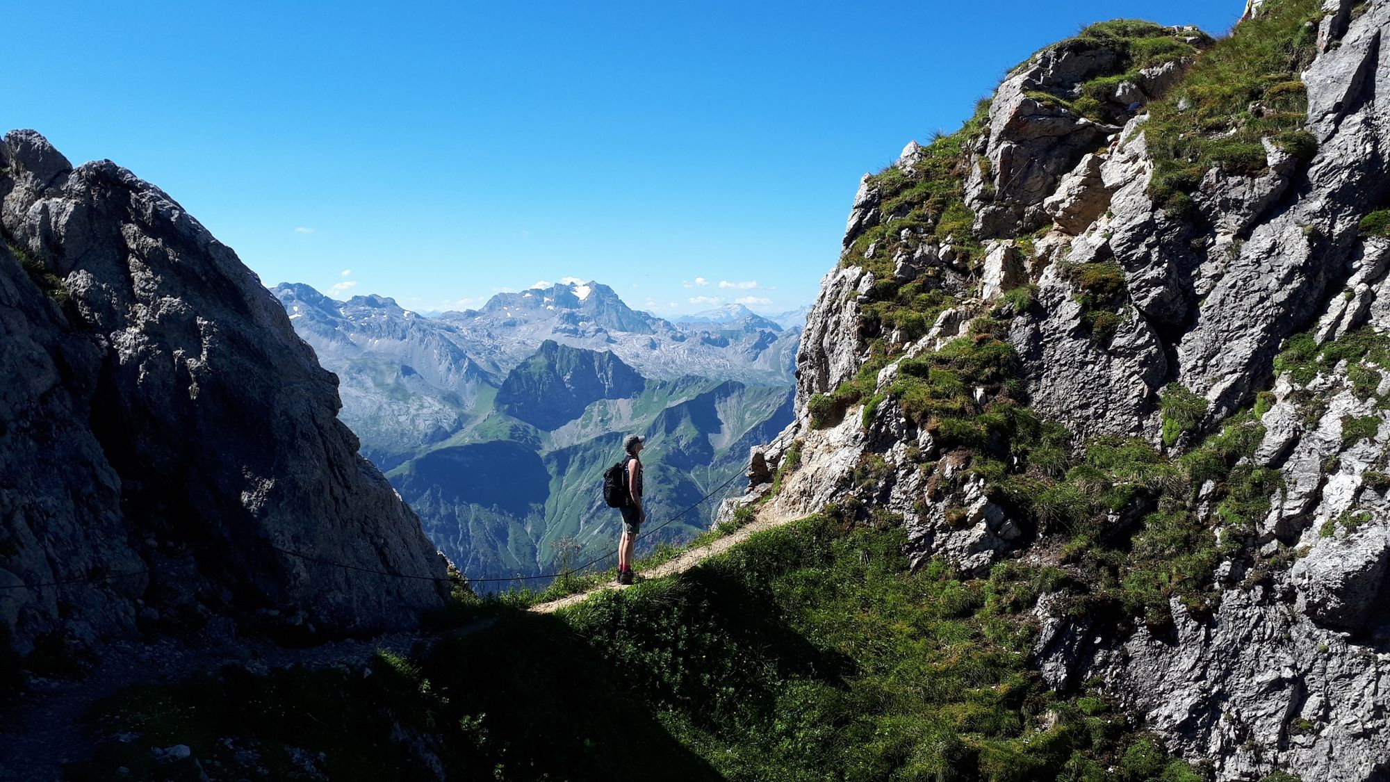
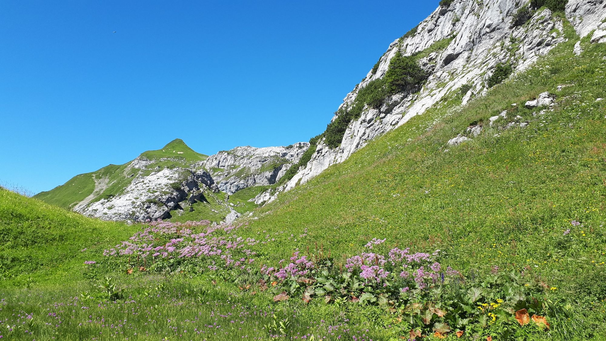
Schoppernau Ortsmitte - Vorsäß Schalzbach - Oberschalzbachalpe - Gautalpen - Hochkünzelspitze - Biberacher Hütte - Landsteg Bushaltestelle
- Teškoća
-
teška
- Vrednovanje
-
- Wegverlauf
-
Schoppernau (852 m)Hotel Gasthof Adler0,1 kmTresoli0,1 kmWirtshaus zum Gämsle0,5 kmVorsäß Schalzbach4,6 kmKapelle Schalzbachvorsäß4,6 kmGlattjöchl (2.175 m)10,2 kmHochkünzelspitze (2.397 m)10,9 kmBiberacher Hütte (1.846 m)13,3 kmSchadonapass (1.836 m)13,5 kmRothenplatz13,8 kmLandsteg18,9 km
- Beste Jahreszeit
-
sijveljožutrasvilipsrpkolrujlisstupro
- Höchster Punkt
- 2.366 m
- Zielpunkt
-
Landsteg Bushaltestelle
- Höhenprofil
-


-

-
AutorDie Tour Au-Schoppernau | Hochkünzelspitze wird von outdooractive.com bereitgestellt.
GPS Downloads


Opće informacije
Einkehrmöglichkeit
Aussichtsreich
Weitere Touren in den Regionen
-
Bregenzerwald
2295
-
Au - Schoppernau
756


