
Podaci o ruti
6,49km
1.485
- 2.068m
507hm
545hm
02:30h

- Kratak opis
-
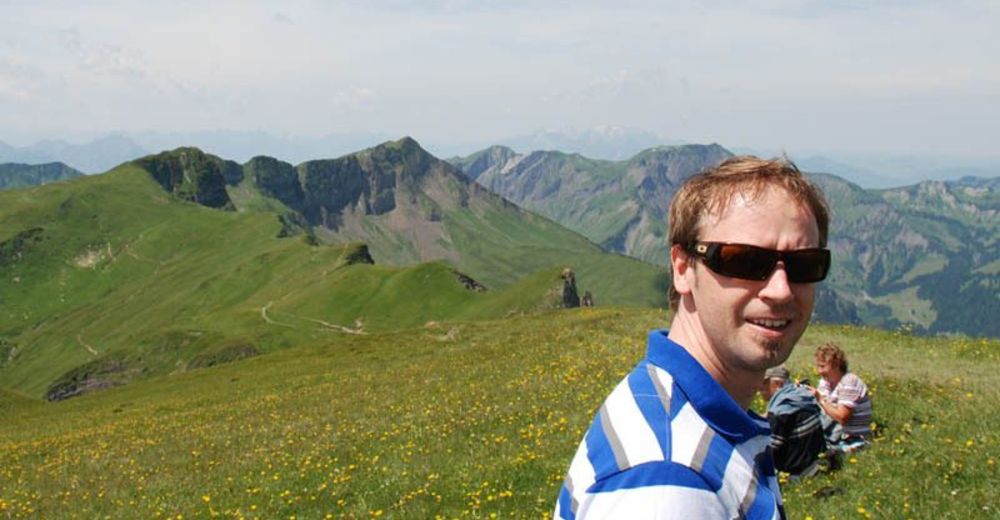
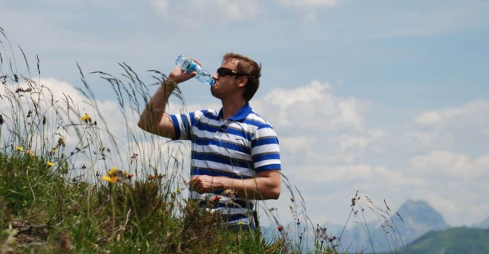
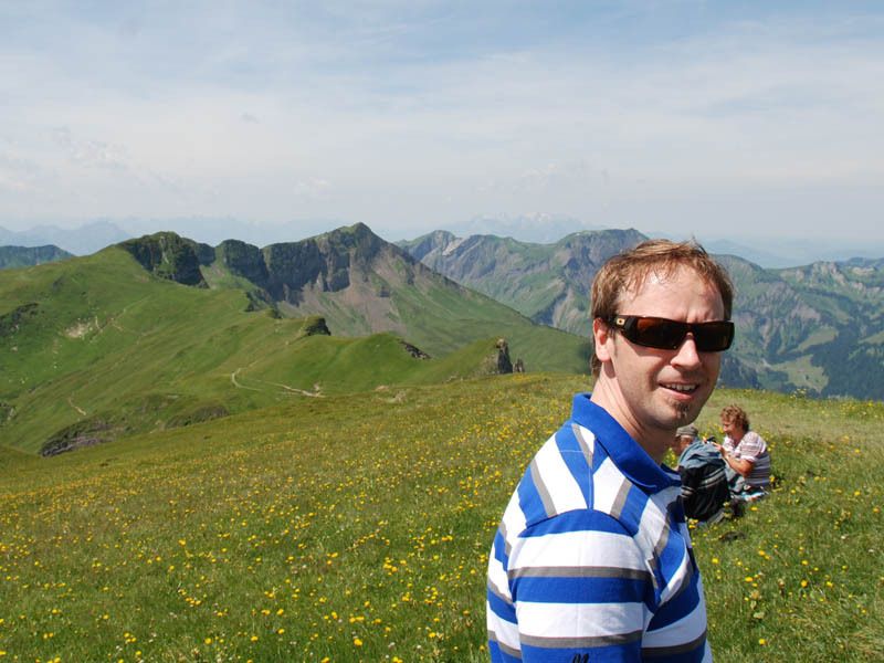
Gipfeltour für geübte, schwindelfreie und trittsichere Wanderer mit guter Kondition.
- Teškoća
-
srednje
- Vrednovanje
-
- Polazna točka
-
Seilbahnen Faschina
- Wegverlauf
-
FaschinaHahnenkopf (1.772 m)0,6 kmGlatthorn (2.133 m)3,0 kmFranz-Josef-Hütte4,8 kmFaschina6,3 kmDSB Stafelalpe6,4 km
- Beste Jahreszeit
-
sijveljožutrasvilipsrpkolrujlisstupro
- Höchster Punkt
- 2.068 m
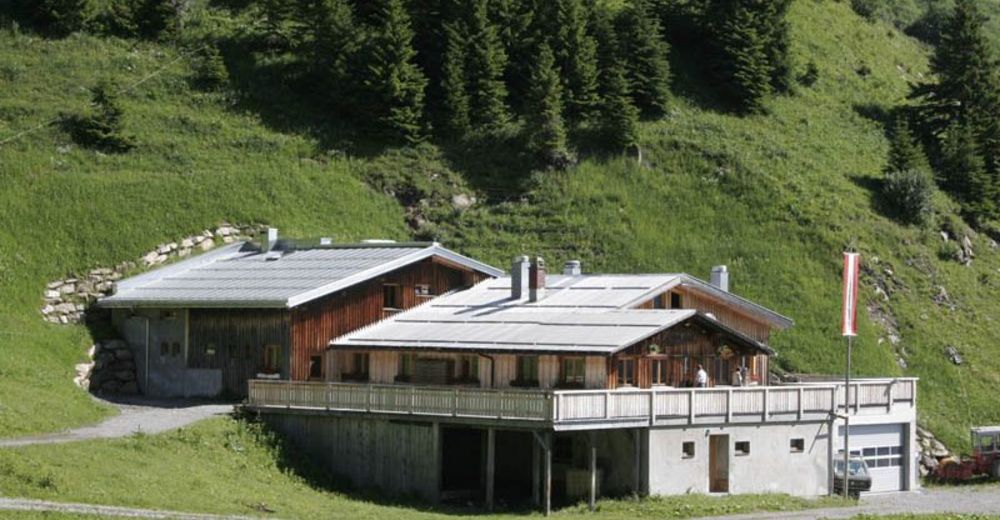
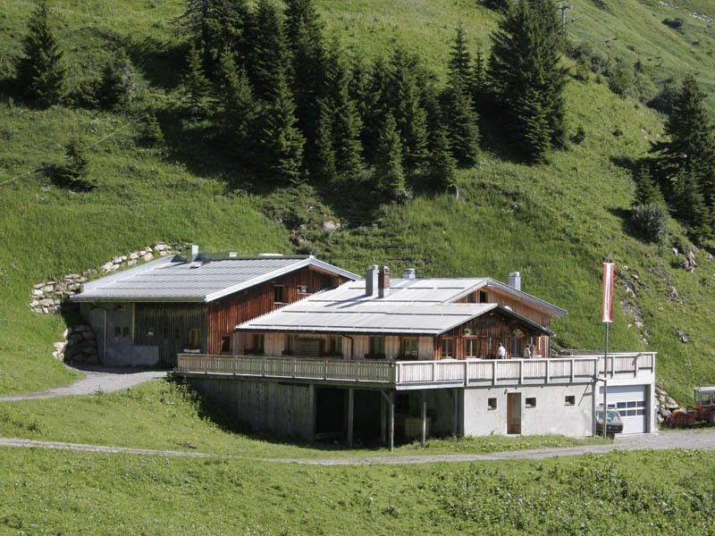
- Rast/Einkehr
-
Franz - Josef Hütte

GPS Downloads


Wegbeschaffenheit
Asfalt
Šljunak
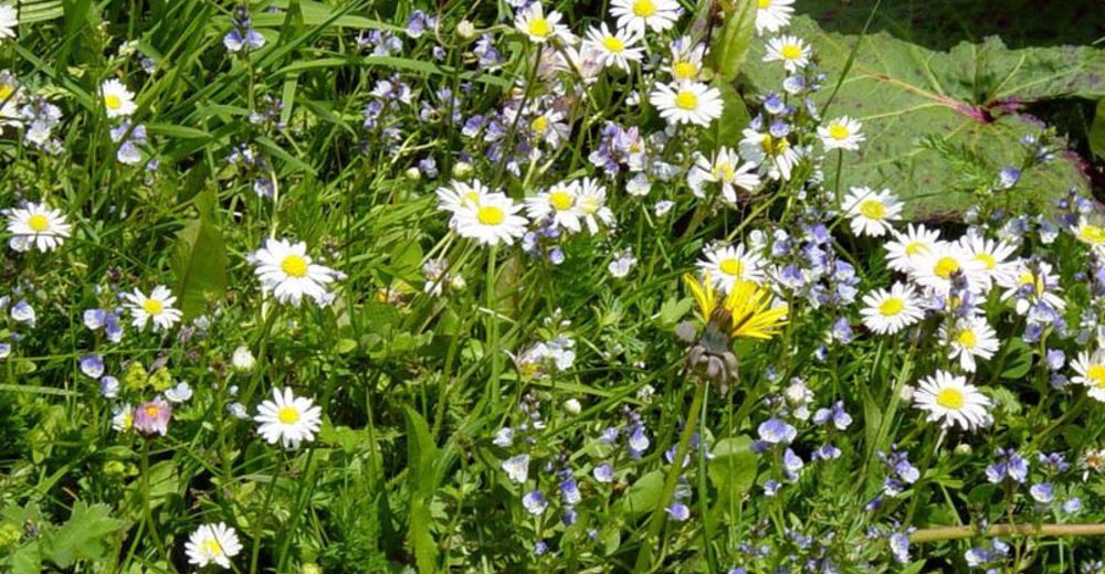
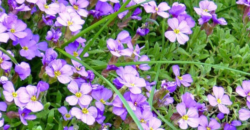
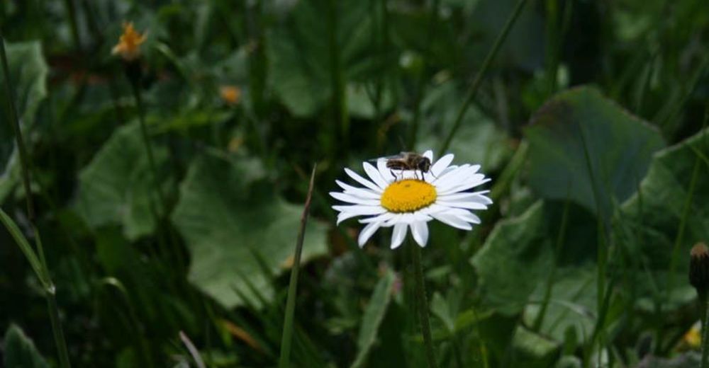
Livada
Šuma
Stijena
Istaknuto
Weitere Touren in den Regionen
-
St. Gallen - Bodensee
2065
-
Biosphärenpark Großes Walsertal
2006
-
Damüls
576


