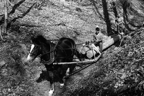
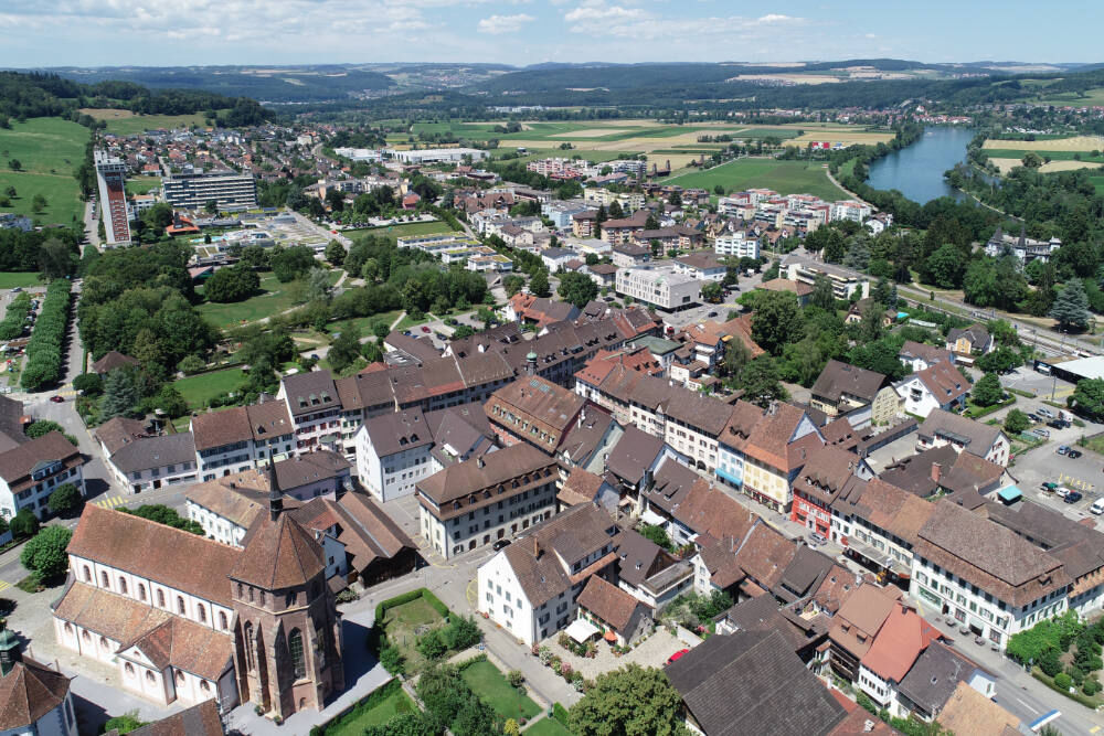
© Bad Zurzach Tourismus AG

© Bad Zurzach Tourismus AG

© Bad Zurzach Tourismus AG

© Bad Zurzach Tourismus AG

© Bad Zurzach Tourismus AG - Bettina Oeschger

© Bad Zurzach Tourismus AG - Bettina Oeschger

© Bad Zurzach Tourismus AG

© Bad Zurzach Tourismus AG

© Bad Zurzach Tourismus AG

- Kratak opis
-
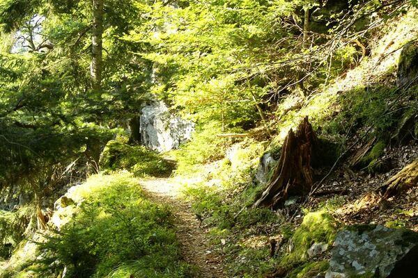
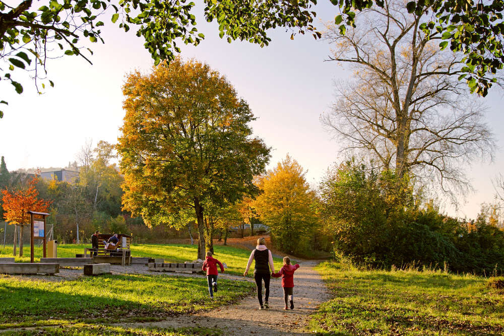
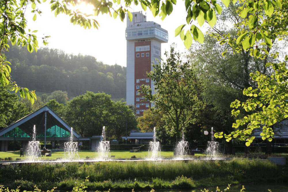
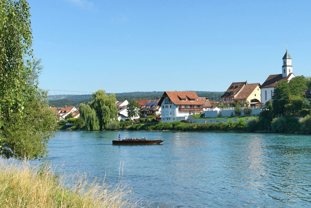
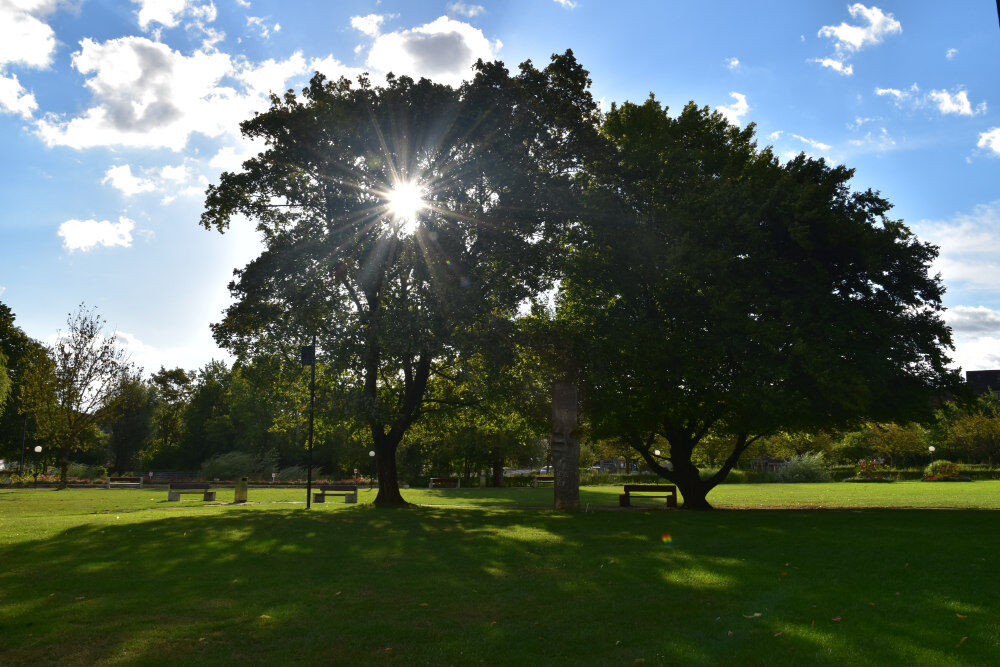
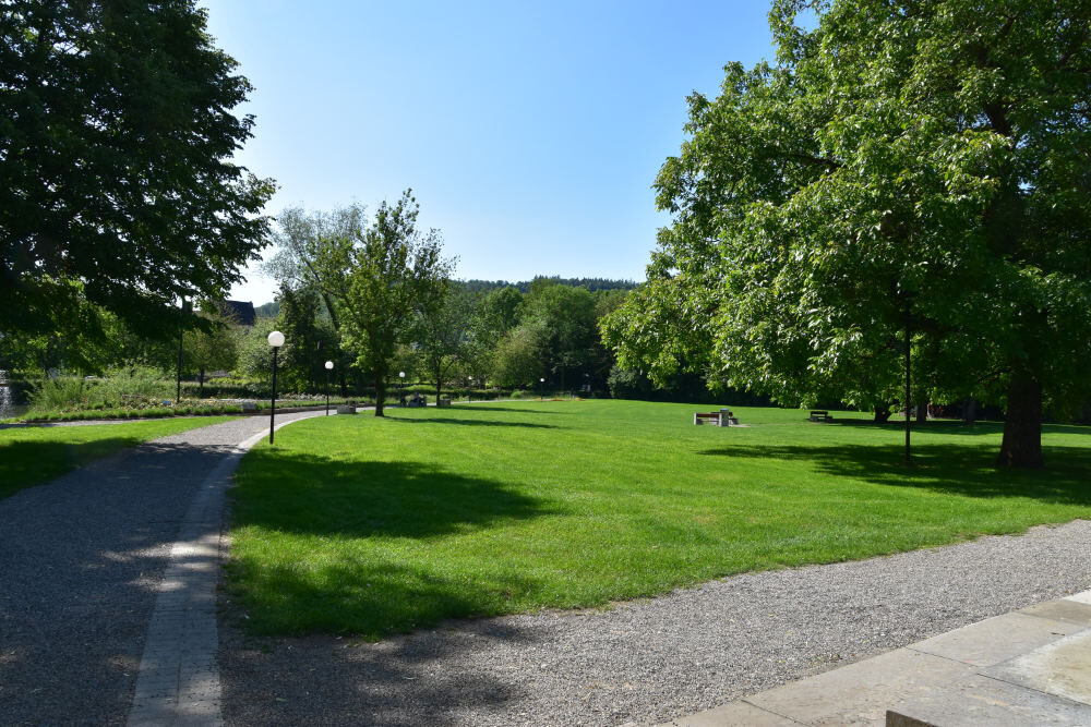
Let's try to consciously pause for a moment, switch off from the stress of everyday life and perceive our natural habitat of Zurzach with alert senses.
- Teškoća
-
lagano
- Vrednovanje
-
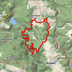
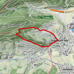
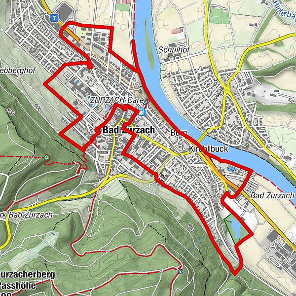
- Wegverlauf
-
Bad Zurzach (339 m)Rheinheim5,0 kmKirchlibuck5,2 kmBad Zurzach (340 m)8,7 kmBad Zurzach (339 m)8,9 km
- Beste Jahreszeit
-
sijveljožutrasvilipsrpkolrujlisstupro
- Höchster Punkt
- 391 m
- Zielpunkt
-
Bad Zurzach, railway station
- Höhenprofil
-
 © outdooractive.com


-

-
AutorDie Tour The nature trail wird von outdooractive.com bereitgestellt.
GPS Downloads


Opće informacije
Einkehrmöglichkeit
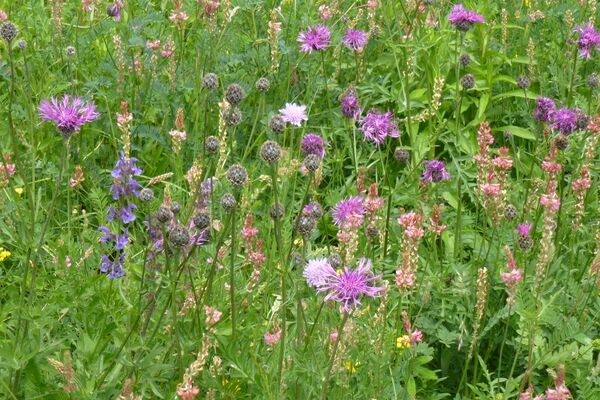
Flora
Fauna
Aussichtsreich
Weitere Touren in den Regionen
-
Kanton Aargau
1492
-
Hochrhein
755
-
Bad Zurzach
152