


- Teškoća
-
teška
- Vrednovanje
-
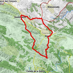
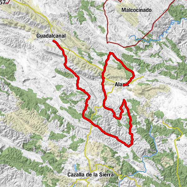
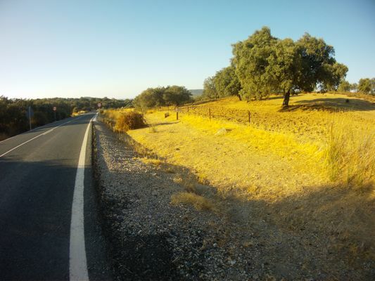
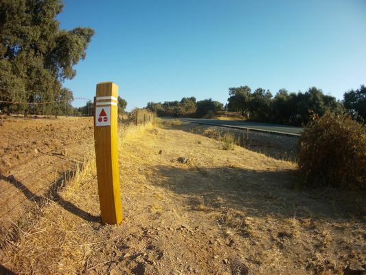
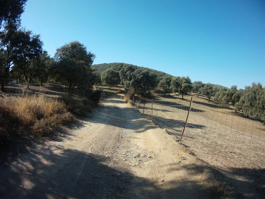
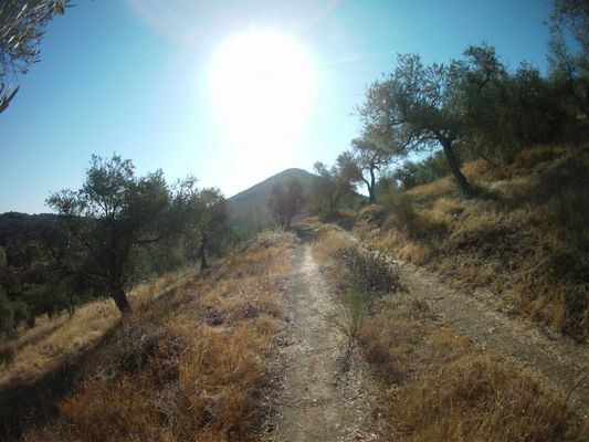
- Wegverlauf
-
Alanís (673 m)
- Höchster Punkt
- 763 m
- Zielpunkt
-
Guadalcanal
- Höhenprofil
-
 © outdooractive.com
- Autor
-
Die Tour Centro MTB Alanís. Comarcal Norte, Tramo 1 wird von outdooractive.com bereitgestellt.
GPS Downloads


Opće informacije
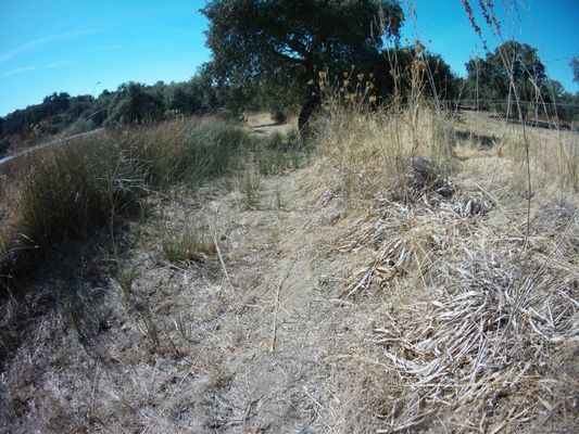
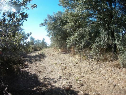
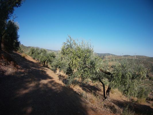
Flora