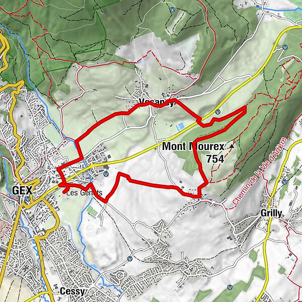
The " Druides " blue route n°4 Gex-Mourex-Vesancy

Mountainbike

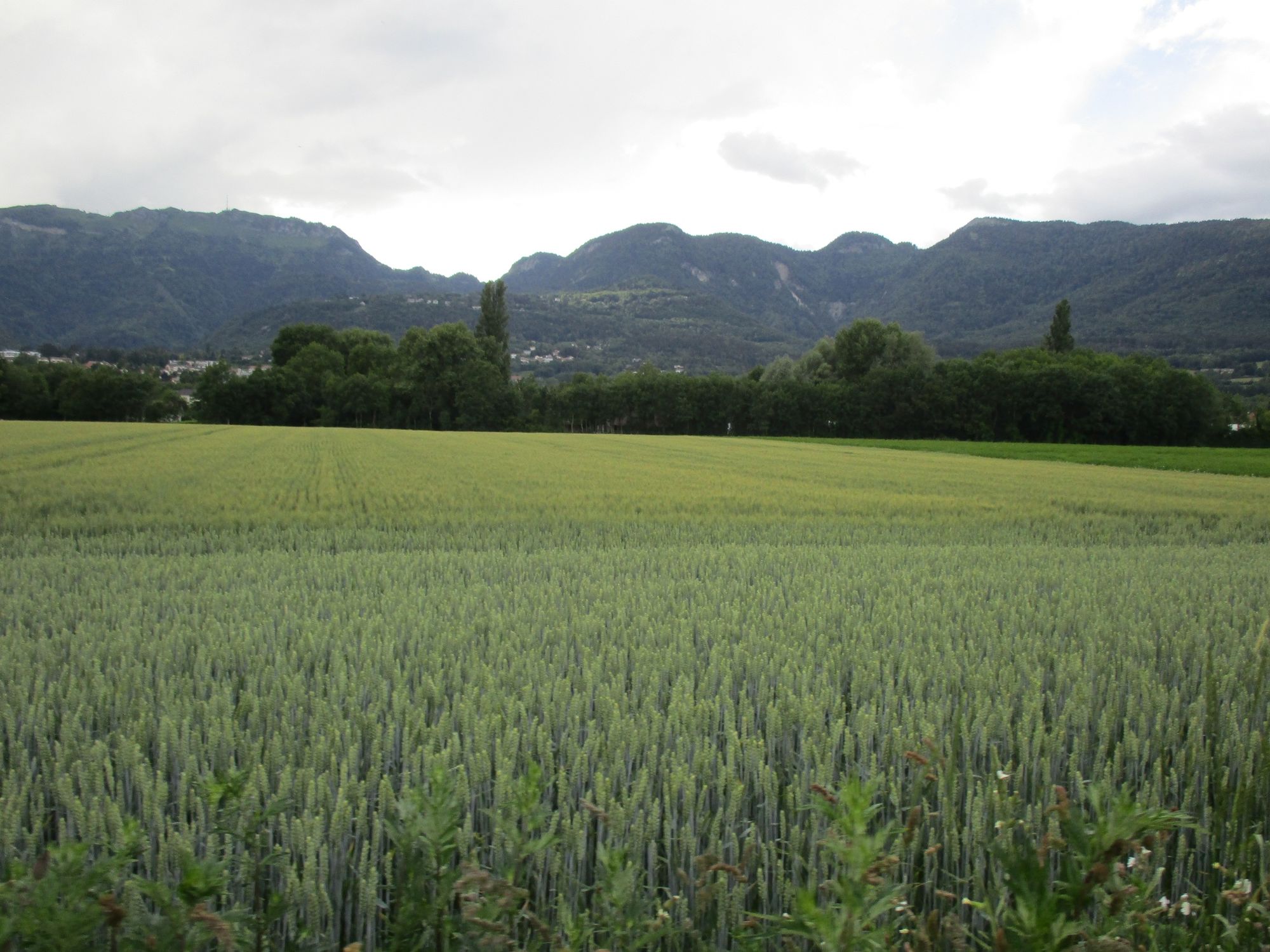
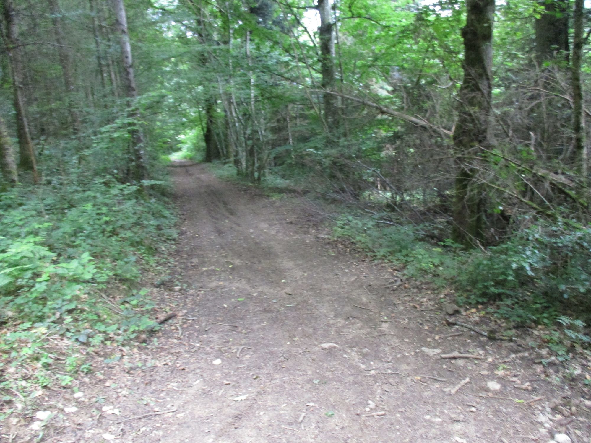
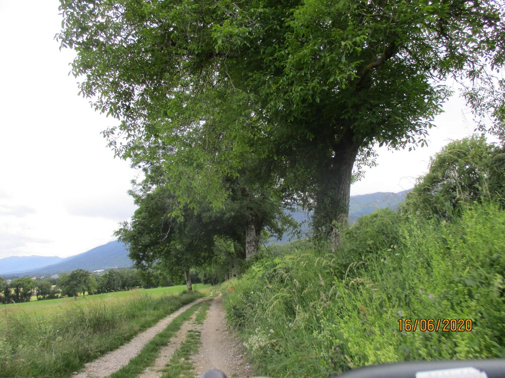
© Pays de Gex et sa Station Monts Jura - Anne-Marie Barbe

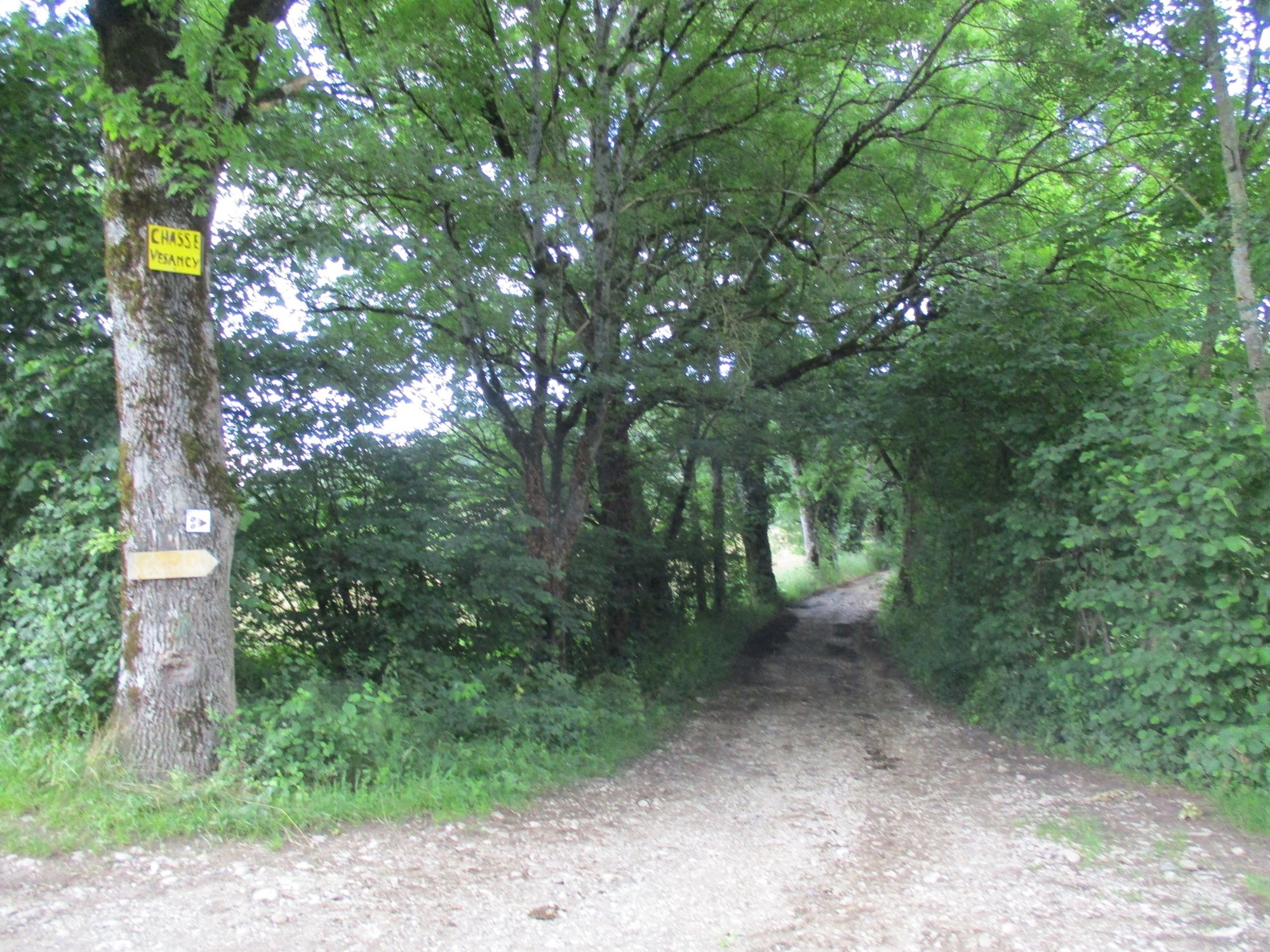
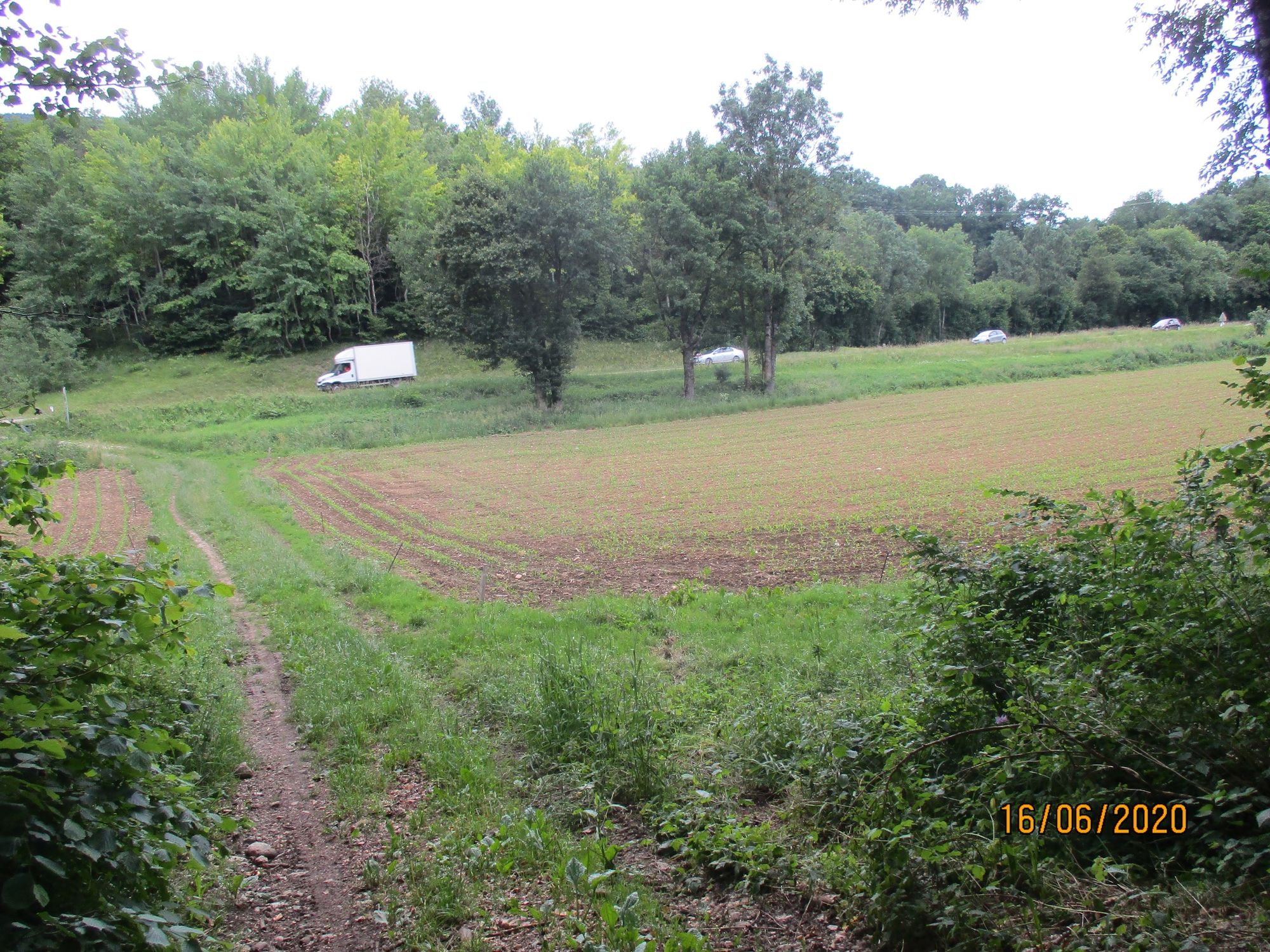
© Pays de Gex et sa Station Monts Jura - Anne-Marie Barbe

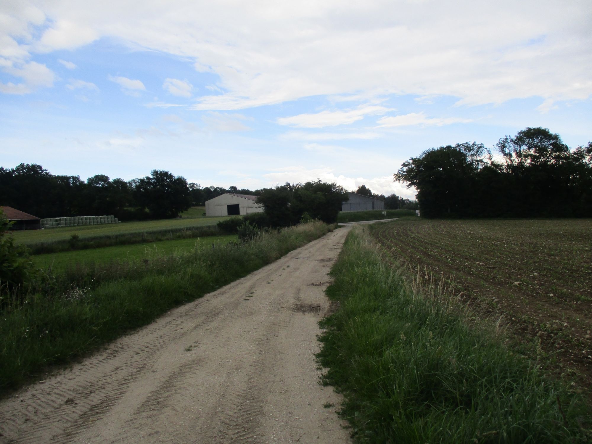
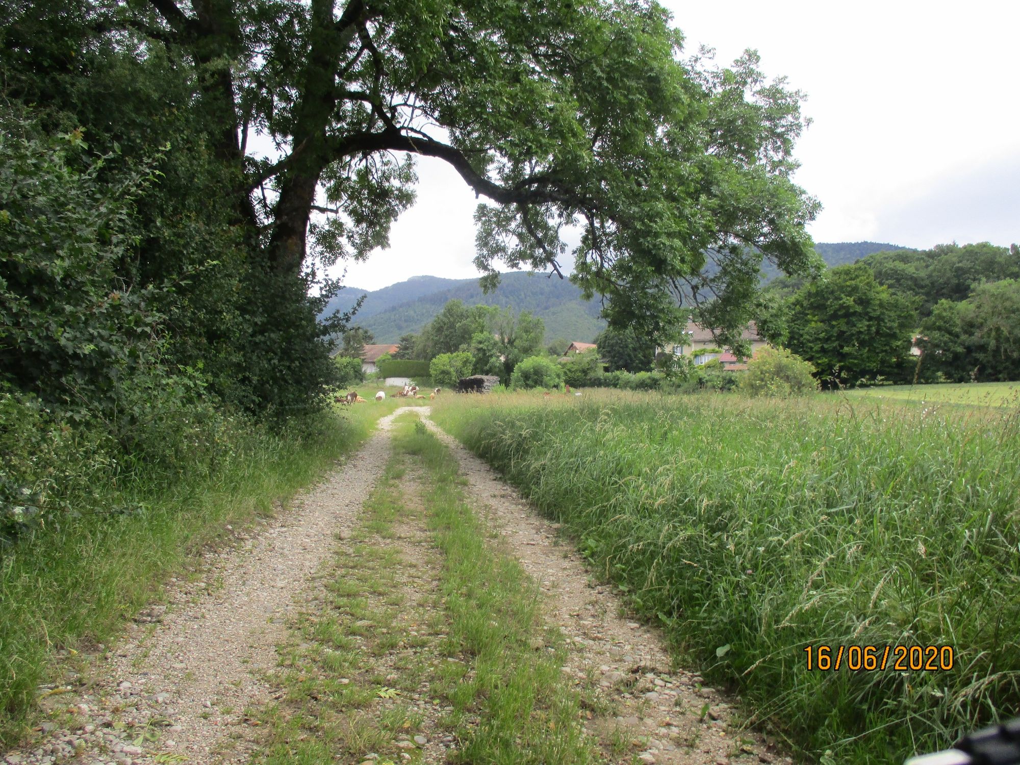
© Pays de Gex et sa Station Monts Jura - Anne-Marie Barbe

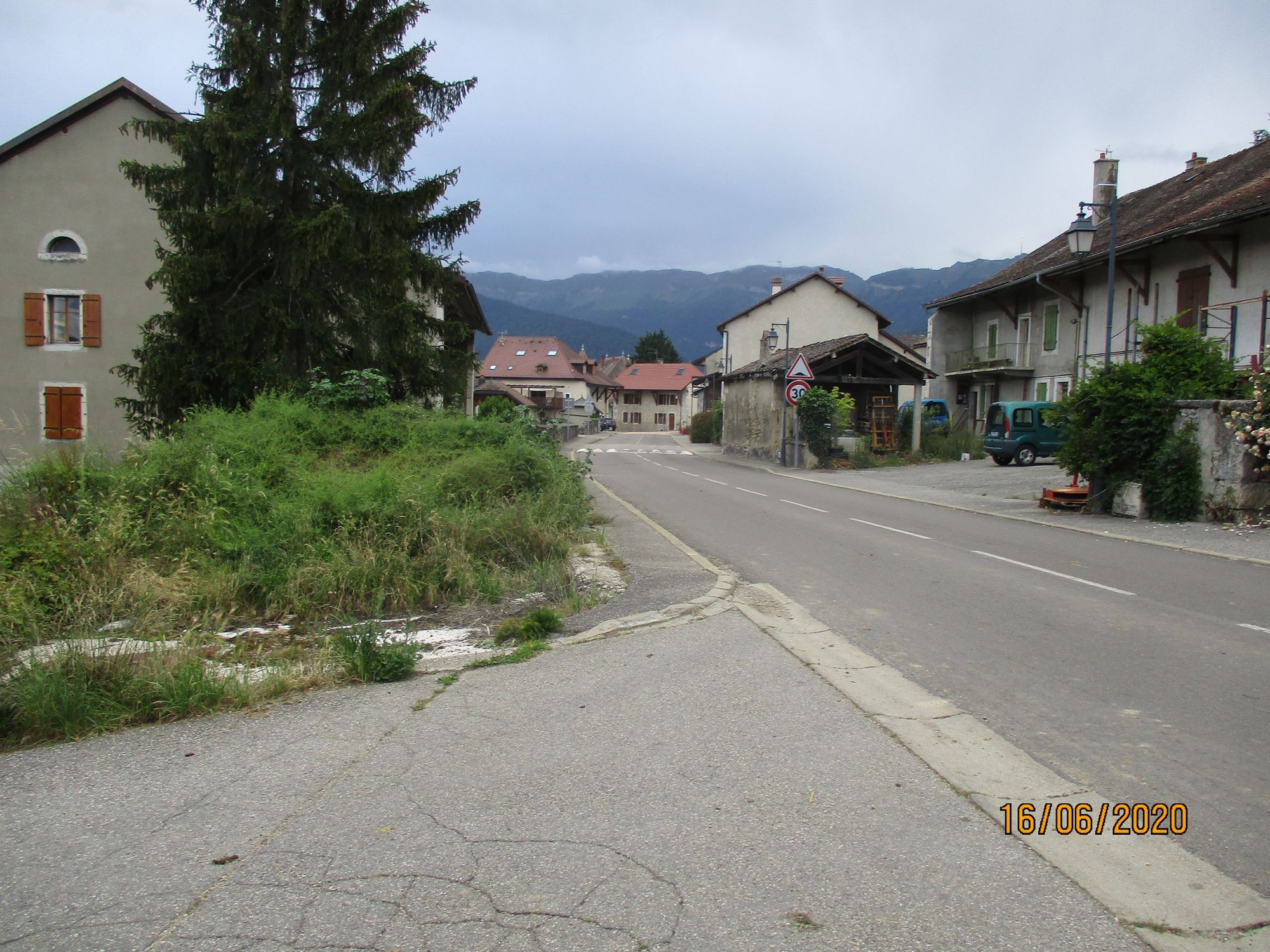
© Pays de Gex et sa Station Monts Jura - Anne-Marie Barbe

© Pays de Gex et sa Station Monts Jura - Anne-Marie Barbe

© Pays de Gex et sa Station Monts Jura - Anne-Marie Barbe

© Pays de Gex et sa Station Monts Jura - Anne-Marie Barbe

© Pays de Gex et sa Station Monts Jura - Anne-Marie Barbe

© Pays de Gex et sa Station Monts Jura - Anne-Marie Barbe

© Pays de Gex et sa Station Monts Jura - Anne-Marie Barbe
- Kratak opis
-
Between Divonne les Bains and Gex, the Mont Mourex offers a stunning panorama of the high Jura chain, the Alps, the Pays de Gex and the Rhone valley.
- Teškoća
-
lagano
- Vrednovanje
-
- Wegverlauf
-
GexMourex3,0 kmVesancy7,1 kmÉglise Saint-Christophe7,2 kmGex9,8 km
- Beste Jahreszeit
-
sijveljožutrasvilipsrpkolrujlisstupro
- Höchster Punkt
- 713 m
- Zielpunkt
-
GEX
- Höhenprofil
-
 © outdooractive.com


-

-
AutorDie Tour The " Druides " blue route n°4 Gex-Mourex-Vesancy wird von outdooractive.com bereitgestellt.
GPS Downloads


Opće informacije
Geheimtipp
Flora
Aussichtsreich
Weitere Touren in den Regionen
-
Haute-Savoie
48
-
Nyon Region
22
-
Chavannes-des-Bois
11