Entre via Rhone et voie verte
light
Navigate
Navigate
Get this tour on your mobile
Entre via Rhone et voie verte
light
Vozi bicikl
48,30
km
Scan the QR code and start navigation in the bergfex app

Hiking & Tracking


Distance
48,30
km
Duration
03:07
h
Ascent
234
m
Sea level
187 -
269
m
Track download
Entre via Rhone et voie verte
light
Vozi bicikl
48,30
km


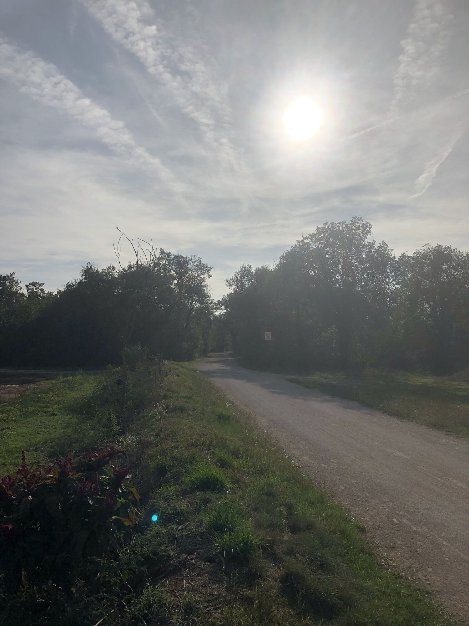
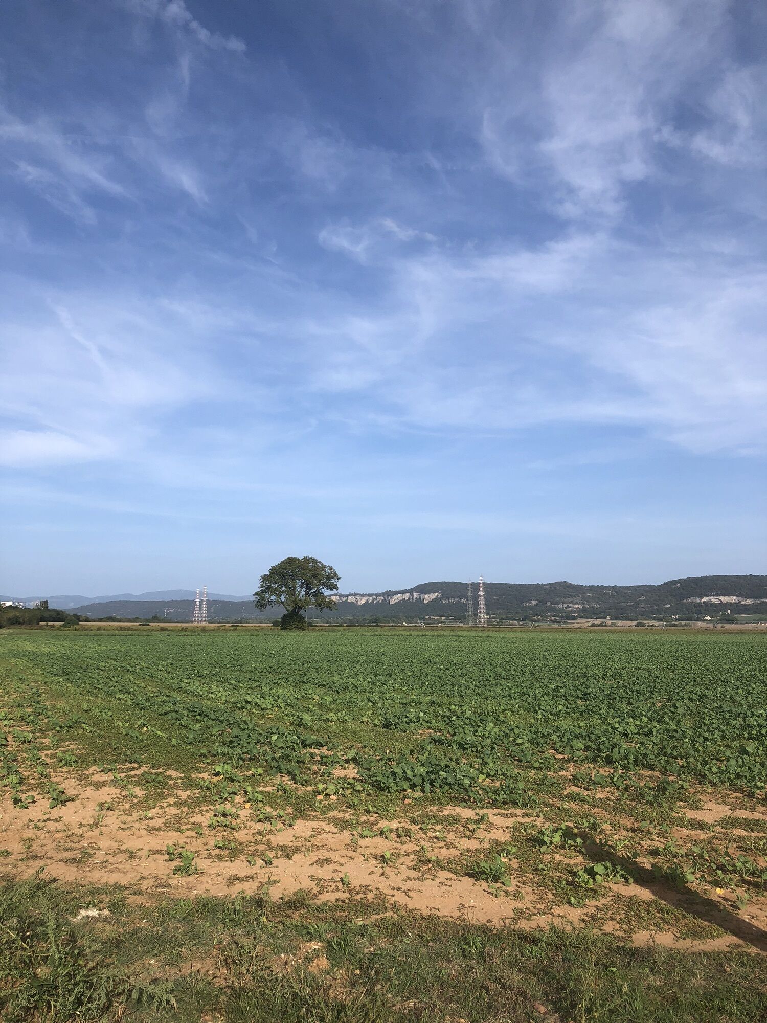
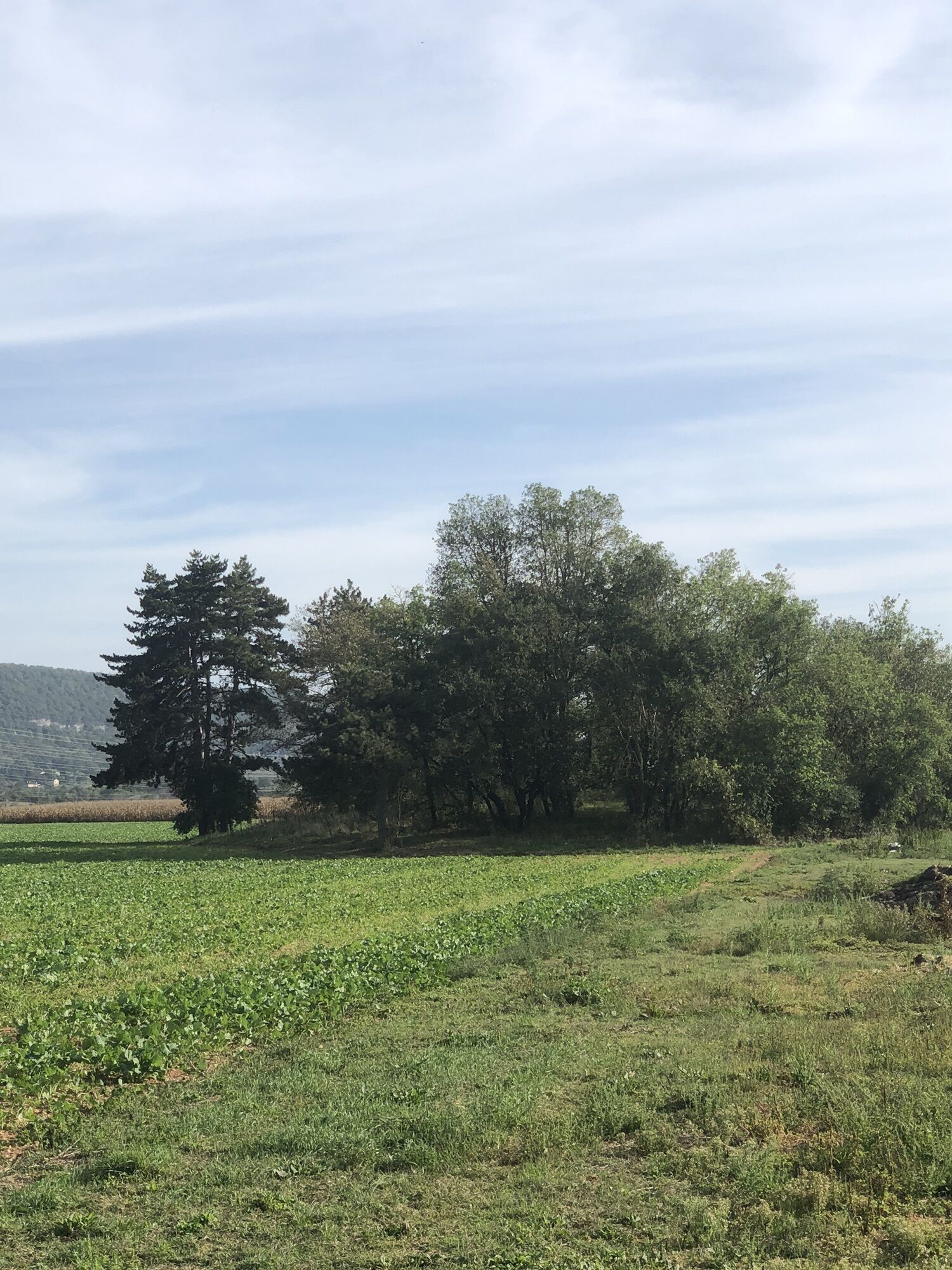
Route
Hières-sur-Amby
(222 m)
Village
1,3 km
Église Saint-Pierre
(232 m)
Place of worship
1,4 km
Saint-Étienne
(217 m)
Settlement
2,8 km
Sainte-Marie de Tortas
(217 m)
Settlement
12,9 km
Crémieu
(214 m)
Village
18,0 km
Saint-Hilaire - Gare
(267 m)
Settlement
25,0 km
Église Saint-Pierre
(232 m)
Place of worship
45,9 km
Route
Entre via Rhone et voie verte
light
Vozi bicikl
48,30
km
Moulin d'Avaux
(205 m)
Settlement
0,1 km
Snack pizzeria du Val d'Amby
(216 m)
Restaurant
1,2 km
Hières-sur-Amby
(222 m)
Village
1,3 km
Église Saint-Pierre
(232 m)
Place of worship
1,4 km
Hôtel restaurant Le Val d'Amby
(233 m)
Restaurant
1,5 km
Saint-Étienne
(217 m)
Settlement
2,8 km
Le Peillard
(197 m)
Corridor/terrain
9,0 km
Sainte-Marie de Tortas
(217 m)
Settlement
12,9 km
Crémieu
(214 m)
Village
18,0 km
Au Lemps
(269 m)
Corridor/terrain
23,2 km
Restaurant Le Bois Joli
(266 m)
Restaurant
24,9 km
Saint-Hilaire - Gare
(267 m)
Settlement
25,0 km
Au Lemps
(269 m)
Corridor/terrain
26,7 km
Crémieu
(214 m)
Village
31,3 km
Sainte-Marie de Tortas
(217 m)
Settlement
34,7 km
Le Peillard
(197 m)
Corridor/terrain
38,7 km
Saint-Étienne
(217 m)
Settlement
44,5 km
Hôtel restaurant Le Val d'Amby
(233 m)
Restaurant
45,9 km
Église Saint-Pierre
(232 m)
Place of worship
45,9 km
Hières-sur-Amby
(222 m)
Village
46,1 km
Snack pizzeria du Val d'Amby
(216 m)
Restaurant
46,9 km
Moulin d'Avaux
(205 m)
Settlement
48,2 km
No reviews yet
Popular tours in the neighbourhood
-
Plateau de Larina
lightPlaninarenje 19,5 km -
Chamagnieu, Satolas-et-Bonce, Jameyzieu, Chozeau et Chamagnieu
lightPješačenje 10,1 km -
La Balme-les-Grottes - Lotissement des Chaumes - Église Saint-Pierre - Jons
lightVozi bicikl 40,2 km -
Les Cinq Chemins Nord - Église Saint-Martin - Chapelle Saint-Joseph - Église Saint-Pierre
lightMountainbike 26,5 km -
Saint-Baudille-de-la-Tour - Église Saint-Baudille - Surbaix - Cascade de la Roche
mediumPješačenje 13,2 km -
Cascade de la Roche - Châpieu - Enieu - Boulieu
mediumPješačenje 12,4 km -
Chavagneux - Jameyzieu - Tignieu - Église Saint-Pierre
mediumBicikl s šljunkom 63,0 km -
Saint-Romain-de-Jalionas - Sainte-Marie de Tortas - Saint-Julien - Vasseras
mediumBicikl s šljunkom 31,2 km -
Charnoz-sur-Ain - Buchin - Rignieu-le-Désert - Monétroi
mediumCestovni bicikl 56,8 km -
Bouvesse - Église Saint-Jean-Baptiste - Église Saint-Symphorien
mediumBicikl s šljunkom 53,7 km
bergfex Tours

Over 550.000 tour suggestions, detailed maps and an intuitive route planner make the app a must-have for all nature enthusiasts.

Ne propustite ponude i inspiraciju za vaš sljedeći odmor
Subscribe to the newsletter
Error
An error has occurred. Please try again.
Thank you for your registration
Your e-mail address has been added to the mailing list.
Tours throughout Europe
Austrija
Švicarska
Njemačka
Italija
Slovenija
Francuska
Nizozemska
Belgija
Poljska
Lihtenštajn
Češka
Slovačka
Španija
Hrvatska
Bosna i Hercegovina
Luksemburg
Andora
Portugal
Island
Ujedinjeno Kraljevstvo
Irska
Grčka
Albanija
Sjeverna Makedonija
Malta
Norveška
Crna Gora
Moldova
Kosovo
Mađarska
San Marino
Rumunjska
Estonija
Latvija
Bjelorusija
Cipar
Litva
Srbija
Bugarska
Monako
Danska
Švedska
Finska