© OTIMDL

- Kratak opis
-
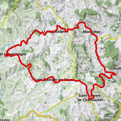
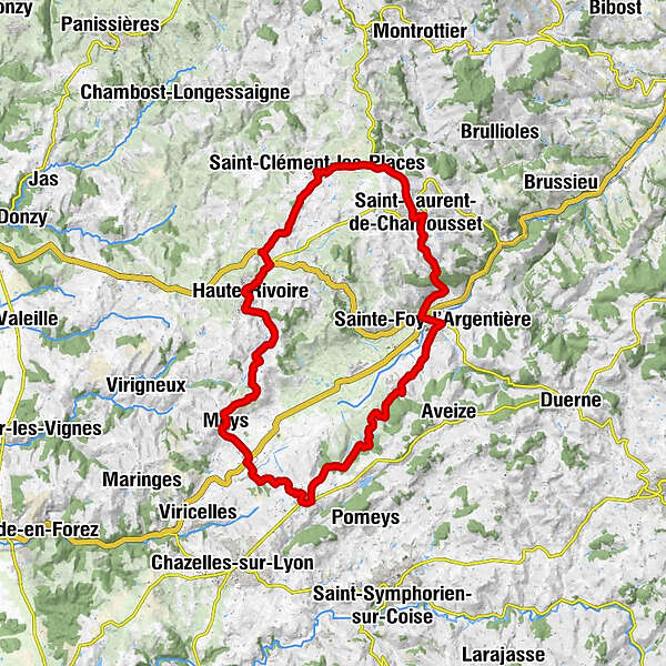
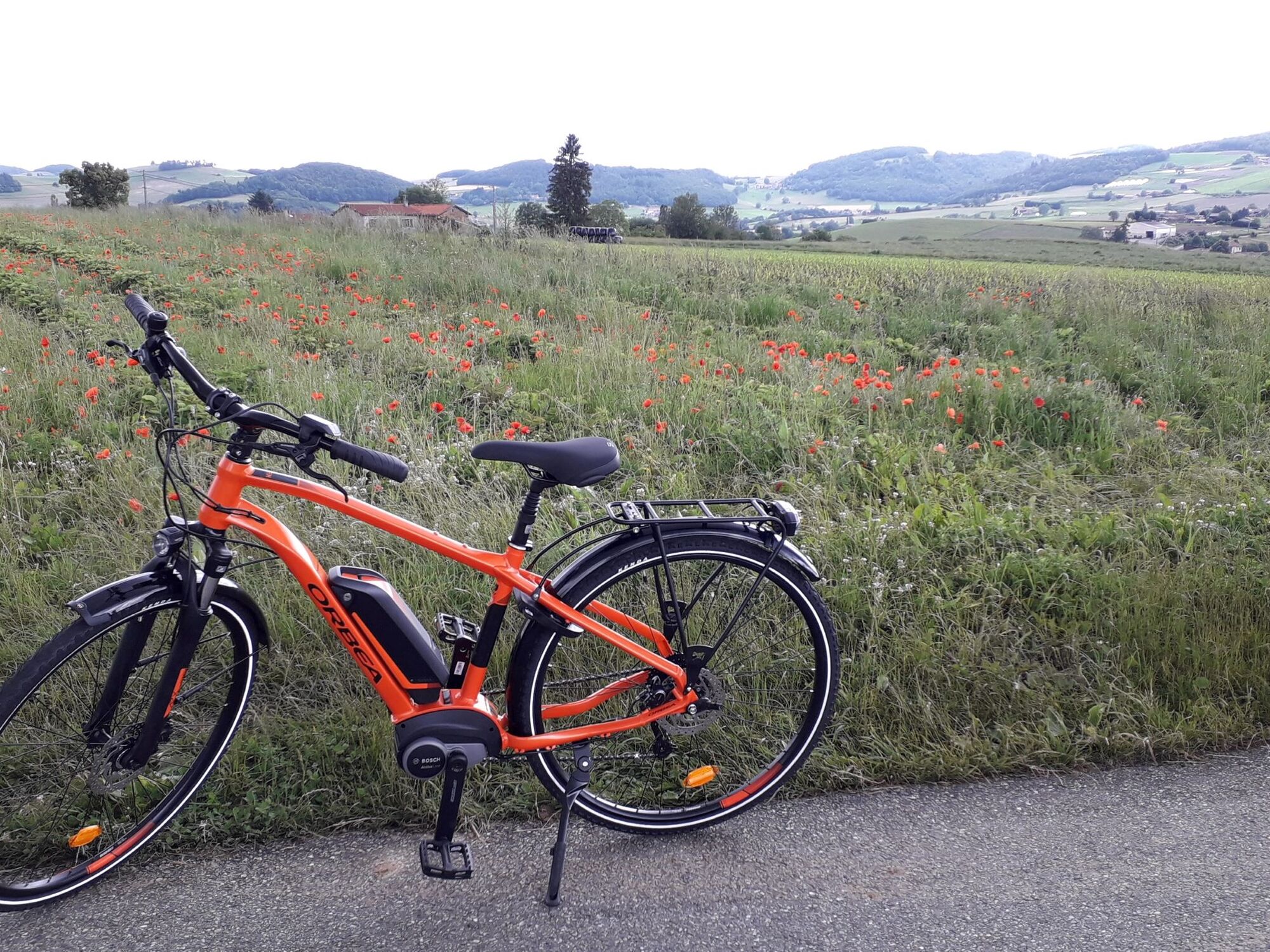
A circuit that brings together pretty viewpoints and small quiet country roads: panorama facing the Château de Chamousset, the Thoranche valley after Haute-Rivoire...
- Teškoća
-
srednje
- Vrednovanje
-
- Wegverlauf
-
Sainte-Foy-l'Argentière0,2 kmÉglise Sainte-Foy0,3 kmIl était une Foy0,6 kmCamard0,6 kmLa Salvatière4,0 kmRestaurant Jean François Bar5,0 kmSaint-Laurent-de-Chamousset5,0 kmLes Roches5,3 kmCroix Sopha5,4 kmBellevé6,0 kmLaprat8,4 kmSaint-Clément-les-Places9,3 kmAuberge de St Clément9,5 kmPinquoi10,6 kmHauteville12,1 kmLa Bourrie14,5 kmLa Taverne de l'Ermite15,0 kmHaute-Rivoire15,0 kmÉglise Sainte-Marguerite15,0 kmLa Brosse15,6 kmLe Bancel16,7 kmLe Bravarel17,2 kmLe Perret18,3 kmLe Cheval Mort19,1 kmLe Haut20,5 kmLa Garde20,6 kmÉglise Saint-Pierre21,2 kmMeys21,2 kmLa Buissonne21,8 kmLa Gagère22,3 kmCôte Roman24,1 kmRestaurant O'BAR B'ELLES26,1 kmGrézieu-le-Marché26,3 kmLes Eymains26,7 kmLes Brosses28,0 kmLe Reynard30,0 kmLes Esparcieux30,5 kmLa Feuillée33,0 kmLes Ormes33,8 kmCité de la Tuilerie34,3 kmLotissement Les Souches34,5 kmSainte-Foy-l'Argentière34,7 km
- Beste Jahreszeit
-
sijveljožutrasvilipsrpkolrujlisstupro
- Höchster Punkt
- 670 m
- Zielpunkt
-
Saint-Foy-l'Argentière Town Hall
- Höhenprofil
-
 © outdooractive.com
-
-
AutorDie Tour Monts du Lyonnais - The Argentière circuit - Loop 2.4 wird von outdooractive.com bereitgestellt.
GPS Downloads


Opće informacije
Flora
Aussichtsreich
Weitere Touren in den Regionen
-
Rhône
43
-
Monts du Lyonnais
19