


Podaci o ruti
12,55km
1.161
- 2.449m
1.090hm
1.293hm
03:08h
- Kratak opis
-
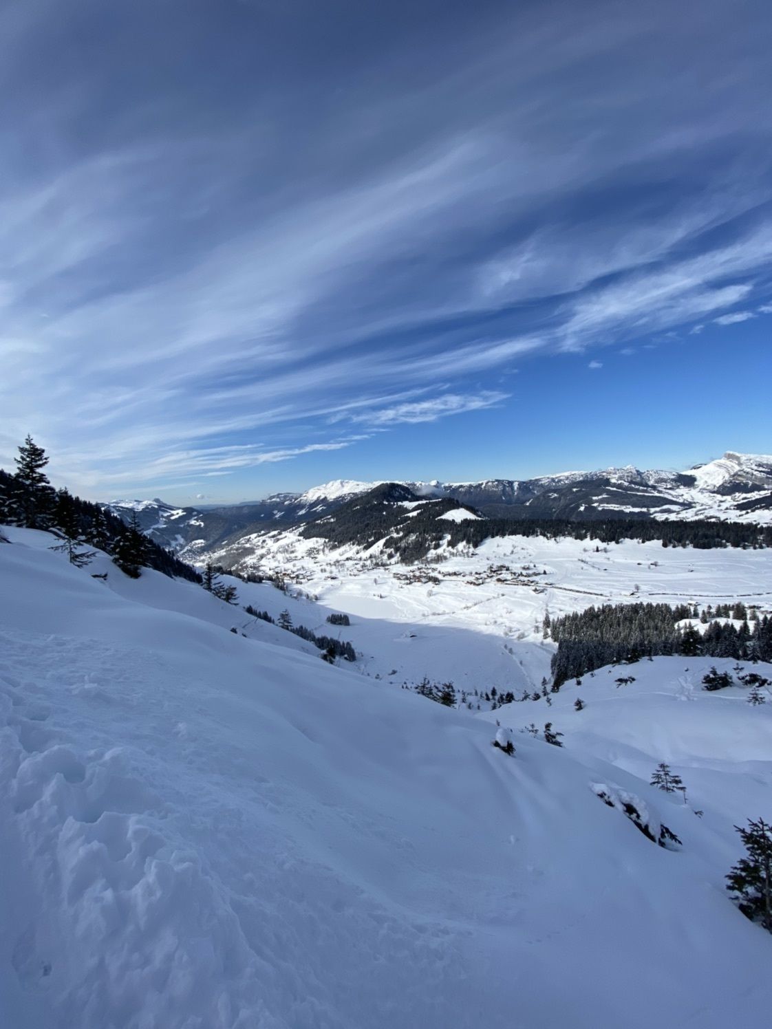
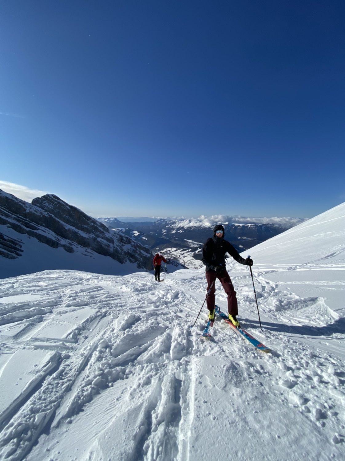
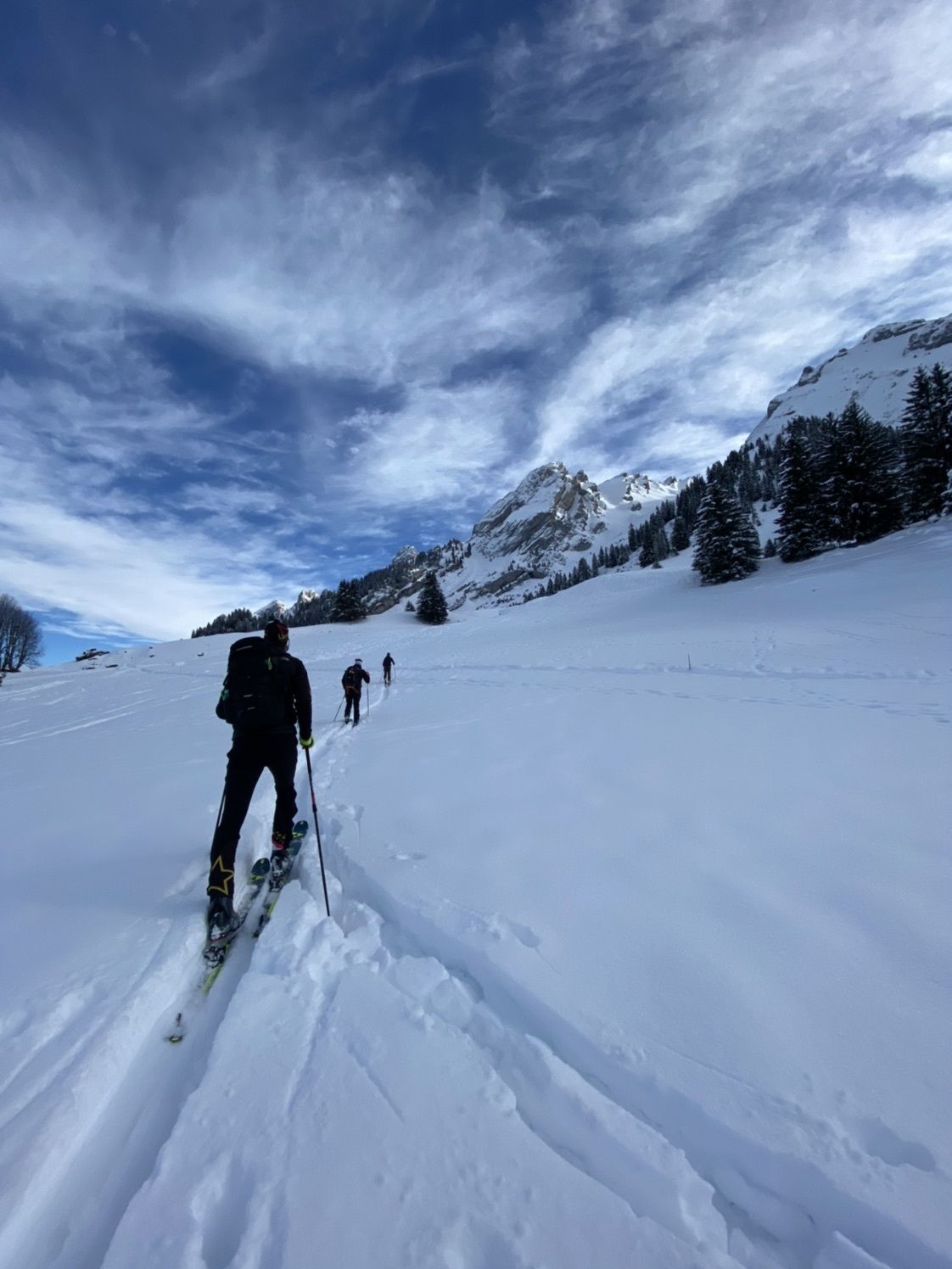
Track with really nice view and north side of mountains, so enought snow
- Teškoća
-
srednje
- Vrednovanje
-
- Wegverlauf
-
La Cluiseraz0,5 kmTête Pelouse (2.537 m)6,1 kmLes Chenons10,7 kmPlan du Fernuy12,1 km
- Beste Jahreszeit
-
kolrujlisstuprosijveljožutrasvilipsrp
- Höchster Punkt
- 2.449 m

GPS Downloads


Weitere Touren in den Regionen
-
Haute-Savoie
22
-
Vallées de Thônes
10
-
La Giettaz
7