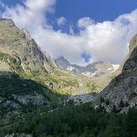
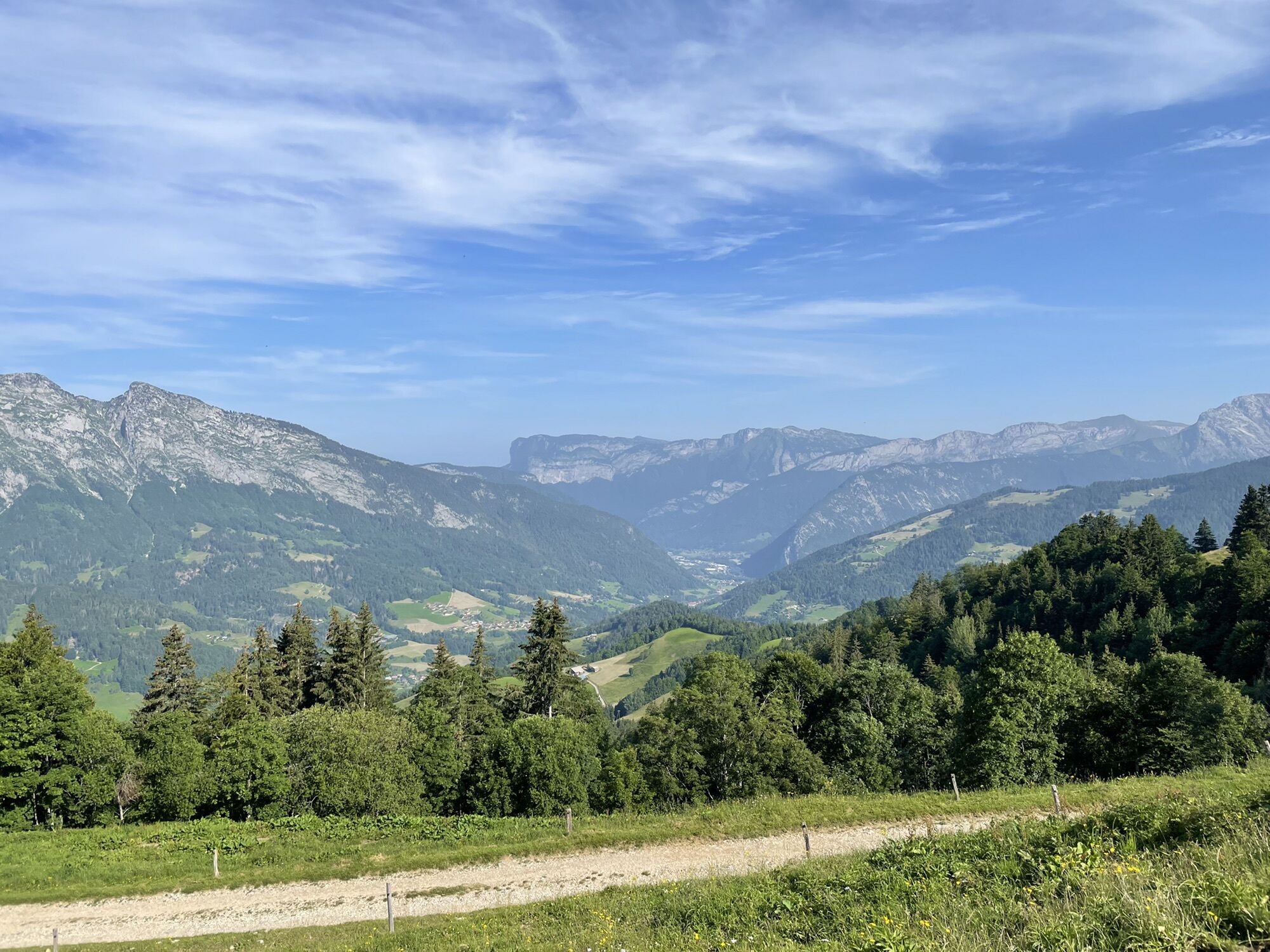
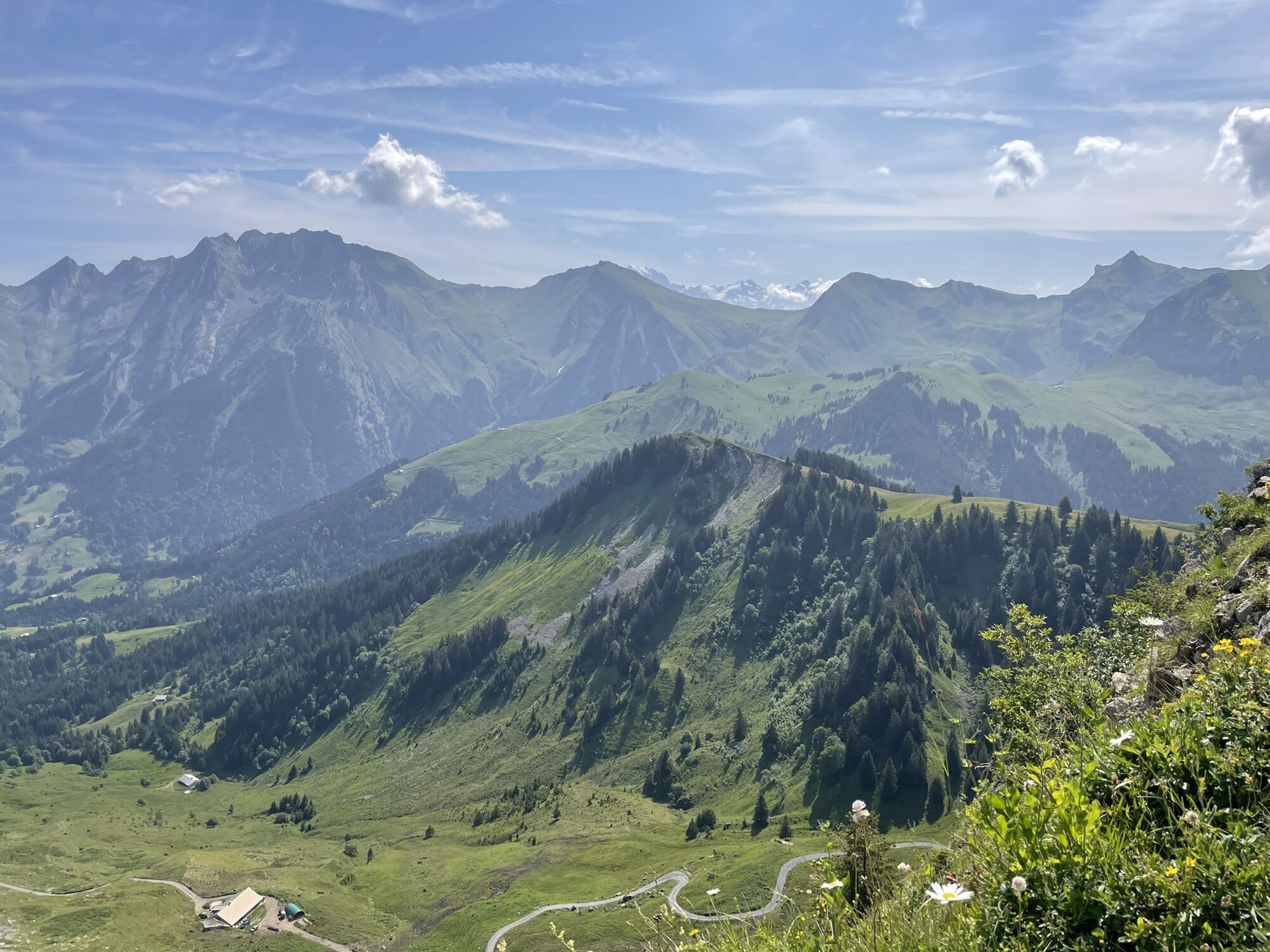
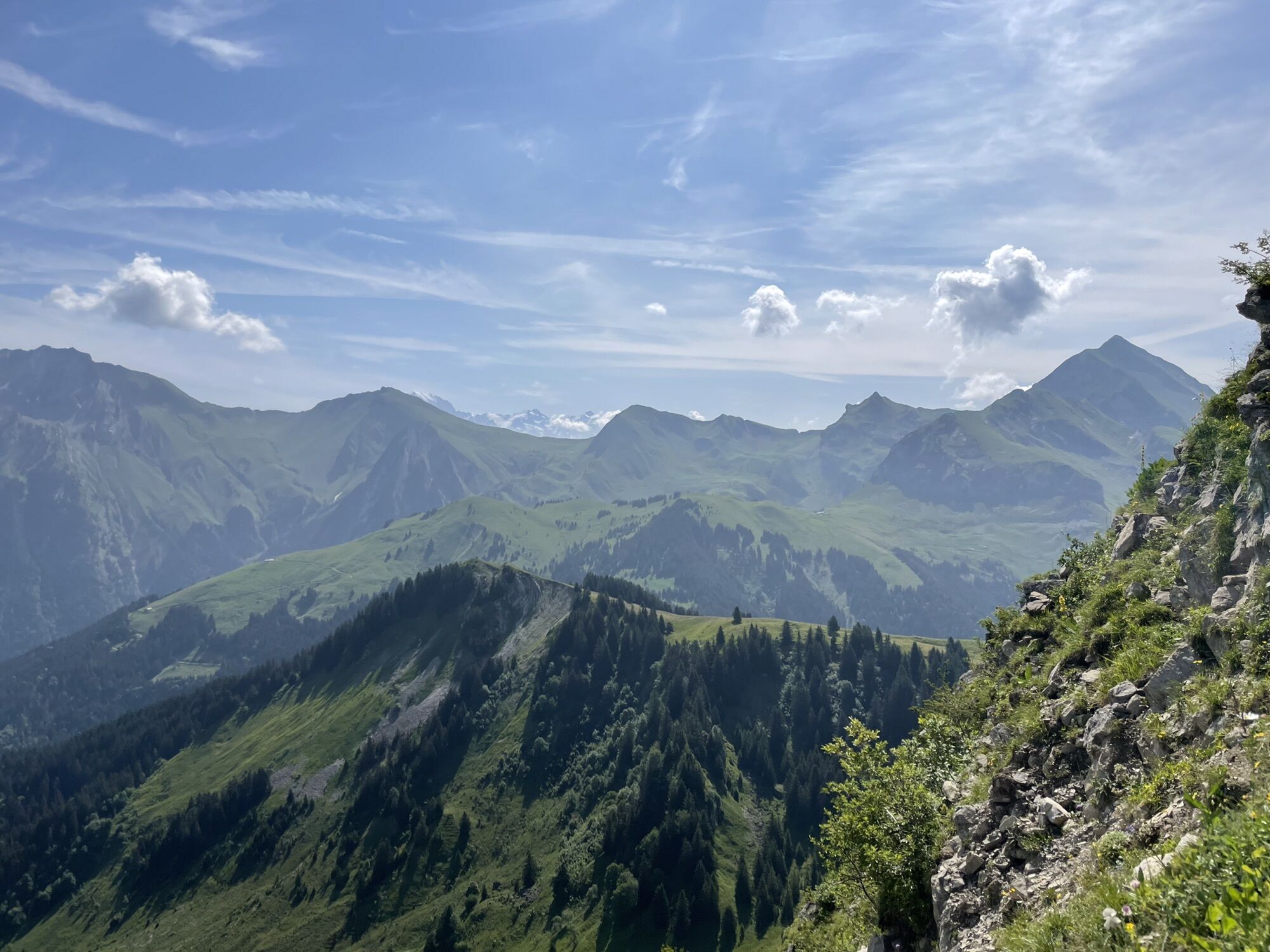
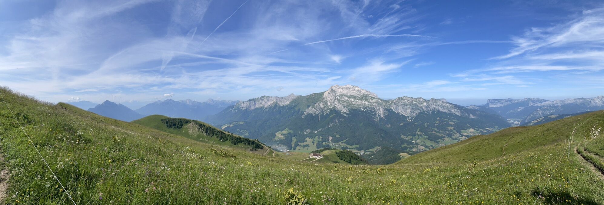
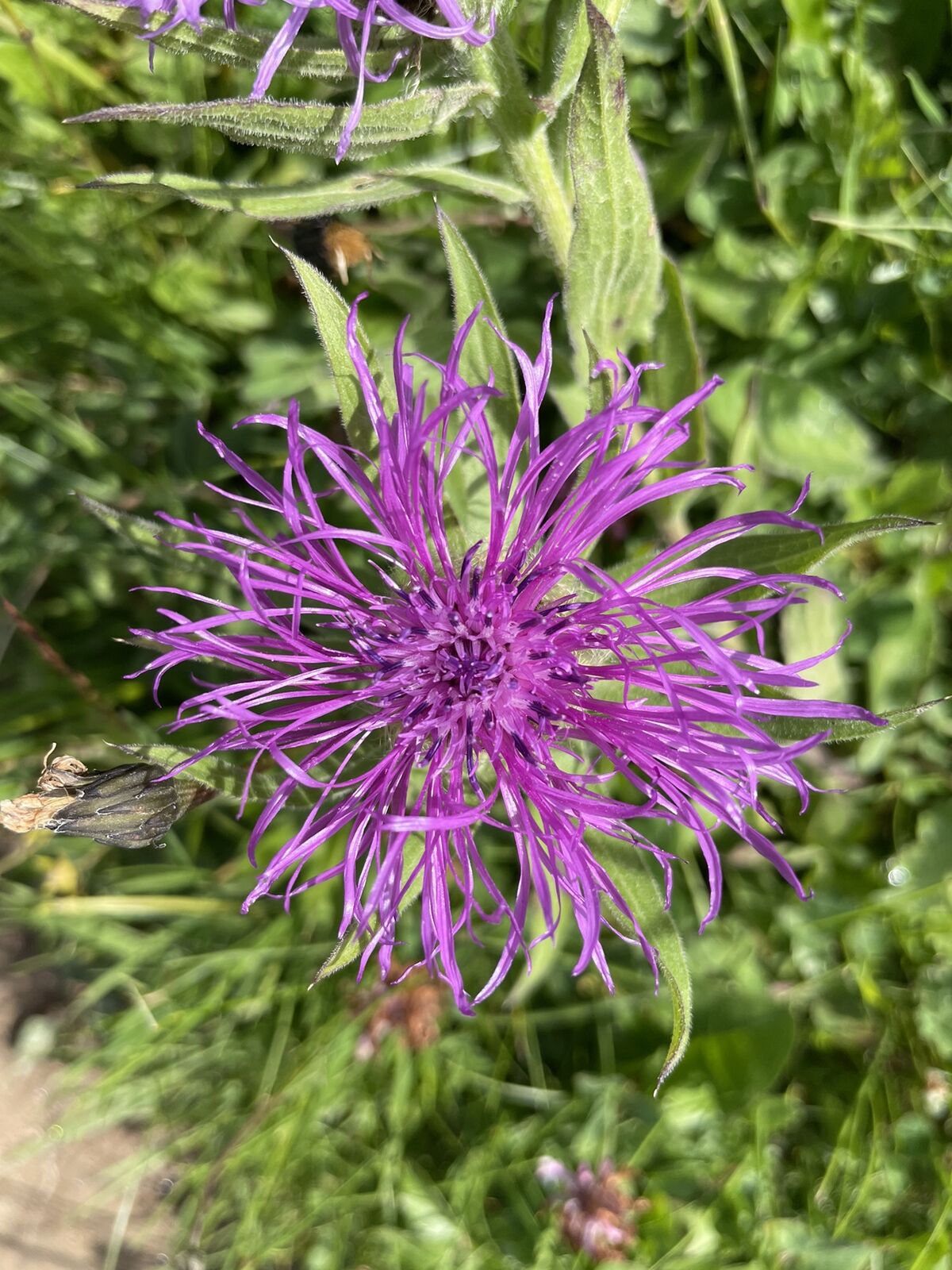
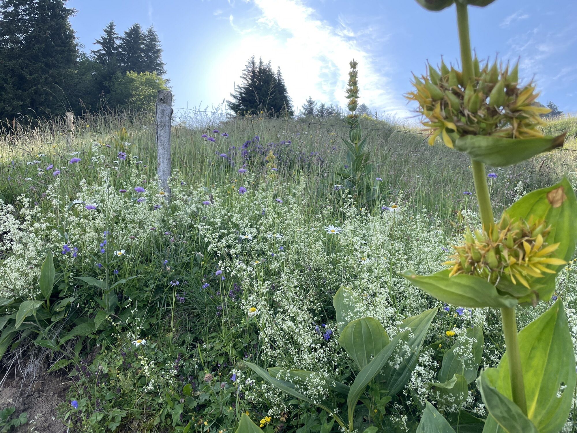
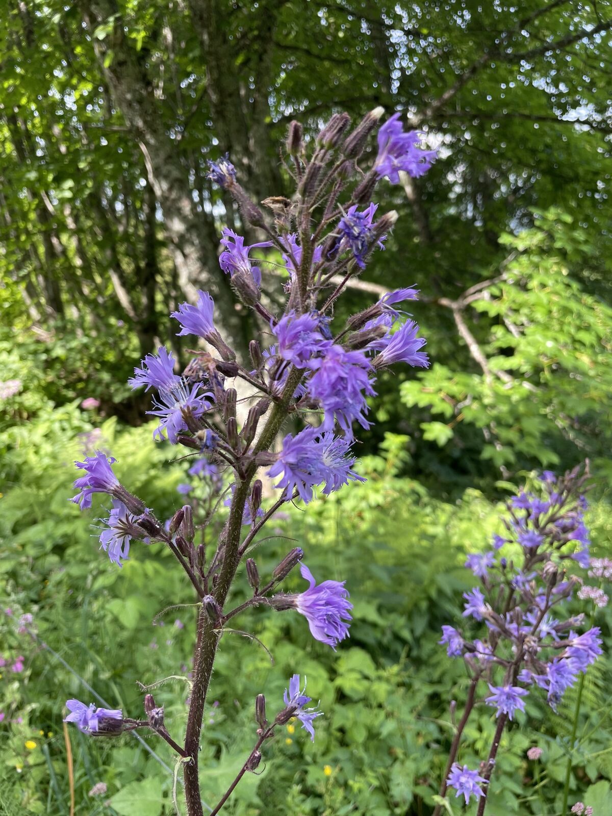
La montagne de Sulens
light
Navigate
Navigate
Get this tour on your mobile
La montagne de Sulens
light
Pješačenje
8,10
km
Scan the QR code and start navigation in the bergfex app

Hiking & Tracking


Distance
8,10
km
Duration
02:39
h
Ascent
533
m
Sea level
1.306 -
1.838
m
Track download
La montagne de Sulens
light
Pješačenje
8,10
km


Route
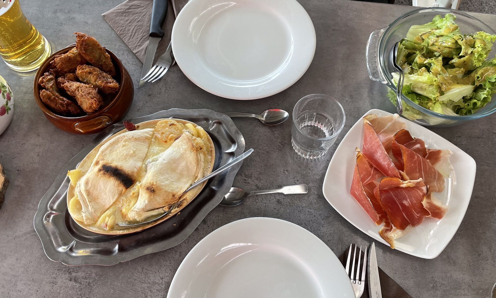
Auberge de Plan Bois
(1.295 m)
Restaurant
0,0 km
Montagne de Sulens
(1.839 m)
Summit
3,9 km
Auberge de Plan Bois
(1.295 m)
Restaurant
8,0 km
Route
Auberge de Plan Bois
(1.295 m)
Restaurant
0,0 km
Montagne de Sulens
(1.839 m)
Summit
3,9 km
Auberge de Plan Bois
(1.295 m)
Restaurant
8,0 km
Valuations
5
(1)
4
(0)
3
(0)
2
(0)
1
(0)
Popular tours in the neighbourhood
-
4,3
Rundwanderung ab Col de la Forclaz
lightPješačenje 10,9 km -
Abwechslungsreiche Rundtour
mediumPješačenje 12,5 km -
4,7
La Tournette (2351m), Massif des Aravis, Frankreich
mediumTrailrunning 12,7 km -
1,0
Rondje Lathuille
lightPješačenje 6,06 km -
5,0
Refuge du Pré Verel - La Tournette - Pointe de la Bajulaz - Montmin
heavyPješačenje 13,5 km -
5,0
Albertville - Ugine - Église Saint-Bernard
mediumBicikl s šljunkom 92,2 km -
5,0
Annecy - l'Oasis Auberge du Bessard - Ugine - Albertville
Vozi bicikl 51,3 km -
Annecy-le-Vieux - Annecy - Ugine - Albertville
Vozi bicikl 53,1 km -
La Clusaz - Chapelle des Aravis - Chapelle Notre-Dame-de-Haute-Lumière - Beaufort
heavyCestovni bicikl 52,2 km -
Col de la Forclaz - Pointe de la Rochette - Le Collet - Chalet de l'Aulp de Montmin
mediumPješačenje 9,52 km
bergfex Tours

Over 550.000 tour suggestions, detailed maps and an intuitive route planner make the app a must-have for all nature enthusiasts.

Ne propustite ponude i inspiraciju za vaš sljedeći odmor
Subscribe to the newsletter
Error
An error has occurred. Please try again.
Thank you for your registration
Your e-mail address has been added to the mailing list.
Tours throughout Europe
Austrija
Švicarska
Njemačka
Italija
Slovenija
Francuska
Nizozemska
Belgija
Poljska
Lihtenštajn
Češka
Slovačka
Španija
Hrvatska
Bosna i Hercegovina
Luksemburg
Andora
Portugal
Island
Ujedinjeno Kraljevstvo
Irska
Grčka
Albanija
Sjeverna Makedonija
Malta
Norveška
Crna Gora
Moldova
Kosovo
Mađarska
San Marino
Rumunjska
Estonija
Latvija
Bjelorusija
Cipar
Litva
Srbija
Bugarska
Monako
Danska
Švedska
Finska