


Level of difficulty: T2


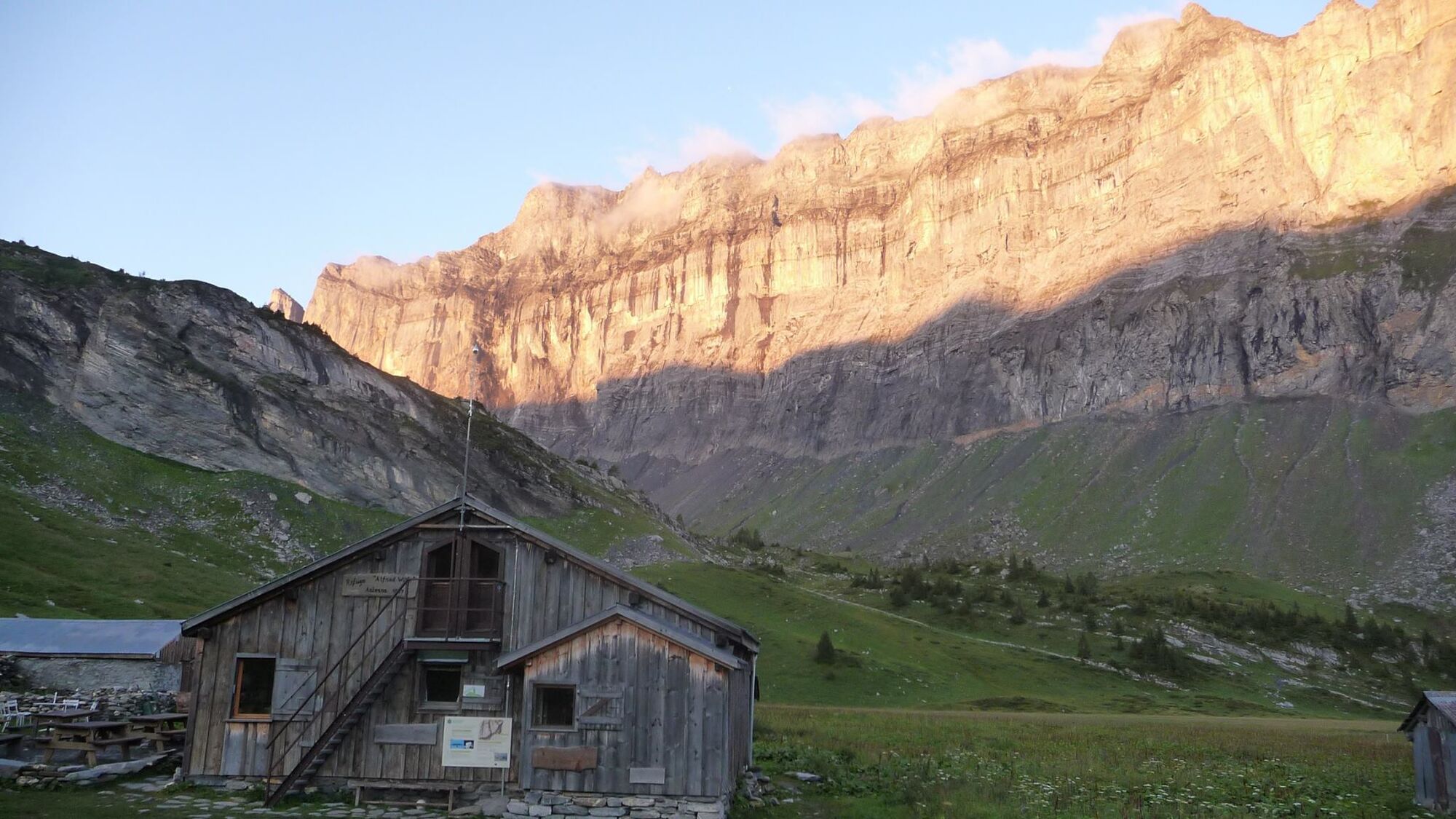
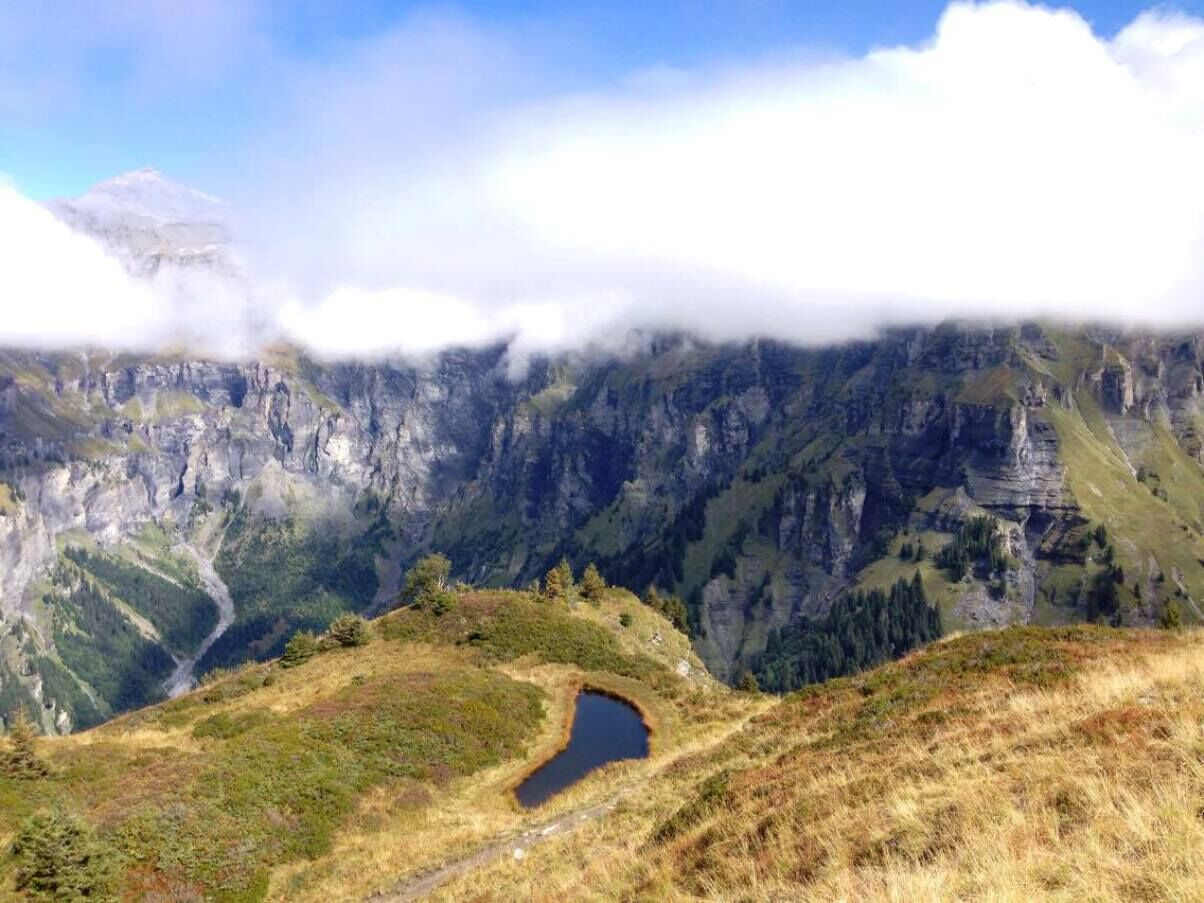
The departure point is Lignon car park, above the Rouget waterfall (elevation 1,180 metres). You'll pass the very beautiful waterfalls of Sauffaz and Pleureuse, then continue left towards the Collet d'Anterne. The path takes you gently up to the Anterne refuge (1,810 metres).
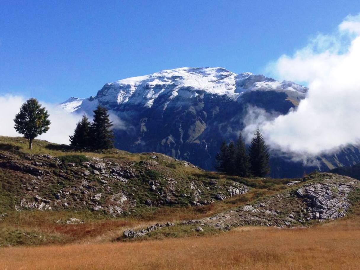
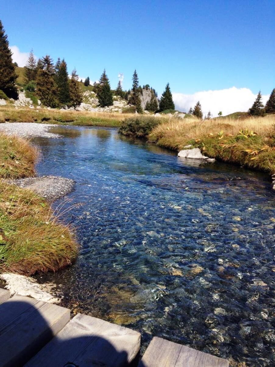
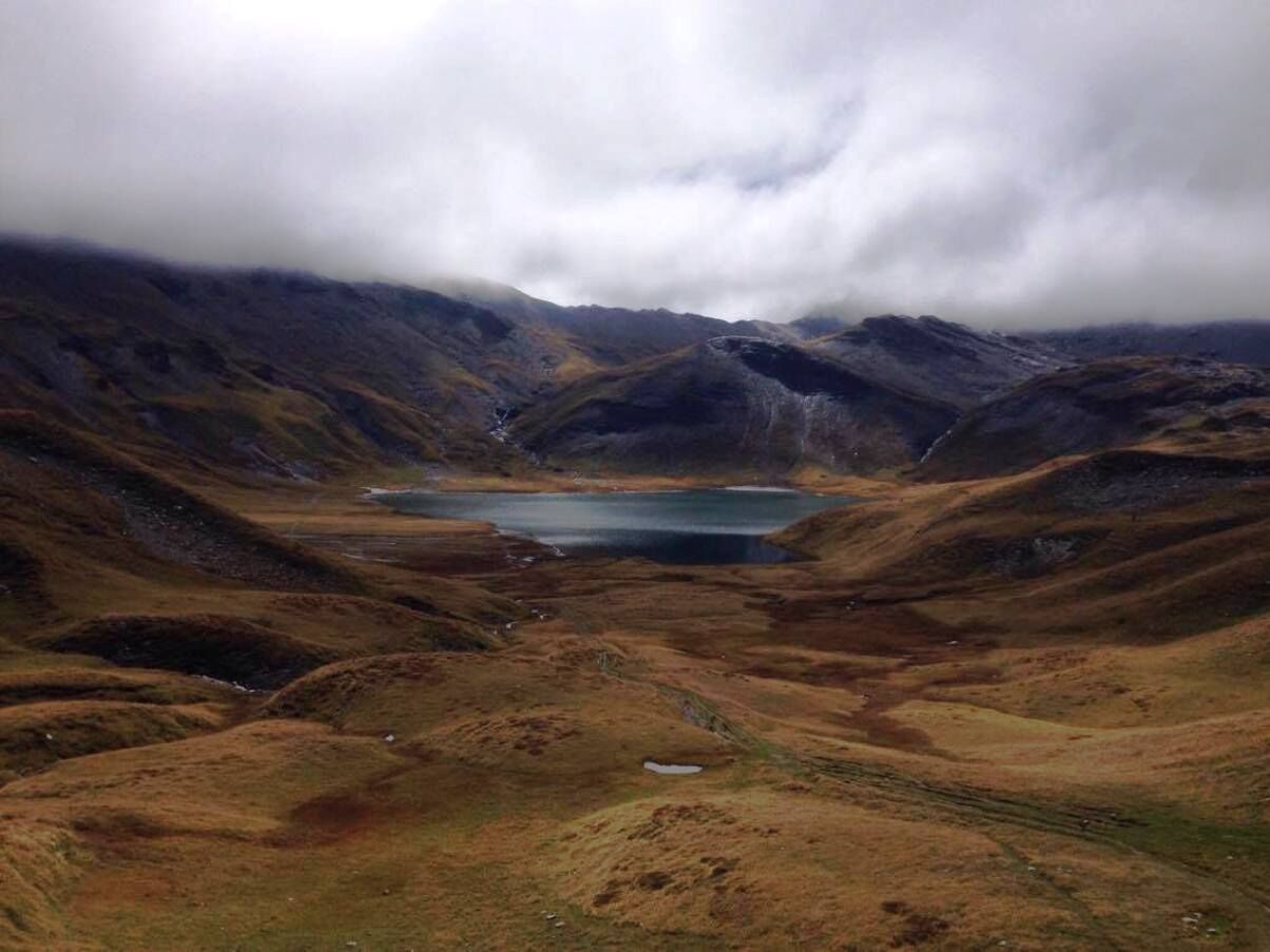
From the refuge, continue south. The path is quite steep to start with. It takes you to Anterne lake where you can admire the Fiz mountains. To return, take the path on your right as far as the "little pass" of Anterne, from where you'll enjoy a stunning view of the Cirque des Fonts. From the "little pass", the path down to the chalets of Les Fonts is fabulous. Then take the vehicle track for 2 km down to Salvagny. Leave the track, turning left onto a signposted path which leads to the Oua bridge, then the Fardelay chalets. Then take the path that cuts across the hairpin bends in the road to join the Rouget waterfalls. Path not practicable for pushchairs.
Yes
In case of emergency, dial 112
Consider carpooling
Prefer public transport for your trips: summer rando'bus.
T2
Webcams of the tour
Popular tours in the neighbourhood
-
4,6
La Jonction
heavyPuna brzina 13,7 km -
4,0
Chamonix-Mont-Blanc, Auvergne-Rhône-Alpes/France // B/C
mediumVia ferrata 2,59 km -
Via Ferrata des Evettes / Klettersteig Chamonix
mediumVia ferrata 2,59 km -
3,5
Lac d'Emosson - Gorge de la Veudale - Col de la Terrasse - Lac du Vieux Emosson zurück nach Lac d'Emosson
mediumPješačenje 14,3 km -
Geological hike to the Vieux-Emosson reservoir
heavyPješačenje 12,4 km -
Aiguille du Criou
heavyPješačenje 16,7 km -
5,0
2nd half of the cross- completed
mediumTrailrunning 14,3 km -
5,0
Goldtoni - Alpenbogen A060 Refuge Anterne-Chamonix
mediumDaljinska planinarska staza 19,6 km -
Walking itinerary: Refuge and Fonts mountain pasture
lightPješačenje 7,66 km -
Le Tour/Balme 9-Miler
mediumPješačenje 14,2 km
bergfex Tours


Ne propustite ponude i inspiraciju za vaš sljedeći odmor
Your e-mail address has been added to the mailing list.