© Baptiste Thomas

- Kratak opis
-
Dreaming of reaching 3,000 m and never dared to? The Tabor awaits you! You need a good level of fitness for this route that, with no technical complications, leads you into the magical high-altitude world of majestic mountain landscapes.
- Teškoća
-
teška
- Vrednovanje
-
- Wegverlauf
-
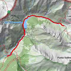
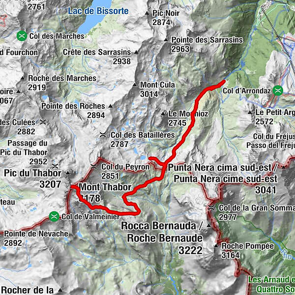
Le LavoirRefuge du Mont Thabor5,3 kmLes Chances du Peyron9,6 kmMont Thabor (3.178 m)12,5 kmLes Chances du Peyron15,4 kmLe Lavoir23,6 km
- Beste Jahreszeit
-
sijveljožutrasvilipsrpkolrujlisstupro
- Höchster Punkt
- 3.171 m
- Zielpunkt
-
Lavoir car park
- Höhenprofil
-
 © outdooractive.com

- Autor
-
Die Tour 94 - Mount Thabor and its Refuge wird von outdooractive.com bereitgestellt.
GPS Downloads


Opće informacije
Heilklima
Flora
Fauna
Aussichtsreich
Weitere Touren in den Regionen
-
Maurienne-Galibier
581
-
Bardonecchia
174