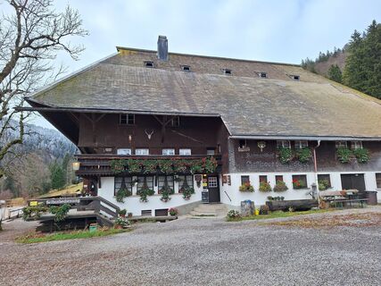
Schönau im Schwarzwald - Campingstüble - Katholische Kapelle St. Wendelin - Berggasthof & Pension zur Todtnauer Hütte
heavy
Navigate
Navigate
Get this tour on your mobile
Schönau im Schwarzwald - Campingstüble - Katholische Kapelle St. Wendelin - Berggasthof & Pension zur Todtnauer Hütte
heavy
Mountainbike
70,47
km
Scan the QR code and start navigation in the bergfex app

Hiking & Tracking


Distance
70,47
km
Duration
06:33
h
Ascent
1.243
m
Sea level
449 -
1.383
m
Track download
Schönau im Schwarzwald - Campingstüble - Katholische Kapelle St. Wendelin - Berggasthof & Pension zur Todtnauer Hütte
heavy
Mountainbike
70,47
km


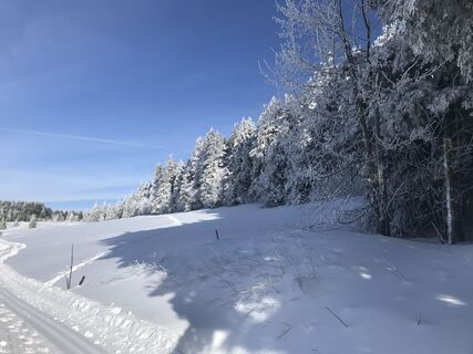
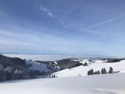
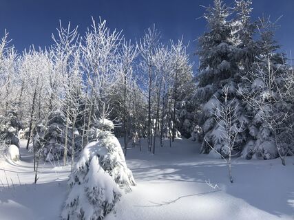
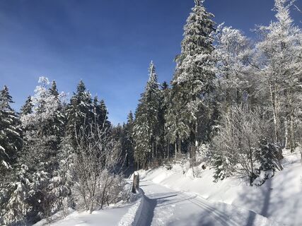
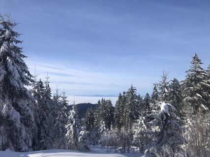
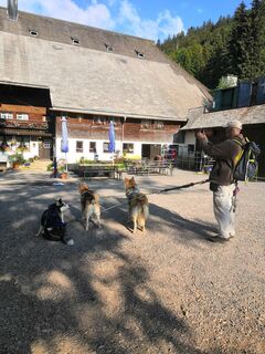
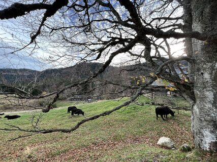
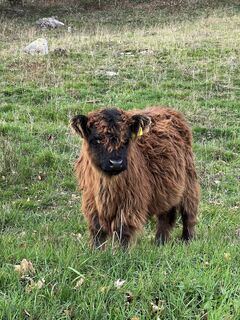
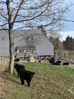
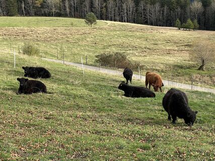
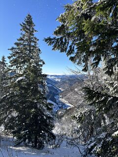
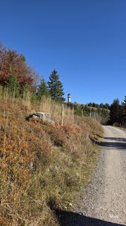
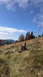
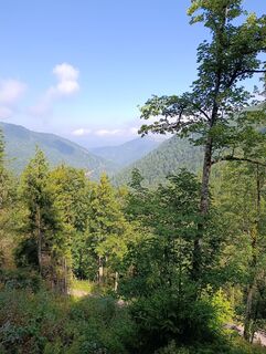
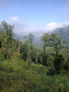
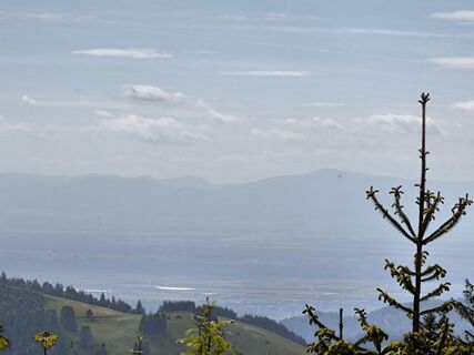
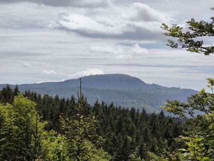
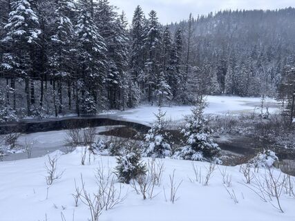
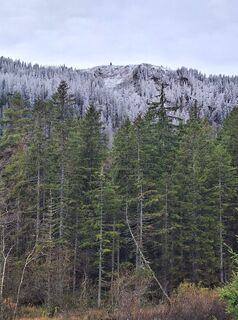
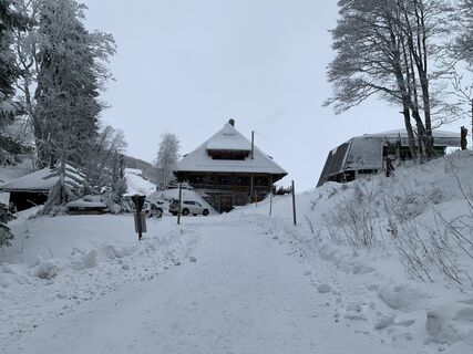
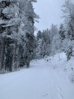
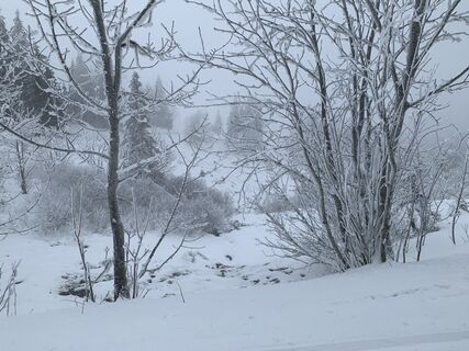
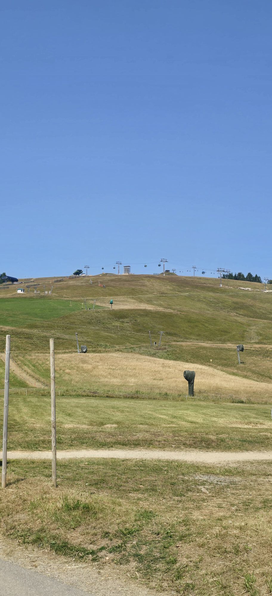
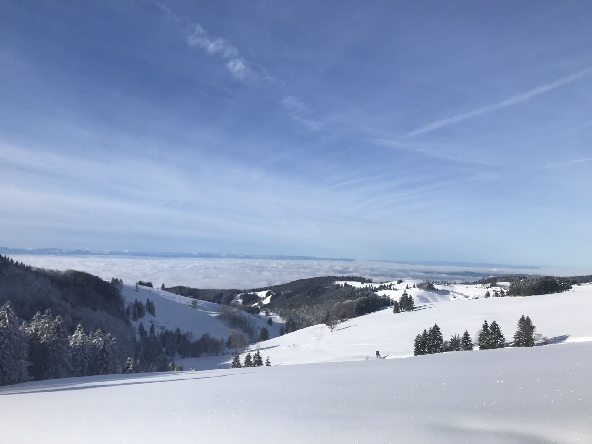
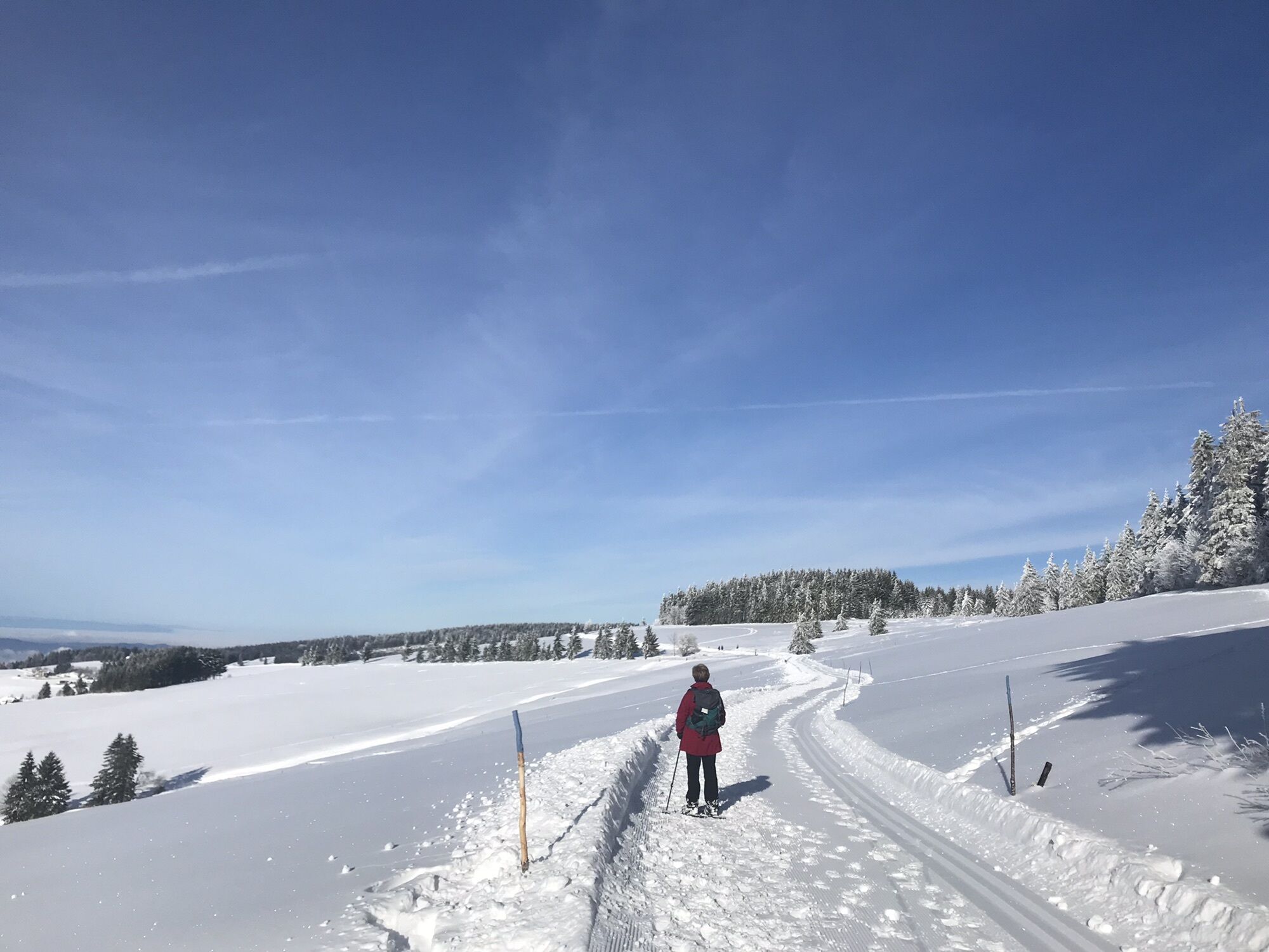
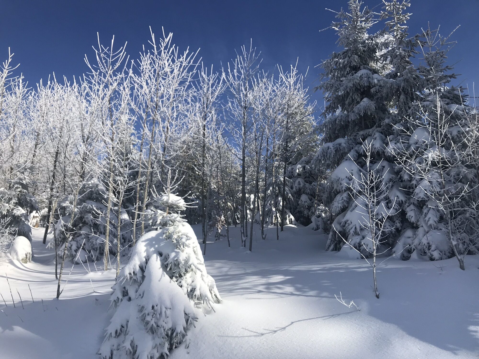
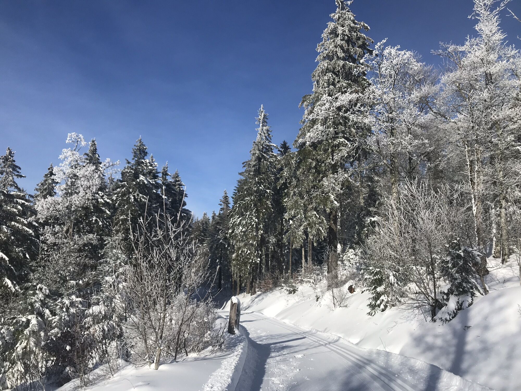
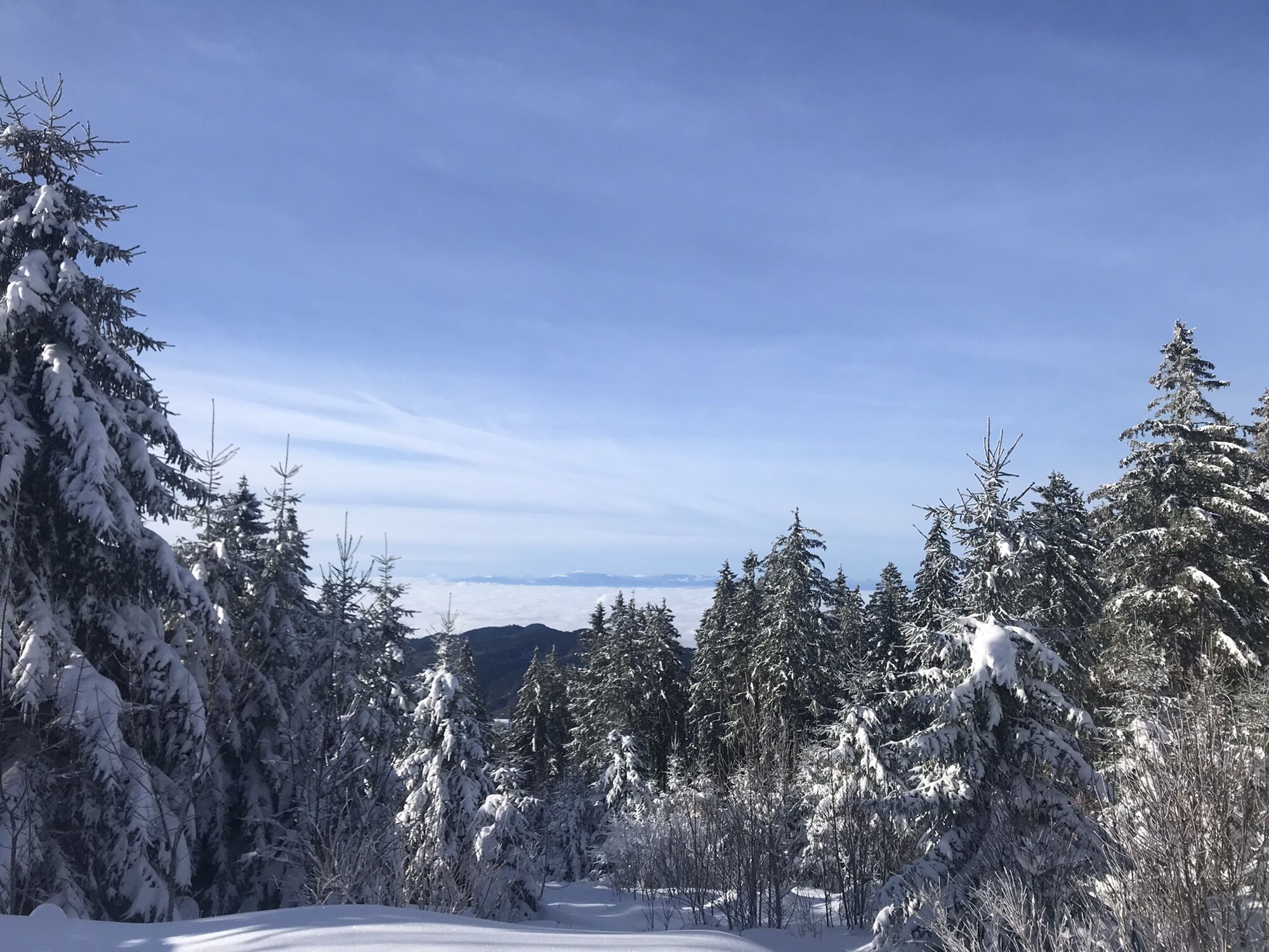
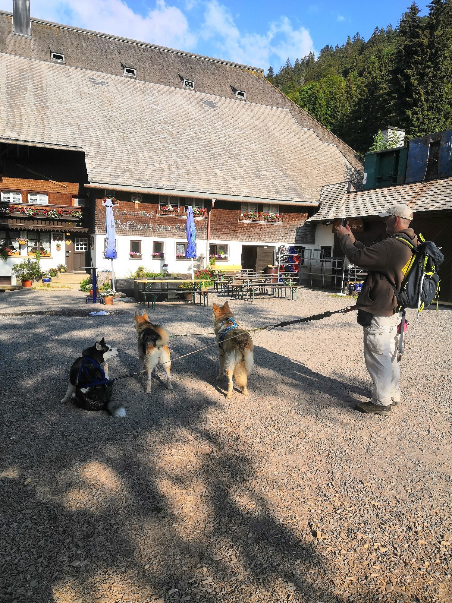
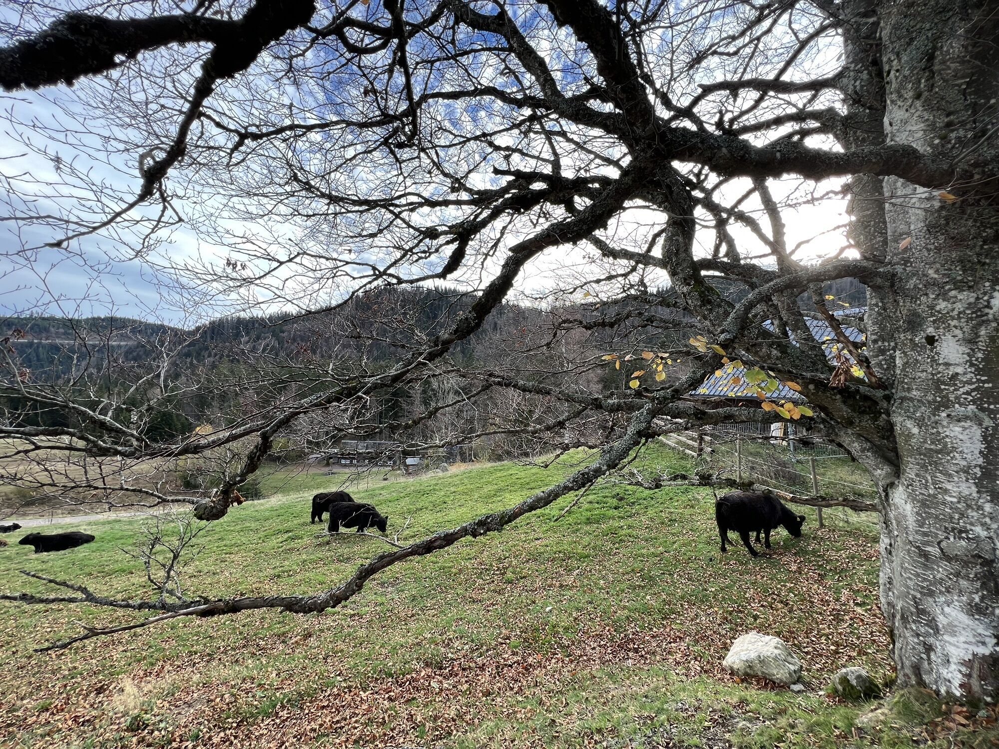
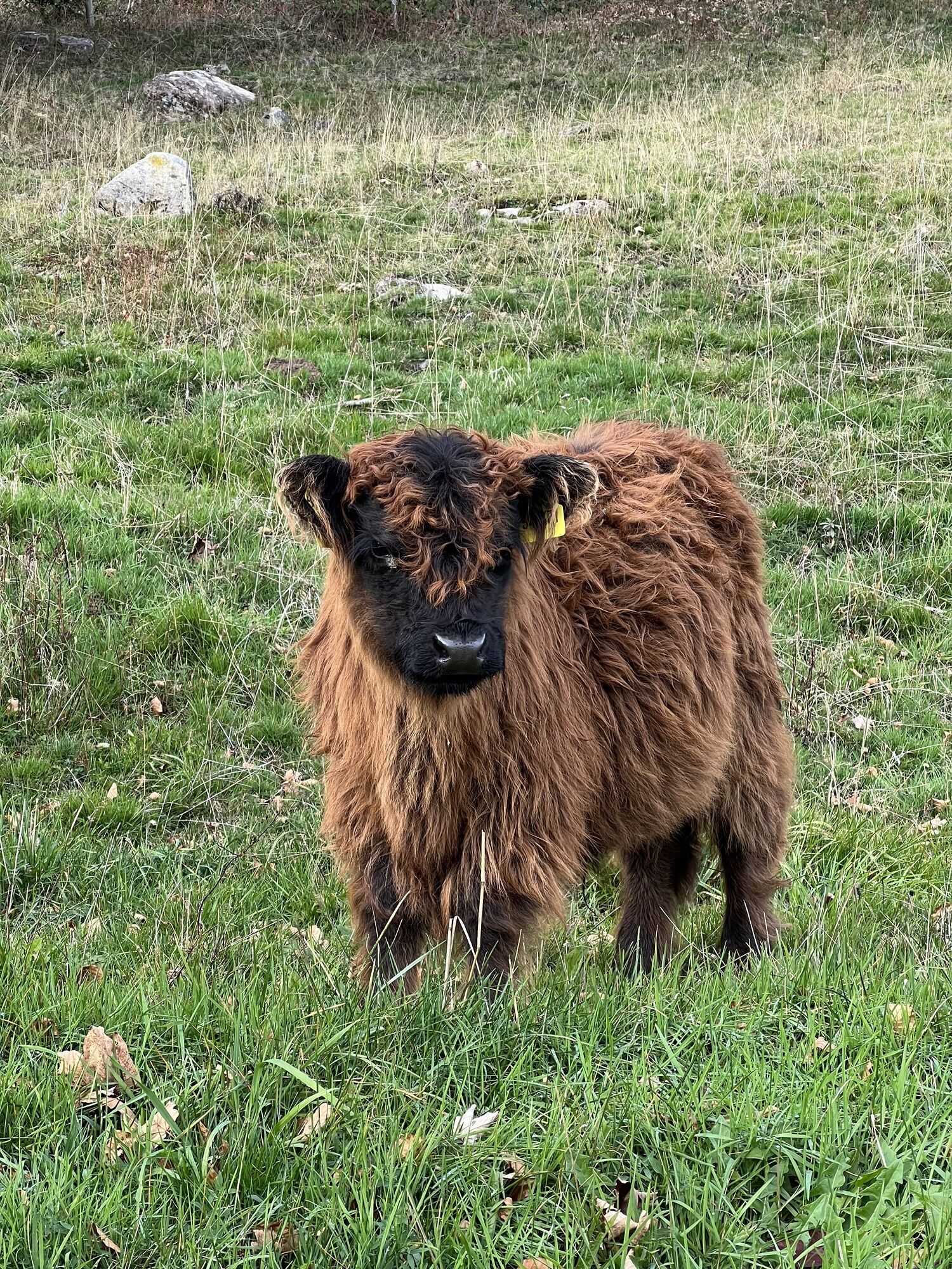
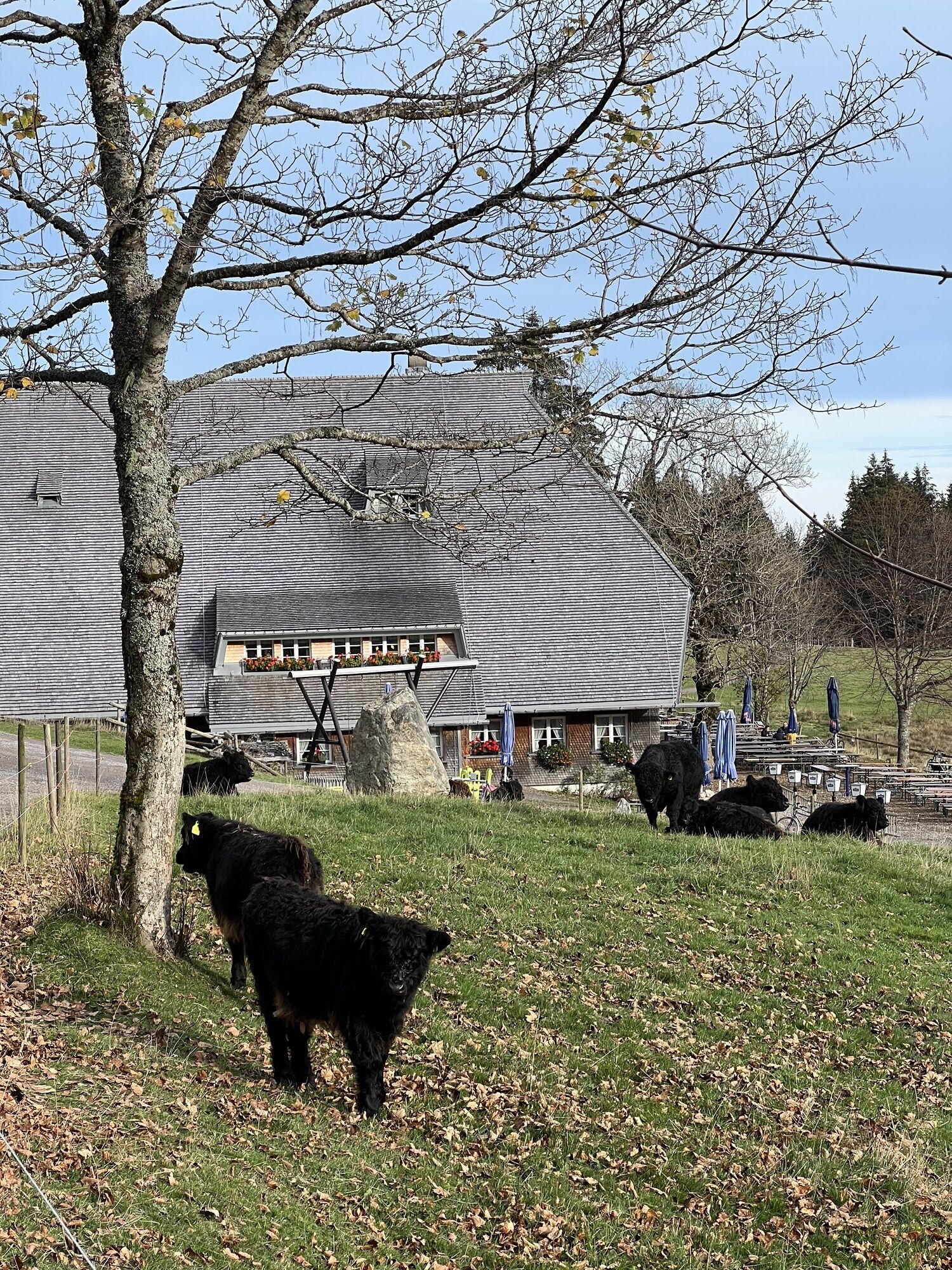
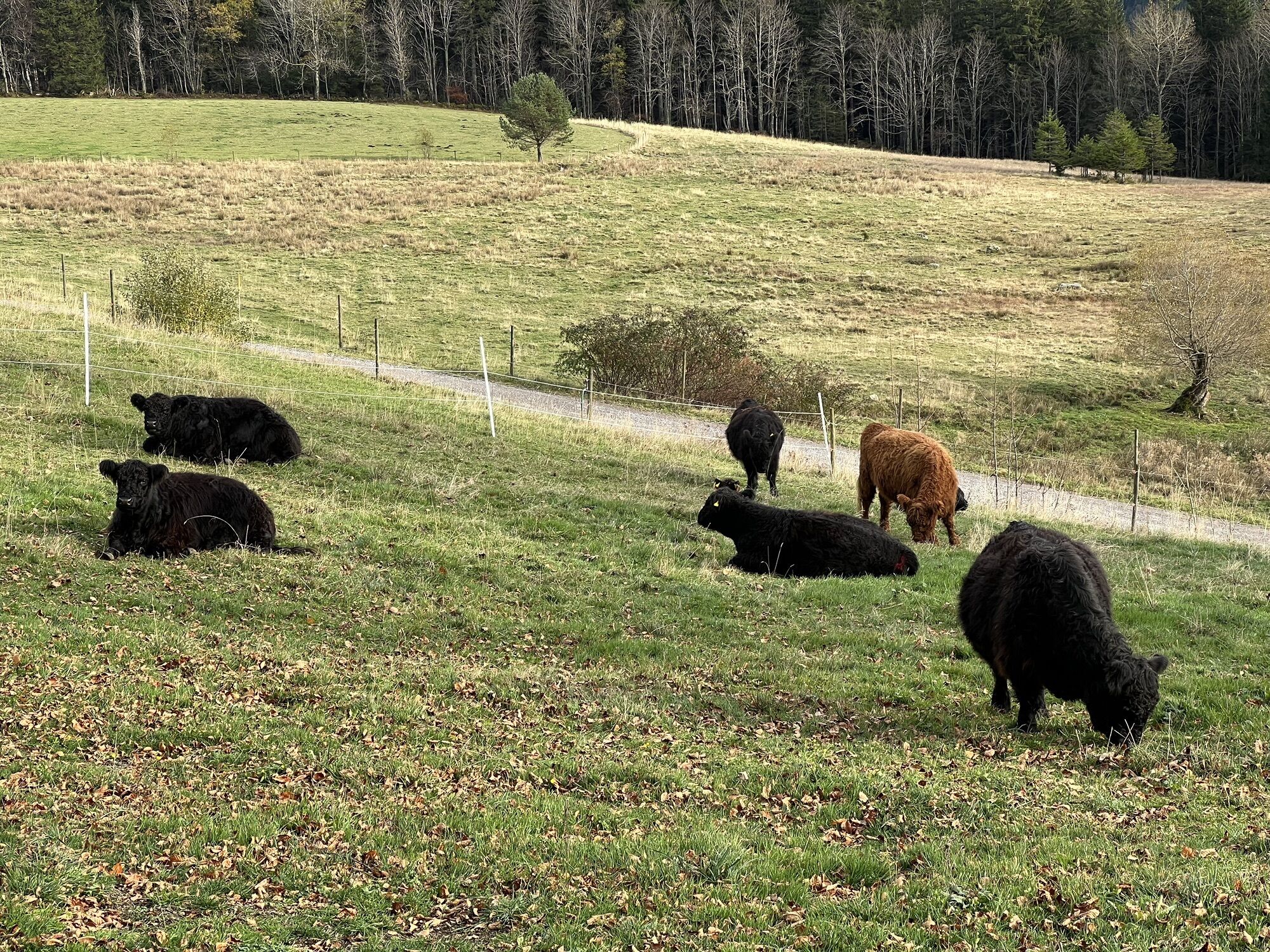
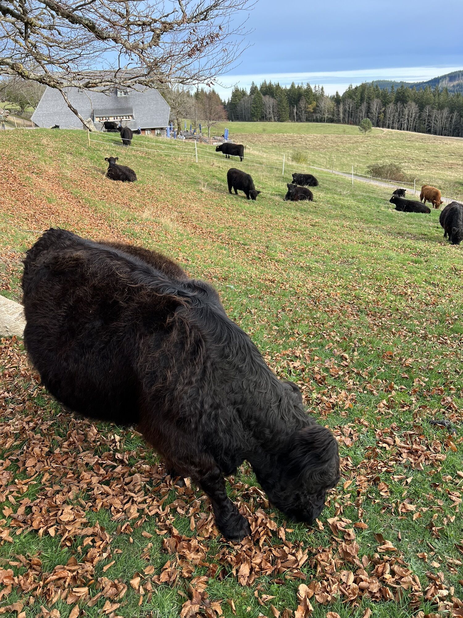
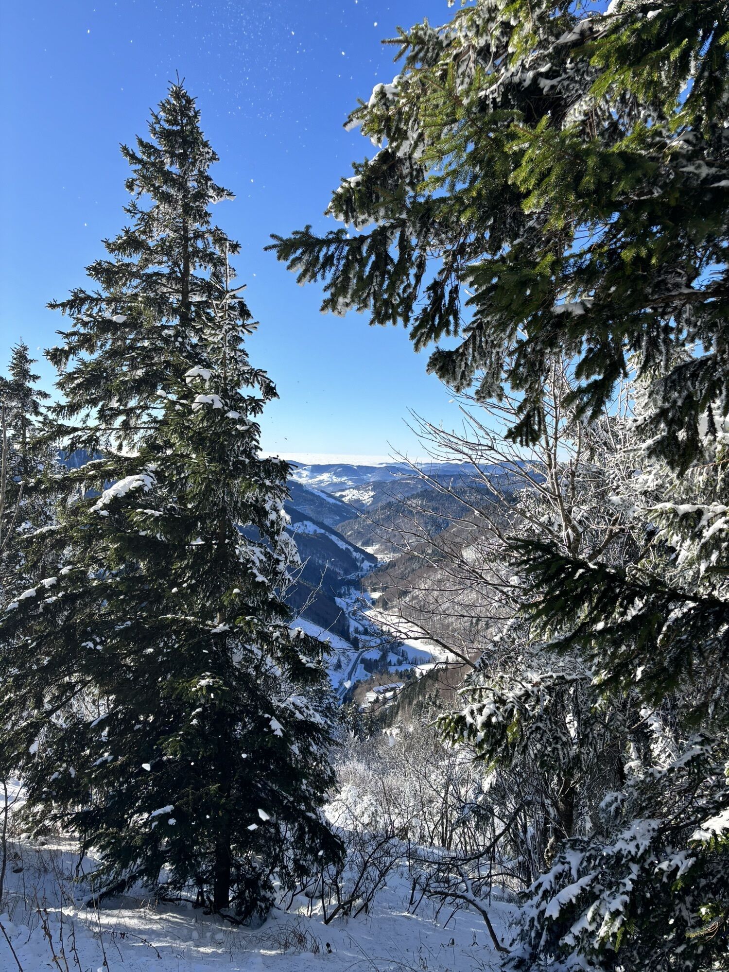
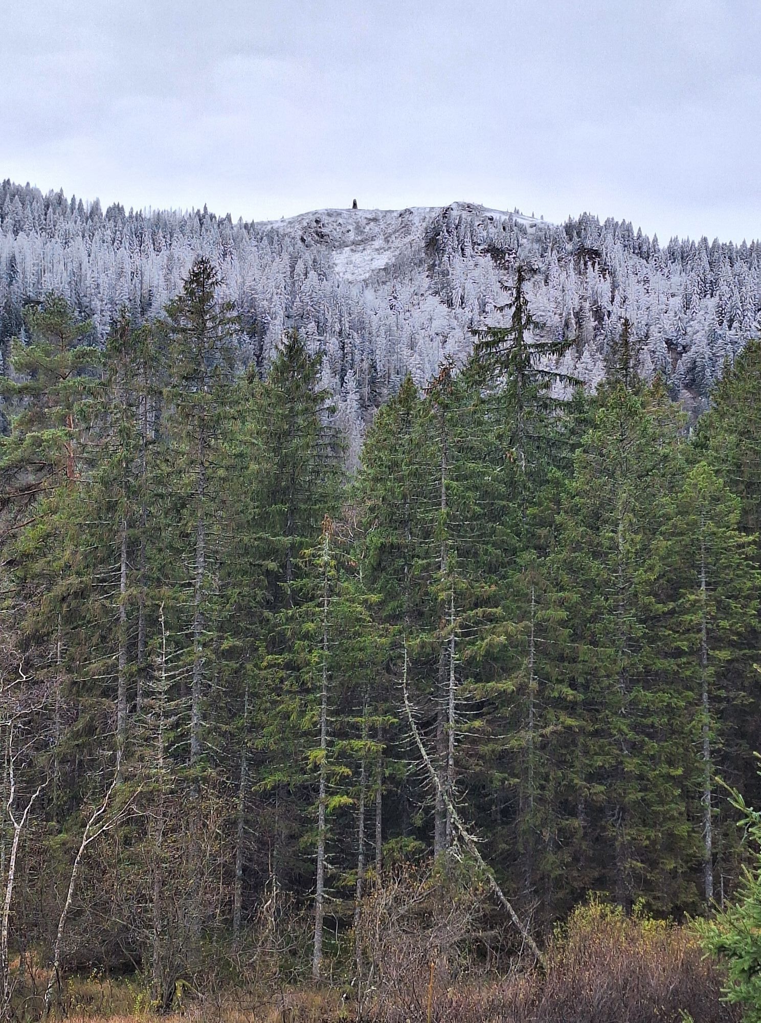
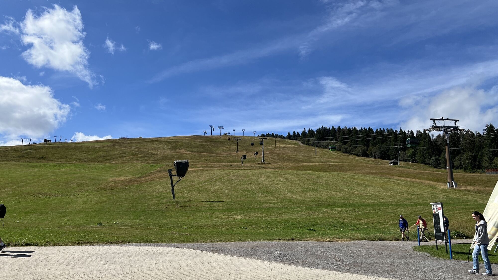
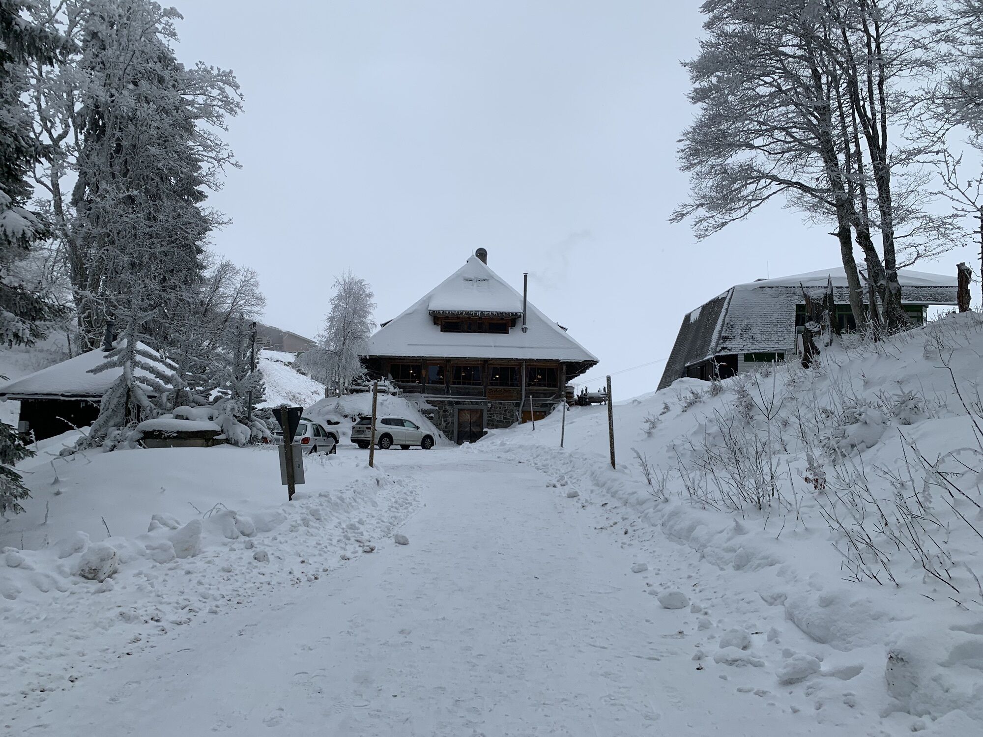
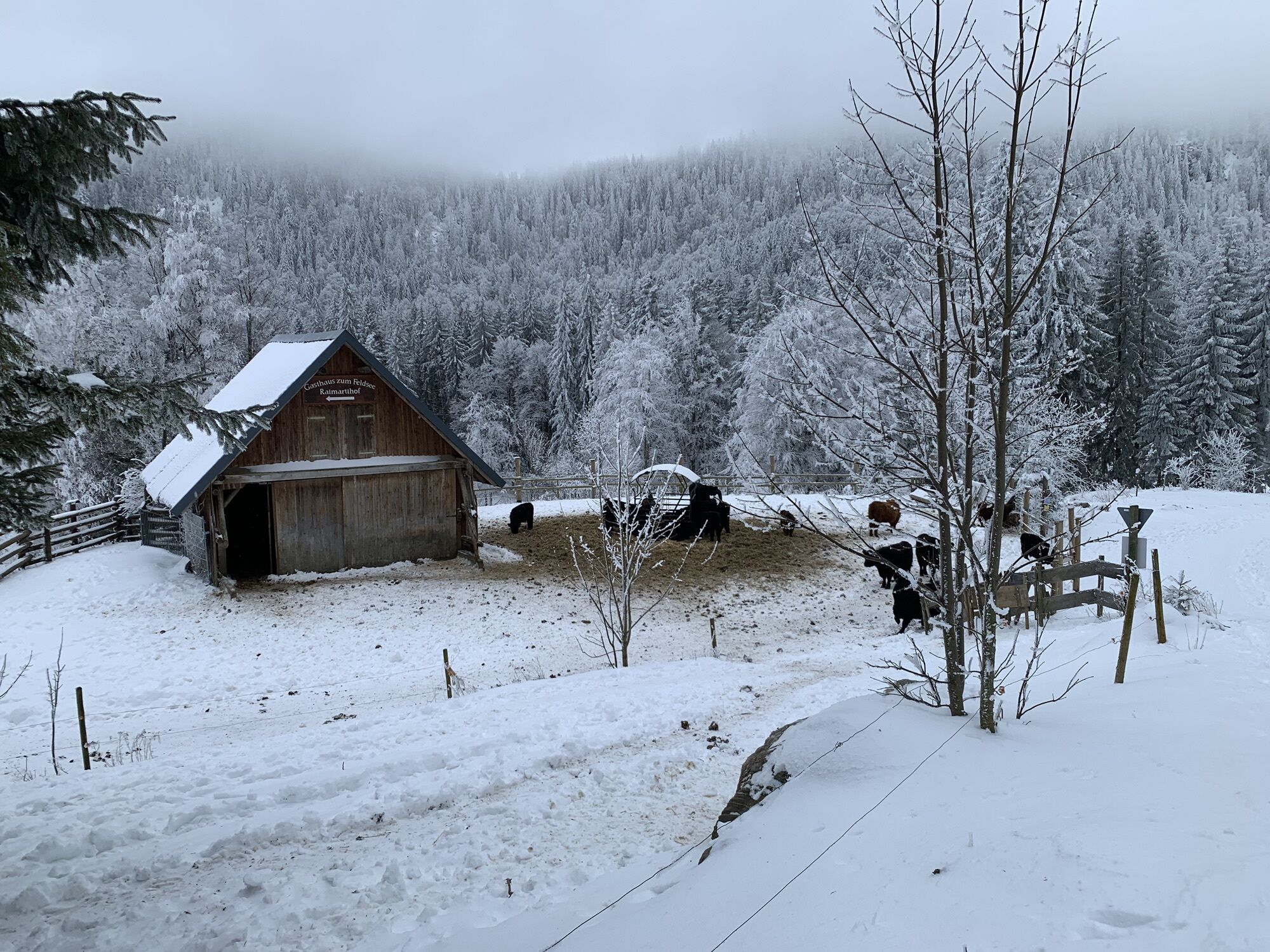
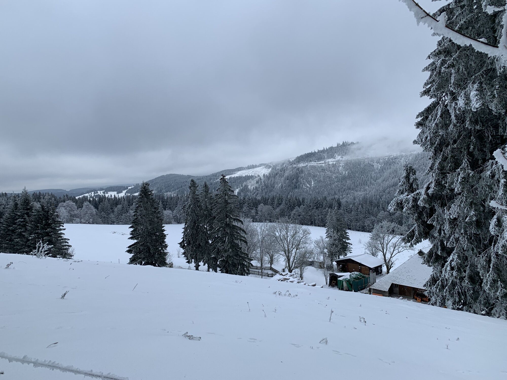
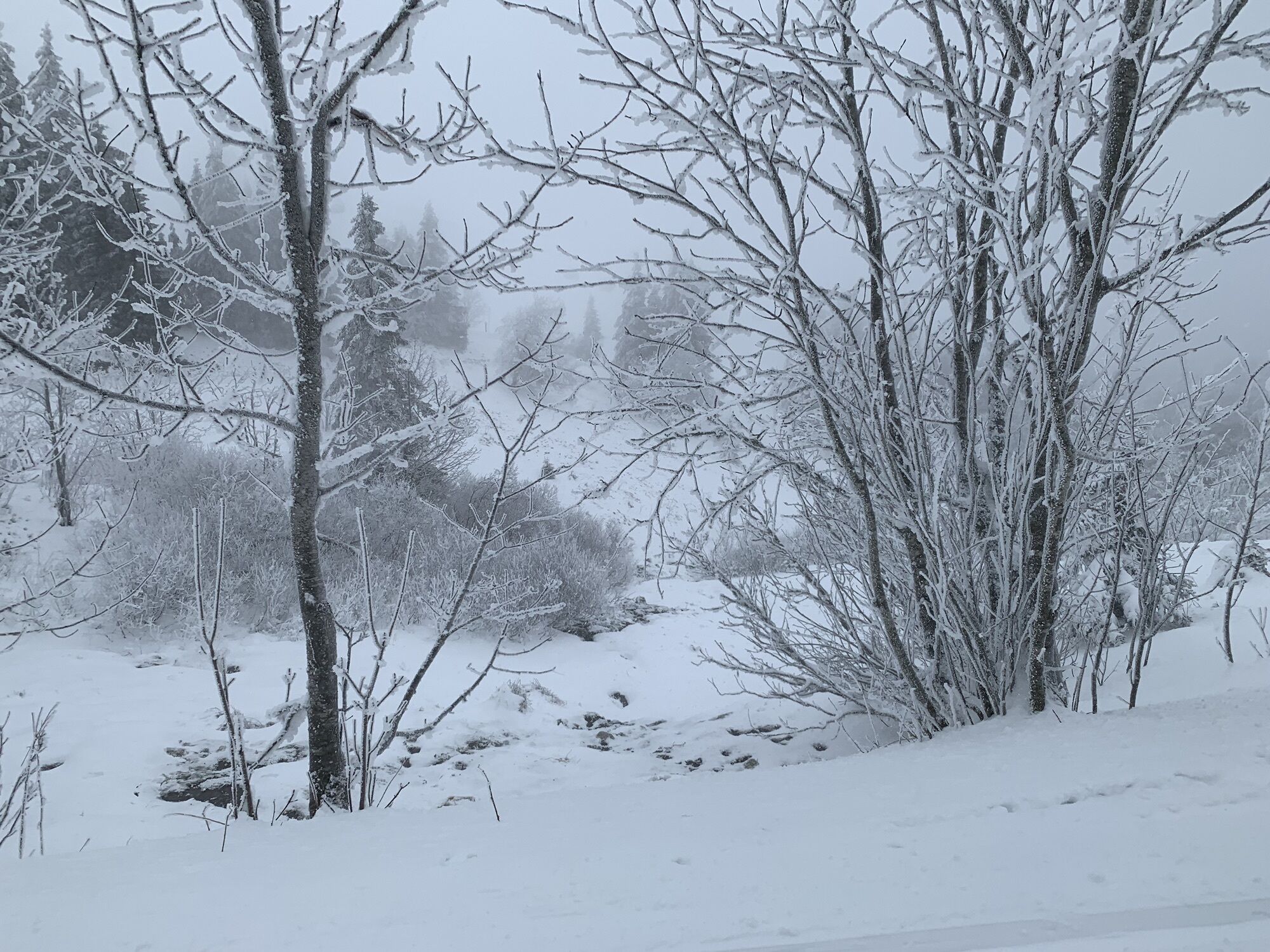
Photos from our users
-

 © THE 1Created on 12.08.2025
 -

 © Pierre HeinleinCreated on 30.12.2023
 -
 © Markus_GlanzmannCreated on 07.12.2023
 -
 © Markus_GlanzmannCreated on 07.12.2023
 -
 © Markus_GlanzmannCreated on 07.12.2023
 -
 © Markus_GlanzmannCreated on 07.12.2023
 -
 © Markus_GlanzmannCreated on 07.12.2023
 -
 © Markus_GlanzmannCreated on 07.12.2023
 -
 © Sonja HerdegCreated on 17.06.2023
 -
 © vcandilCreated on 06.11.2022
 -
 © vcandilCreated on 06.11.2022
 -
 © vcandilCreated on 06.11.2022
 -
 © vcandilCreated on 06.11.2022
 -
 © vcandilCreated on 06.11.2022
 -
 © ViolaCreated on 22.11.2025
 -
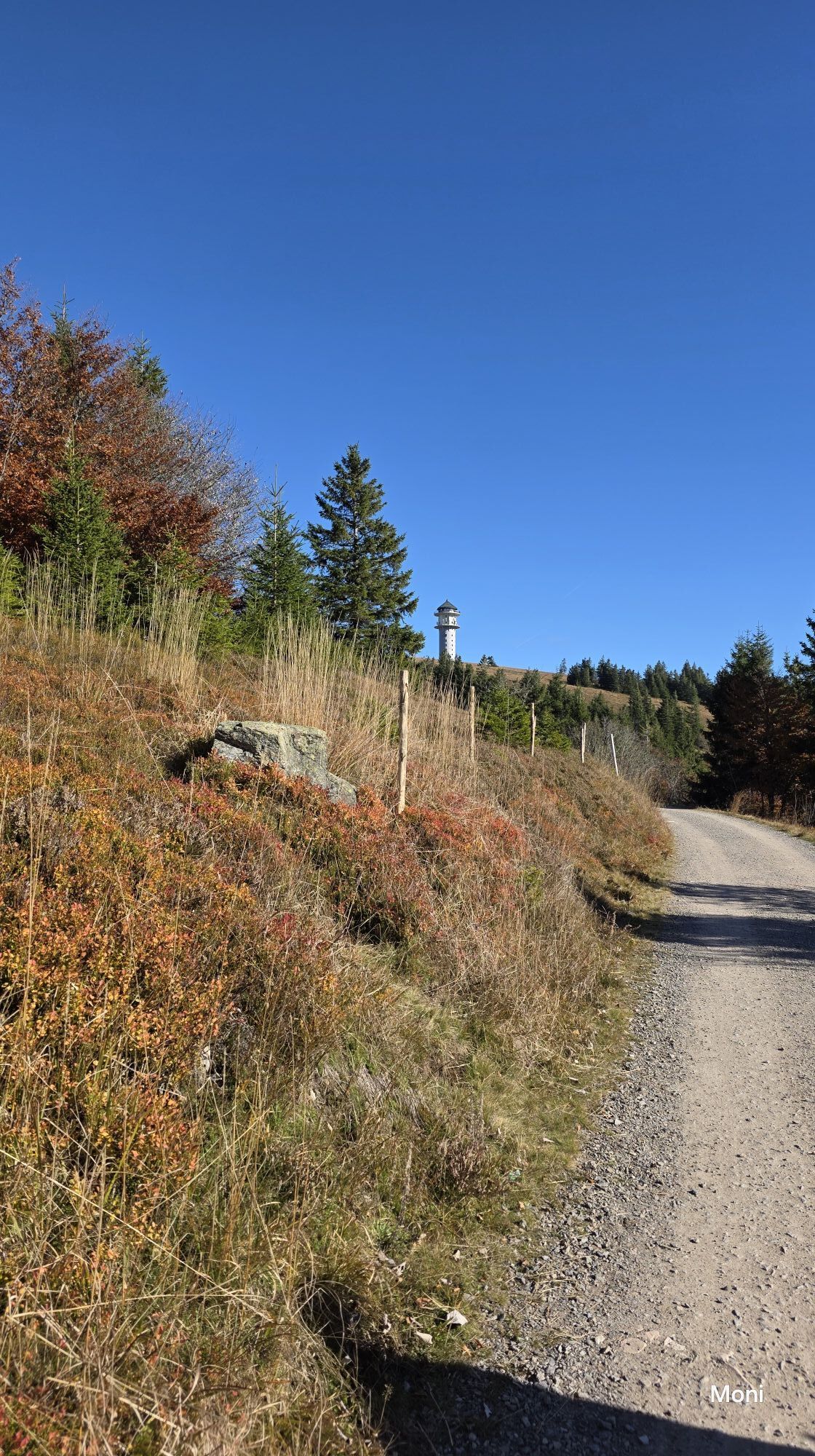
 © MoniCreated on 18.10.2025
 -
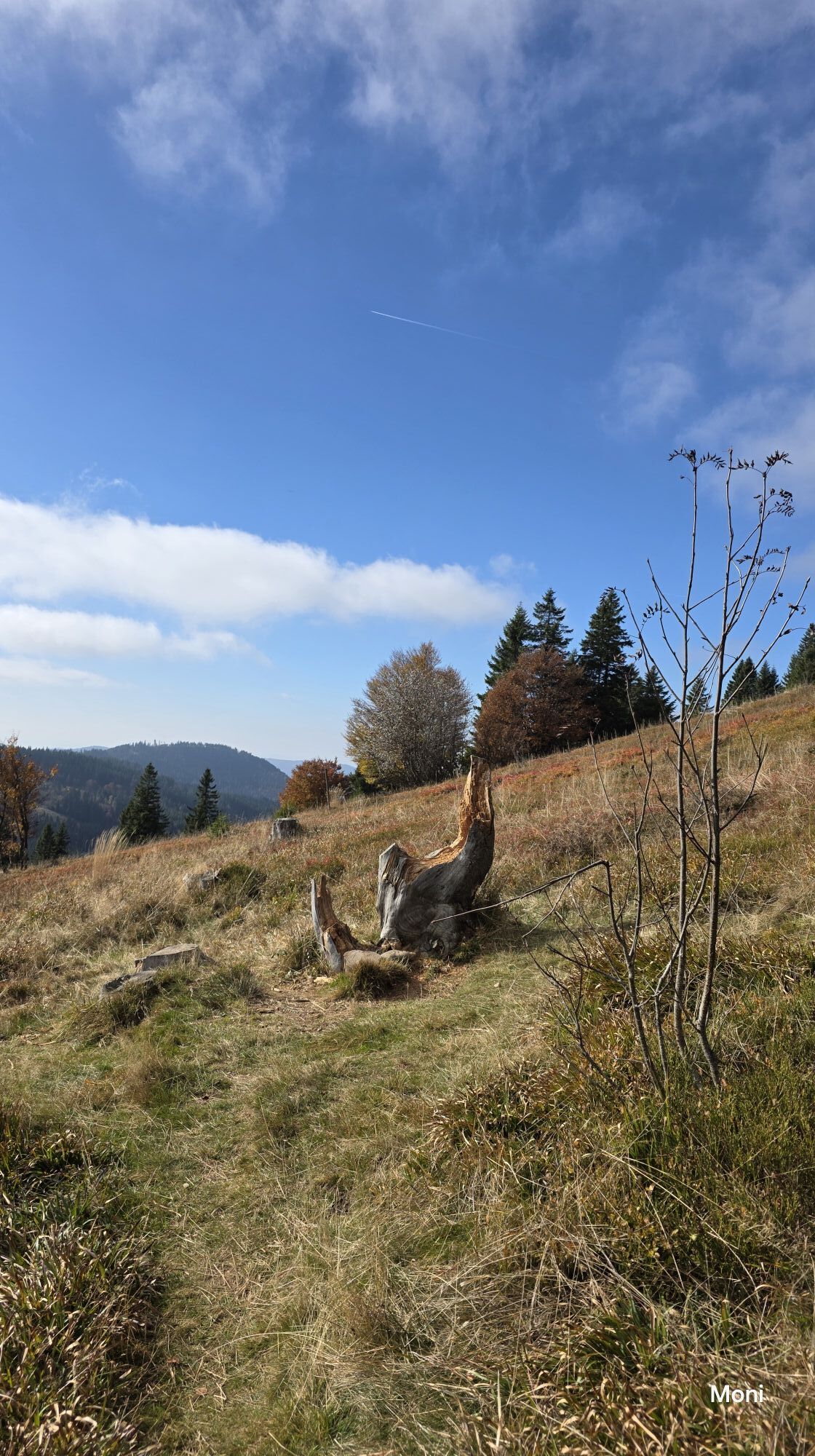
 © MoniCreated on 18.10.2025
 -
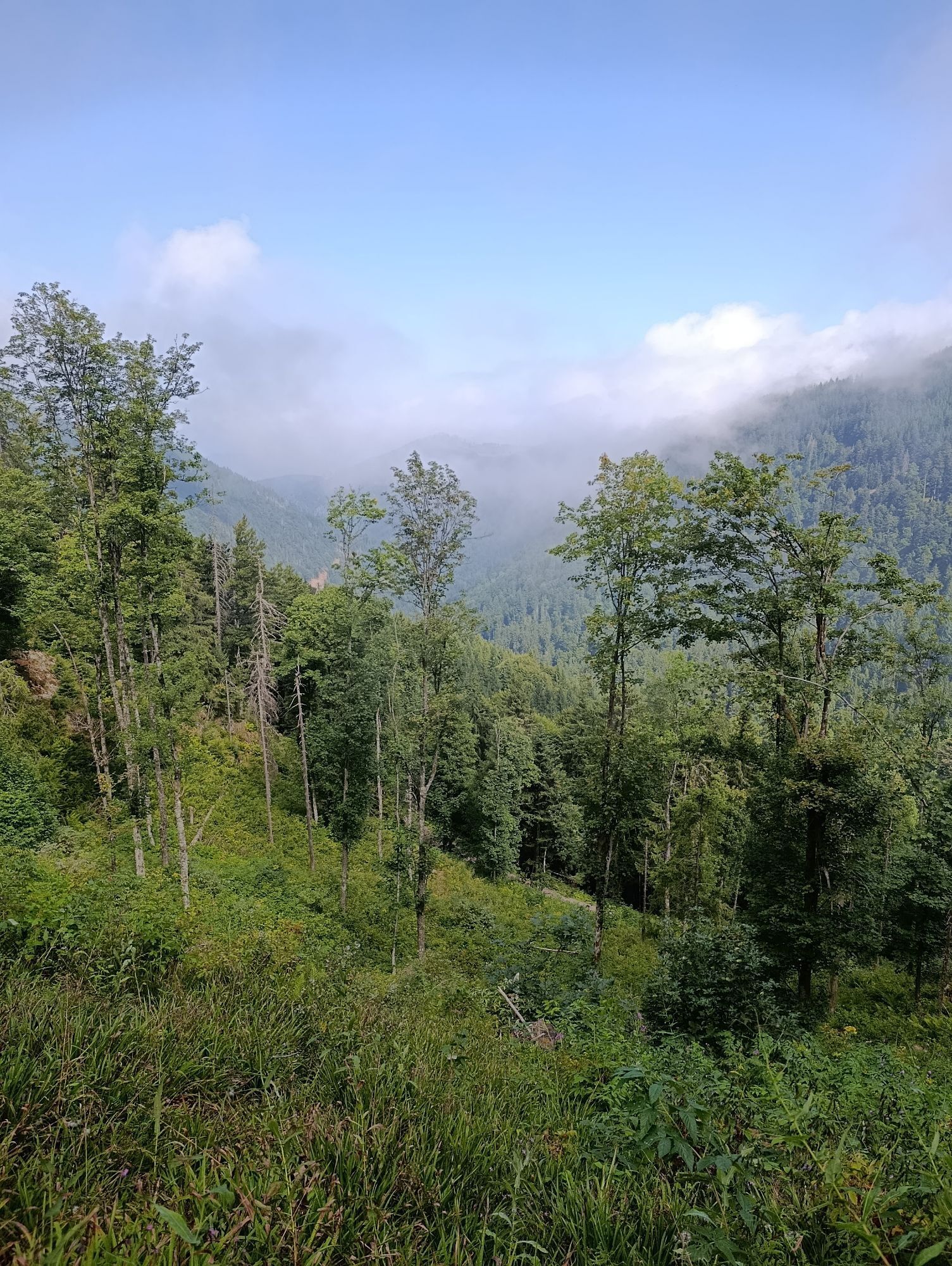
 © Florian EndresCreated on 17.08.2025
 -
 © Florian EndresCreated on 17.08.2025
 -
 © Dietmar Lüdenscheid ?Created on 29.05.2025
 -
 © Dietmar Lüdenscheid ?Created on 29.05.2025
 -
 © tomzerCreated on 16.02.2025
 -
 © KatharinaCreated on 14.11.2024
 -
 © KatharinaCreated on 14.11.2024
 -

 © Volki F.Created on 21.08.2024
 -
 © Kristina 1Created on 28.01.2023
 -
 © Kristina 1Created on 28.01.2023
 -
 © Kristina 1Created on 28.01.2023
 -
 © Kristina 1Created on 28.01.2023
 -
 © Kristina 1Created on 28.01.2023


Route
Schönau im Schwarzwald
(539 m)
City
0,0 km
Katholische Kapelle St. Wendelin
(783 m)
Place of worship
10,9 km
Berggasthof & Pension zur Todtnauer Hütte
(1.319 m)
Shelter
17,8 km
Bürstenholzfabrik
(609 m)
Neighbourhood
35,0 km
Oberried Surenhof
(489 m)
Settlement
40,7 km
Halde
(1.154 m)
Settlement
50,0 km
Schönau im Schwarzwald
(539 m)
City
70,5 km
Route
Schönau im Schwarzwald - Campingstüble - Katholische Kapelle St. Wendelin - Berggasthof & Pension zur Todtnauer Hütte
heavy
Mountainbike
70,47
km
Schönau im Schwarzwald
(539 m)
City
0,0 km
Campingstüble
(537 m)
Restaurant
0,1 km
Utzenfeld
(558 m)
Village
2,0 km
Geschwend
(586 m)
Village
3,7 km
Wasserfall der Wiese in Geschwend
(604 m)
Waterfall
4,2 km
Schlechtnau
(618 m)
Settlement
5,4 km
Todtnau
(648 m)
City
7,0 km
Wolfsschlucht
(694 m)
Corridor/terrain
8,2 km
Auf der Säge
(725 m)
Neighbourhood
9,4 km
Brandenberg
(741 m)
Village
9,7 km
Landgasthaus Kurz
(756 m)
Restaurant
10,4 km
Hotel Gasthaus Hirschen
(766 m)
Restaurant
10,7 km
Brandenberg
(773 m)
Settlement
10,7 km
Katholische Kapelle St. Wendelin
(783 m)
Place of worship
10,9 km
Wasserloch
(801 m)
Settlement
11,6 km
Lawine - Hotel Restaurant
(866 m)
Restaurant
12,7 km
Fahl
(863 m)
Village
12,8 km
Herzbach Wasserfall
(985 m)
Waterfall
13,8 km
Fahler Wasserfall
(954 m)
Waterfall
14,4 km
Berggasthof & Pension zur Todtnauer Hütte
(1.319 m)
Shelter
17,8 km
Wiesentalblick
(1.374 m)
Viewpoint
19,6 km
Herzogenhornblick
(1.359 m)
Viewpoint
20,1 km
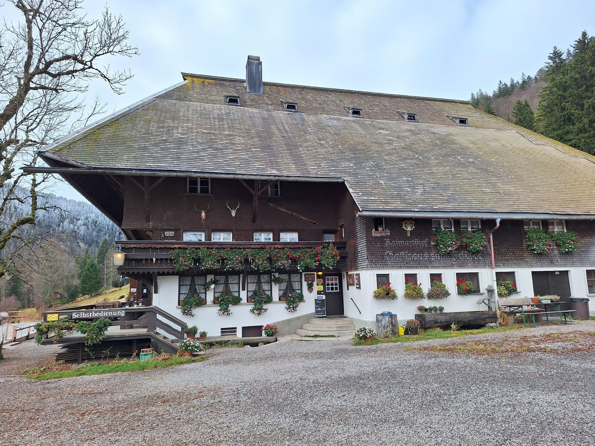
Raimartihof
(1.112 m)
Restaurant
25,4 km
Adamshof
(614 m)
Neighbourhood
35,0 km
Hinteres Zastler
(612 m)
Settlement
35,0 km
Bürstenholzfabrik
(609 m)
Neighbourhood
35,0 km
Zastler
(551 m)
Settlement
36,5 km
Hercherhof
(471 m)
Neighbourhood
38,4 km
Zastler
(469 m)
Settlement
38,5 km
Gasthaus Sternen Post
(452 m)
Restaurant
39,4 km
Dorfschänke
(455 m)
Restaurant
39,5 km
Dorfbrunnen
(450 m)
Source
39,5 km
Oberried
(457 m)
Village
39,8 km
Zum Goldenen Adler
(464 m)
Restaurant
40,0 km
Oberried Surenhof
(489 m)
Settlement
40,7 km
Oberried Hintertal
(510 m)
Settlement
41,3 km
Bruggawasserfälle
(650 m)
Waterfall
43,6 km
Steinwasen-Wasserfälle
(768 m)
Waterfall
45,1 km
Untere Buselbach-Wasserfälle
(825 m)
Waterfall
45,4 km
Gasthof zum Hof
(1.031 m)
Restaurant
48,1 km
Hofsgrund
(1.030 m)
Village
48,1 km
Halde
(1.154 m)
Settlement
50,0 km
Ungendwieden
(927 m)
Neighbourhood
57,9 km
Hüttbach
(911 m)
Neighbourhood
59,2 km
Eckle
(894 m)
Neighbourhood
59,7 km
Bühl
(881 m)
Neighbourhood
60,2 km
Wieden
(839 m)
Village
60,6 km
Hirschen
(838 m)
Restaurant
60,7 km
Lailehäuser
(832 m)
Neighbourhood
60,9 km
Neßlerhäuser
(800 m)
Neighbourhood
61,1 km
Laitenbach
(854 m)
Settlement
61,6 km
Rollsbach
(839 m)
Settlement
64,1 km
Unterrollsbach
(828 m)
Settlement
64,3 km
Auerhahn
(823 m)
Restaurant
64,3 km
Aitern
(601 m)
Village
68,1 km
Campingstüble
(537 m)
Restaurant
70,3 km
Schönau im Schwarzwald
(539 m)
City
70,5 km
No reviews yet
Webcams of the tour
-
Feldbergturm Seebuck Gipfel
-
Todtnauberg - Pension Glöcklehof
-
Todtnauberg - Haus Keller
-
Feldberg - Falkau
-
Feldberg - Grafenmatt I
-
Altglashütten - Schwarzenbachlift
-
Todtnau - Aftersteg
-
Todtnau - Aftersteg
-
Belchen
-
Belchen
-
Seebuck Bergstation
-
Todtnauberg - Bucklift
-
Belchenbahn Talstation
-
Seebuck Talstation
-
Hofeck Talstation
-
Talstation Winkellift
-
Skilifte Stollenbach - Talstation
-
Heidstein
-
Belchenbahn Bergstation
-
Skilift Wiedenereck
-
Feldberg - Opelhaus
-
Skilift Fröhnd
-
Menzenschwander Hütte - Feldberg
-
Menzenschwand Hinterdorf
-
Bergstation Mösle - Menzenschwand
-
Skilift Schwinbach - Menzenschwand
-
Radon Revital Bad - Menzenschwand
-
Menzenschwander Hütte - Feldberg
-
Skilifte Stollenbach
-
Scheuermatthof
-
Schönau im Schwarzwald
-
Stollenbach
-
Bollschweil - Gschwendlehof
-
Haldenköpfle - Talstation Lift 2
-
Todtnauer Hütte
-
Haldenköpfle - Talstation Lift 1
-
Haldenköpfle - Talstation Lift 1
-
Bergstation Schauinslandbahn
Popular tours in the neighbourhood
-
3,8
Seerundweg Titisee
lightPješačenje 5,84 km -
4,2
Belchensteig
mediumPješačenje 14,8 km -
4,6
Genießerpfad Belchensteig (Deutschlands schönster Wanderweg 2020)
heavyPješačenje 15,2 km -
4,8
Sonnenaufgang und Feldbergsteig
mediumPješačenje 11,6 km -
4,0
Bernauer Hochtal Steig
mediumPješačenje 15,9 km -
5,0
Ravenna - Löffeltal
mediumPješačenje 8,53 km -
5,0
Belchen Talstation hin und zurück
lightPješačenje 5,91 km -
4,7
Todtmoos – Wanderung: Genießerpfad Lebküchlerweg
mediumPješačenje 12,8 km -
4,0
Höhenklimaweg Titisee-Rundweg
mediumPješačenje 7,44 km -
4,5
Wieden - Hotel-Restaurant "Belchen-Multen" - Belchen - Untermünstertal
heavyPješačenje 15,4 km

bergfex Tours

Over 550.000 tour suggestions, detailed maps and an intuitive route planner make the app a must-have for all nature enthusiasts.

Ne propustite ponude i inspiraciju za vaš sljedeći odmor
Subscribe to the newsletter
Error
An error has occurred. Please try again.
Thank you for your registration
Your e-mail address has been added to the mailing list.
Tours throughout Europe
Austrija
Švicarska
Njemačka
Italija
Slovenija
Francuska
Nizozemska
Belgija
Poljska
Lihtenštajn
Češka
Slovačka
Španija
Hrvatska
Bosna i Hercegovina
Luksemburg
Andora
Portugal
Island
Ujedinjeno Kraljevstvo
Irska
Grčka
Albanija
Sjeverna Makedonija
Malta
Norveška
Crna Gora
Moldova
Kosovo
Mađarska
San Marino
Rumunjska
Estonija
Latvija
Bjelorusija
Cipar
Litva
Srbija
Bugarska
Monako
Danska
Švedska
Finska