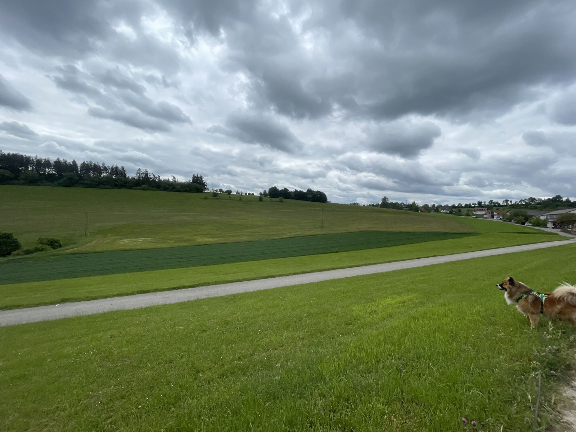
Loßburg - Versöhnungskirche - Hof Bürkle - Neuapostolische Kirche
heavy
Navigate
Navigate
Get this tour on your mobile
Loßburg - Versöhnungskirche - Hof Bürkle - Neuapostolische Kirche
heavy
Mountainbike
61,79
km
Scan the QR code and start navigation in the bergfex app

Hiking & Tracking


Distance
61,79
km
Duration
05:13
h
Ascent
710
m
Sea level
538 -
824
m
Track download
Loßburg - Versöhnungskirche - Hof Bürkle - Neuapostolische Kirche
heavy
Mountainbike
61,79
km


Route
Versöhnungskirche
(676 m)
Place of worship
0,2 km
Zur heiligen Brigida
(557 m)
Place of worship
27,6 km
Pfarrkirche
(575 m)
Place of worship
29,4 km
Weiler
(697 m)
Settlement
38,9 km
Neuapostolische Kirche
(668 m)
Place of worship
45,6 km
Schömberg
(743 m)
Village
52,0 km
Rodt
(727 m)
Neighbourhood
60,7 km
Route
Loßburg - Versöhnungskirche - Hof Bürkle - Neuapostolische Kirche
heavy
Mountainbike
61,79
km
Loßburg
(669 m)
Village
0,0 km
Versöhnungskirche
(676 m)
Place of worship
0,2 km
Ursental
(549 m)
Settlement
6,4 km
Hof Bürkle
(605 m)
Restaurant
7,1 km
Wittendorf
(619 m)
Village
10,1 km
Oberbrändi
(602 m)
Village
21,8 km
Unterbrändi
(580 m)
Village
22,4 km
Sterneck
(573 m)
Village
24,8 km
Wälde
(542 m)
Village
26,6 km
Zur heiligen Brigida
(557 m)
Place of worship
27,6 km
Betzweiler
(573 m)
Village
29,3 km
Pfarrkirche
(575 m)
Place of worship
29,4 km
Allmand
(654 m)
Picnic table
32,8 km
Romishorn
(691 m)
Settlement
37,5 km
Weiler
(697 m)
Settlement
38,9 km
Krone
(677 m)
Restaurant
40,6 km
Innerer Vogelsberg
(676 m)
Settlement
40,6 km
Äußerer Vogelsberg
(677 m)
Settlement
41,4 km
Neuapostolische Kirche
(668 m)
Place of worship
45,6 km
Loßburg
(669 m)
Village
45,8 km
Duftspirale
(656 m)
Playground
45,9 km
Büchenberg
(699 m)
Settlement
46,9 km
Schömberg
(743 m)
Village
52,0 km
Gasthof Sonne
(745 m)
Restaurant
52,1 km
Schwarzwald-Gasthof-Pension "Zum Steinwald"
(803 m)
Restaurant
56,1 km
Vordersteinwald
(797 m)
Settlement
56,2 km
Rodt
(727 m)
Neighbourhood
60,7 km
Schlössleeck
(730 m)
Corridor/terrain
60,9 km
Kaminstube
(701 m)
Restaurant
61,1 km
Loßburg
(669 m)
Village
61,5 km
No reviews yet
Popular tours in the neighbourhood
-
Kniebiser Heimatpfad - Wandern mit Genuss
lightPješačenje 9,07 km -
Kniebis-Sankenbachwasserfälle-Sankenbachsee
mediumPješačenje 7,98 km -
Baiersbronn Sky Route: 2-Lake Route
heavyPješačenje 19,9 km -
3,0
Baiersbronner Himmelsweg: Mönch-Tour Klosterreichenbach
heavyPješačenje 12,5 km -
Rundwanderung zum Zwieselberg
mediumPješačenje 17,2 km -
German Timber-Frame Road: Dornstetten – Haslach im Kinzigtal
mediumVozi bicikl 68,2 km -
East Way: Alpirsbach - Schramberg
heavyPješačenje 20,4 km -
East Route: Pfalzgrafenweiler - Freudenstadt
mediumPješačenje 17,2 km -
Wolfach - Klausenwald Route
lightNordic Walking 5,91 km -
Kniebis -Baiersbronn wandern
heavyPješačenje 14,1 km
bergfex Tours

Over 550.000 tour suggestions, detailed maps and an intuitive route planner make the app a must-have for all nature enthusiasts.

Ne propustite ponude i inspiraciju za vaš sljedeći odmor
Subscribe to the newsletter
Error
An error has occurred. Please try again.
Thank you for your registration
Your e-mail address has been added to the mailing list.
Tours throughout Europe
Austrija
Švicarska
Njemačka
Italija
Slovenija
Francuska
Nizozemska
Belgija
Poljska
Lihtenštajn
Češka
Slovačka
Španija
Hrvatska
Bosna i Hercegovina
Luksemburg
Andora
Portugal
Island
Ujedinjeno Kraljevstvo
Irska
Grčka
Albanija
Sjeverna Makedonija
Malta
Norveška
Crna Gora
Moldova
Kosovo
Mađarska
San Marino
Rumunjska
Estonija
Latvija
Bjelorusija
Cipar
Litva
Srbija
Bugarska
Monako
Danska
Švedska
Finska