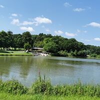
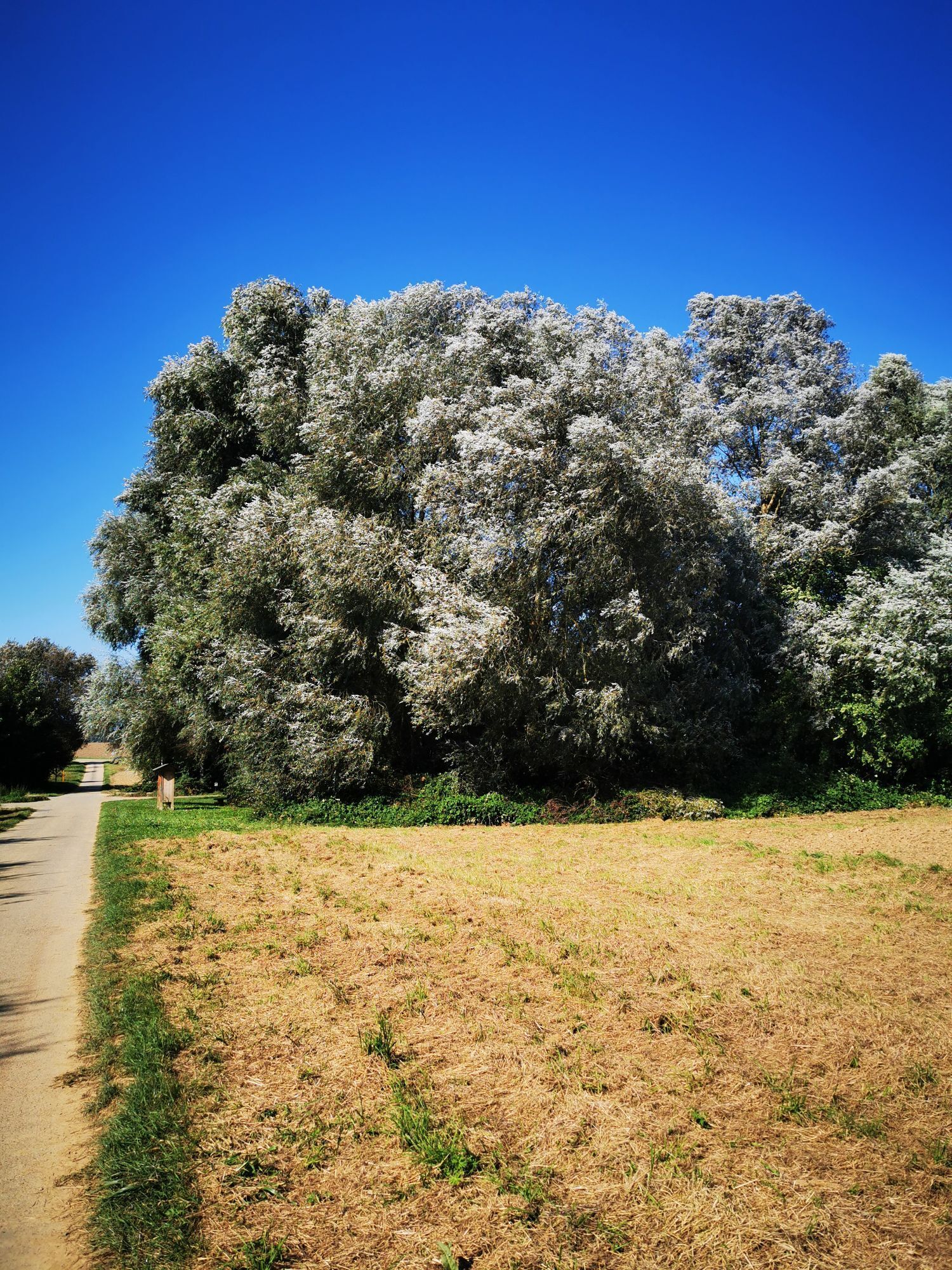
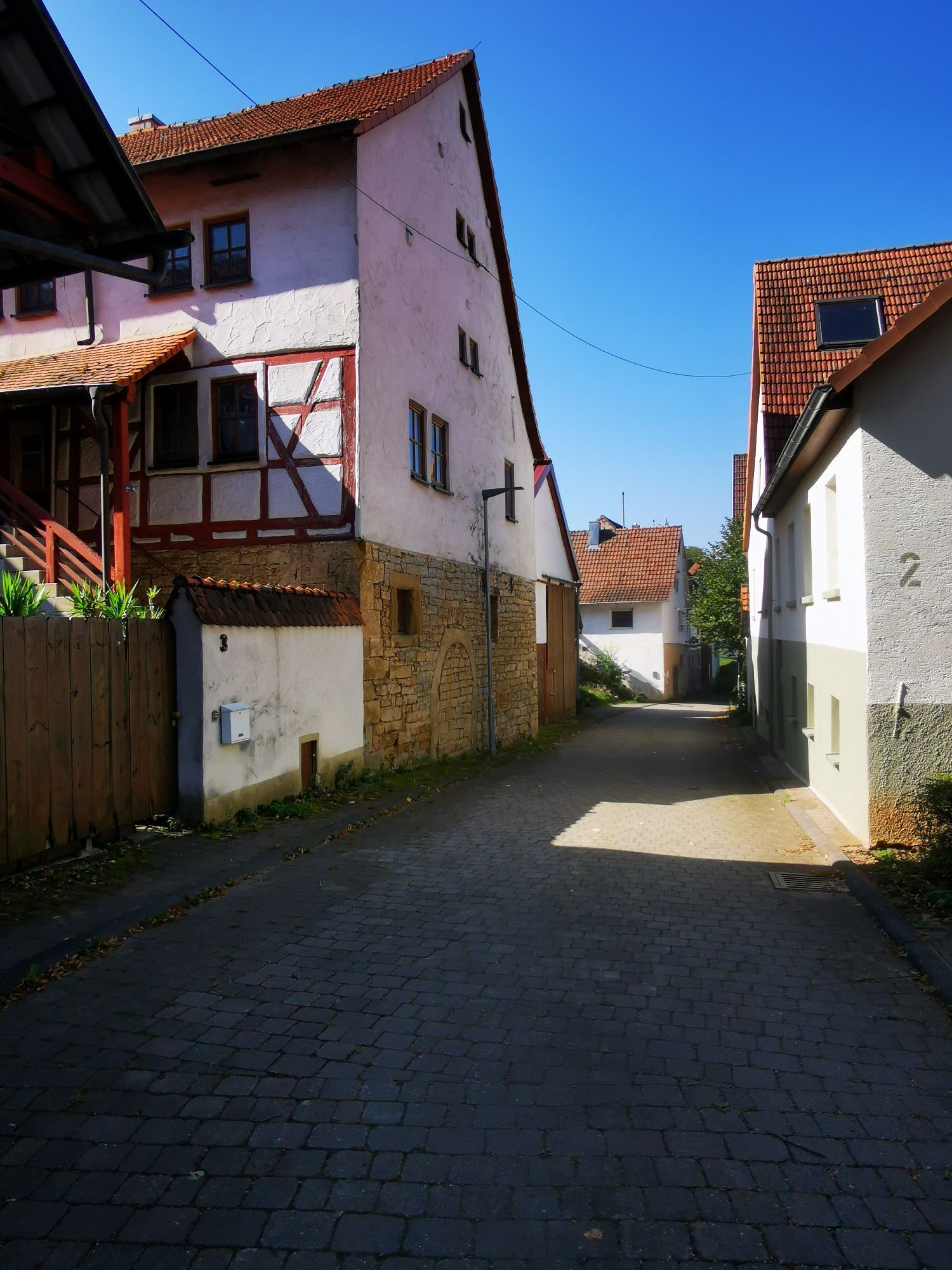
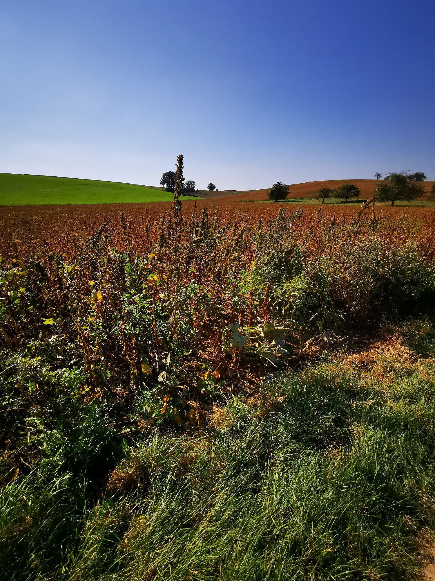
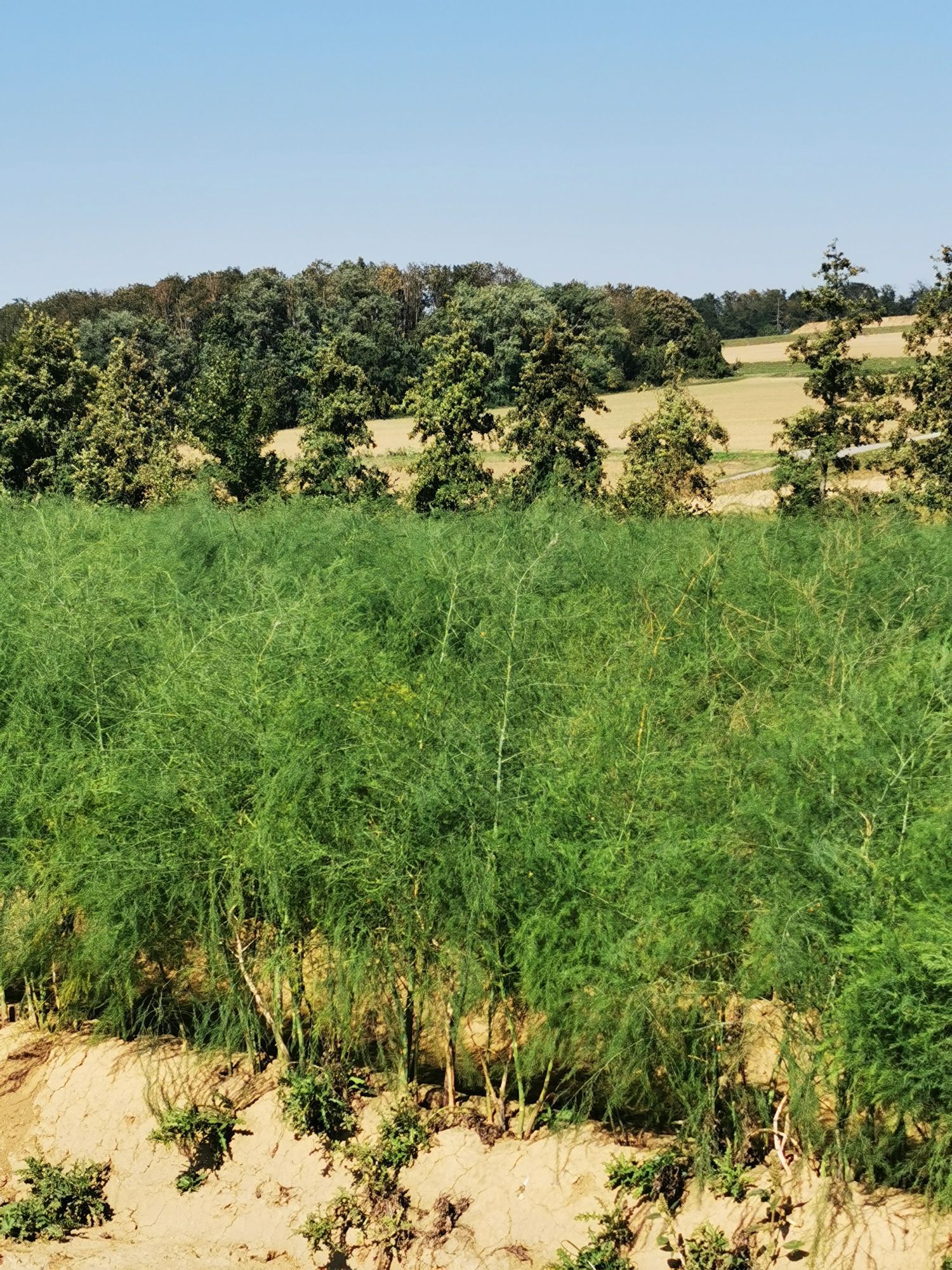
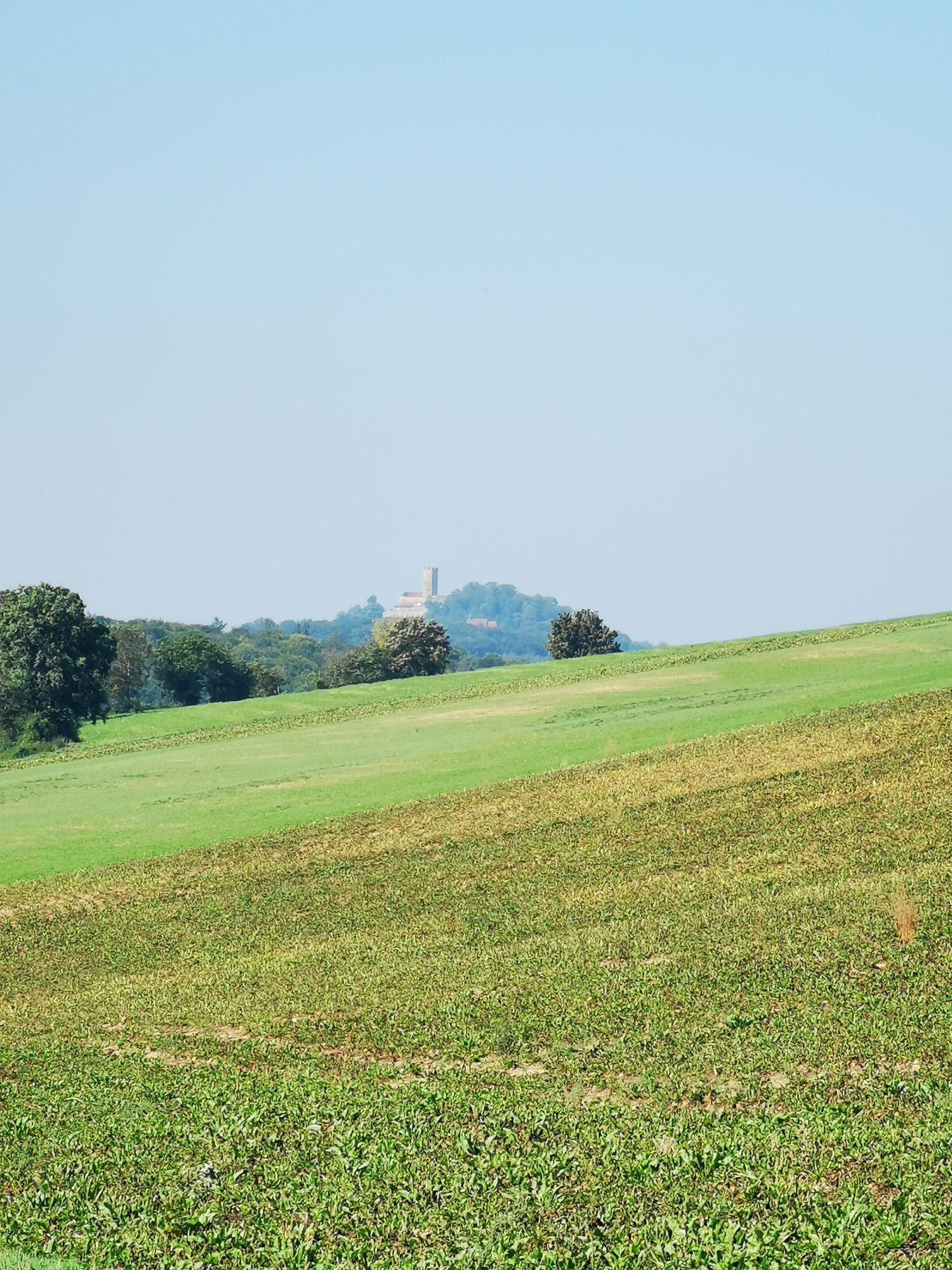
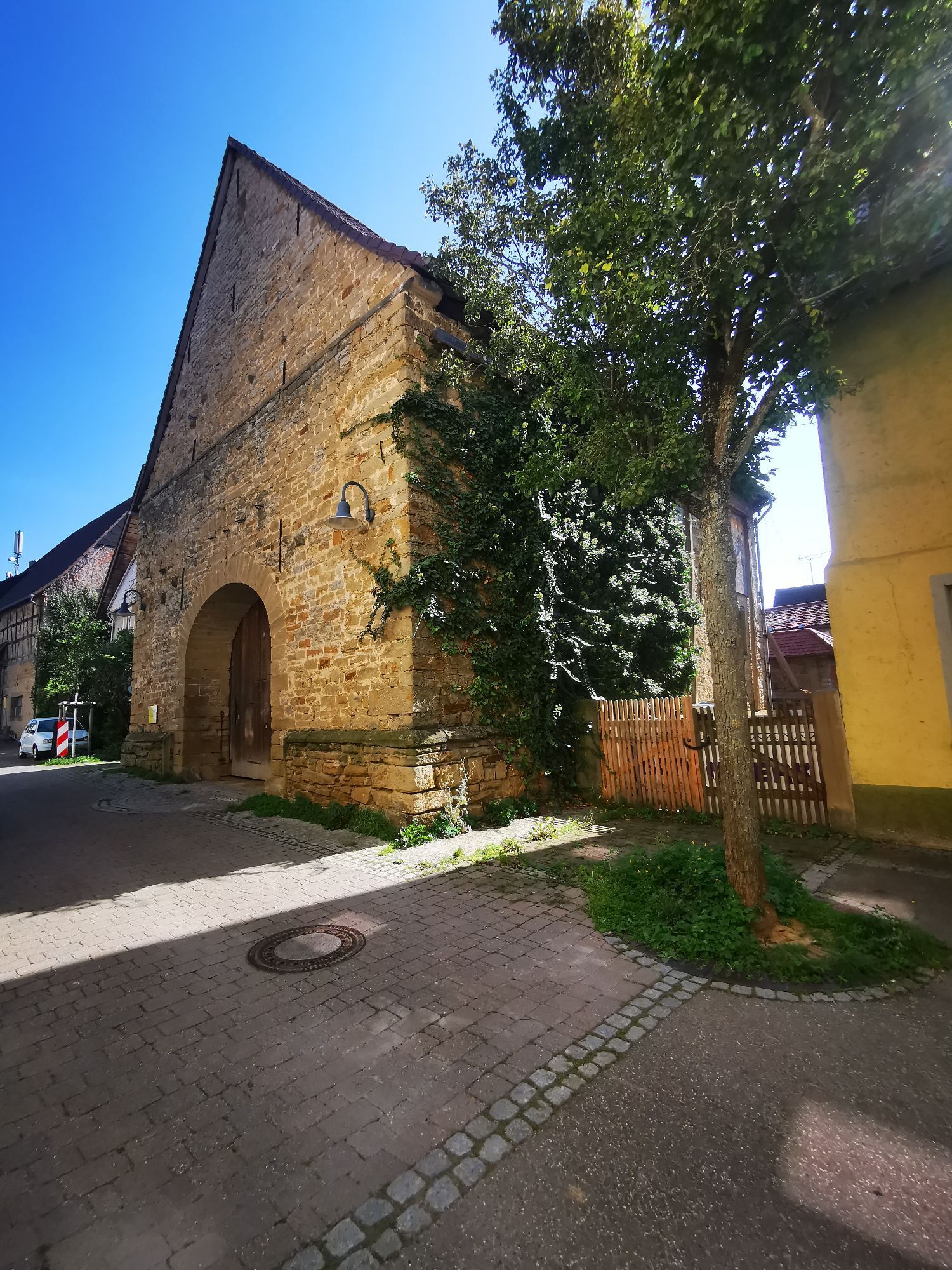
Ittlingen
medium
Navigate
Navigate
Get this tour on your mobile
Ittlingen
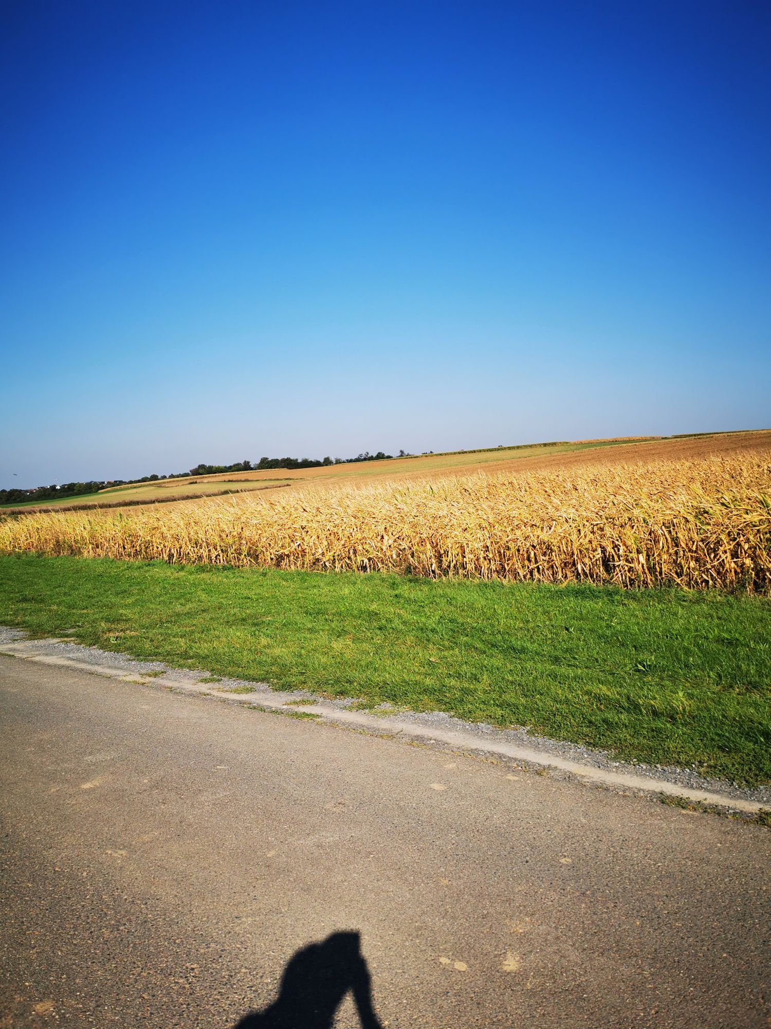
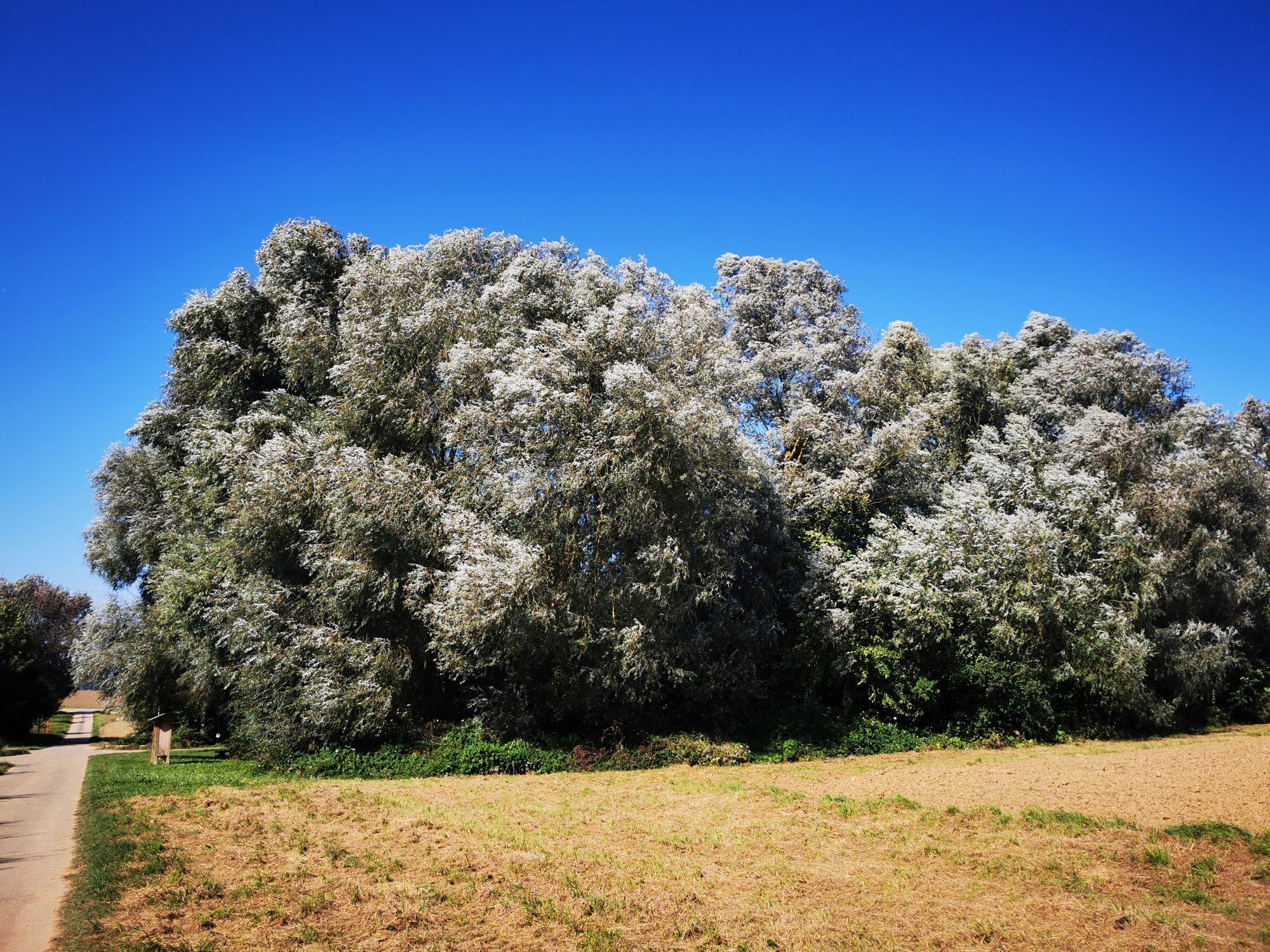
medium
Vozi bicikl
38,62
km
Scan the QR code and start navigation in the bergfex app

Hiking & Tracking


Distance
38,62
km
Duration
02:11
h
Ascent
413
m
Sea level
175 -
260
m
Track download
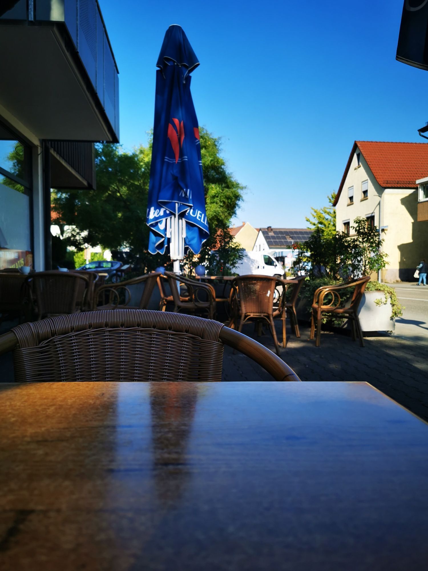
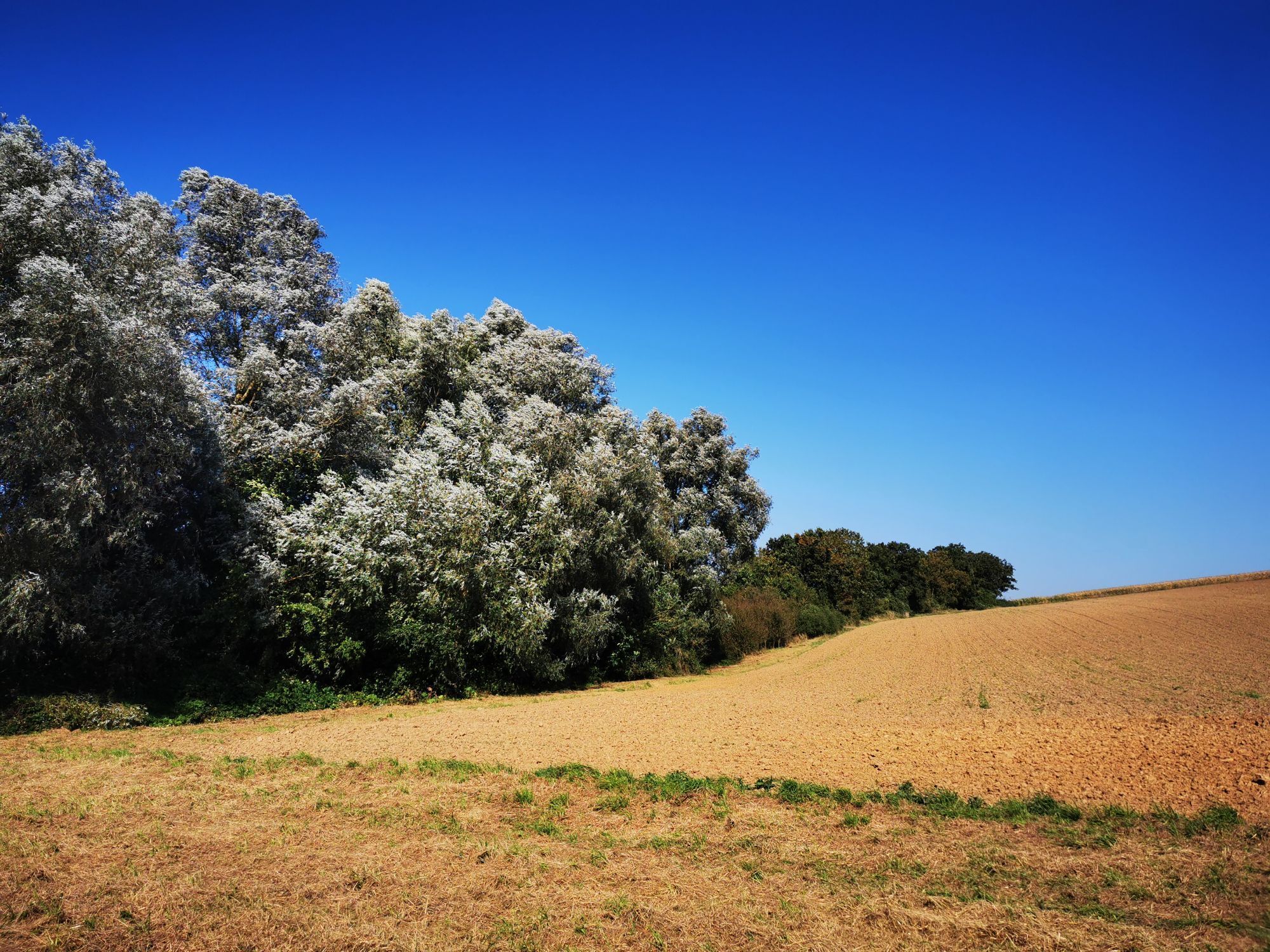
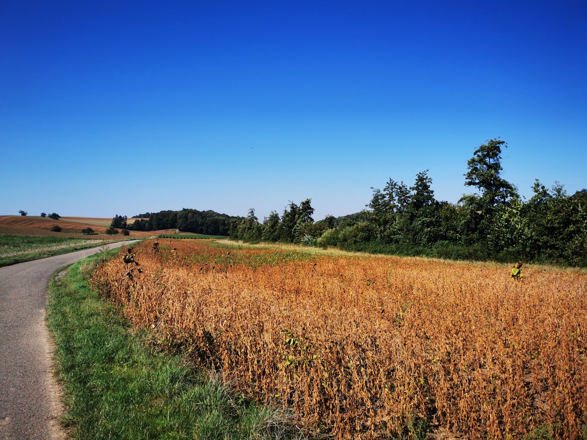
Ittlingen
medium
Vozi bicikl
38,62
km


Route
Gemeinde Gottes
(189 m)
Place of worship
2,1 km
Evangelische Kirche
(217 m)
Place of worship
6,4 km
Stebbach
(213 m)
Village
6,5 km
Kirchardt
(228 m)
Village
20,7 km
Bockschaft
(231 m)
Village
22,4 km
Ittlingen
(186 m)
Village
27,2 km
Richen
(187 m)
Village
31,0 km
Route
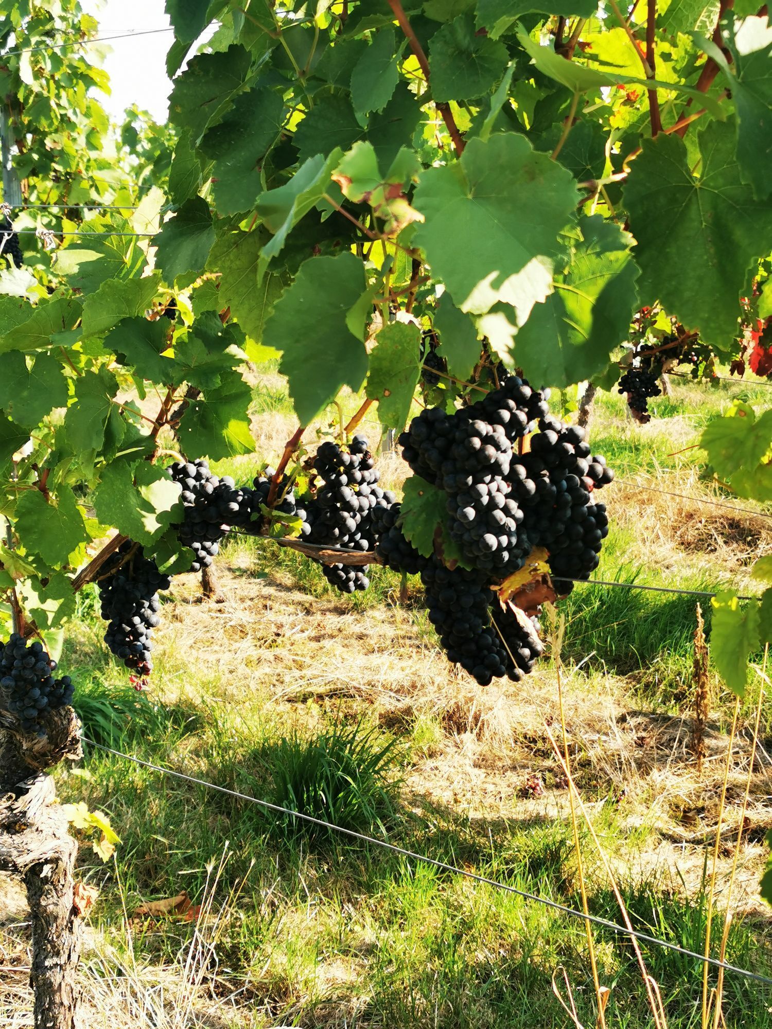
Ittlingen
medium
Vozi bicikl
38,62
km
Eppingen
(199 m)
City
0,8 km
Gemeinde Gottes
(189 m)
Place of worship
2,1 km
Evangelische Kirche
(217 m)
Place of worship
6,4 km
Stebbach
(213 m)
Village
6,5 km
Gemmingen
(210 m)
Village
11,1 km
Kirchardt
(228 m)
Village
20,7 km
Ratskeller
(229 m)
Restaurant
22,3 km
Bockschaft
(231 m)
Village
22,4 km
Hammberger Hof
(180 m)
Restaurant
25,4 km
Ittlinger Tor
(178 m)
Restaurant
26,8 km
Ittlingen
(186 m)
Village
27,2 km
Zum Löwen
(191 m)
Restaurant
30,9 km
Richen
(187 m)
Village
31,0 km
Gemeinde Gottes
(189 m)
Place of worship
36,1 km
Eppingen
(199 m)
City
37,6 km

Route information
Geological highlights
Yes
Pilgrimage tour
Yes
Suitable for families
Yes
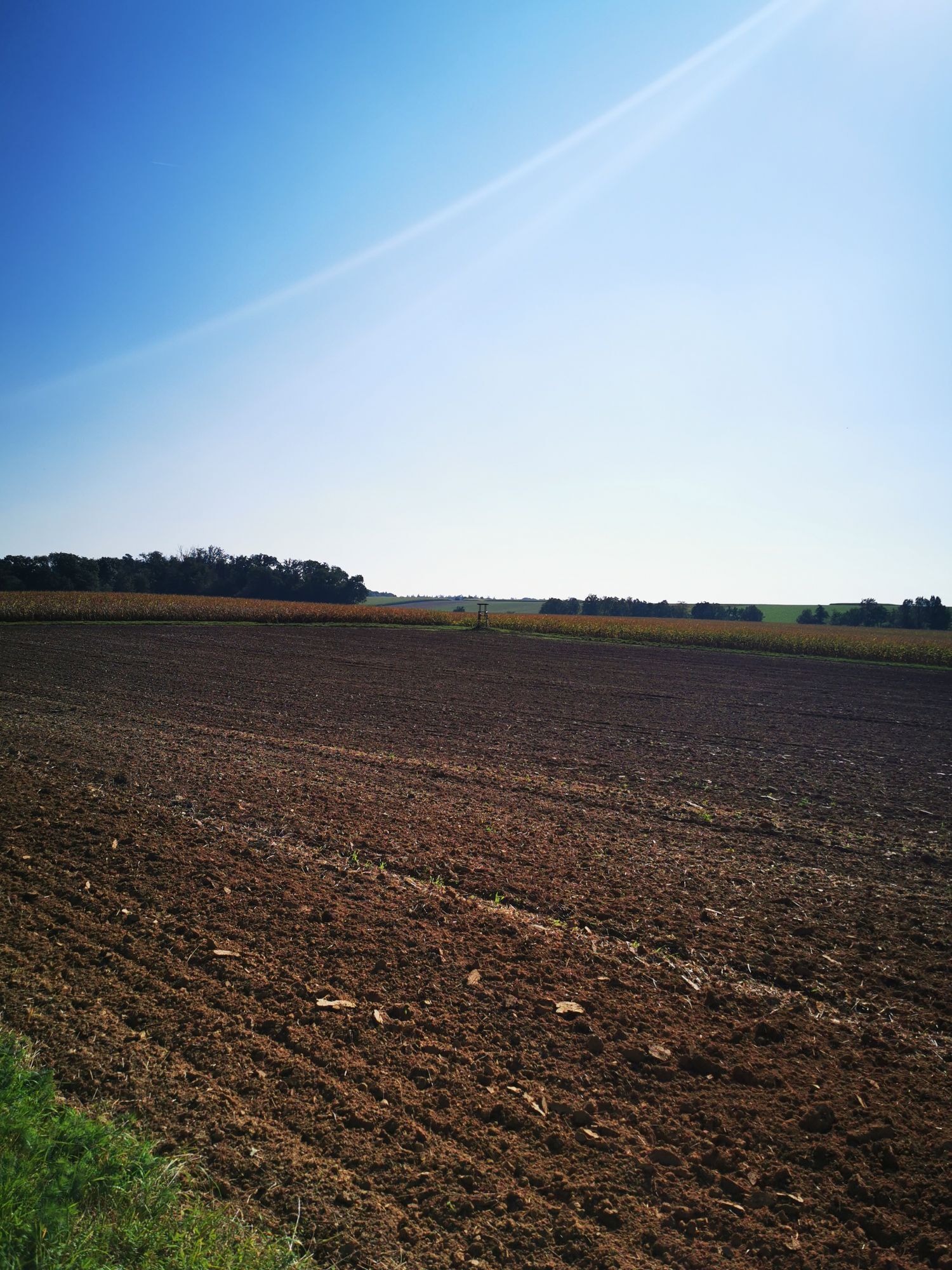
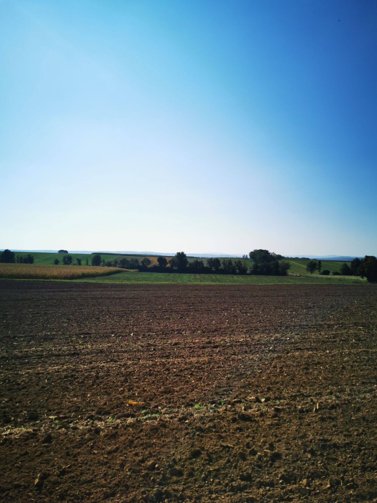
Sandy subsoil
Yes
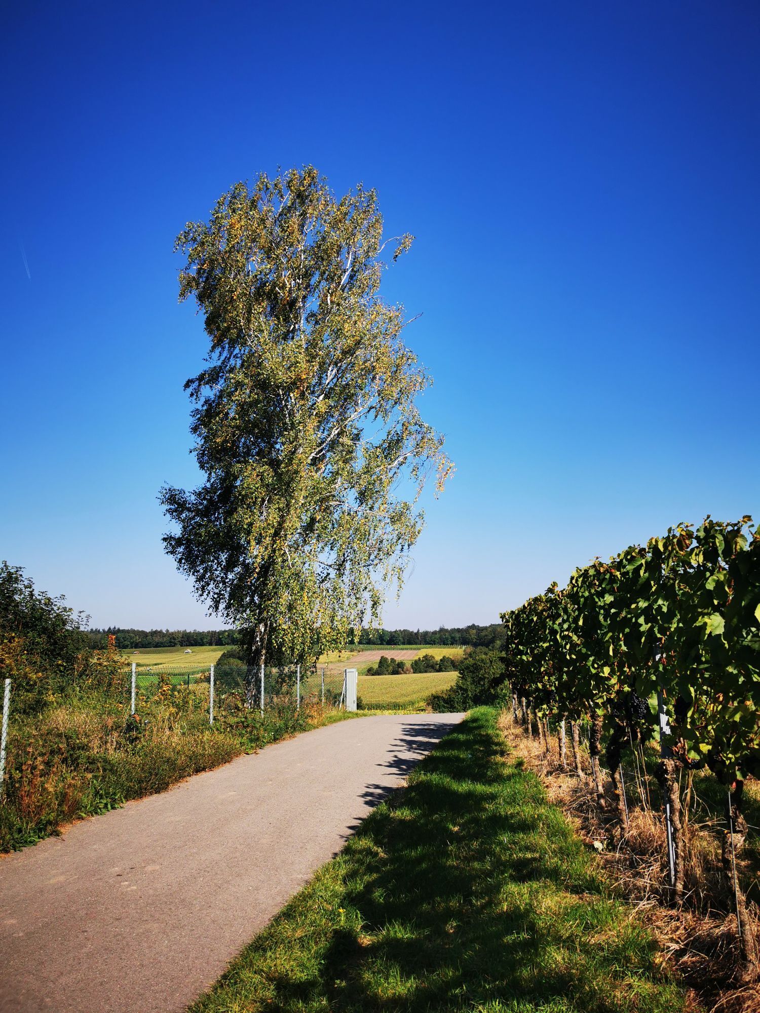
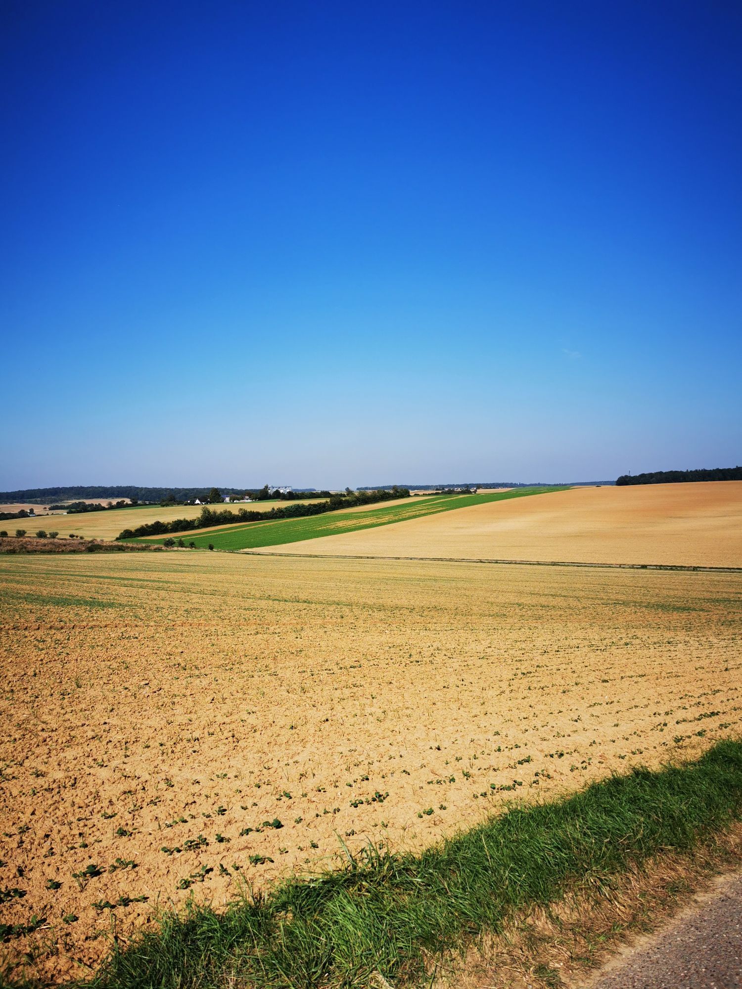
Beautiful view
Yes
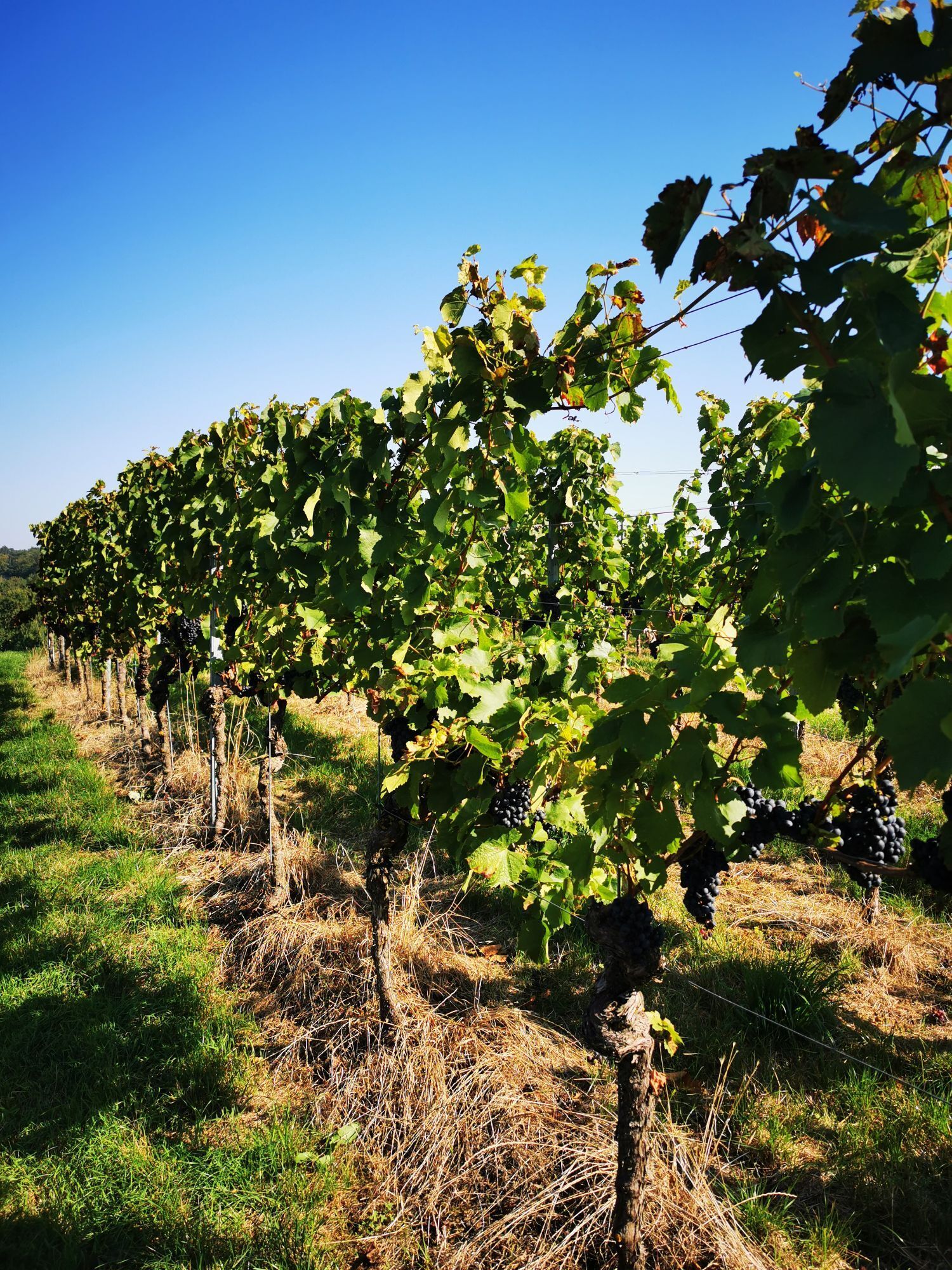
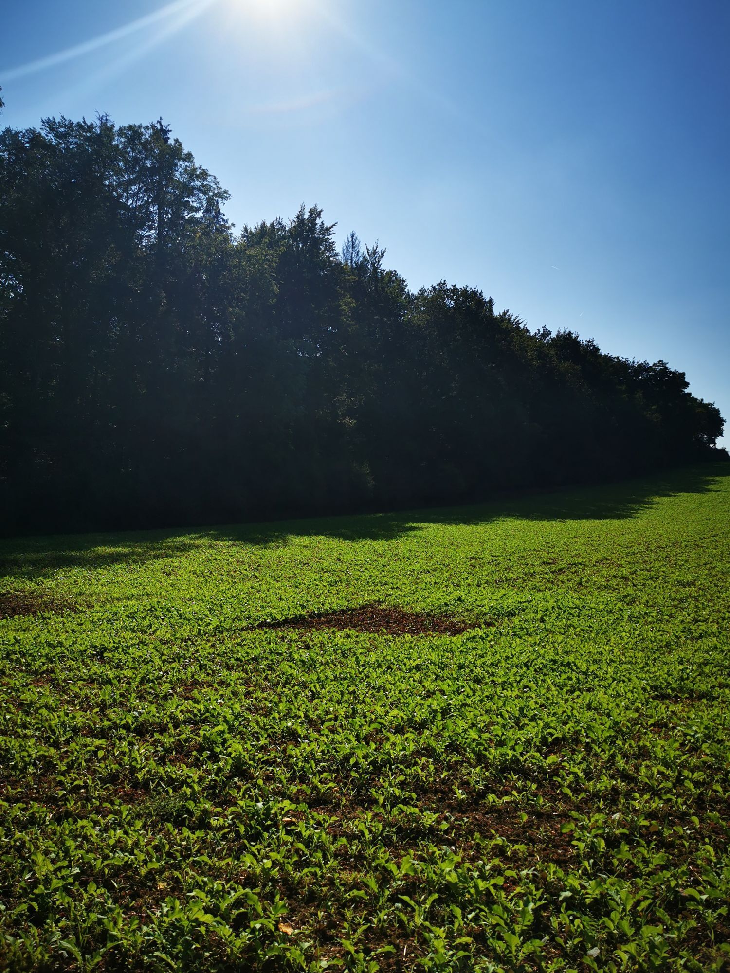
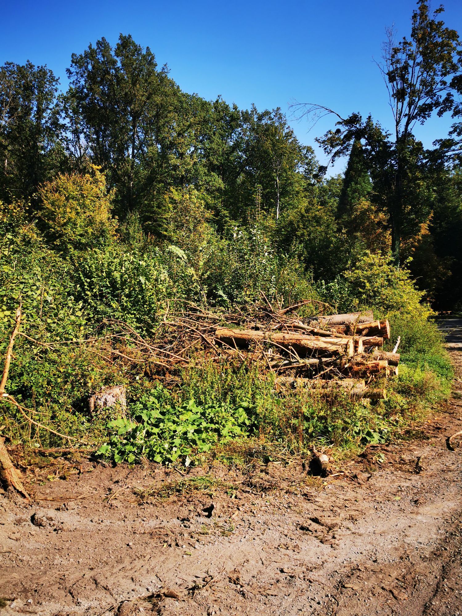
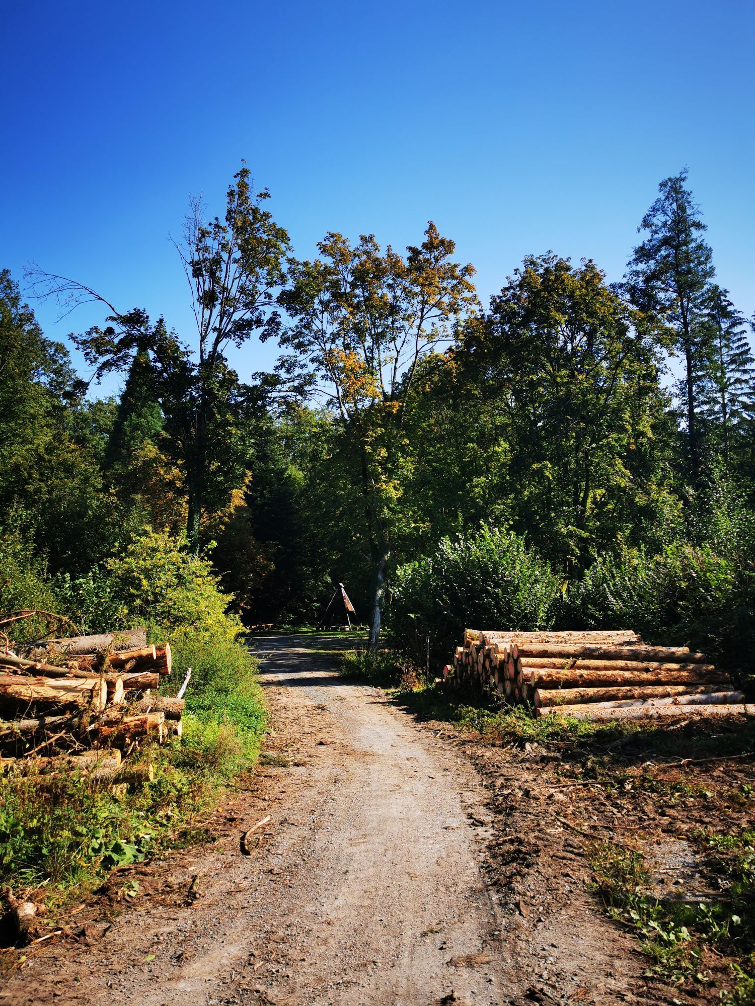
Forest area
Yes
Additional information & tips
All-round tyres
Yes
No reviews yet
Popular tours in the neighbourhood
-
Naturparke-Gravel-Crossing Tag 3 - Von Heilbronn nach Mühlacker
mediumBicikl s šljunkom 61,8 km -
5,0
Eppingen-Elsenz-Kapelle ( Tiefenb.)-Landshsn.-Eppingen
mediumE bicikl 33,2 km -
4,0
Von Sinsheim nach Stetten am Heuchelberg (Schwaigern) #LL2ROM_E017
mediumPješačenje 22,0 km -
Eppingen, Elsenzer See , Kreuzbergesee. Kreuzbergkapelle
mediumVozi bicikl 25,8 km -
5,0
Eppinger Linie bei Eppingen ( Teilstrecke )
heavyE bicikl 24,9 km -
4,0
Von Stetten am Heuchelberg (bei Schwaigern) nach Besigheim #LL2ROM_E018
mediumPješačenje 22,4 km -
Eppingen, Rohrbach, Elsenz, Hilsbacher Tal, Eppingen
lightE bicikl 21,3 km -
4,0
Eppingen, Eichelberg, Elsenz, Eppingen
mediumE bicikl 31,6 km -
4,0
Eppingen, Mühlbach,Eppingen
mediumE bicikl 19,0 km -
Eppingen/ Mühlbach/ Eppingen
lightE bicikl 25,2 km
bergfex Tours

Over 550.000 tour suggestions, detailed maps and an intuitive route planner make the app a must-have for all nature enthusiasts.

Ne propustite ponude i inspiraciju za vaš sljedeći odmor
Subscribe to the newsletter
Error
An error has occurred. Please try again.
Thank you for your registration
Your e-mail address has been added to the mailing list.
Tours throughout Europe
Austrija
Švicarska
Njemačka
Italija
Slovenija
Francuska
Nizozemska
Belgija
Poljska
Lihtenštajn
Češka
Slovačka
Španija
Hrvatska
Bosna i Hercegovina
Luksemburg
Andora
Portugal
Island
Ujedinjeno Kraljevstvo
Irska
Grčka
Albanija
Sjeverna Makedonija
Malta
Norveška
Crna Gora
Moldova
Kosovo
Mađarska
San Marino
Rumunjska
Estonija
Latvija
Bjelorusija
Cipar
Litva
Srbija
Bugarska
Monako
Danska
Švedska
Finska