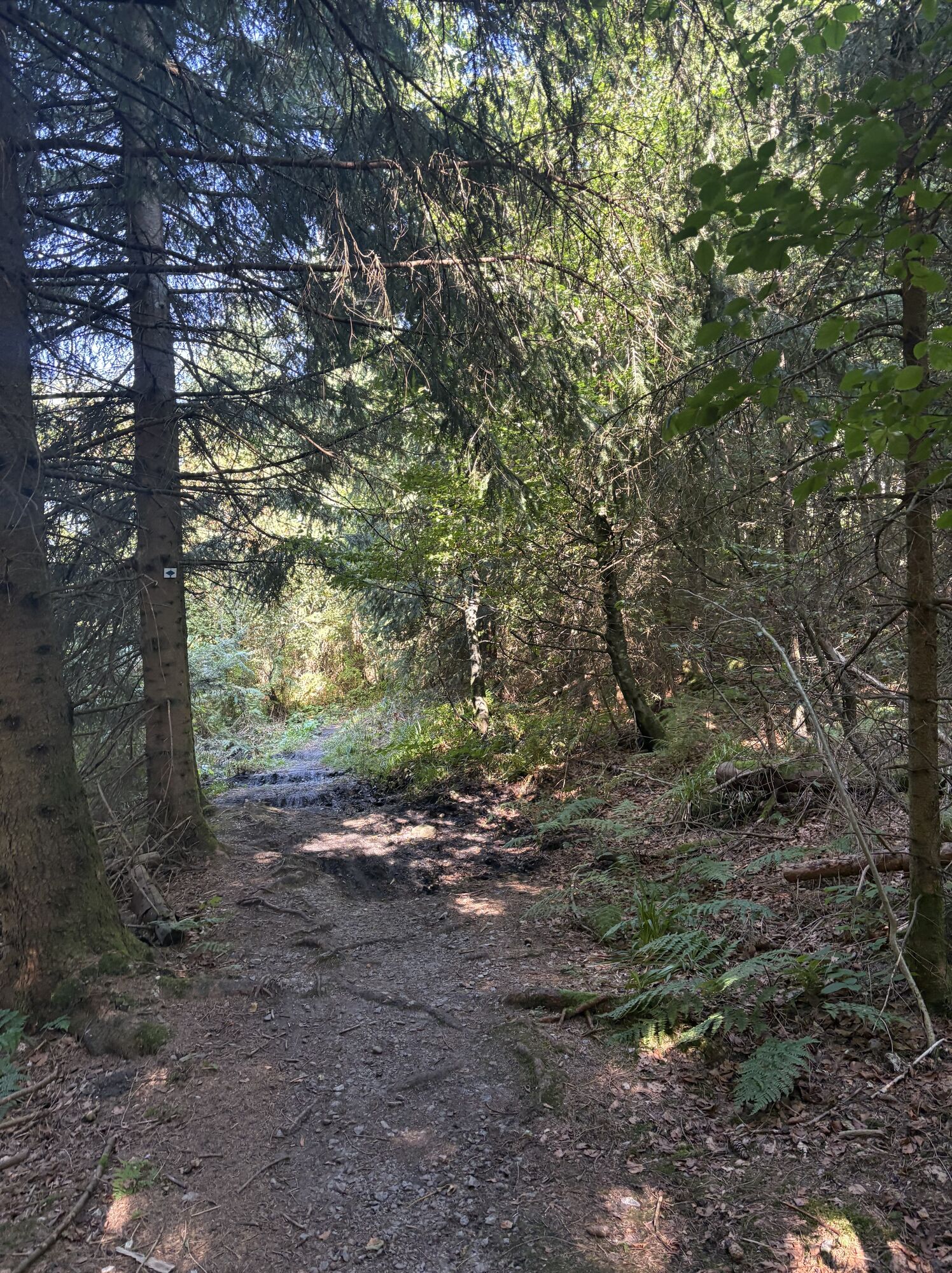
Obere Bettelmannskopfloipe
Pješačenje
Navigate
Navigate
Get this tour on your mobile
Obere Bettelmannskopfloipe
Pješačenje
14,00
km
Scan the QR code and start navigation in the bergfex app

Hiking & Tracking


Distance
14,00
km
Duration
03:30
h
Ascent
87
m
Sea level
882 -
988
m
Track download
Obere Bettelmannskopfloipe
Pješačenje
14,00
km


Route
Bauernschänke
(932 m)
Restaurant
0,0 km
Zur großen Tanne
(930 m)
Restaurant
0,0 km
Unterstmatt
(930 m)
Settlement
0,0 km
Hochkopfstub
(939 m)
Restaurant
0,2 km
Bettelmannskopf
(1.023 m)
Summit
3,8 km
Unterstmatt
(930 m)
Settlement
13,9 km
Zur großen Tanne
(930 m)
Restaurant
13,9 km
Route
Obere Bettelmannskopfloipe
Pješačenje
14,00
km
Bauernschänke
(932 m)
Restaurant
0,0 km
Zur großen Tanne
(930 m)
Restaurant
0,0 km
Unterstmatt
(930 m)
Settlement
0,0 km
Hochkopfstub
(939 m)
Restaurant
0,2 km
Bettelmannskopf
(1.023 m)
Summit
3,8 km
Unterstmatt
(930 m)
Settlement
13,9 km
Zur großen Tanne
(930 m)
Restaurant
13,9 km

No reviews yet
Popular tours in the neighbourhood
-
4,0
Gertelbacher Wasserfälle
heavyPješačenje 18 km -
5,0
Bannwald-Tour
Pješačenje 13,3 km -
4,5
Baiersbronn Sky Route: Bannwald Tour
heavyPješačenje 13,2 km -
5,0
Schnapsbrunnenweg 1
lightPješačenje 7,45 km -
4,2
Schnapsbrunnenweg 2
mediumPješačenje 12,8 km -
4,0
Seibelseckle Wildsee
mediumPješačenje 13,0 km -
4,3
Lautenbacher Hexensteig
heavyPješačenje 15,3 km -
Ruhestein - Schliffkopf - Ruhestein
mediumPješačenje 9,95 km -
4,0
Eiszeit-Tour
Pješačenje 11,7 km -
4,0
Genießer-Tour
Pješačenje 17,2 km

bergfex Tours

Over 550.000 tour suggestions, detailed maps and an intuitive route planner make the app a must-have for all nature enthusiasts.

Ne propustite ponude i inspiraciju za vaš sljedeći odmor
Subscribe to the newsletter
Error
An error has occurred. Please try again.
Thank you for your registration
Your e-mail address has been added to the mailing list.
Tours throughout Europe
Austrija
Švicarska
Njemačka
Italija
Slovenija
Francuska
Nizozemska
Belgija
Poljska
Lihtenštajn
Češka
Slovačka
Španija
Hrvatska
Bosna i Hercegovina
Luksemburg
Andora
Portugal
Island
Ujedinjeno Kraljevstvo
Irska
Grčka
Albanija
Sjeverna Makedonija
Malta
Norveška
Crna Gora
Moldova
Kosovo
Mađarska
San Marino
Rumunjska
Estonija
Latvija
Bjelorusija
Cipar
Litva
Srbija
Bugarska
Monako
Danska
Švedska
Finska