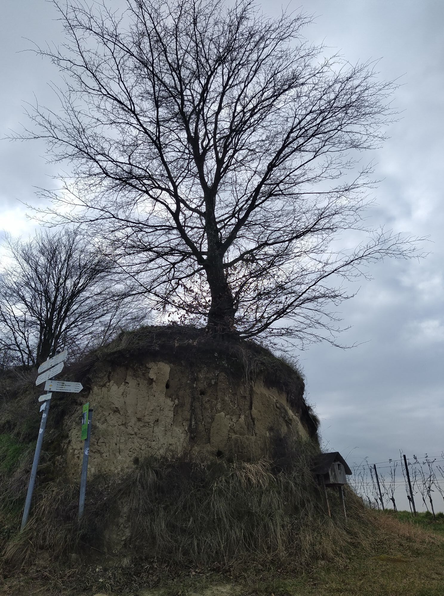
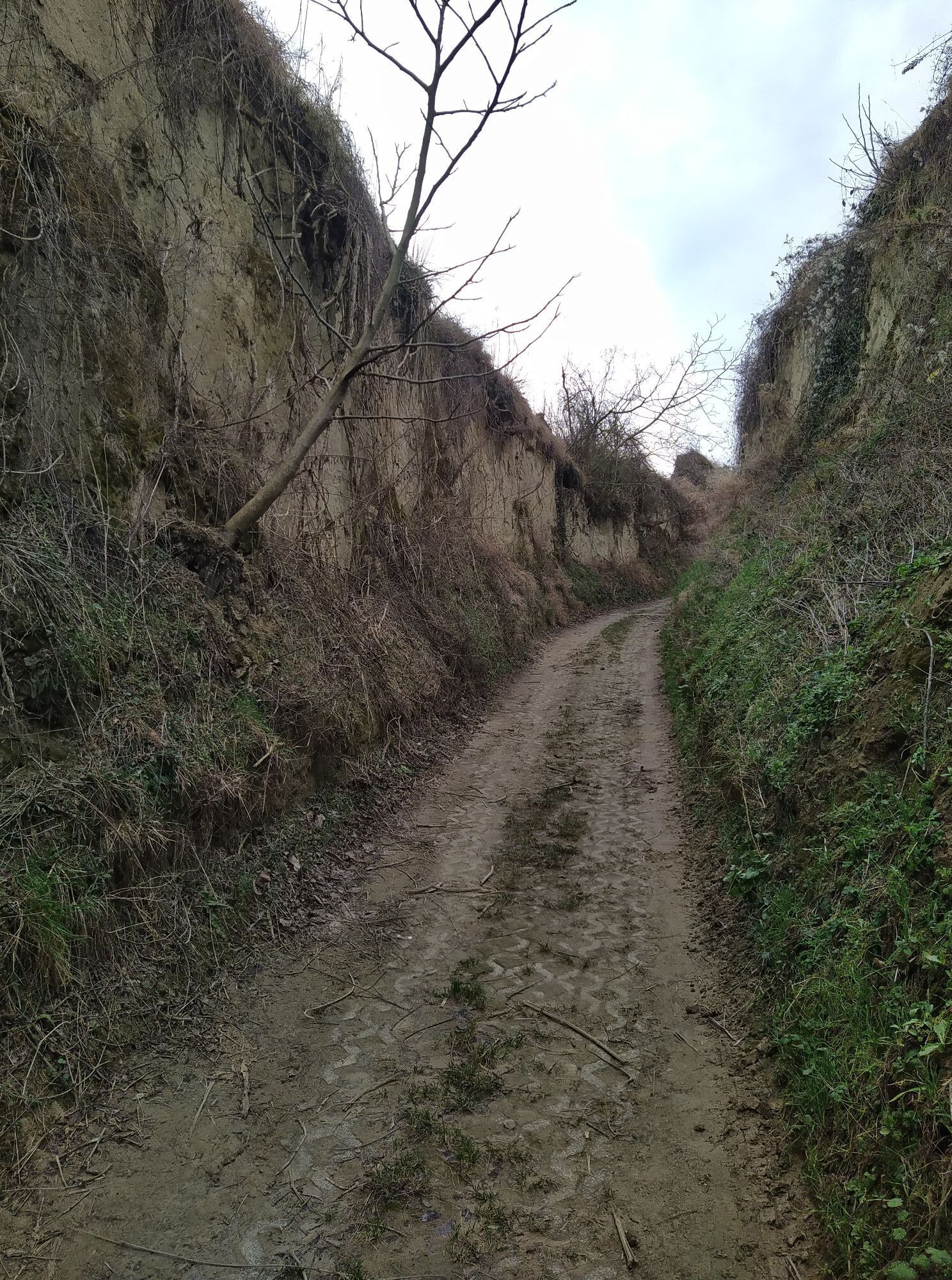
Bickensohl - Bitzenberg - Rischbuhl - Halbuck
medium
Navigate
Navigate
Get this tour on your mobile
Bickensohl - Bitzenberg - Rischbuhl - Halbuck
medium
Pješačenje
7,90
km
Scan the QR code and start navigation in the bergfex app

Hiking & Tracking


Distance
7,90
km
Duration
02:20
h
Ascent
320
m
Sea level
246 -
428
m
Track download
Bickensohl - Bitzenberg - Rischbuhl - Halbuck
medium
Pješačenje
7,90
km


Route
Rischbuhl
(365 m)
Summit
2,1 km
Halbuck
(371 m)
Summit
3,8 km
Kaiserstuhl - Totenkopf
(402 m)
Viewpoint
5,6 km
Bickensohl
(266 m)
Village
7,0 km
Route
Bickensohl - Bitzenberg - Rischbuhl - Halbuck
medium
Pješačenje
7,90
km
Bickensohl - Kaiserstuhl
(331 m)
Viewpoint
1,2 km
Bitzenberg
(357 m)
Summit
1,3 km
Rischbuhl
(365 m)
Summit
2,1 km
Halbuck
(371 m)
Summit
3,8 km
Weinberge
(388 m)
Viewpoint
5,3 km
Kaiserstuhl - Totenkopf
(402 m)
Viewpoint
5,6 km
Vogesenblick
(405 m)
Viewpoint
5,6 km
Bickensohl
(266 m)
Village
7,0 km
Hotel Rebstock
(264 m)
Restaurant
7,1 km
Valuations
5
(1)
4
(0)
3
(0)
2
(0)
1
(0)
Popular tours in the neighbourhood
-
4,0
Romantische Wanderung ab Ihringen
mediumPješačenje 11,2 km -
Oberbergen - Katharinenkapelle - Schelinger Höhe - Badberg (Rundweg)
mediumPješačenje 10,9 km -
3,0
Lössholwege und Hohlwege in der Eichgasse. Runde ab Achkarren.
mediumPješačenje 12,9 km -
Bicycle tour Neuf-Brisach to Breisach
lightVozi bicikl 17,8 km -
From the Alsace Wine Route to the Baden Wine Route
heavyMeđugradska biciklistička staza 401,6 km -
Breisach - Die Freilicht Galerie
lightŠetati 2,89 km -
1,0
Kleine Tunibergrunde
lightPješačenje 9,36 km -
Bicycle tour from Neuf-Brisach to Artzenheim - Rhône au Rhin
lightVozi bicikl 29,4 km -
Megamarsch Freiburg 2021
mediumPješačenje 49,6 km -
Niederrimsingen - Gottenheim: Burgunderpfad
mediumPješačenje 13,2 km
bergfex Tours

Over 550.000 tour suggestions, detailed maps and an intuitive route planner make the app a must-have for all nature enthusiasts.

Ne propustite ponude i inspiraciju za vaš sljedeći odmor
Subscribe to the newsletter
Error
An error has occurred. Please try again.
Thank you for your registration
Your e-mail address has been added to the mailing list.
Tours throughout Europe
Austrija
Švicarska
Njemačka
Italija
Slovenija
Francuska
Nizozemska
Belgija
Poljska
Lihtenštajn
Češka
Slovačka
Španija
Hrvatska
Bosna i Hercegovina
Luksemburg
Andora
Portugal
Island
Ujedinjeno Kraljevstvo
Irska
Grčka
Albanija
Sjeverna Makedonija
Malta
Norveška
Crna Gora
Moldova
Kosovo
Mađarska
San Marino
Rumunjska
Estonija
Latvija
Bjelorusija
Cipar
Litva
Srbija
Bugarska
Monako
Danska
Švedska
Finska