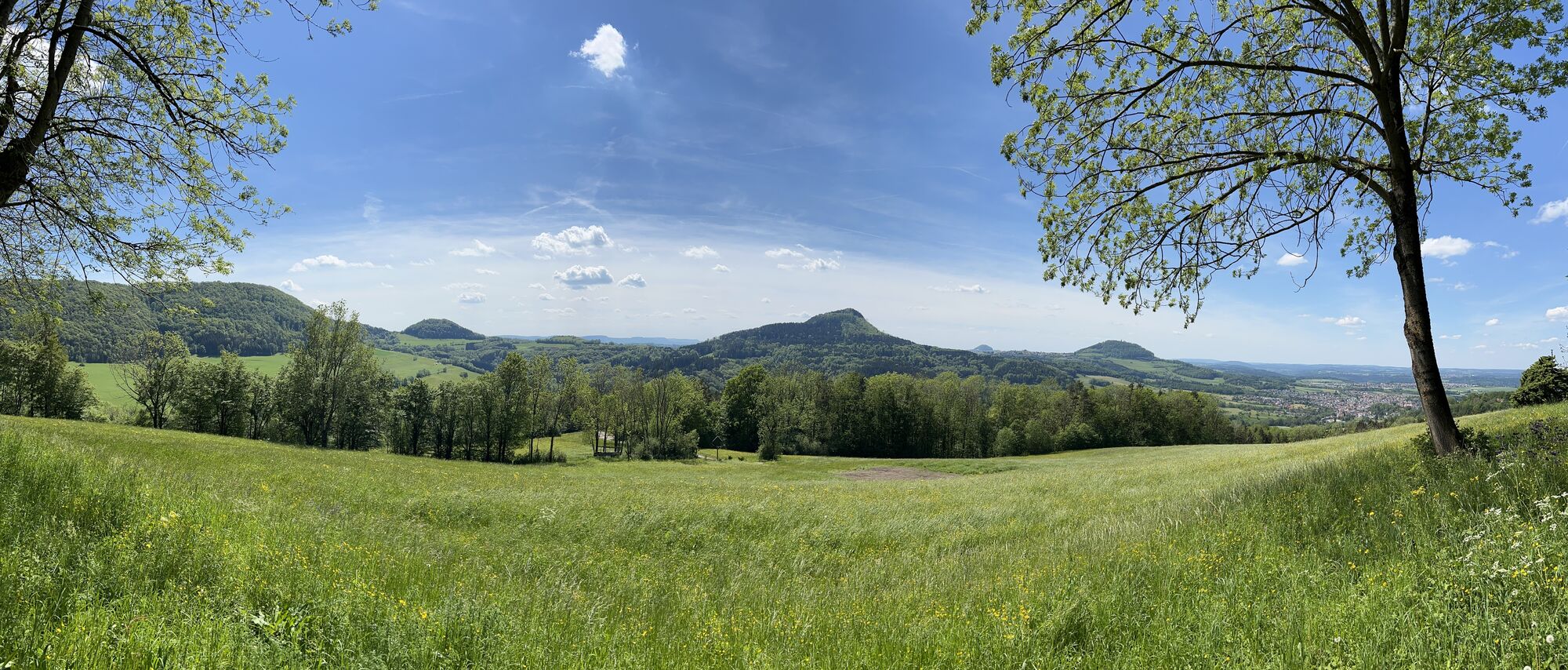
Weilerstoffel - Schönberg - Franz-Keller-Haus - Kaltes Feld
medium
Navigate
Navigate
Get this tour on your mobile
Weilerstoffel - Schönberg - Franz-Keller-Haus - Kaltes Feld
medium
Pješačenje
16,09
km
Scan the QR code and start navigation in the bergfex app

Hiking & Tracking


Distance
16,09
km
Duration
04:39
h
Ascent
674
m
Sea level
444 -
781
m
Track download
Weilerstoffel - Schönberg - Franz-Keller-Haus - Kaltes Feld
medium
Pješačenje
16,09
km


Route
Weilerstoffel
(443 m)
Village
0,0 km
Schönberg
(629 m)
Summit
2,1 km
Reiterleskapelle
(643 m)
Place of worship
2,9 km
Steinbühl
(765 m)
Corridor/terrain
11,4 km
Franz-Keller-Haus
(782 m)
Shelter
12,4 km
Kaltes Feld
(781 m)
Summit
12,4 km
Hornberg
(684 m)
Settlement
14,2 km
Route
Weilerstoffel
(443 m)
Village
0,0 km
Schönberg
(629 m)
Summit
2,1 km
Reiterleskapelle
(643 m)
Place of worship
2,9 km
Bergwachthütte
(719 m)
Restaurant
10,4 km
Steinbühl
(765 m)
Corridor/terrain
11,4 km
Knörzerhaus
(773 m)
Restaurant
11,6 km
Franz-Keller-Haus
(782 m)
Shelter
12,4 km
Kaltes Feld
(781 m)
Summit
12,4 km
Hornberg
(684 m)
Settlement
14,2 km
Weilerstoffel
(443 m)
Village
16,1 km
No reviews yet
Popular tours in the neighbourhood
-
4,9
Löwenpfad "Staufer-Runde" - Barbarossa's traces before a dreamlike backdrop
mediumPješačenje 11,3 km -
4,5
Löwenpfad "Weitblick-Tour" - Visoko i daleko
heavyPješačenje 12,0 km -
4,4
Löwenpfad "Geislinger Felsen-Tour" - Up and down through the Eybach valley
mediumPješačenje 10,9 km -
4,6
Löwenpfad "Orchideenpfad" - Herbs, pasqueflower and juniper heather
mediumPješačenje 9,33 km -
5,0
Löwenpfad "Heldentour" - The king stage of the Löwenpfade
heavyPješačenje 23,4 km -
5,0
Blicklestour Lauterstein
heavyPješačenje 13,8 km -
4,3
Löwenpfad "Steigen-Tour" - Along the Swabian century building
heavyPješačenje 17,2 km -
1,0
Drei-Kaiserberge circular route
heavyPješačenje 25,7 km -
Löwenpfad "Spielburg-Runde" - Around the mountain Hohenstaufen
lightPješačenje 3,53 km -
Lautertal route
heavyPješačenje 26,0 km
bergfex Tours

Over 550.000 tour suggestions, detailed maps and an intuitive route planner make the app a must-have for all nature enthusiasts.

Ne propustite ponude i inspiraciju za vaš sljedeći odmor
Subscribe to the newsletter
Error
An error has occurred. Please try again.
Thank you for your registration
Your e-mail address has been added to the mailing list.
Tours throughout Europe
Austrija
Švicarska
Njemačka
Italija
Slovenija
Francuska
Nizozemska
Belgija
Poljska
Lihtenštajn
Češka
Slovačka
Španija
Hrvatska
Bosna i Hercegovina
Luksemburg
Andora
Portugal
Island
Ujedinjeno Kraljevstvo
Irska
Grčka
Albanija
Sjeverna Makedonija
Malta
Norveška
Crna Gora
Moldova
Kosovo
Mađarska
San Marino
Rumunjska
Estonija
Latvija
Bjelorusija
Cipar
Litva
Srbija
Bugarska
Monako
Danska
Švedska
Finska