© Schaffhauserland Tourismus - Bruno Sternegg


© Schaffhauserland Tourismus - Switzerland Tourism / Ivo Scholz

© Schweiz Tourismus / Melanie Duchene - Melanie Duchene

© Schweiz Tourismus - Nicola Fuerer
- Kratak opis
-
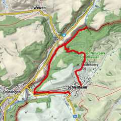
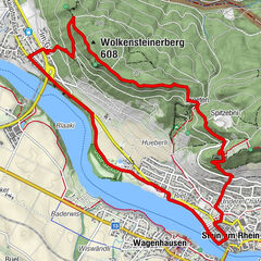
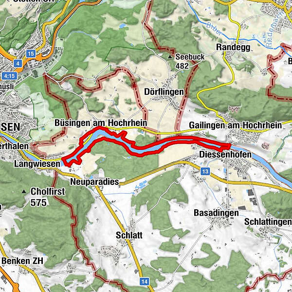
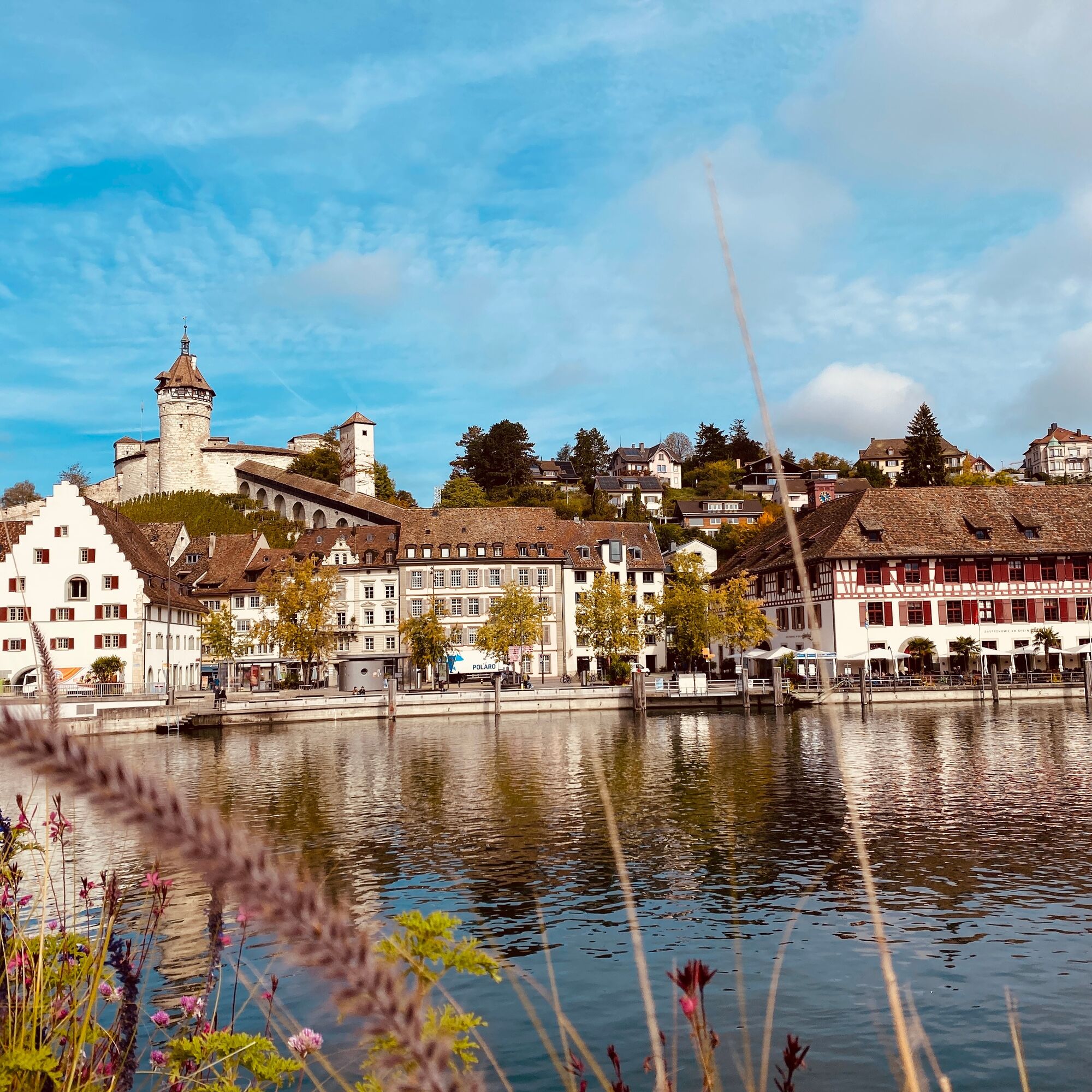
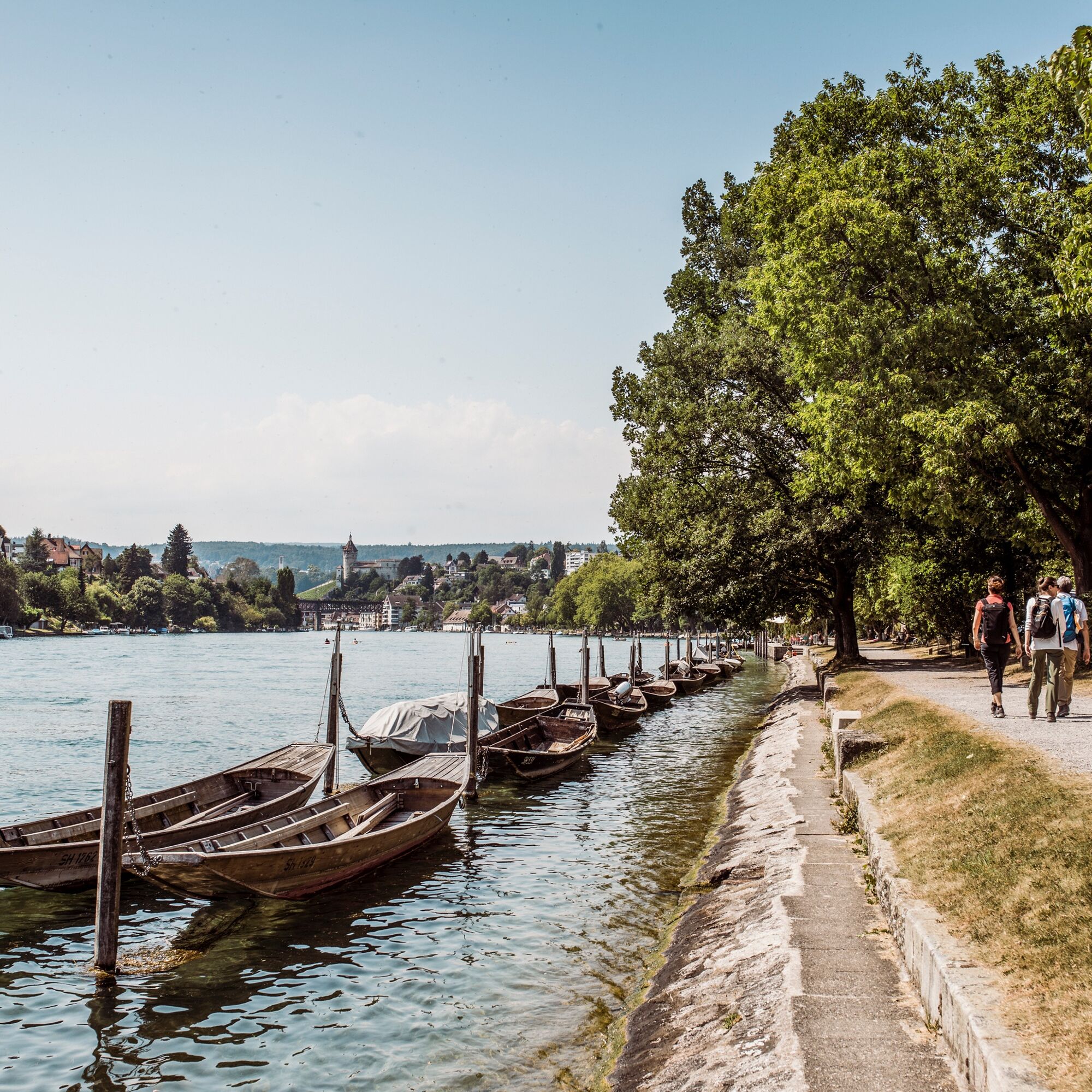
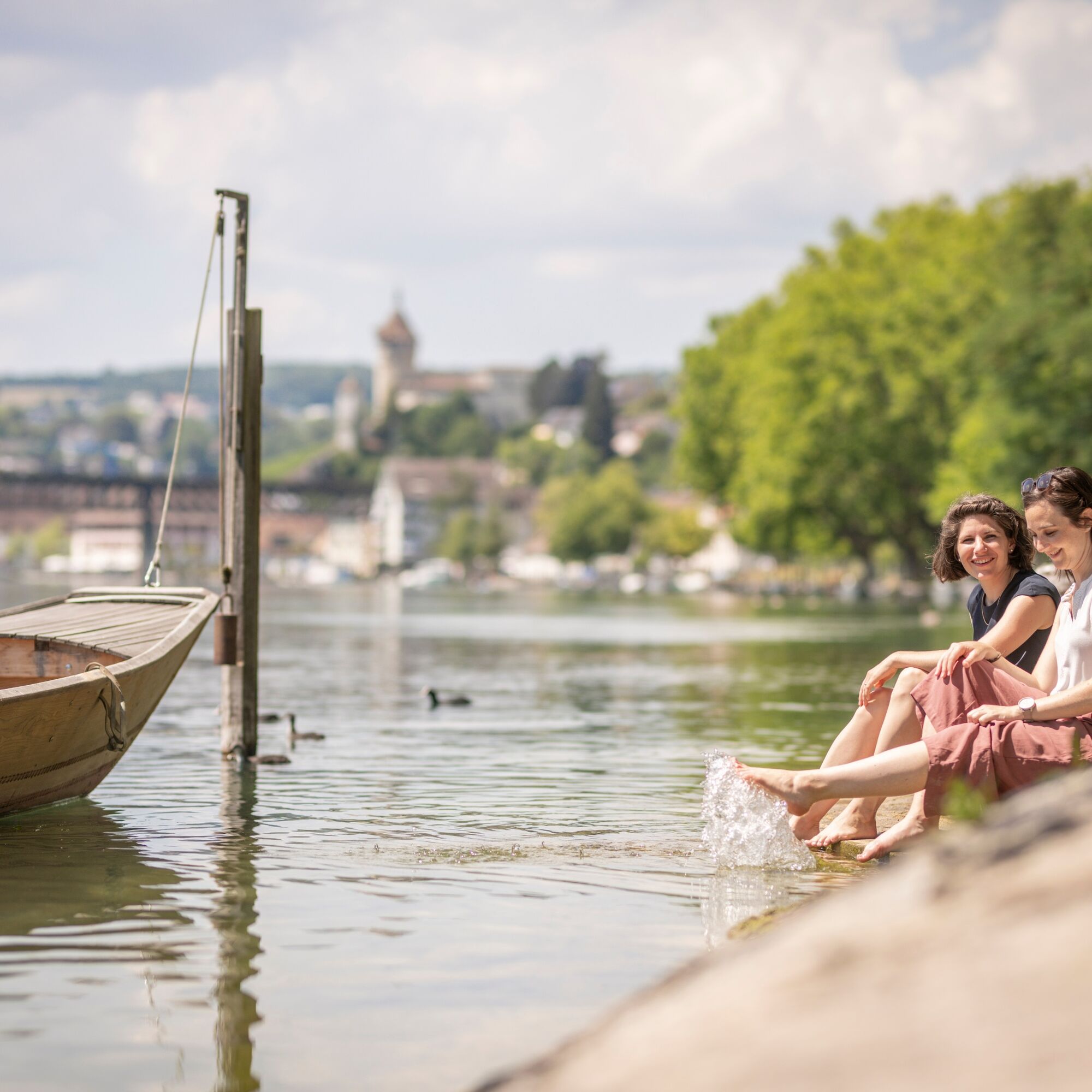
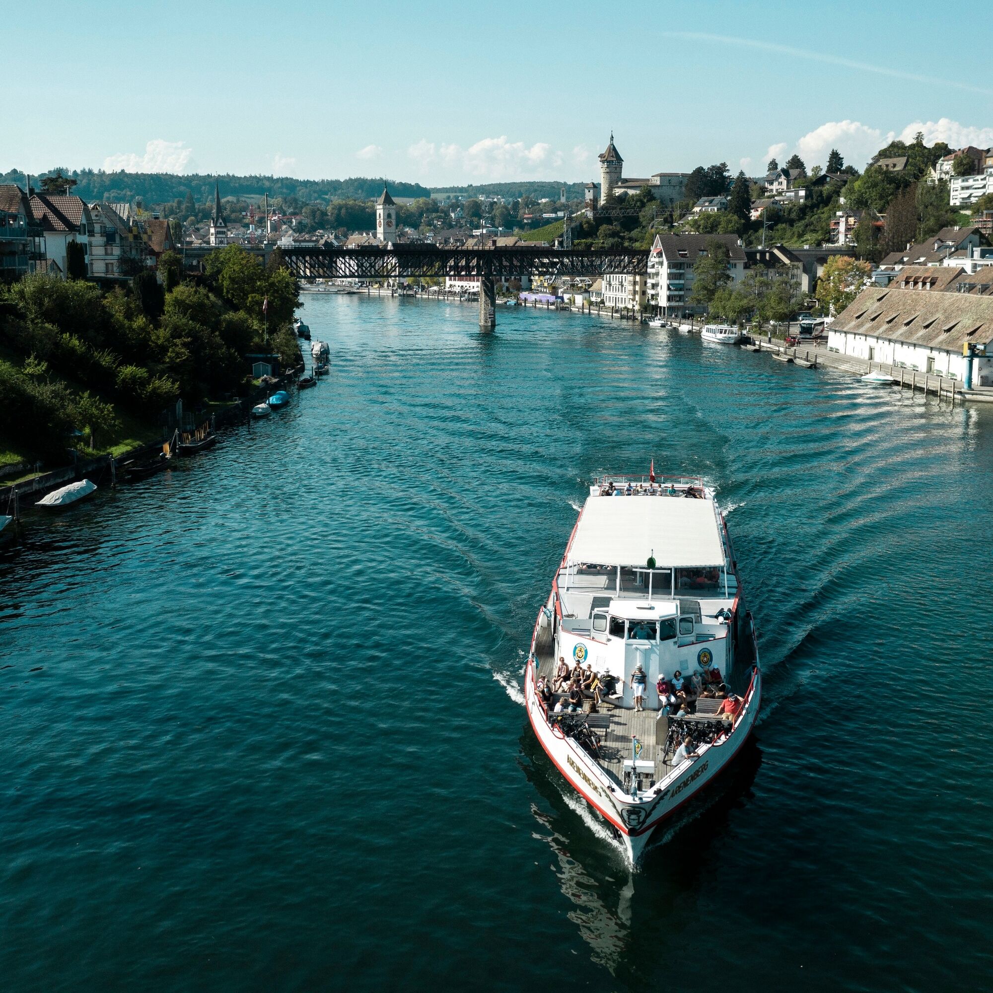
The circular hike with start and finish in Gailingen am Hochrhein takes you almost continuously along the German and Swiss sides of the Rhine.
- Teškoća
-
srednje
- Vrednovanje
-
- Wegverlauf
-
Diessenhofen (Schifflände) (413 m)0,2 kmReformierte Kirche St. Dionys0,2 kmD'Höll0,3 kmDiessenhofen0,4 kmSt. Katharinental1,2 kmObere Schaare4,7 kmBüsingen am Hochrhein (395 m)5,0 kmAltparadies7,0 kmParadies7,1 kmSchaffhausen (403 m)7,3 kmChüberbückli8,9 kmHotel Restaurant Alte Rheinmühle8,9 kmPizzeria La Gondola9,0 kmBüsingen am Hochrhein (395 m)9,1 kmEder9,2 kmDe Chällhof9,3 kmDorfkirche Büsingen9,3 kmBüsingen (400 m)9,6 kmNeubau Strandbad9,9 kmLido Büsingen9,9 kmStrudelbach10,2 kmRoss-schwämmi12,3 kmSt. Katharinental13,5 kmDiessenhofen14,6 km
- Beste Jahreszeit
-
sijveljožutrasvilipsrpkolrujlisstupro
- Höchster Punkt
- 407 m
- Zielpunkt
-
Gailingen - Rhine bridge
- Höhenprofil
-
 © outdooractive.com

- Autor
-
Die Tour Circular hike along the High Rhine wird von outdooractive.com bereitgestellt.
GPS Downloads


Opće informacije
Einkehrmöglichkeit
Weitere Touren in den Regionen
-
SchaffhauserLand
1027
-
Reiat
474
-
Büsingen am Hochrhein
183