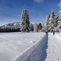
Wanderung
Pješačenje
Navigate
Navigate
Get this tour on your mobile
Wanderung
Pješačenje
20,00
km
Scan the QR code and start navigation in the bergfex app

Hiking & Tracking


Distance
20,00
km
Duration
01:50
h
Ascent
712
m
Sea level
270 -
901
m
Track download
Wanderung
Pješačenje
20,00
km


Route
Gengenbach
(179 m)
City
0,4 km
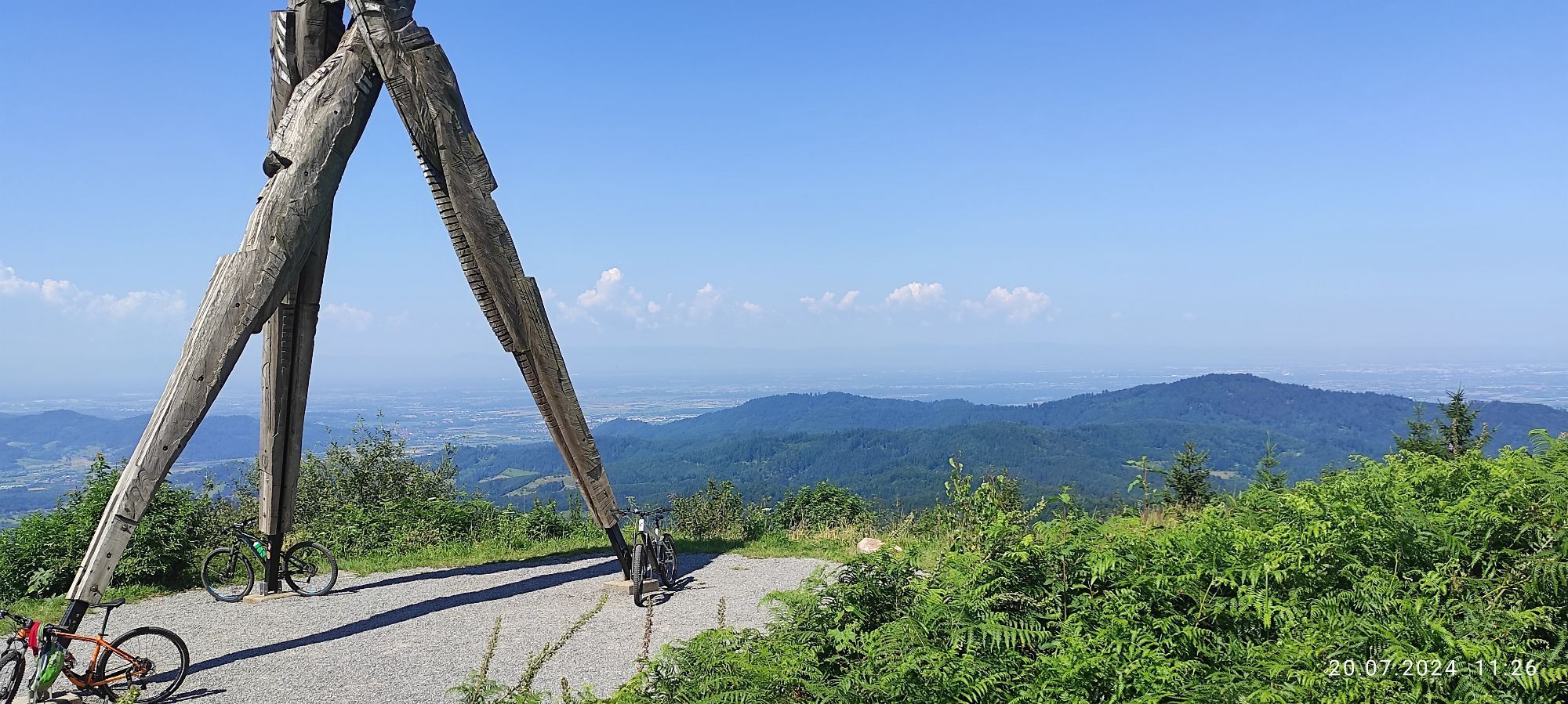
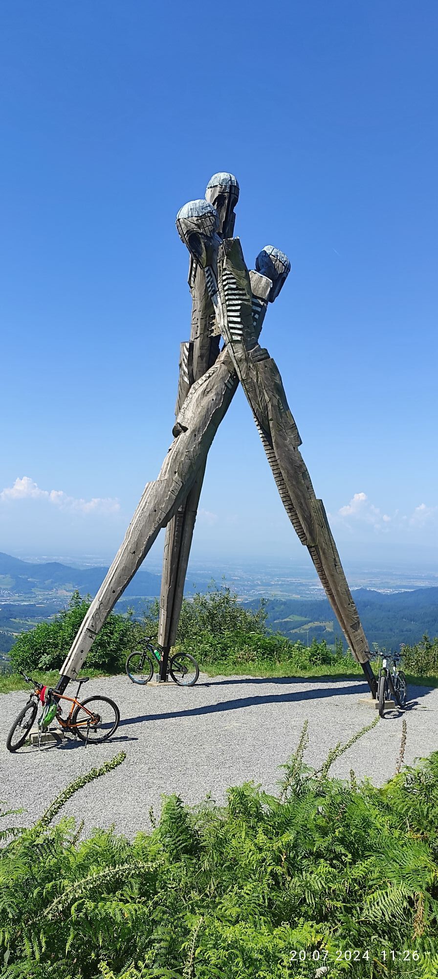
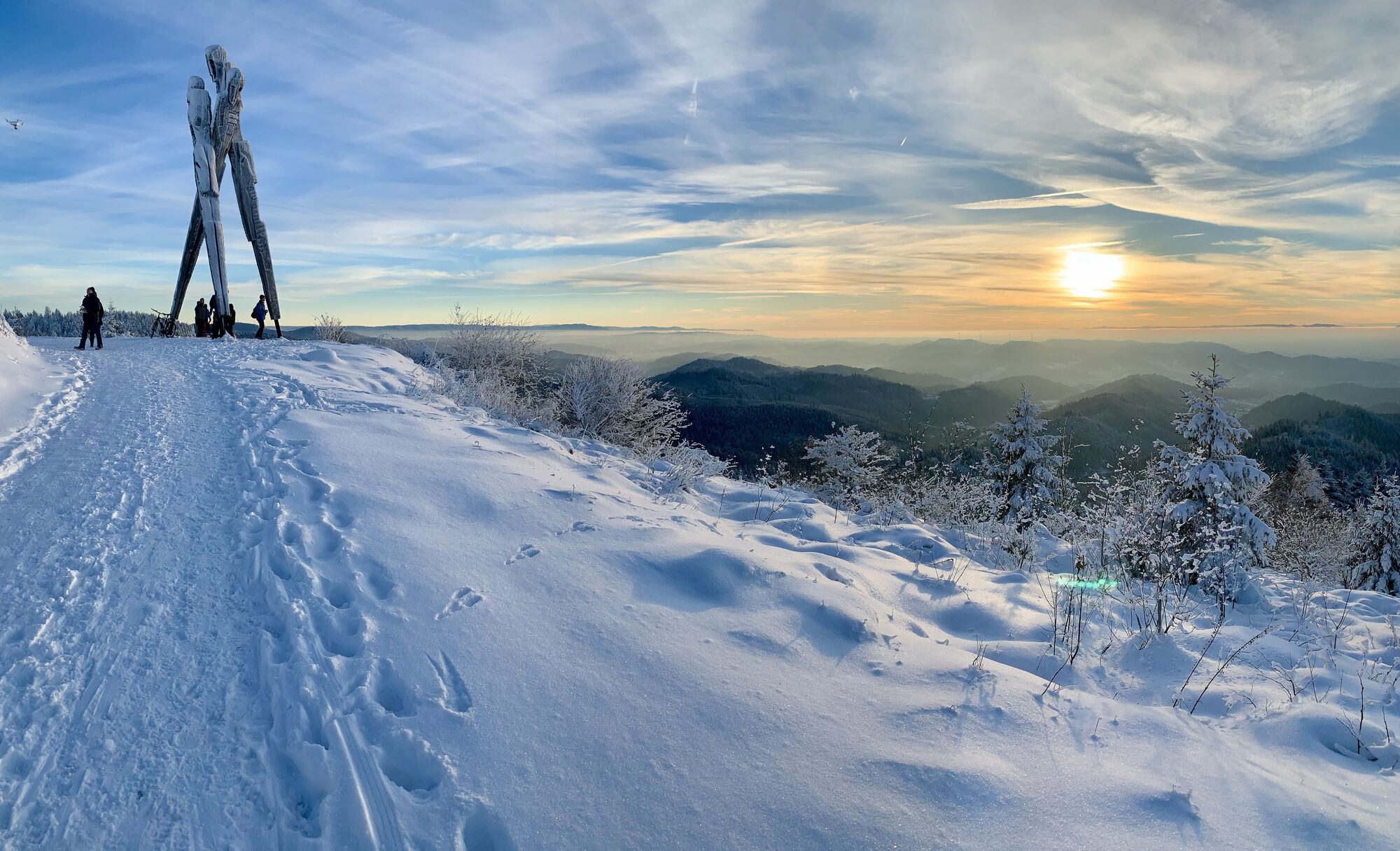
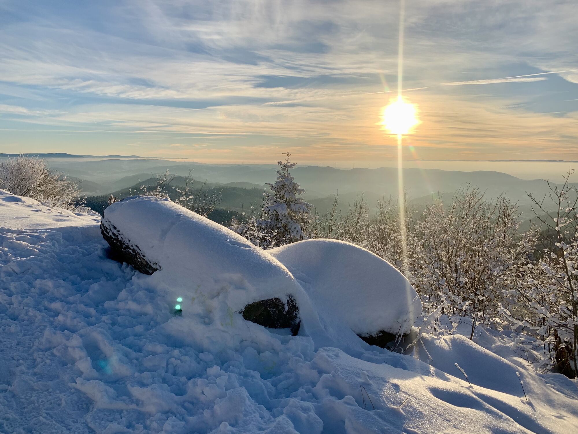
Lothar Denkmal
(853 m)
Viewpoint
10,1 km
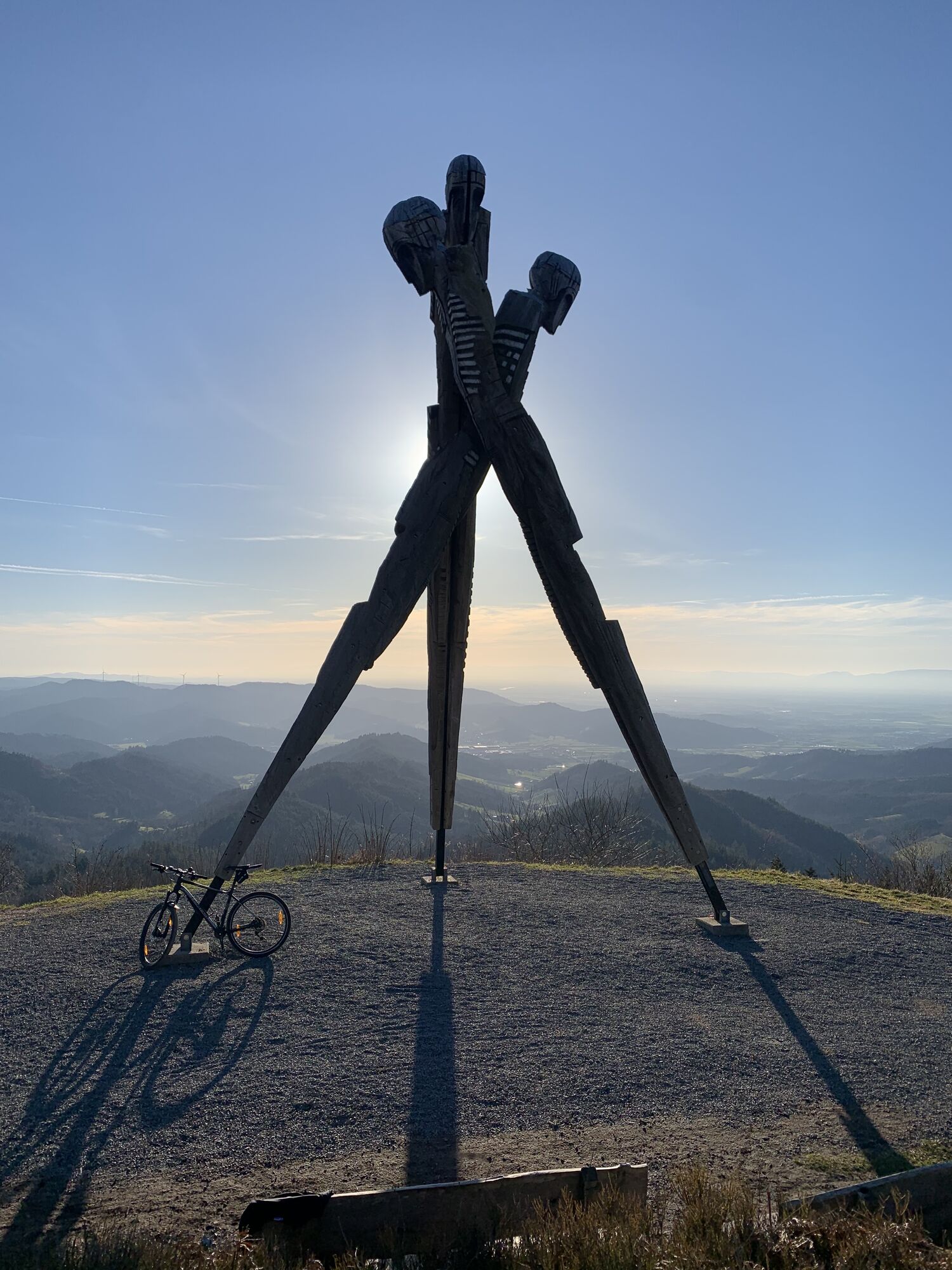
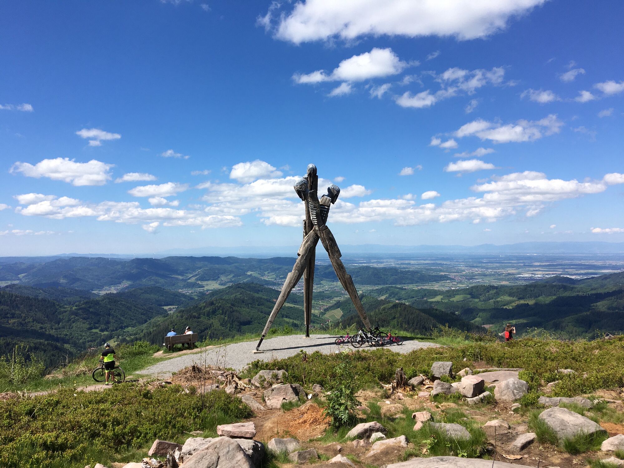
Siedigkopf
(877 m)
Summit
10,2 km
Spielplatz Kornebene
(636 m)
Playground
12,6 km
Dürren Brunnen
(637 m)
Source
12,6 km
Isenmannsruh
(487 m)
Corridor/terrain
16,2 km
Gengenbach
(179 m)
City
19,9 km
Route
Wanderung
Pješačenje
20,00
km
Gengenbach
(179 m)
City
0,4 km
Philosophenbrunnen
(278 m)
Source
0,6 km
Schage brunne
(429 m)
Source
3,0 km
Lothar Denkmal
(853 m)
Viewpoint
10,1 km
Siedigkopf
(877 m)
Summit
10,2 km
Spielplatz Kornebene
(636 m)
Playground
12,6 km
Dürren Brunnen
(637 m)
Source
12,6 km
Isenmannsruh
(487 m)
Corridor/terrain
16,2 km
Gengenbach
(179 m)
City
19,9 km
No reviews yet
Popular tours in the neighbourhood
-
4,8
Hahn und Henne Tour
mediumPješačenje 15,0 km -
4,2
Oberhamersbach Vesperweg
mediumPješačenje 14,5 km -
4,3
Lautenbacher Hexensteig
heavyPješačenje 15,3 km -
5,0
Genießerpfad - Hahn-und-Henne-Runde in Zell am Harmersbach (Premiumweg)
mediumTematska staza 14,0 km -
4,7
Bad Peterstal-Griesbach - Himmelssteig für "Höhenverliebte"
heavyPješačenje 10,3 km -
4,5
Bad Peterstal-Griesbach - Wiesensteig für "Genusssucher"
heavyPješačenje 13,5 km -
5,0
Lautenbacher Teufelsteig
mediumTematska staza 11,5 km -
Bad Peterstal-Griesbach: Hike to Buchkopftower Oppenau
lightPješačenje 5,03 km -
Renchtal Radtour 3 - Genußtour durch das Renchtal
heavyVozi bicikl 35,6 km -
Historischer Stadtbummel in Oberkirch
lightPješačenje 5,74 km
bergfex Tours

Over 550.000 tour suggestions, detailed maps and an intuitive route planner make the app a must-have for all nature enthusiasts.

Ne propustite ponude i inspiraciju za vaš sljedeći odmor
Subscribe to the newsletter
Error
An error has occurred. Please try again.
Thank you for your registration
Your e-mail address has been added to the mailing list.
Tours throughout Europe
Austrija
Švicarska
Njemačka
Italija
Slovenija
Francuska
Nizozemska
Belgija
Poljska
Lihtenštajn
Češka
Slovačka
Španija
Hrvatska
Bosna i Hercegovina
Luksemburg
Andora
Portugal
Island
Ujedinjeno Kraljevstvo
Irska
Grčka
Albanija
Sjeverna Makedonija
Malta
Norveška
Crna Gora
Moldova
Kosovo
Mađarska
San Marino
Rumunjska
Estonija
Latvija
Bjelorusija
Cipar
Litva
Srbija
Bugarska
Monako
Danska
Švedska
Finska