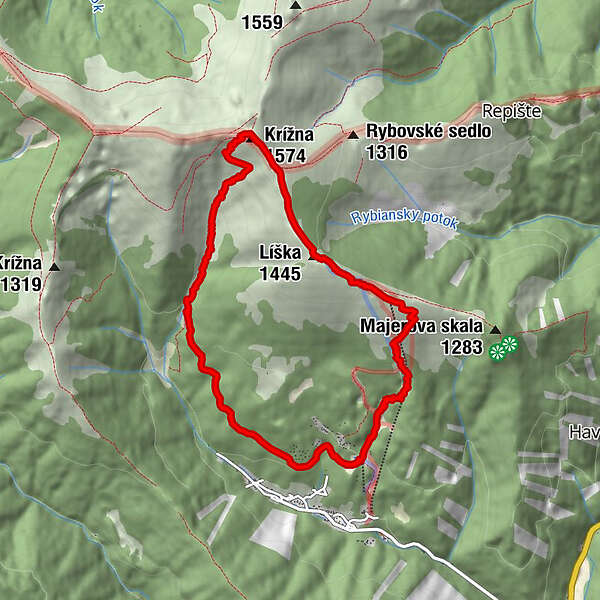
Podaci o ruti
9,6km
751
- 1.569m
819hm
842hm
03:19h
- Kratak opis
-
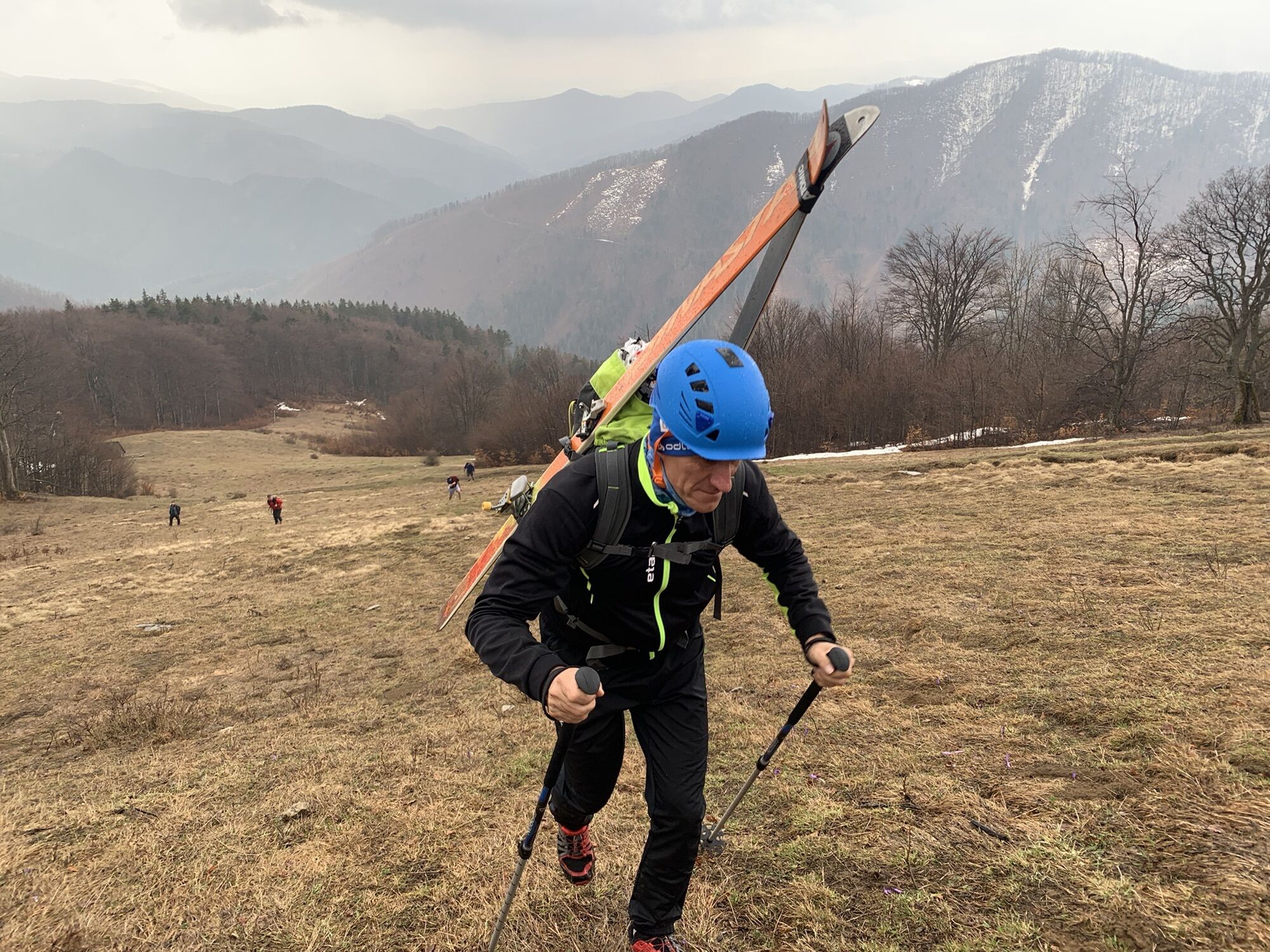
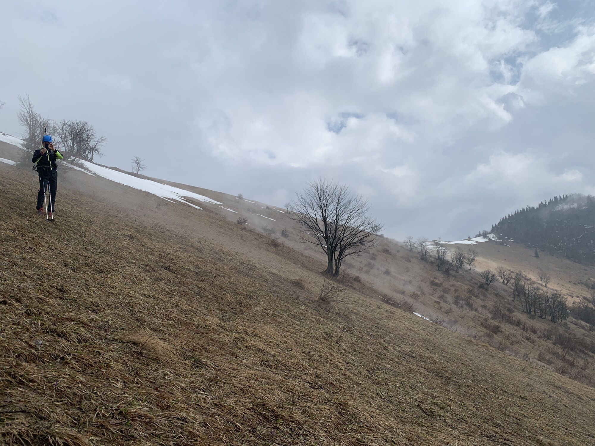
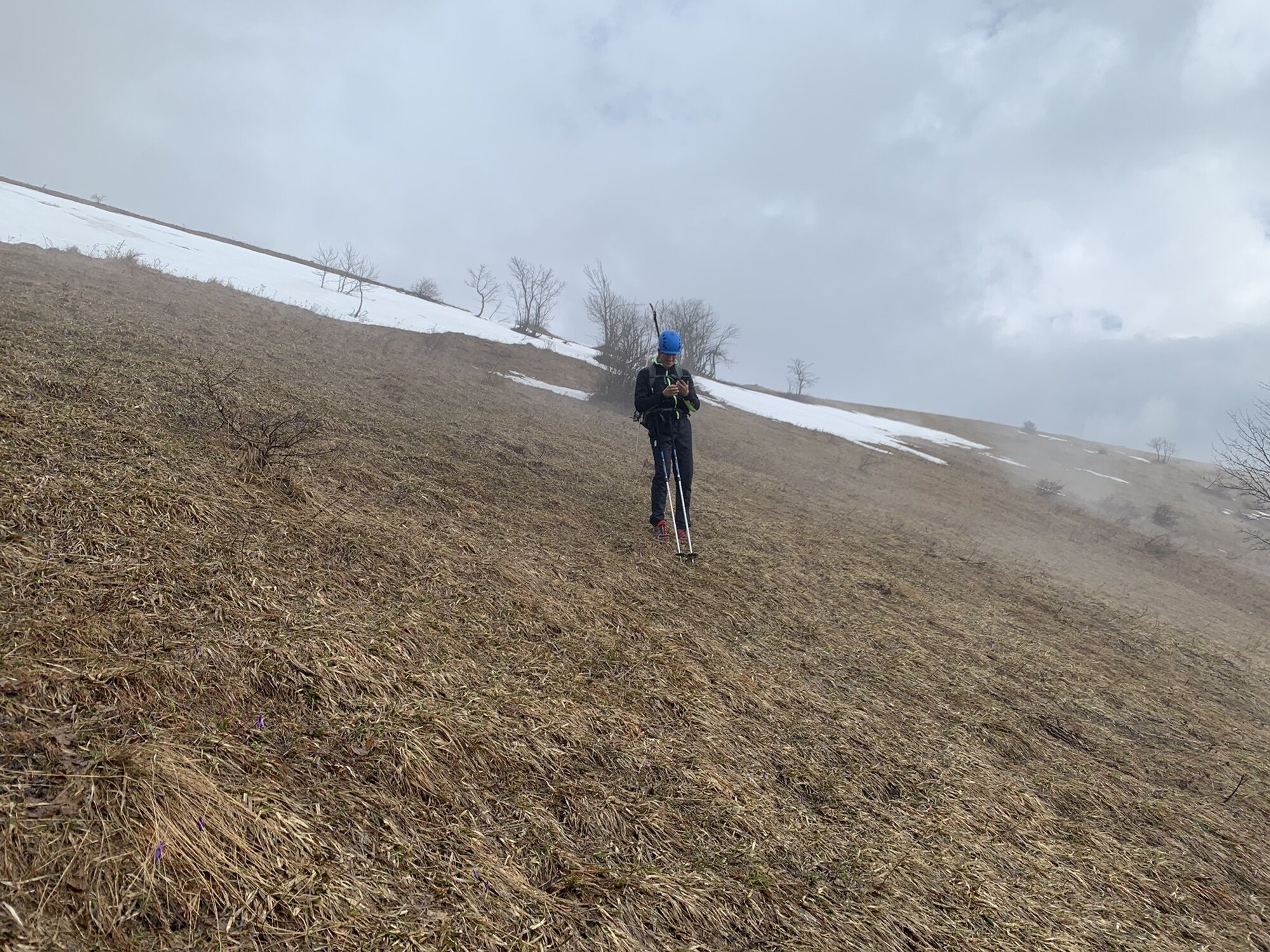
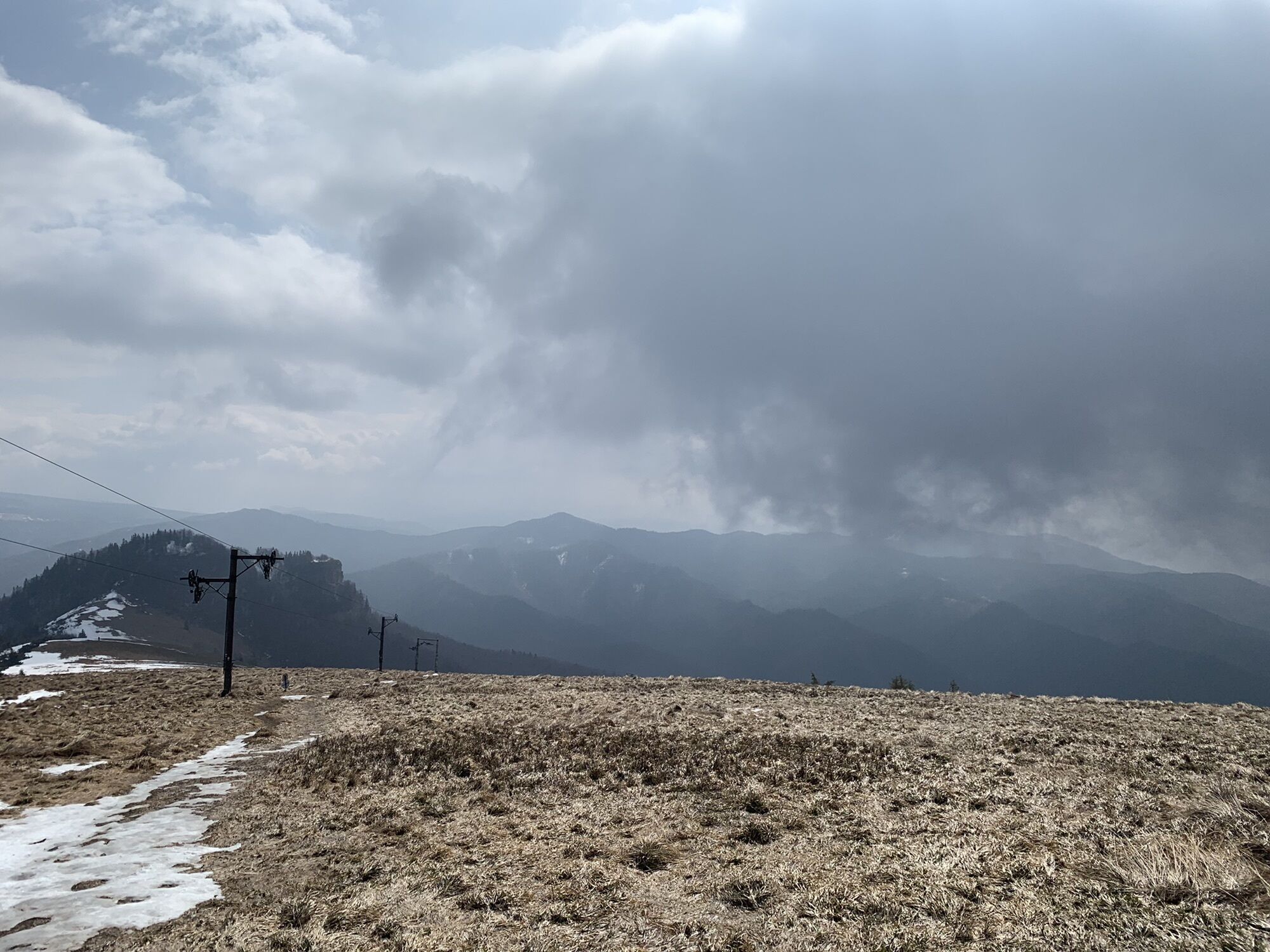
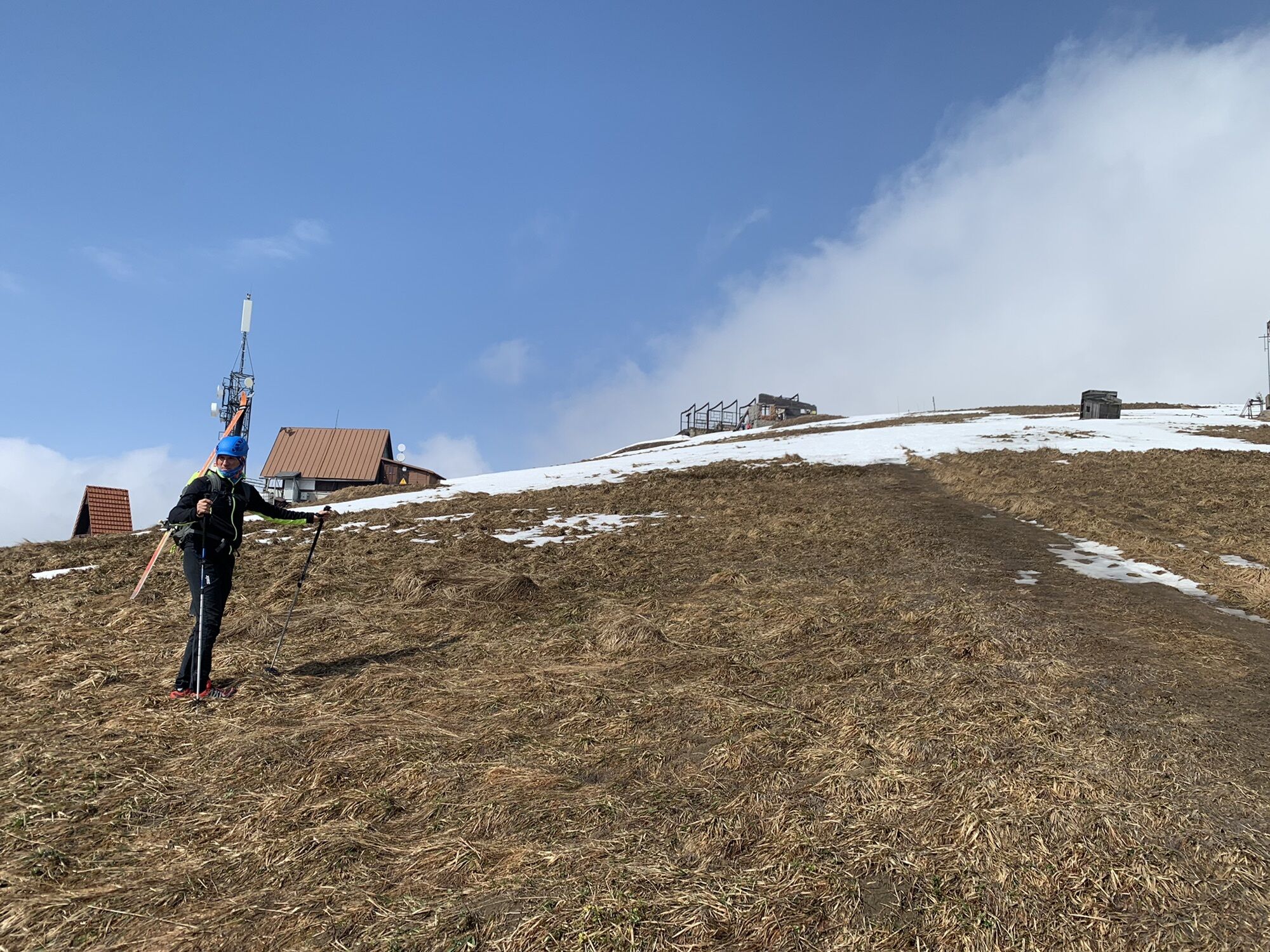
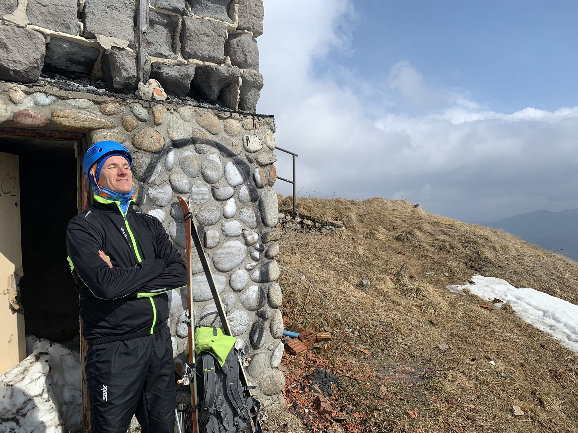
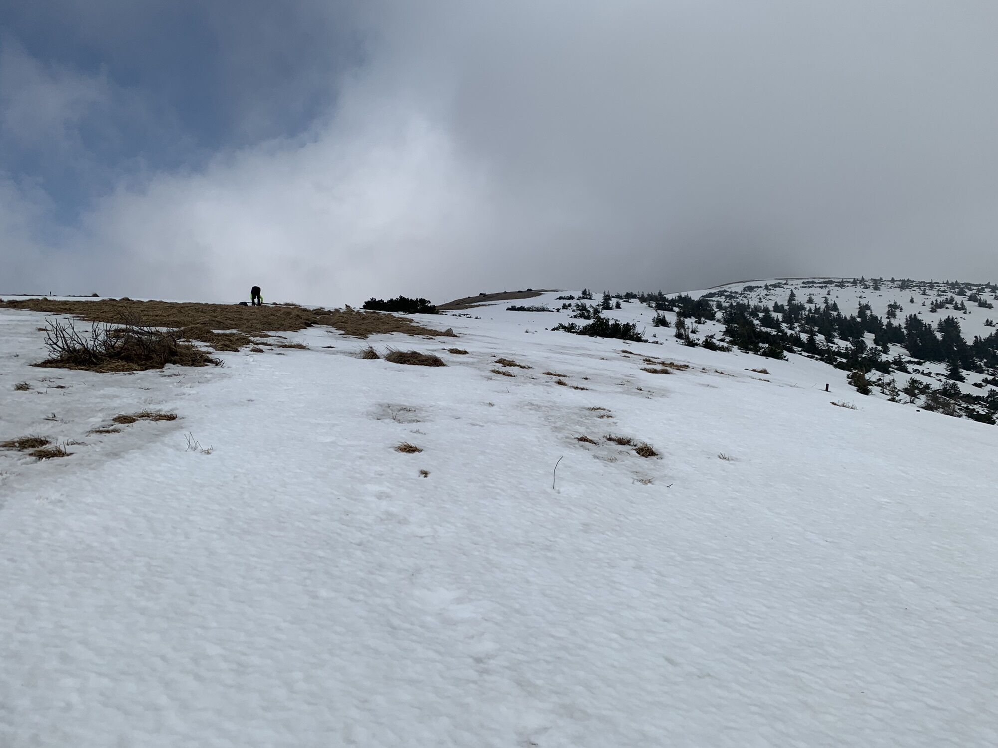
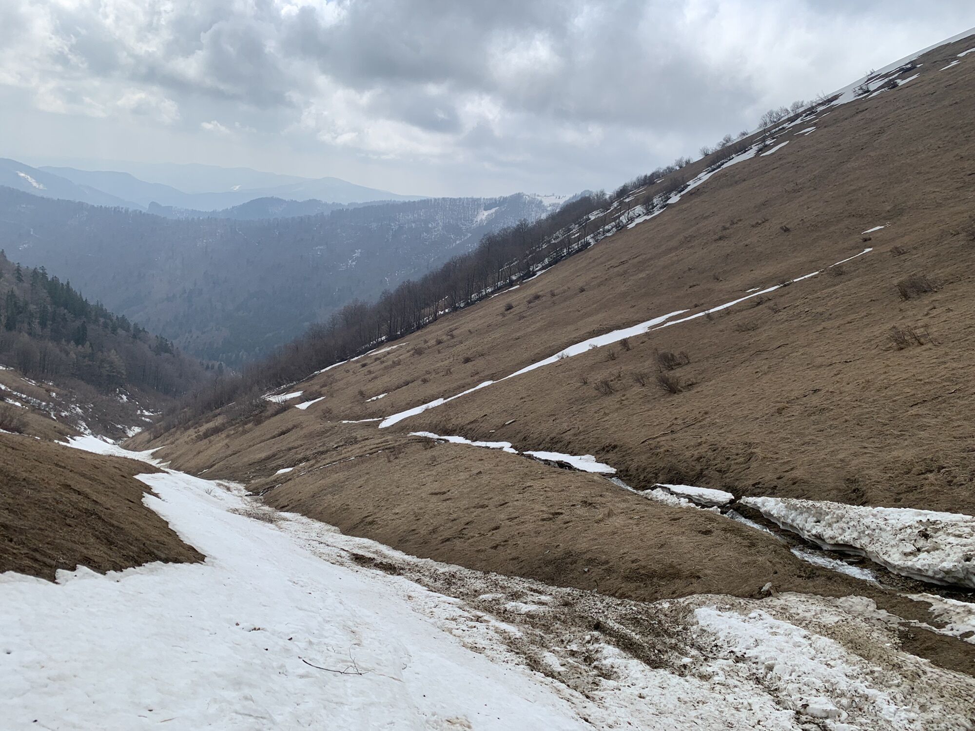
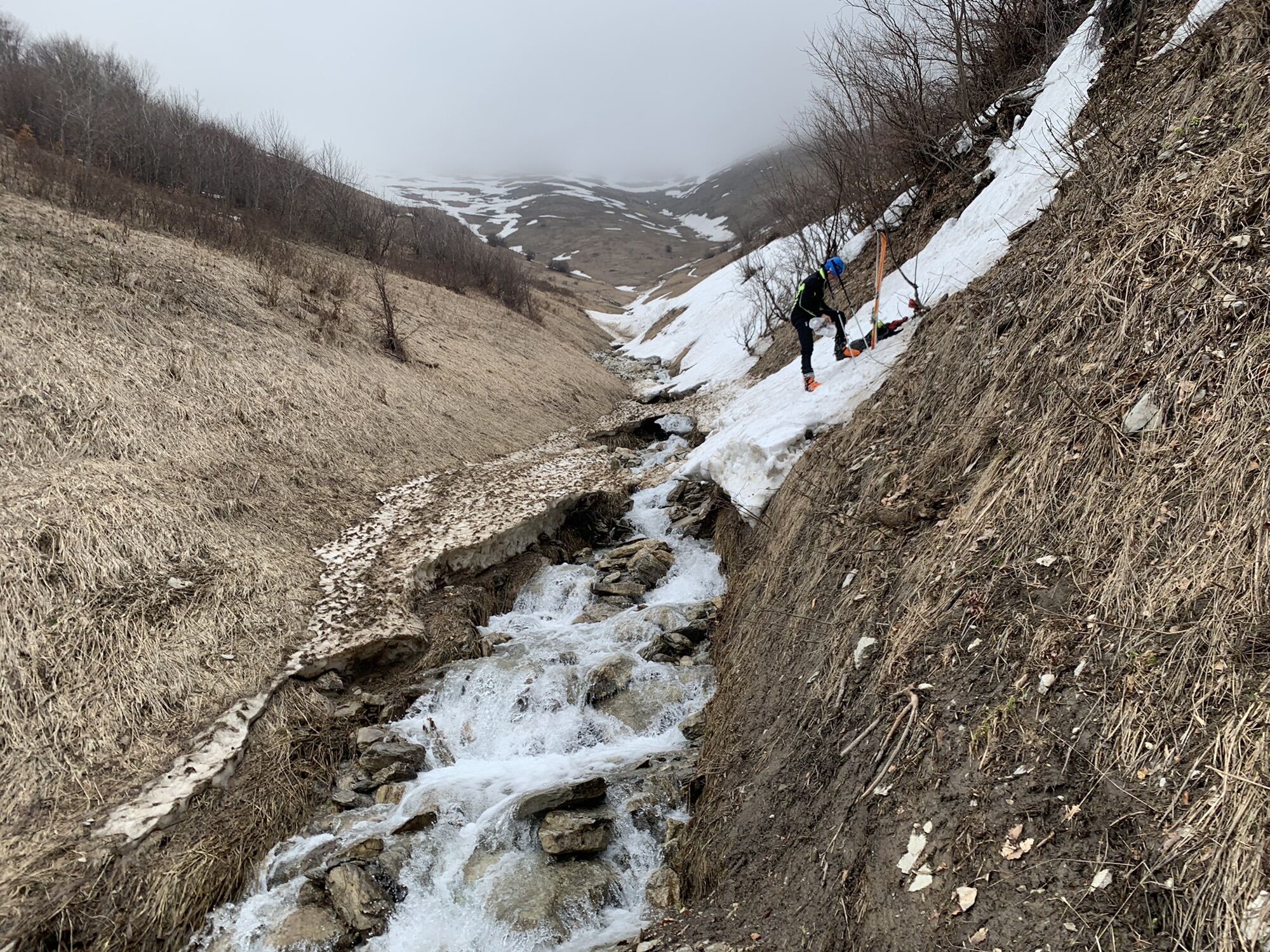
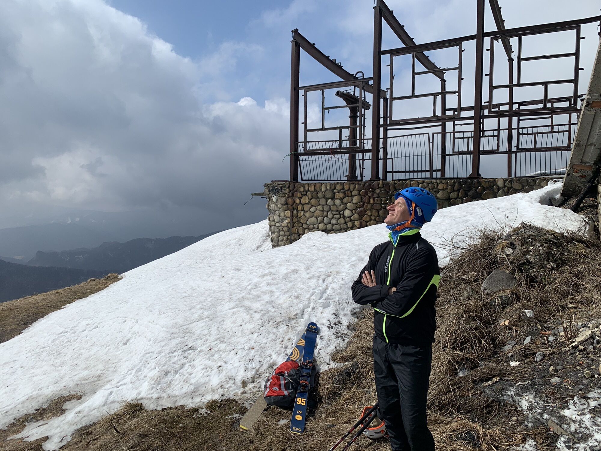
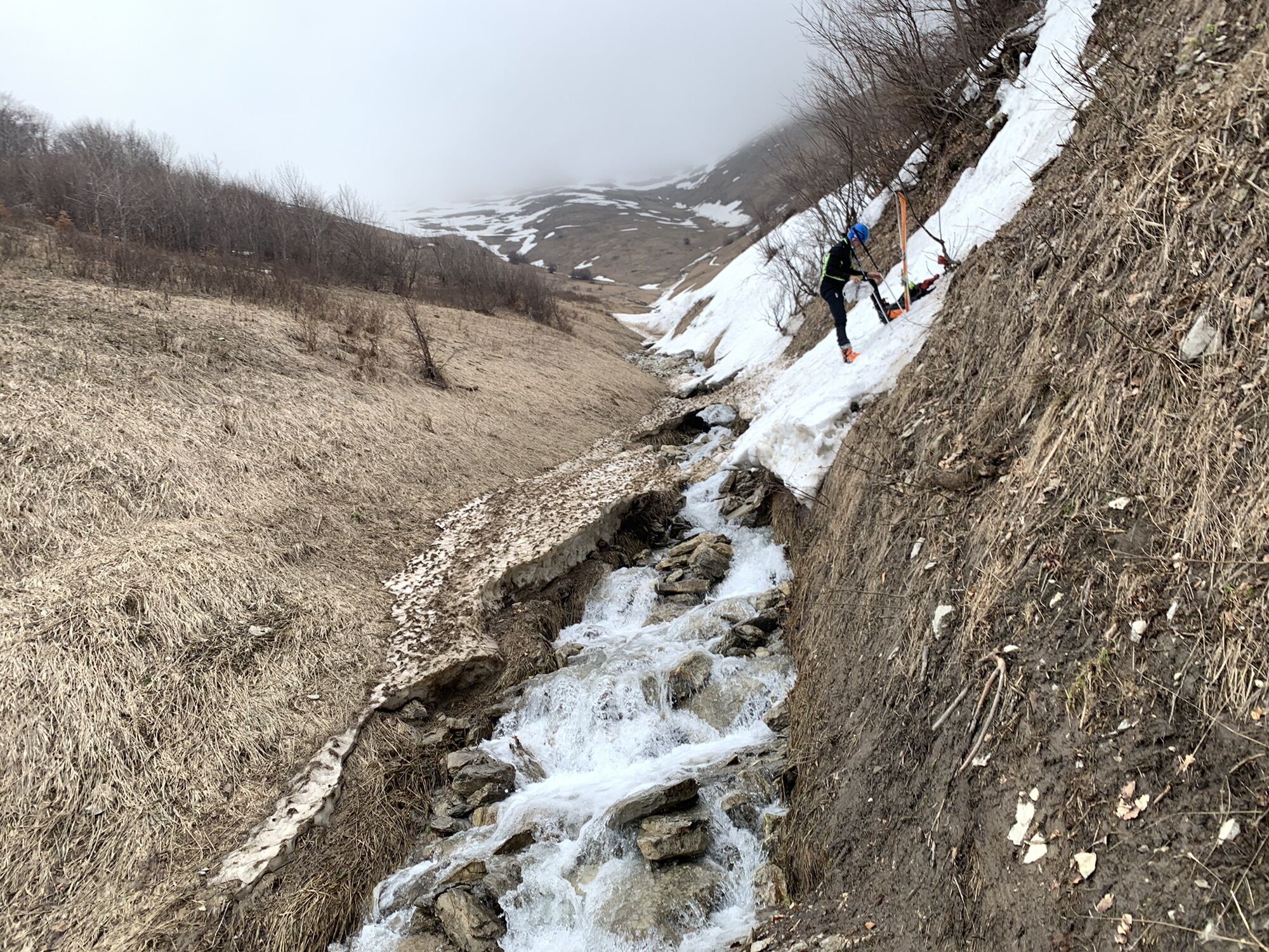
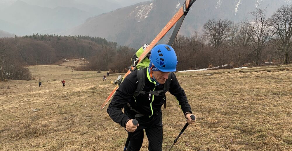
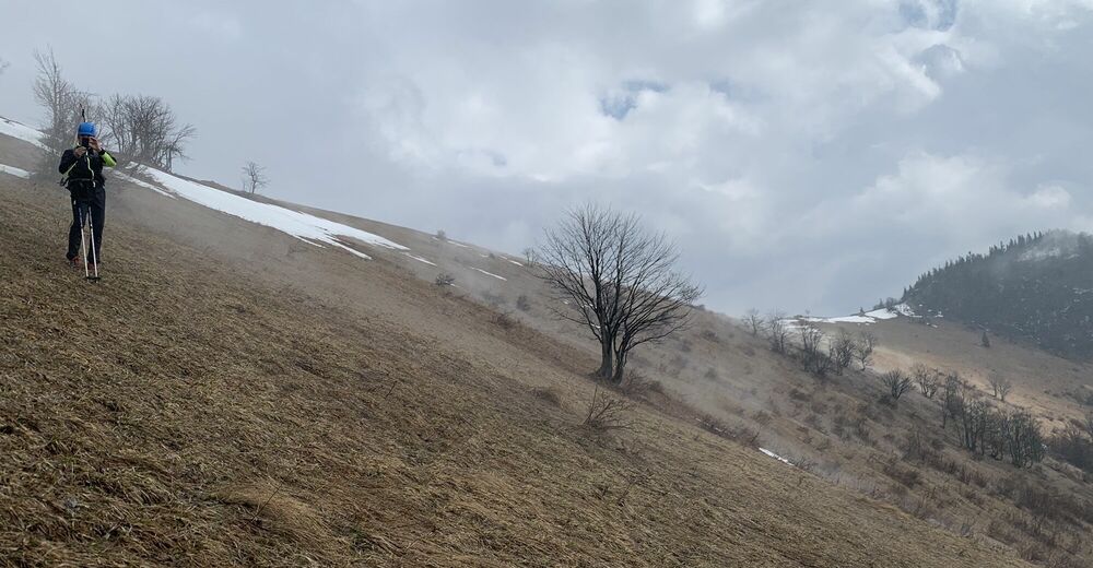
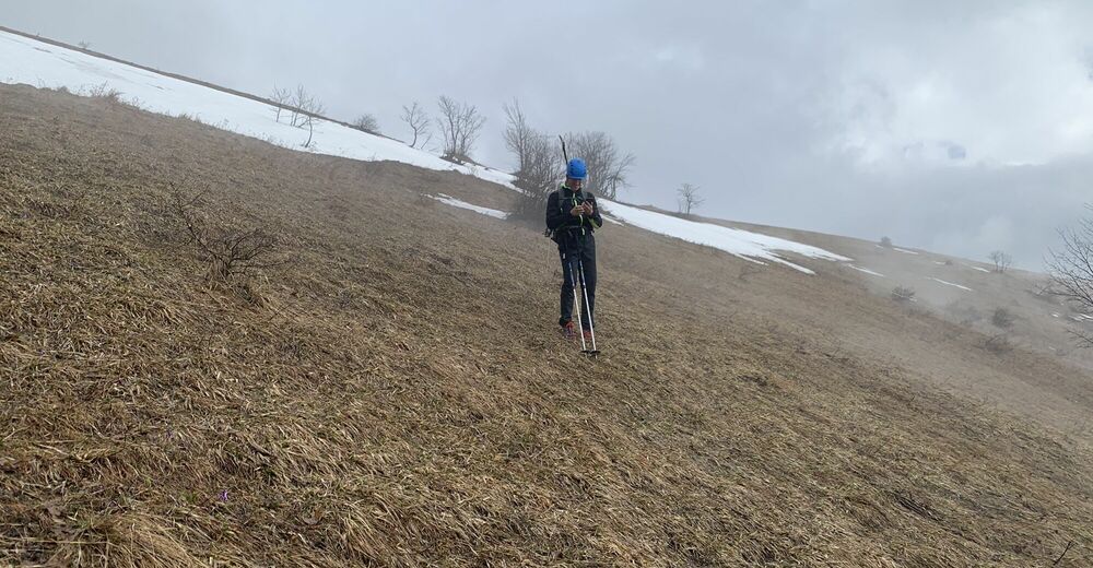
zo Salašiek - Líška, Krížna .. zlyžovanie cez Ramžinú
- Teškoća
-
srednje
- Vrednovanje
-
- Wegverlauf
-
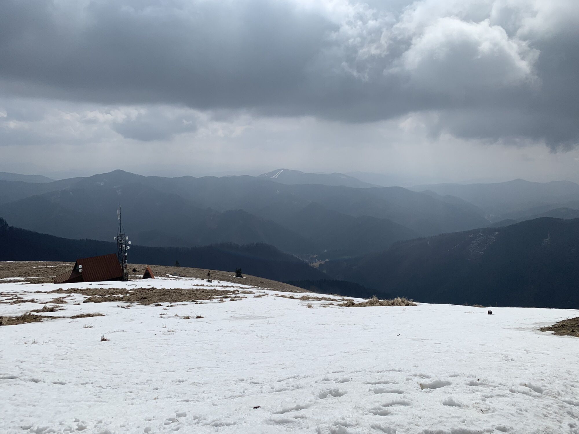
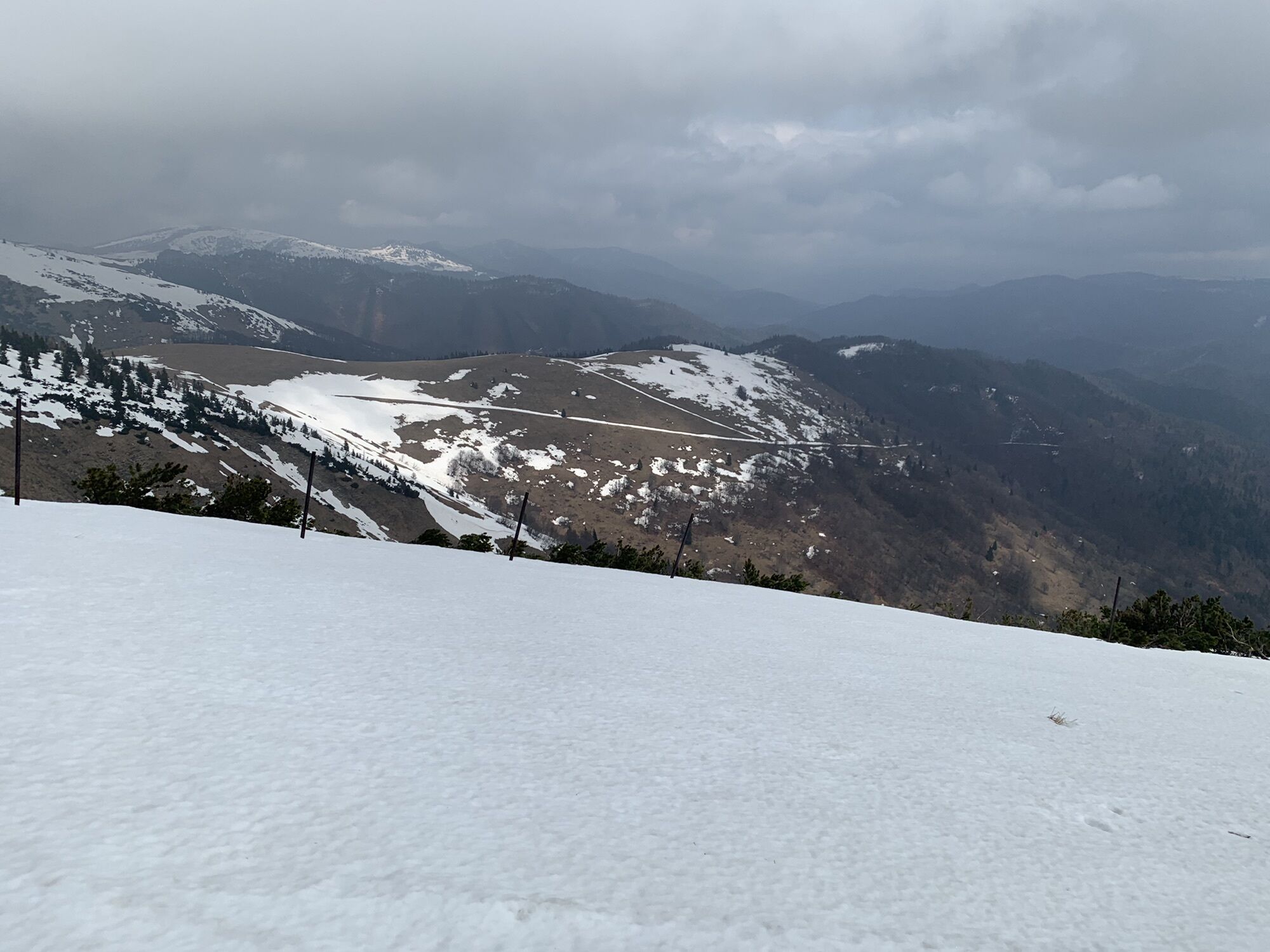
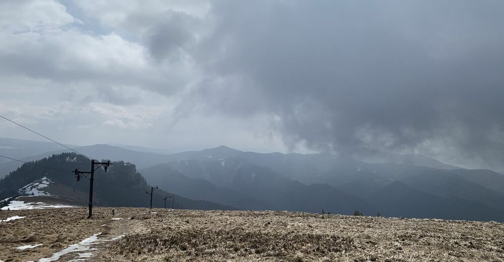
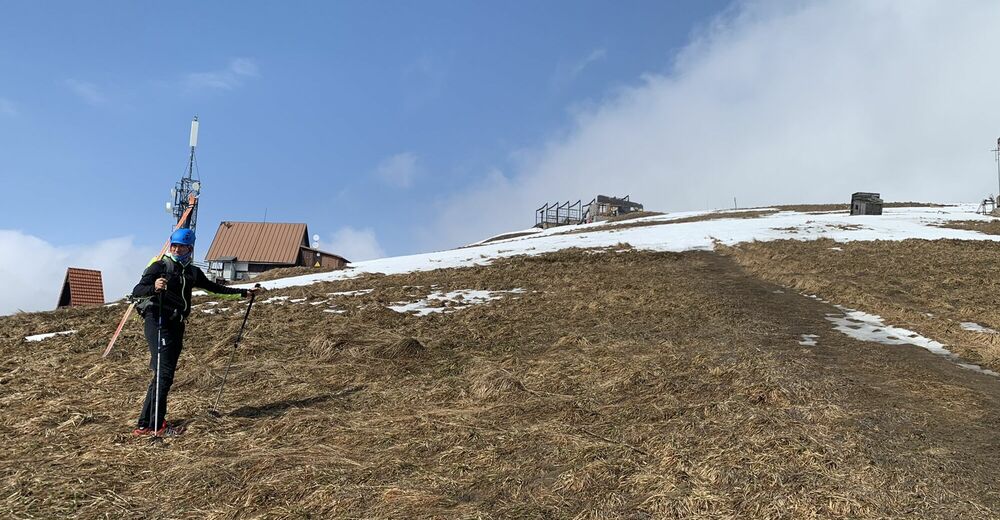
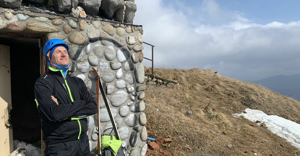
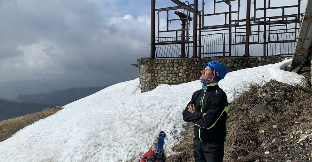
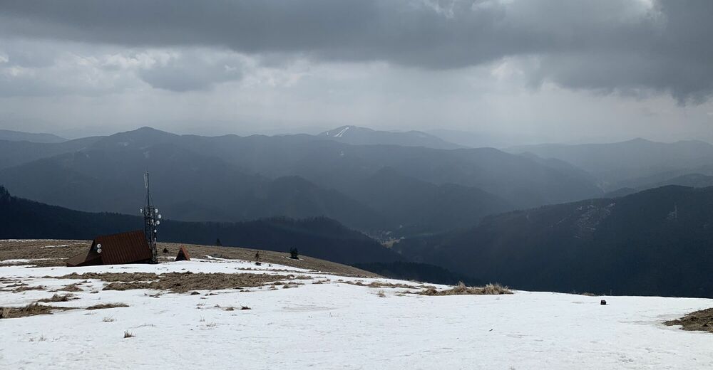
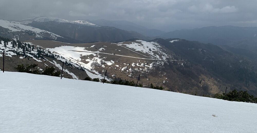
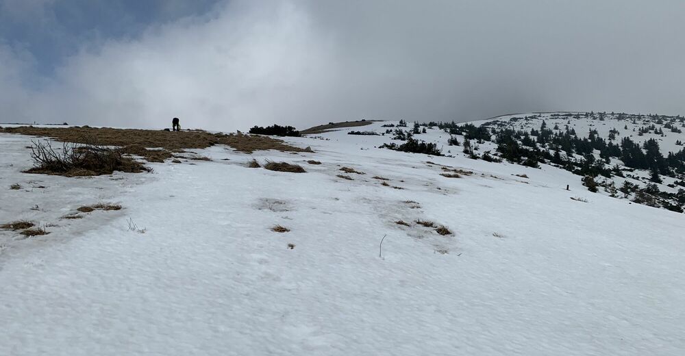
Machy2,1 kmMachy a Hutnícke2,4 kmPod Líškou2,8 kmLíška (1.445 m)3,2 kmNad Úplazmi3,3 kmKrížna (1.574 m)4,3 kmStanov7,1 kmPrameň Močiarne7,8 kmSalášky9,5 km
- Beste Jahreszeit
-
kolrujlisstuprosijveljožutrasvilipsrp
- Höchster Punkt
- 1.569 m