

© Banskobystrický kraj Turizmus - Linda Ágoštonová

© Banskobystrický kraj Turizmus - Linda Ágoštonová
- Kratak opis
-
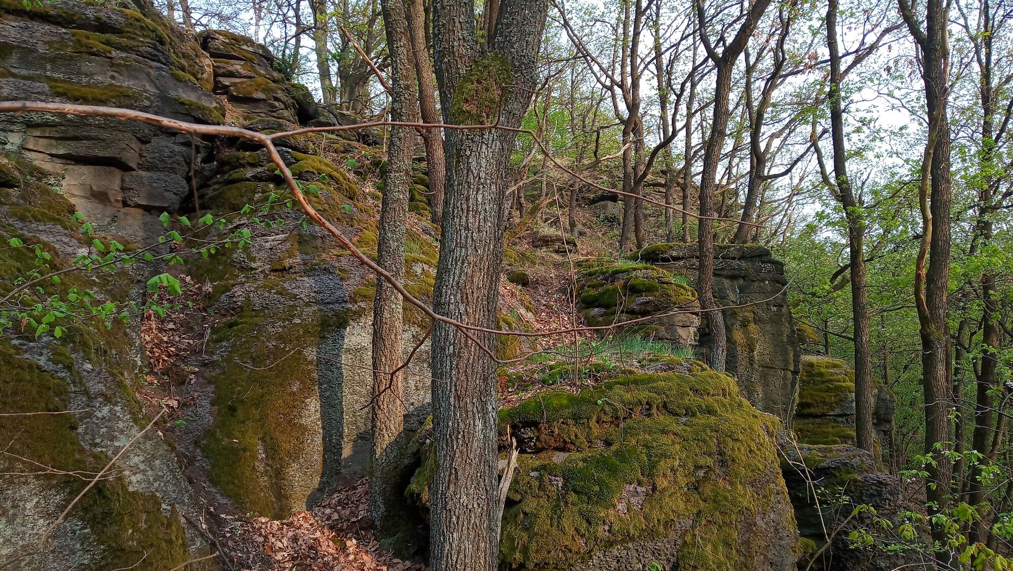
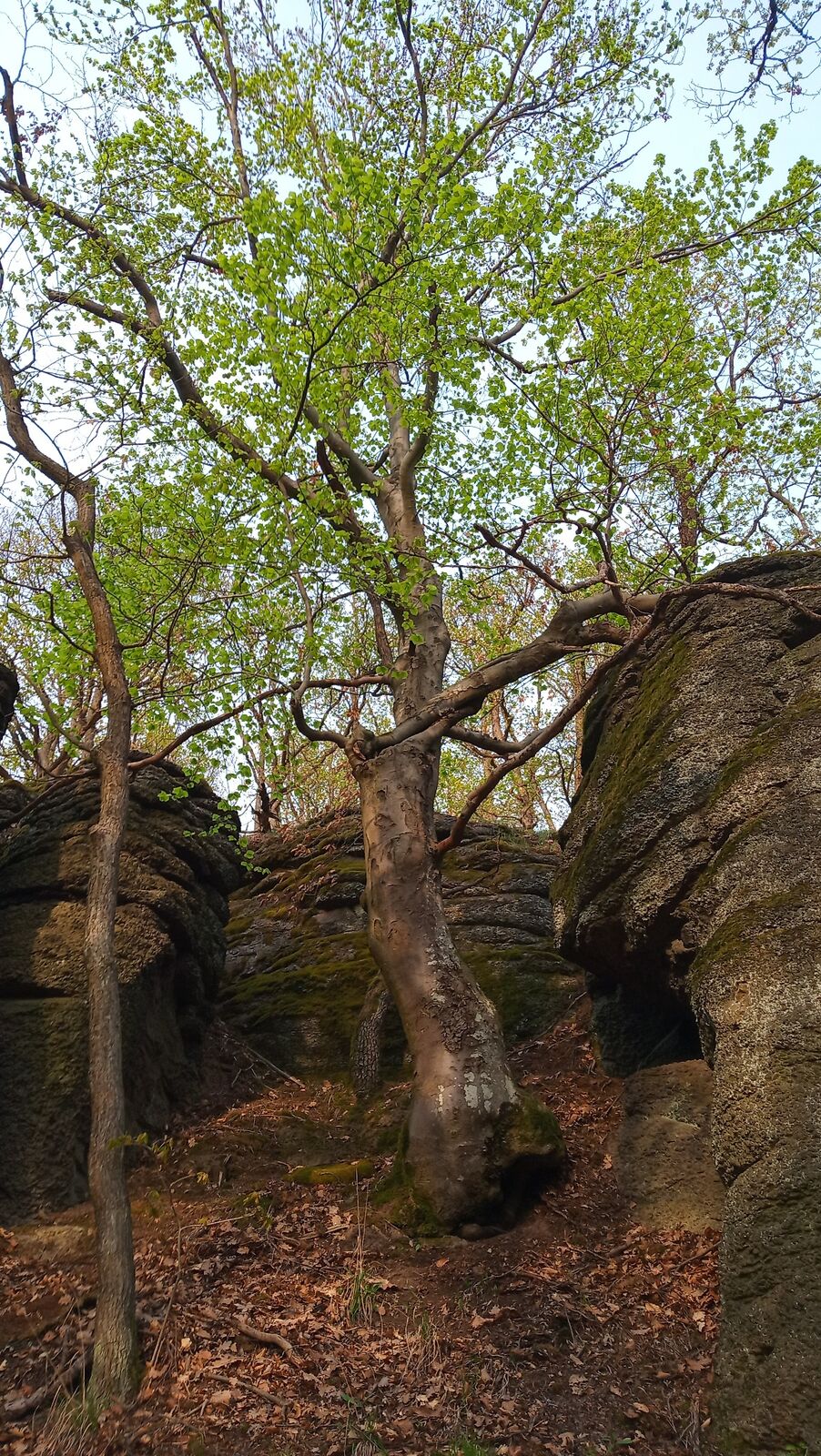
Nenáročná túra (aj pre rodiny s deťmi) a objavovanie prírodných krás CHKO Cerova vrchovina a Belinských skál ako prírodnej pamiatky.
- Teškoća
-
teška
- Vrednovanje
-
- Wegverlauf
-
Čamovce (217 m)1,9 kmBelinská skala (466 m)5,5 km
- Beste Jahreszeit
-
sijveljožutrasvilipsrpkolrujlisstupro
- Höchster Punkt
- 436 m
- Zielpunkt
-
Belinské skaly
- Höhenprofil
-
 © outdooractive.com
- Autor
-
Die Tour Belinské skaly wird von outdooractive.com bereitgestellt.
GPS Downloads


Opće informacije
Heilklima
Kulturell/Historisch
Geheimtipp
Flora
Fauna