
Podaci o ruti
11,41km
777
- 1.167m
448hm
442hm
01:39h

- Kratak opis
-
kleine idylische Bergrunde
- Teškoća
-
srednje
- Vrednovanje
-
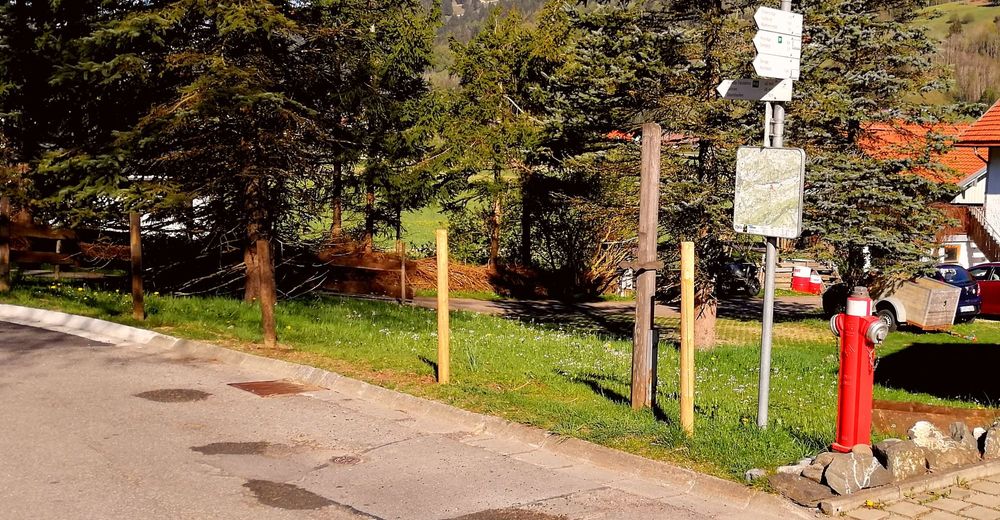
- Polazna točka
-
Parkplatz Nähe Liftanlage
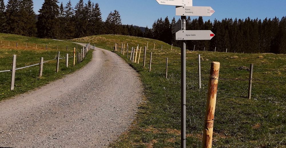
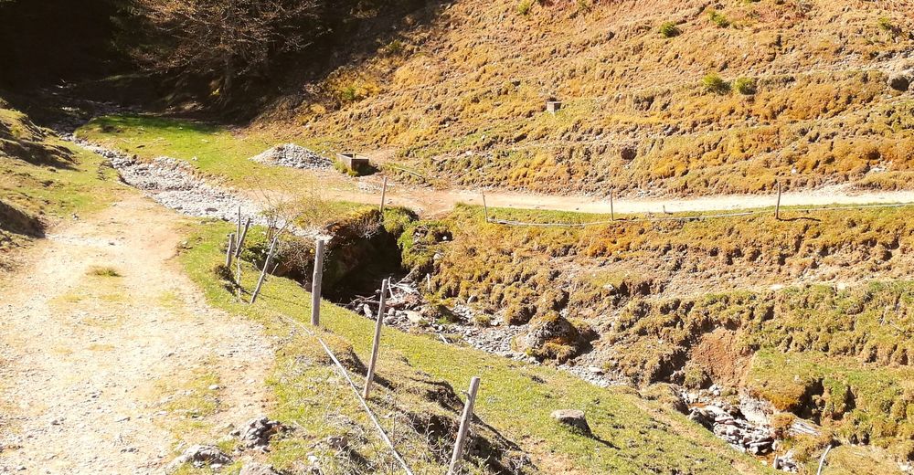
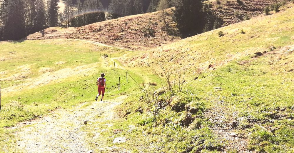
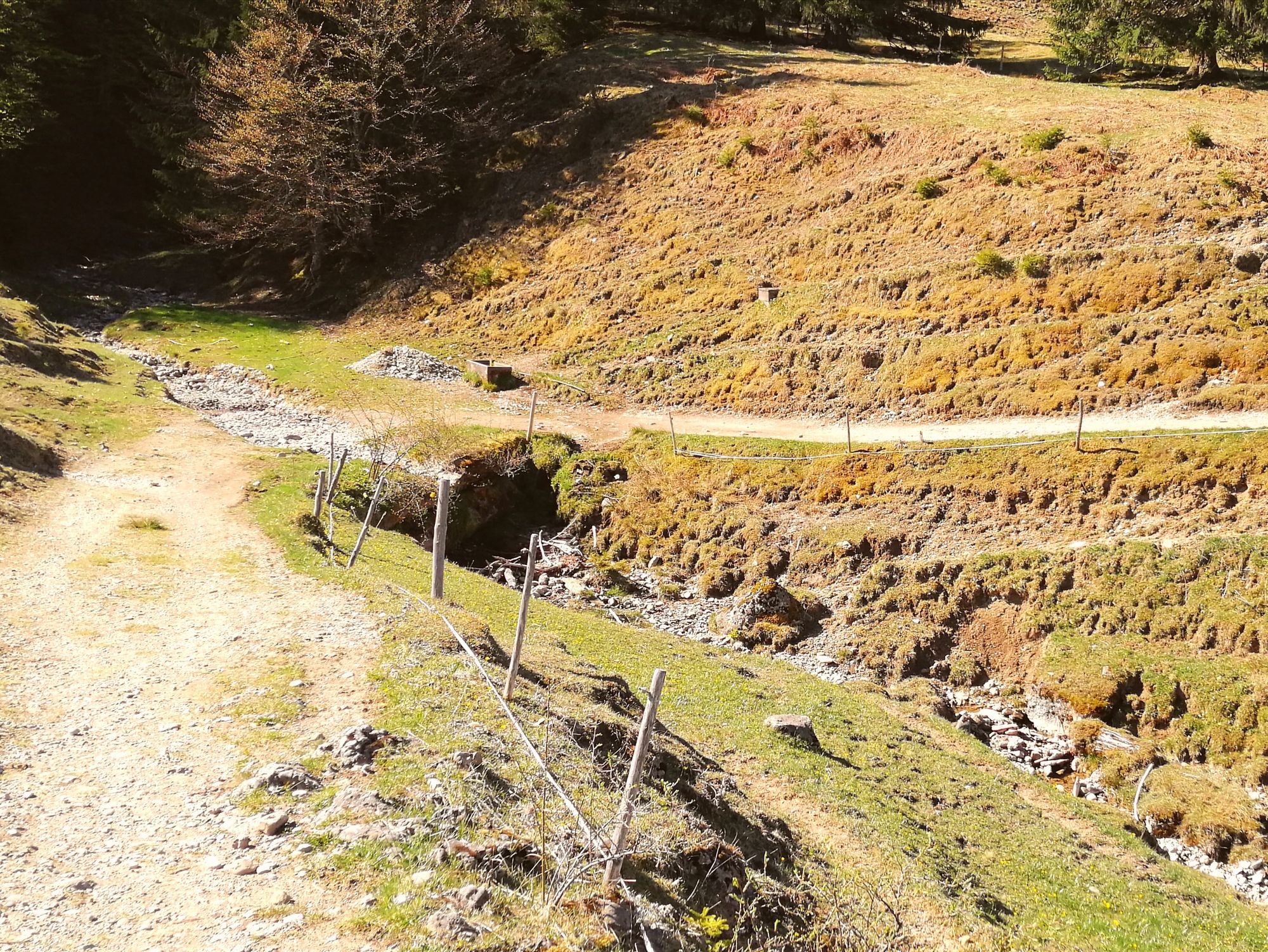
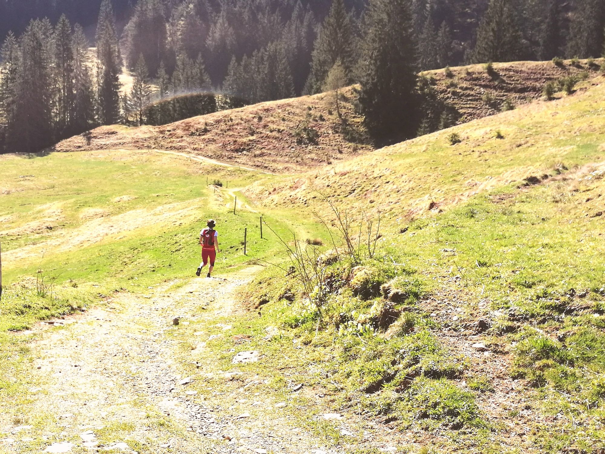
- Wegverlauf
-
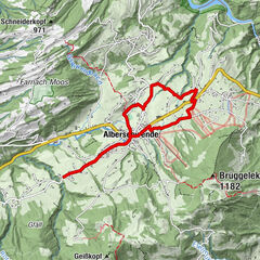
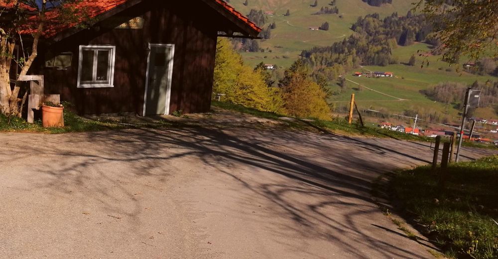
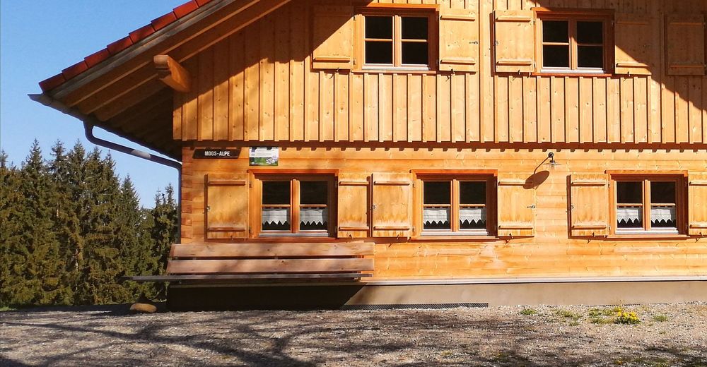
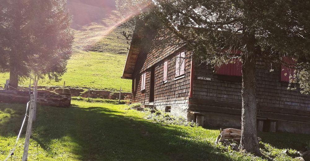
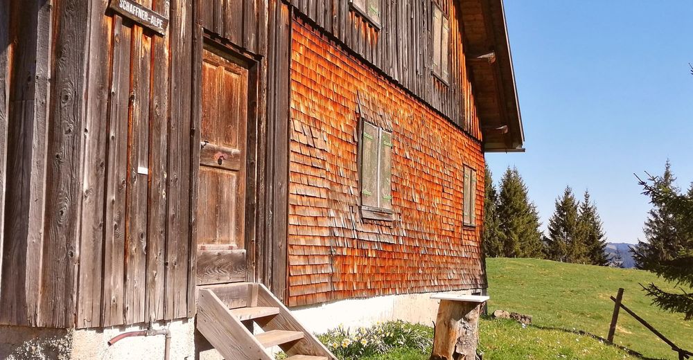
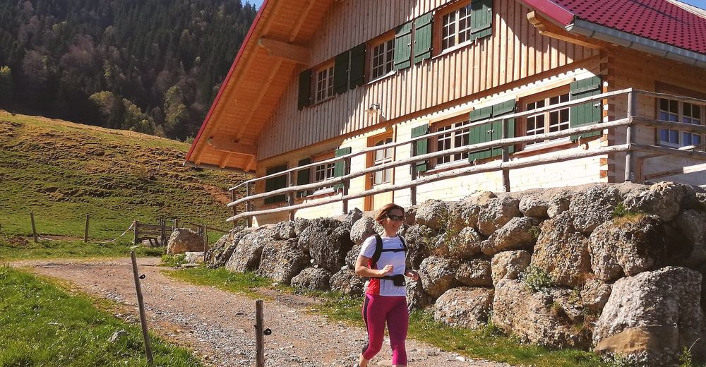
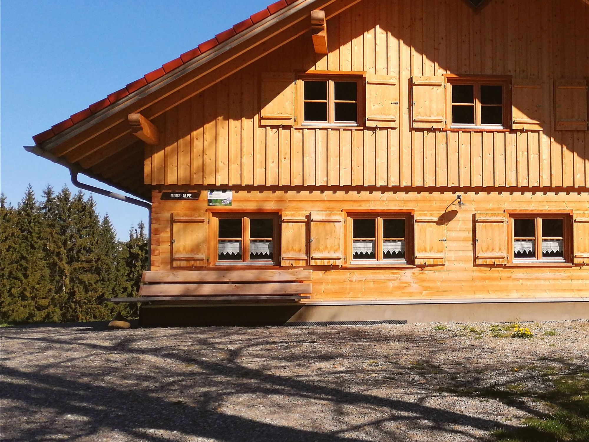
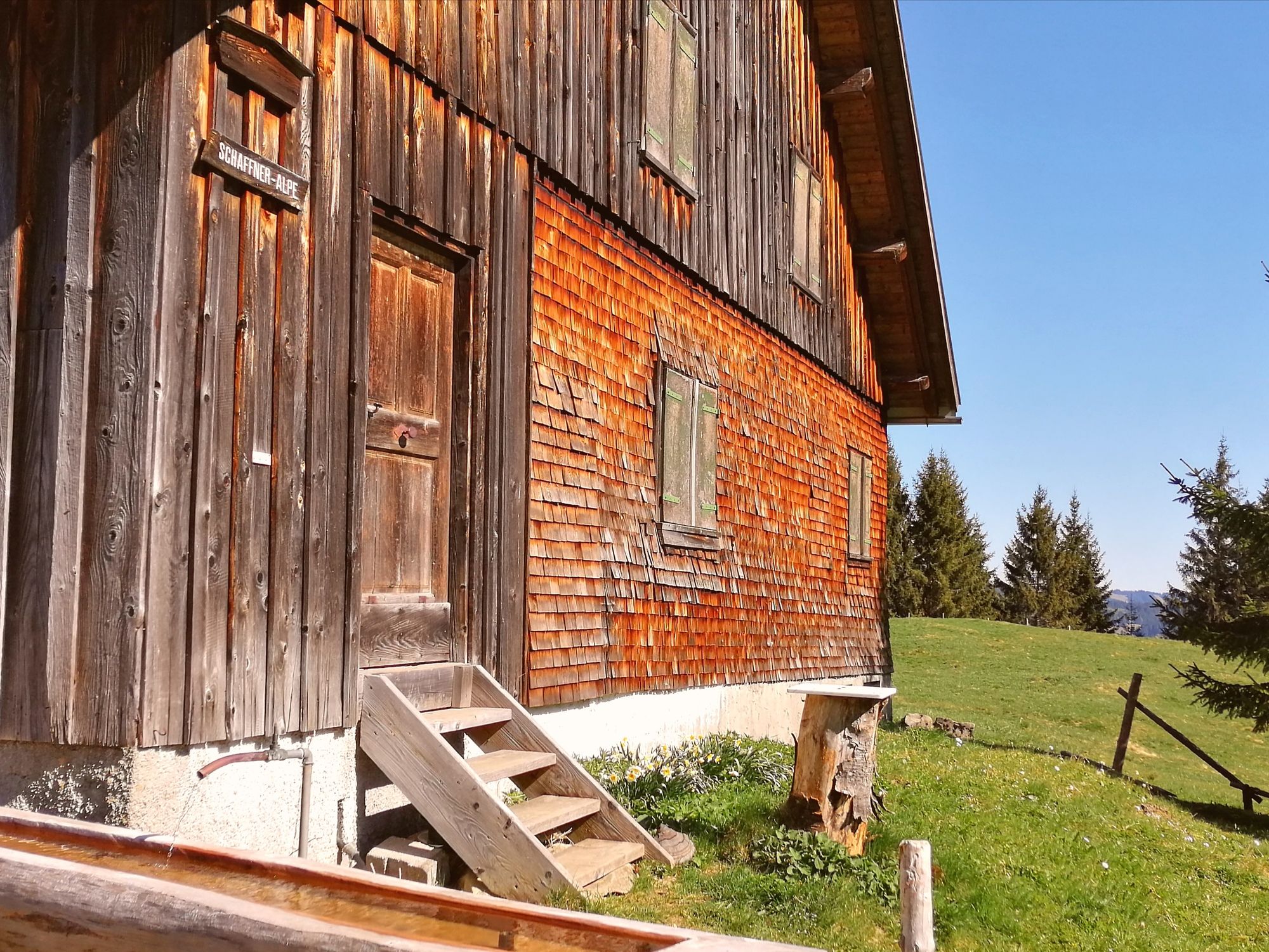
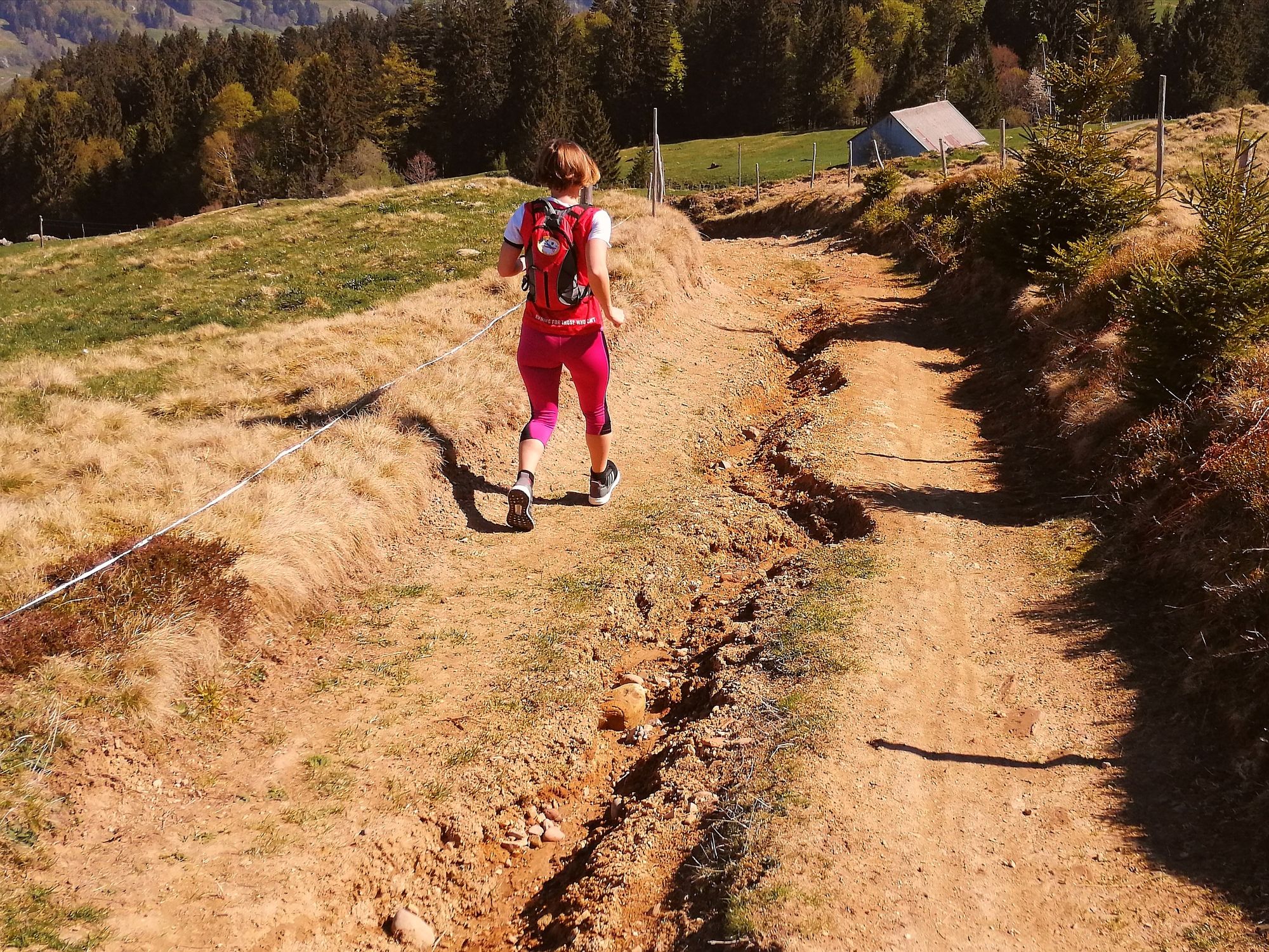
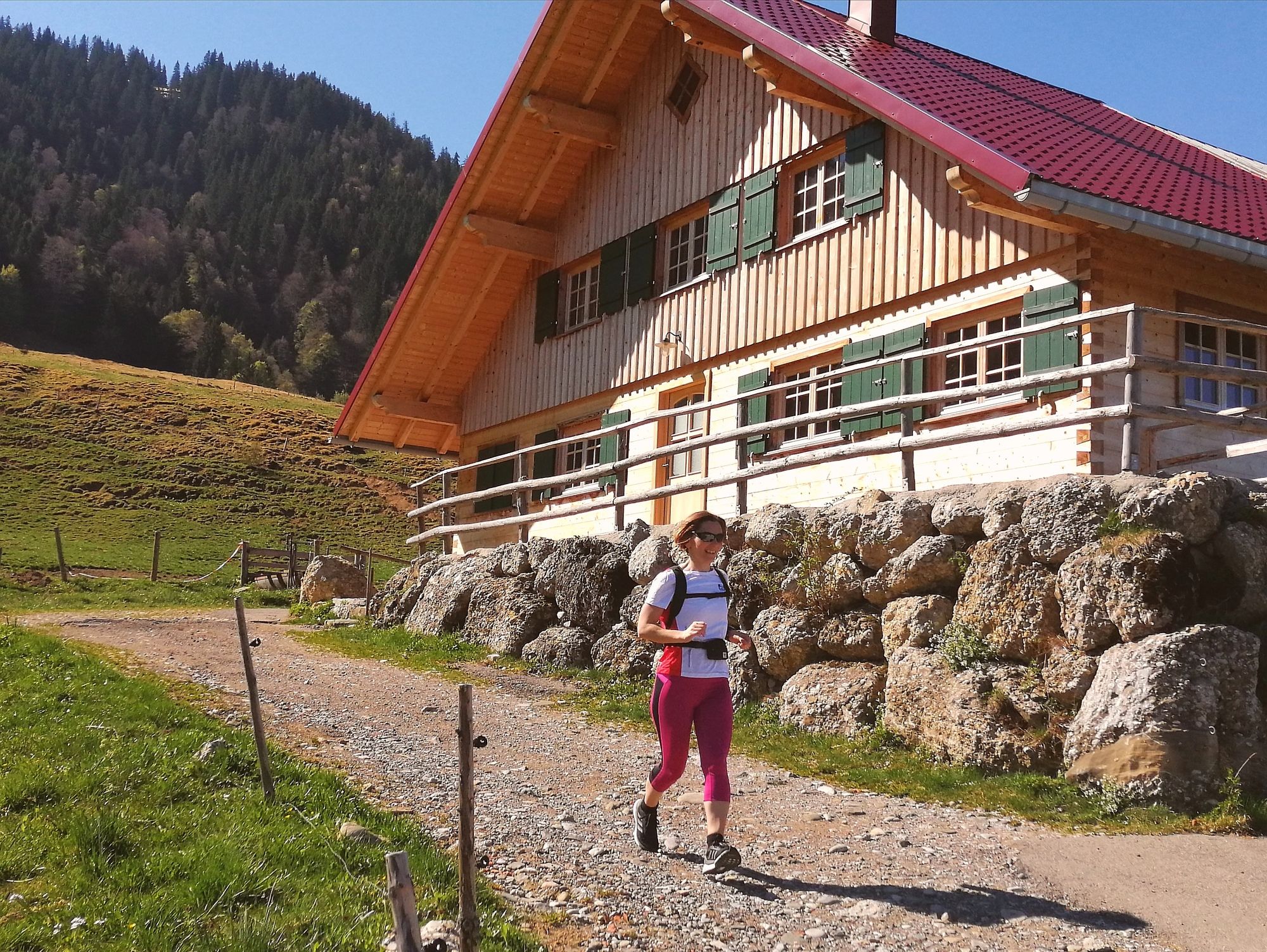
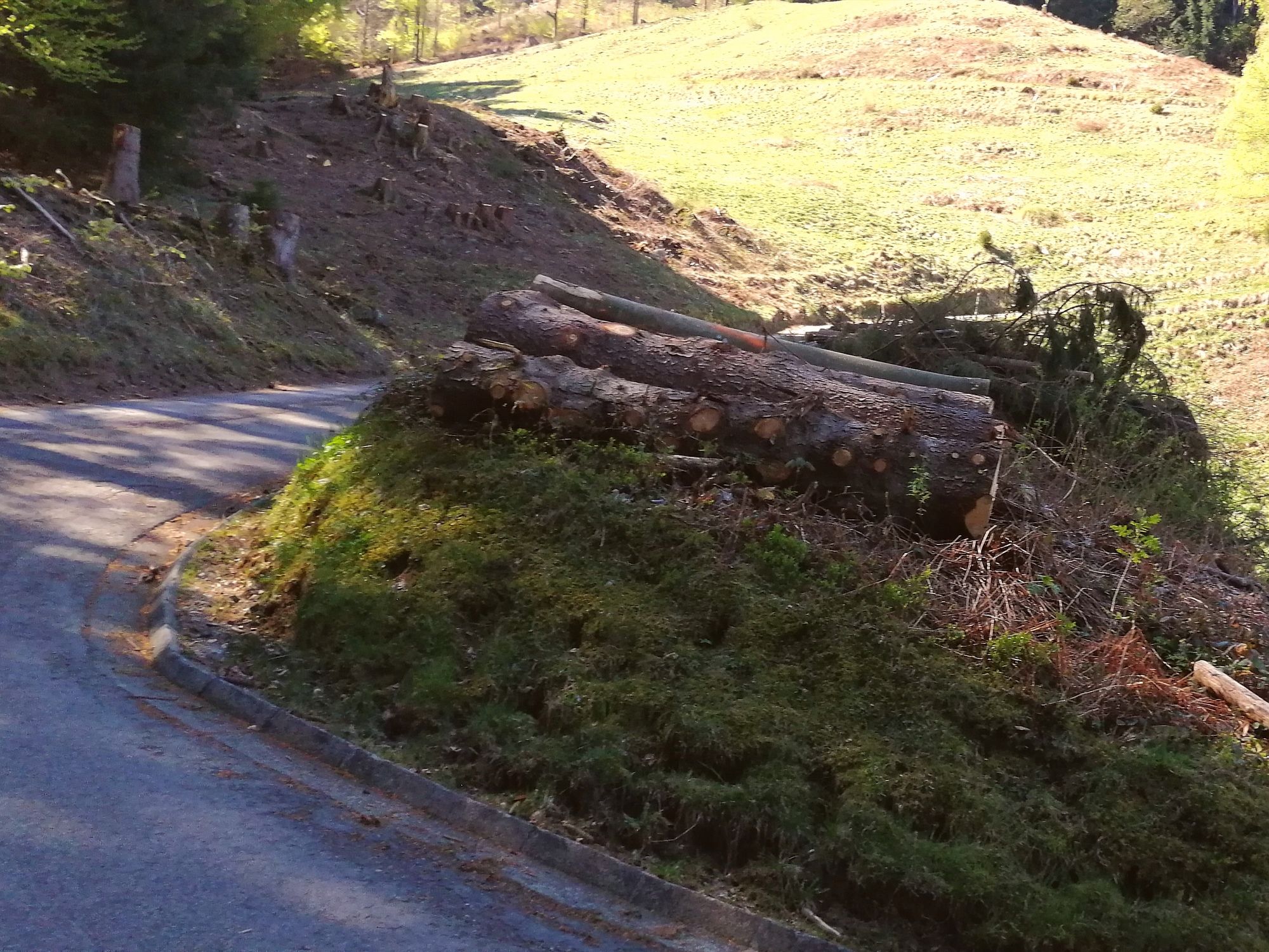
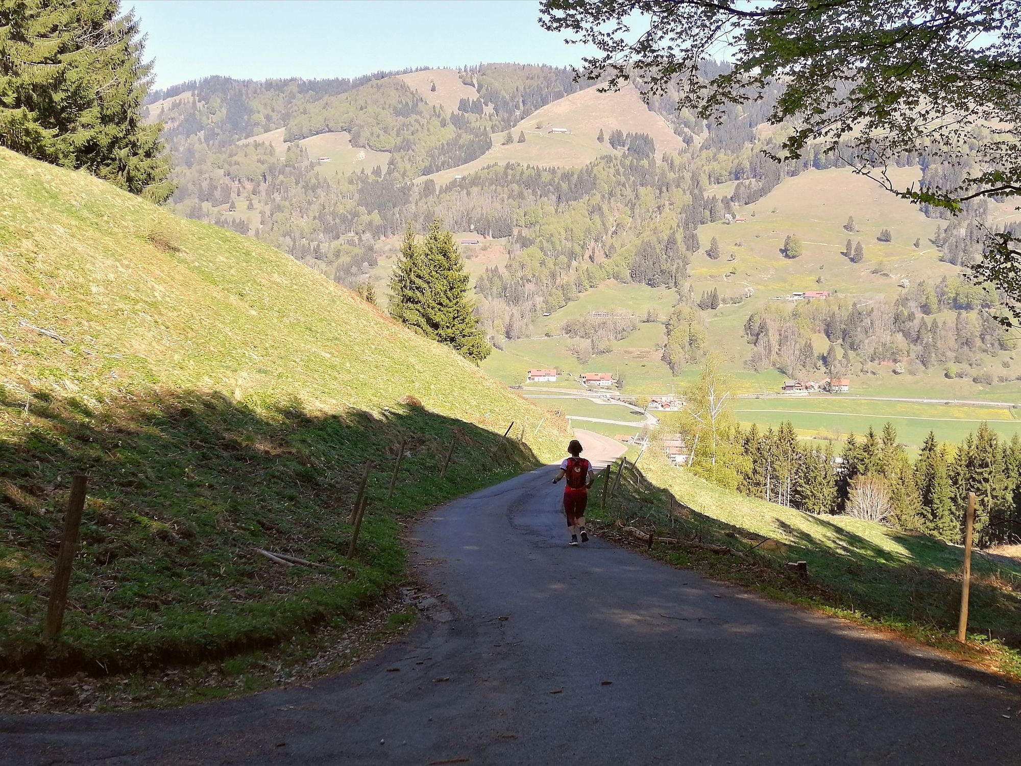
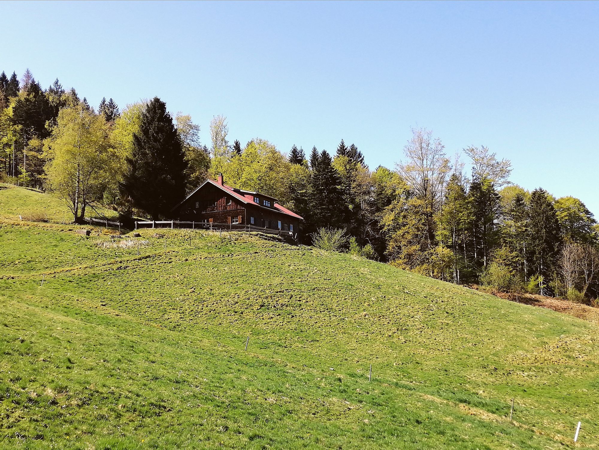
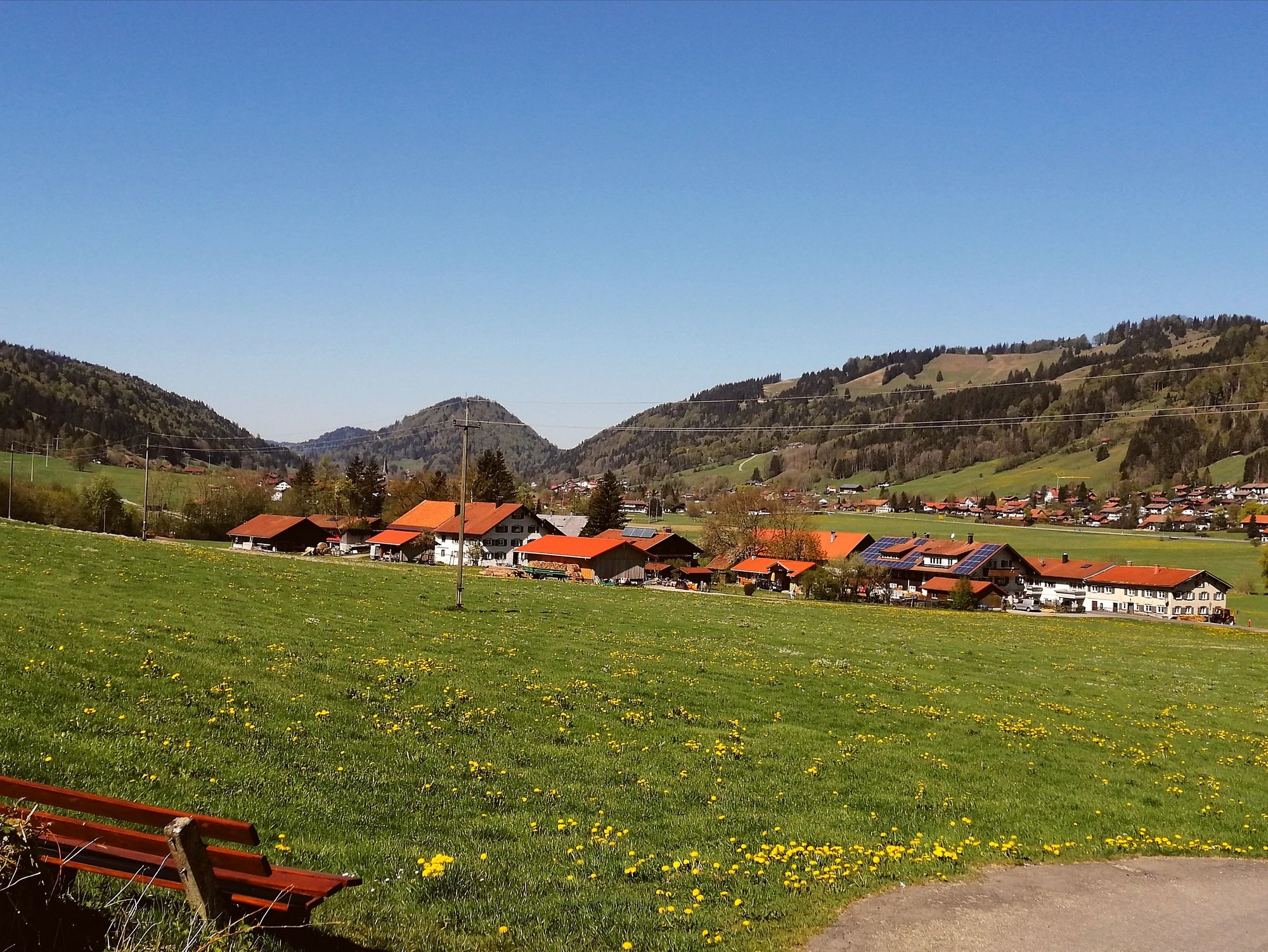
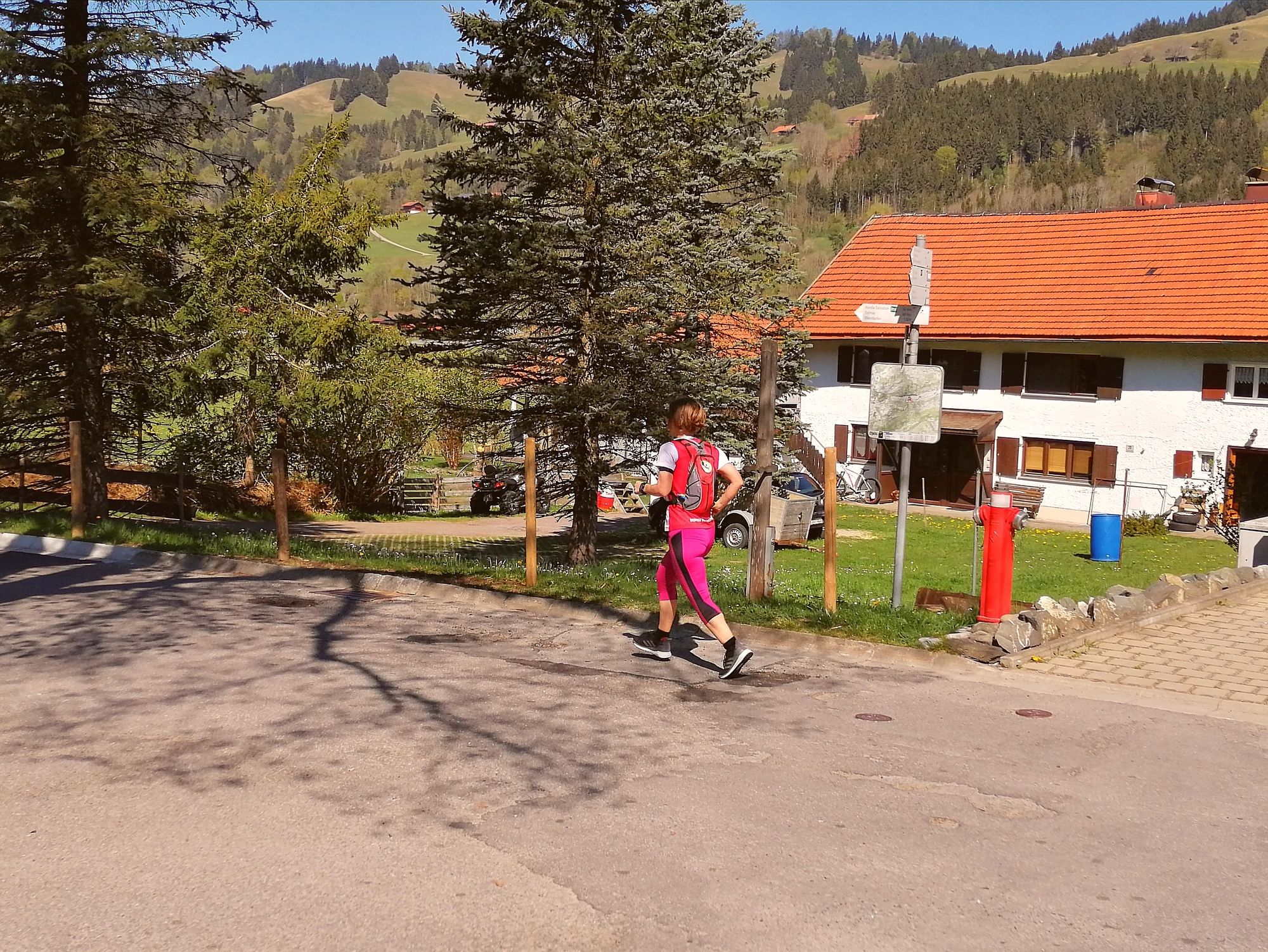
Thalkirchdorf0,2 kmSchwändle Berghütte1,6 kmSchwand-Alpe1,6 kmMoos-Alpe2,6 kmAlpe Kühschwand5,5 kmOsterdorfer Wasserfall8,6 kmOsterdorf9,8 kmSt. Johannes Baptist10,8 kmThalkirchdorf10,9 km
- Beste Jahreszeit
-
sijveljožutrasvilipsrpkolrujlisstupro
- Höchster Punkt
- 1.167 m
- Zielpunkt
-
Ausgangspunkt


GPS Downloads


Weitere Touren in den Regionen
-
Allgäu
60
-
Alpsee-Grünten
41
-
Alpsee Bergwelt
4