Kern - Mariä Himmelfahrt - Sankt Nikolaus - Pfarrkirche Mariä Himmelfahrt
medium
Navigate
Navigate
Get this tour on your mobile
Kern - Mariä Himmelfahrt - Sankt Nikolaus - Pfarrkirche Mariä Himmelfahrt
medium
Vozi bicikl
29,78
km
Scan the QR code and start navigation in the bergfex app

Hiking & Tracking


Distance
29,78
km
Duration
02:02
h
Ascent
273
m
Sea level
497 -
576
m
Track download
Kern - Mariä Himmelfahrt - Sankt Nikolaus - Pfarrkirche Mariä Himmelfahrt
medium
Vozi bicikl
29,78
km


Route
Mariä Himmelfahrt
(502 m)
Place of worship
0,0 km
Hl. Antonius
(531 m)
Place of worship
6,7 km
Sankt Nikolaus
(564 m)
Place of worship
10,8 km
Pfarrkirche Mariä Himmelfahrt
(532 m)
Place of worship
13,6 km
Taufkapelle St. Johannes
(532 m)
Place of worship
14,0 km
Hl. Antonius
(531 m)
Place of worship
23,2 km
Mariä Himmelfahrt
(502 m)
Place of worship
29,7 km
Route
Kern - Mariä Himmelfahrt - Sankt Nikolaus - Pfarrkirche Mariä Himmelfahrt
medium
Vozi bicikl
29,78
km
Kern
(501 m)
Restaurant
0,0 km
Mariä Himmelfahrt
(502 m)
Place of worship
0,0 km
Halfing
(504 m)
Village
0,3 km
Irlach
(505 m)
Settlement
1,0 km
Grafing
(513 m)
Settlement
2,6 km
Bad Endorf
(522 m)
City
6,0 km
Bad Endorf (Oberbay)
(525 m)
Railway station
6,2 km
Hl. Antonius
(531 m)
Place of worship
6,7 km
Rachenthal
(531 m)
Neighbourhood
6,8 km
Mauerkirchen
(509 m)
Settlement
8,0 km
Sieglweiher
(533 m)
Settlement
9,4 km
Kalkgrub
(555 m)
Settlement
9,4 km
Sankt Nikolaus
(564 m)
Place of worship
10,8 km
Rimsting
(566 m)
Village
10,8 km
HO Restaurant
(568 m)
Restaurant
10,9 km
Otterkring
(556 m)
Settlement
12,3 km
Bruck
(541 m)
Neighbourhood
13,3 km
Pfarrkirche Mariä Himmelfahrt
(532 m)
Place of worship
13,6 km
Gries
(531 m)
Neighbourhood
13,7 km
Taufkapelle St. Johannes
(532 m)
Place of worship
14,0 km
Prien am Chiemsee
(532 m)
City
14,1 km
Stock
(520 m)
Neighbourhood
15,7 km
Osternach
(520 m)
Village
16,6 km
Westernach
(523 m)
Settlement
17,9 km
Rimsting
(566 m)
Village
19,3 km
Sankt Nikolaus
(564 m)
Place of worship
19,3 km
Kalkgrub
(555 m)
Settlement
20,6 km
Sieglweiher
(533 m)
Settlement
20,7 km
Mauerkirchen
(509 m)
Settlement
21,9 km
Rachenthal
(531 m)
Neighbourhood
23,2 km
Hl. Antonius
(531 m)
Place of worship
23,2 km
Bad Endorf (Oberbay)
(525 m)
Railway station
23,8 km
Bad Endorf
(522 m)
City
23,9 km
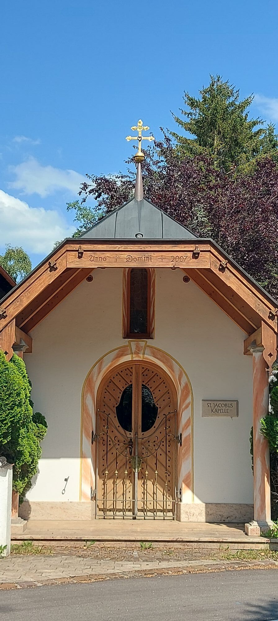
St. Jakobus
(522 m)
Place of worship
24,4 km
St. Jakobus d. Ältere, Bad Endorf
(522 m)
Place of worship
24,4 km
Grafing
(513 m)
Settlement
27,2 km
Ristorante Pizzeria Trevi
(505 m)
Restaurant
29,1 km
Halfing
(504 m)
Village
29,4 km
Mariä Himmelfahrt
(502 m)
Place of worship
29,7 km
Kern
(501 m)
Restaurant
29,8 km
No reviews yet
Webcams of the tour
-
Bad Endorf Jod-Thermalbad
-
Chiemgau Thermen
-
Bad Endorf Jod-Thermalbad
-
Bad Endorf Jod-Thermalbad
-
Bad Endorf Jod-Thermalbad
-
Bad Endorf Jod-Thermalbad
-
Bad Endorf Jod-Thermalbad
-
Bad Endorf Jod-Thermalbad
-
Prien am Chiemsee
-
Prien am Chiemsee
-
Prien am Chiemsee
-
Prien am Chiemsee
-
Bad Endorf
-
Schlosswirtschaft Herrenchiemsee
-
Prien am Chiemsee - Hafen
Popular tours in the neighbourhood
-
4,3
Rundwanderung Seiseralm Chiemgau
lightPješačenje 6,91 km -
4,6
Chiemseerunde
lightE-MTB 54,1 km -
4,8
Kampenwand, von Bernau auf die SteinlingAlm, ab da zu Fuss und kraxeln aufn Ostgipfel
mediumMountainbike 13,1 km -
4,2
Rund um den Hartsee bei Eggstätt (Rosenheim)
lightPješačenje 5,43 km -
3,2
MTB Traumtour Chiemgauer Alpen April 2018
mediumMountainbike 38,4 km -
Wanderung zur Kampenwand
Pješačenje 19,4 km -
5,0
Laubenstein von Frasdorf
lightPješačenje 6,76 km -
4,2
Runde um den Chiemsee
lightVozi bicikl 53,6 km -
4,7
Aussichtsreiche Rundtour Chiemgau
mediumPješačenje 13,0 km -
Chiemseerundfahrt
lightMountainbike 53,3 km

bergfex Tours

Over 550.000 tour suggestions, detailed maps and an intuitive route planner make the app a must-have for all nature enthusiasts.

Ne propustite ponude i inspiraciju za vaš sljedeći odmor
Subscribe to the newsletter
Error
An error has occurred. Please try again.
Thank you for your registration
Your e-mail address has been added to the mailing list.
Tours throughout Europe
Austrija
Švicarska
Njemačka
Italija
Slovenija
Francuska
Nizozemska
Belgija
Poljska
Lihtenštajn
Češka
Slovačka
Španija
Hrvatska
Bosna i Hercegovina
Luksemburg
Andora
Portugal
Island
Ujedinjeno Kraljevstvo
Irska
Grčka
Albanija
Sjeverna Makedonija
Malta
Norveška
Crna Gora
Moldova
Kosovo
Mađarska
San Marino
Rumunjska
Estonija
Latvija
Bjelorusija
Cipar
Litva
Srbija
Bugarska
Monako
Danska
Švedska
Finska