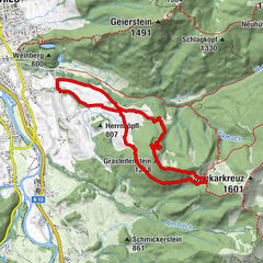
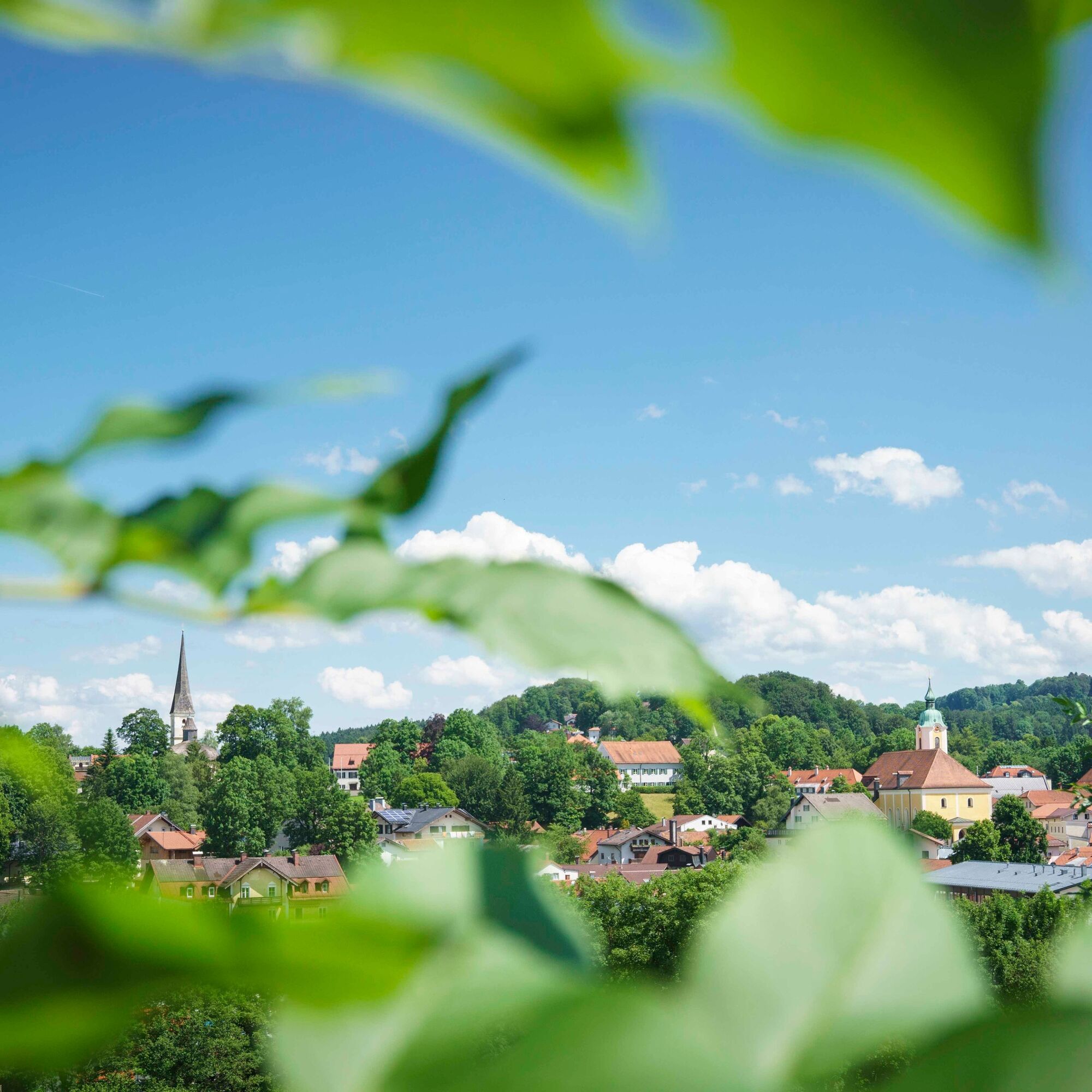
© Alpenregion Tegernsee Schliersee - Dietmar Denger

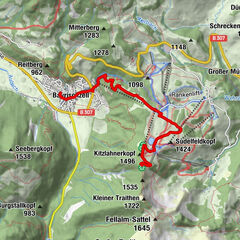
© Alpenregion Tegernsee Schliersee - Dietmar Denger


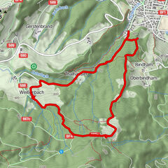
© Alpenregion Tegernsee Schliersee - Dietmar Denger

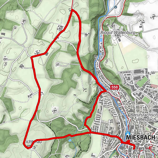
© Alpenregion Tegernsee Schliersee - Dietmar Denger

- Teškoća
-
lagano
- Vrednovanje
-
- Wegverlauf
-
Miesbach0,1 kmLichtenau1,8 kmSankt Magnus3,5 km
- Beste Jahreszeit
-
sijveljožutrasvilipsrpkolrujlisstupro
- Höchster Punkt
- 750 m
- Höhenprofil
-
 © outdooractive.com


-

-
AutorDie Tour Durch die 'Untere Wies' wird von outdooractive.com bereitgestellt.
GPS Downloads


Opće informacije
Kulturell/Historisch
Geheimtipp
Weitere Touren in den Regionen