


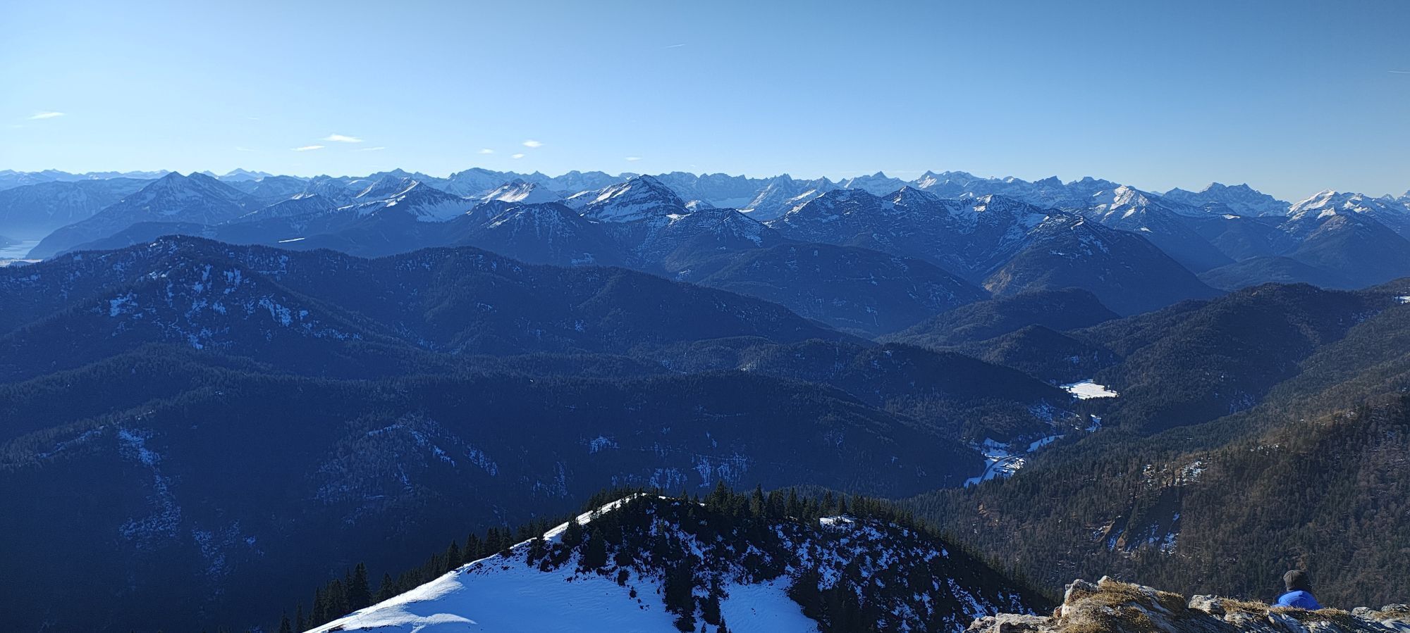


The hike leads to the ducal Königsalm with magnificent views of the Blauberge mountains and the Leonhardstein. In the idyllic, stately building, real royal children are said to have stayed overnight. Today,...
The hike leads to the ducal Königsalm with magnificent views of the Blauberge mountains and the Leonhardstein. In the idyllic, stately building, real royal children are said to have stayed overnight. Today, the horses of Duchess Helene in Bavaria graze leisurely among the alpine cows there.
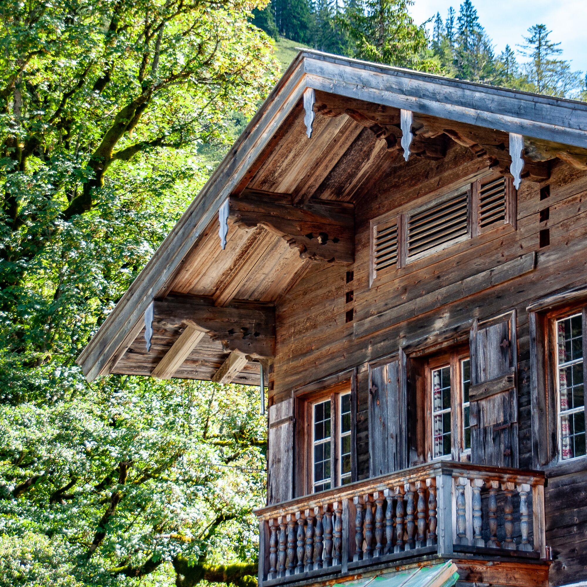
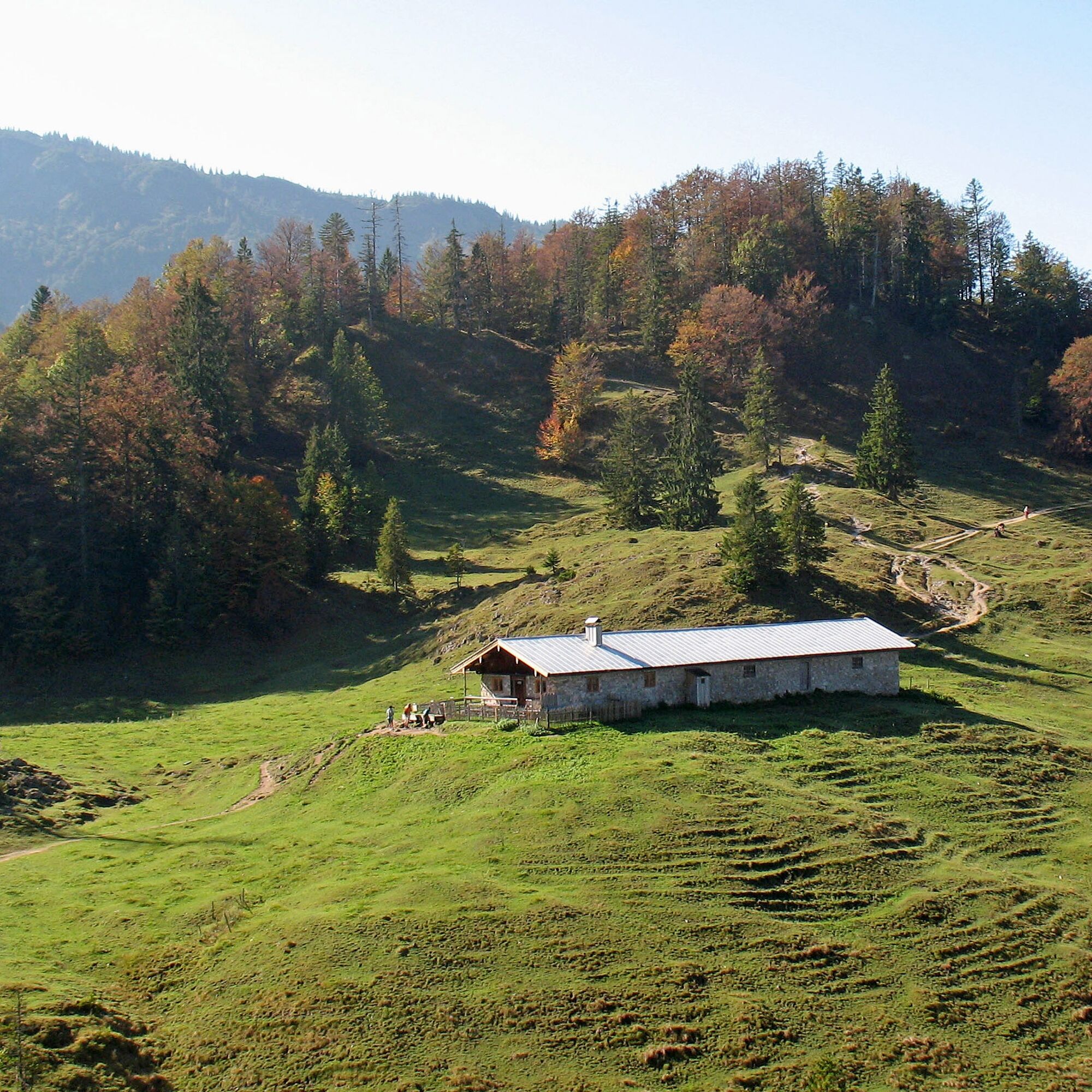
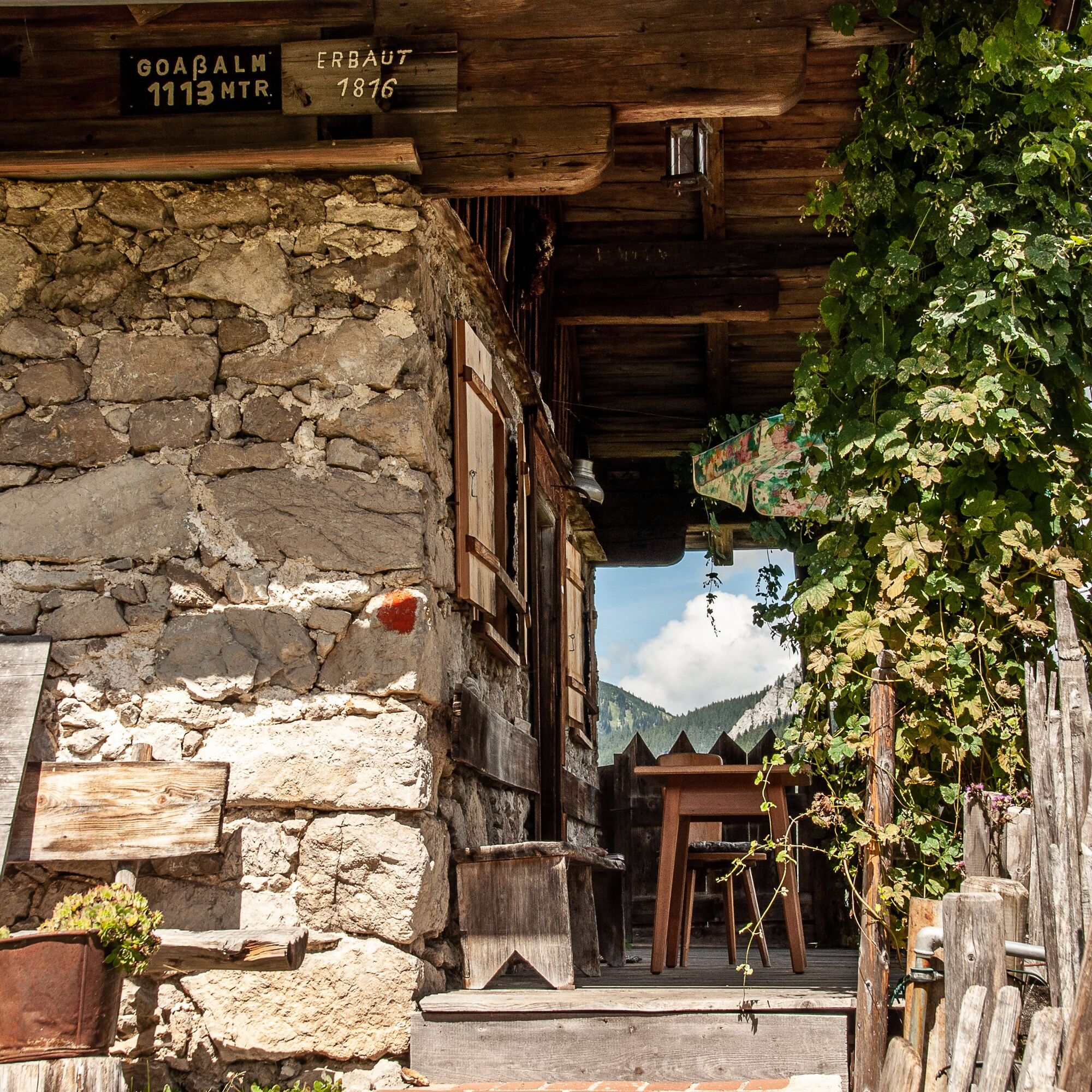

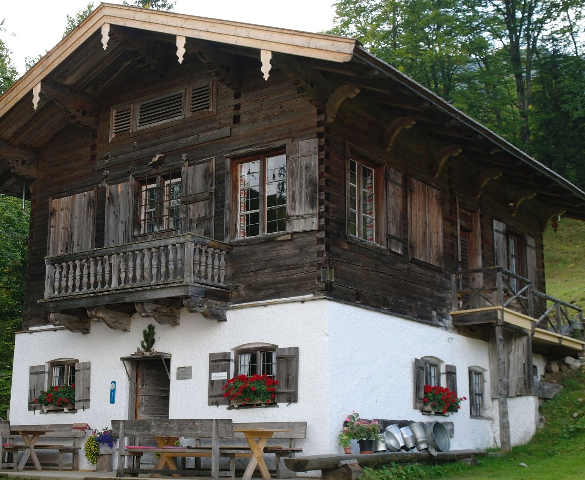
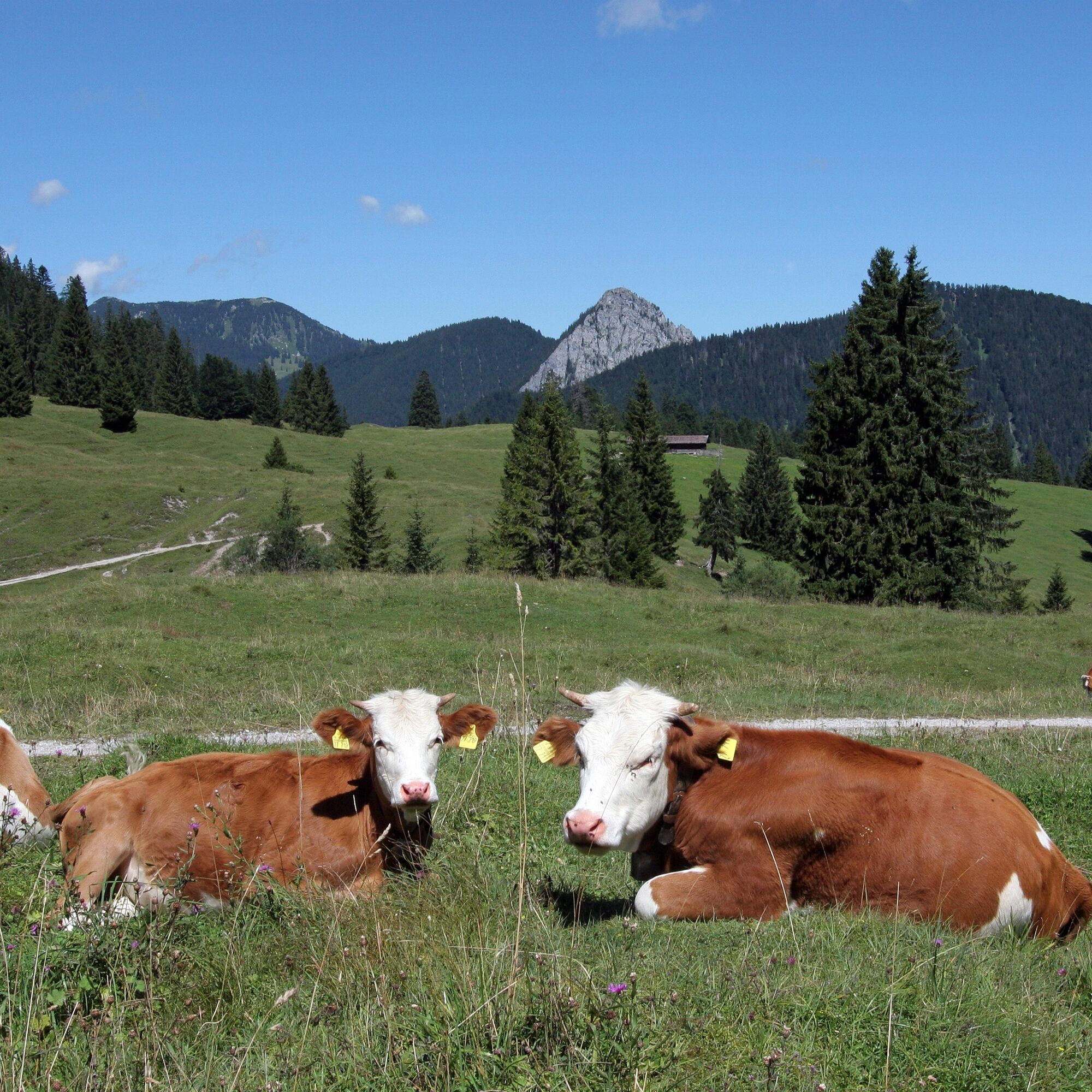
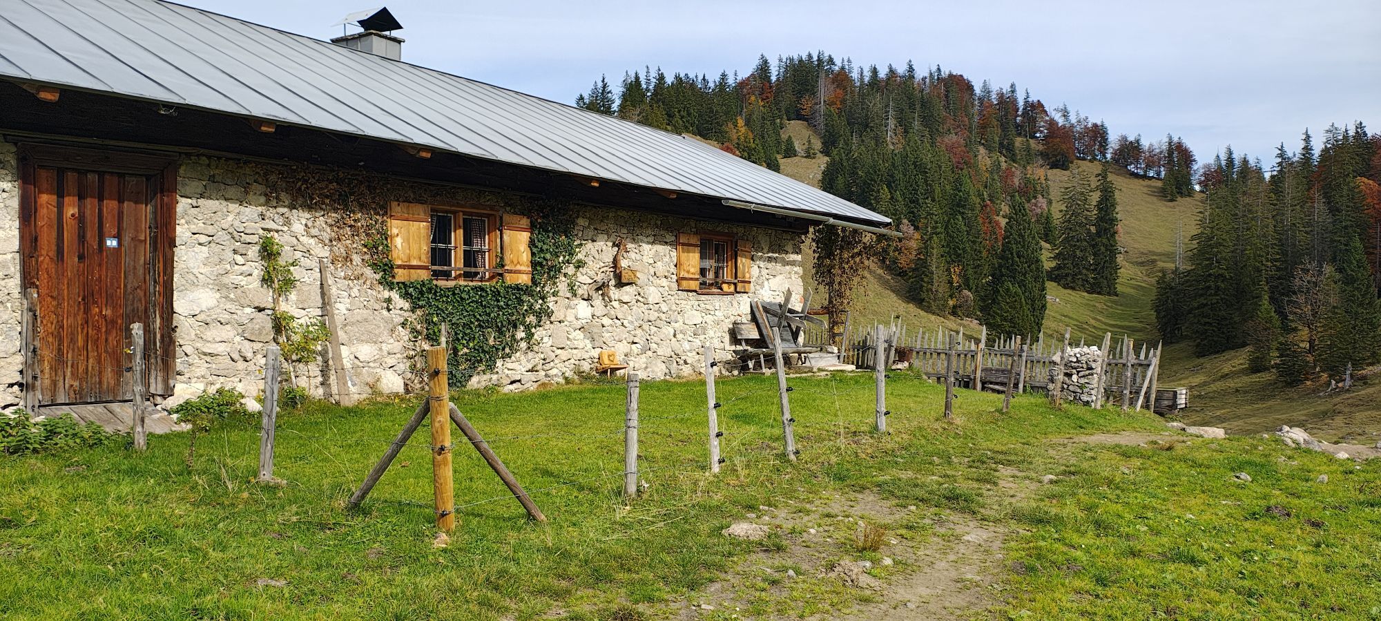
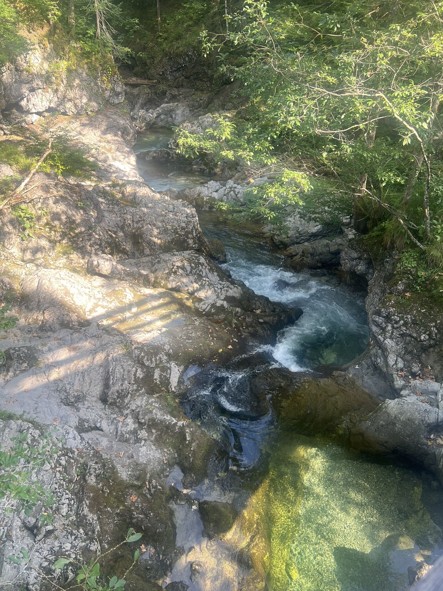
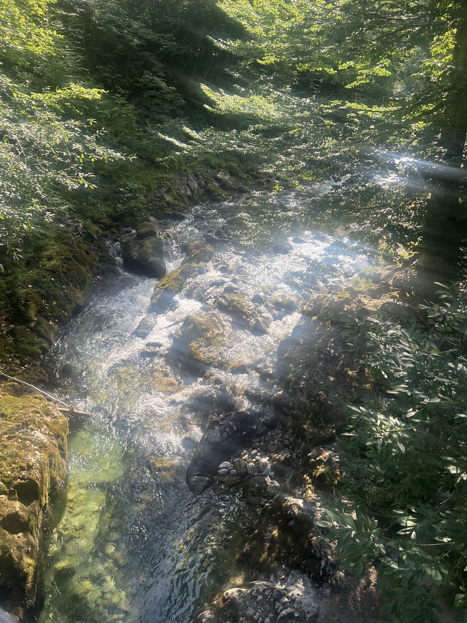
The starting point of the route is the Siebenhütten/Gernberg car park. We march over the bridge (path 502) and after about 500m reach the junction of the path to the Königsalm/Geißalm (615 right). Initially still flat, the path soon rises westwards through the mountain forest until we reach the Geißalm with its approximately 40-meter-long stone hut. On the original "Goaßalm," the goat whey obtained here was a sought-after remedy in the Wildbad spa. From the fork after the Geißalm, we choose the lower path branching off to the right to the Königsalm (615a). This leads us easily up the Klammgraben valley, over the stream, and south to the Königsalm, which is managed during the grazing season and has its 46-meter-long hut. The Königsalm is a prime example of Alpine-style building. The adjacent cavalier house was built under King Max I Joseph, who liked to use it. Above the whey chamber, he had a salon installed. He kept a Fleckvieh cattle herd of about 60 animals. It is said that even Sisi, the later Empress of Austria, carved her initials into the glass of one of the windows. Today you can enjoy a snack on the charming Alm with spicy herb curd cheese made on site or also homemade cakes. From the Königsalm, the path continues on a well-developed forest road first over open terrain, then down through the forest (615a). At the bottom, you meet hiking path 501, which takes us back along the Weißach river downstream to the starting point. At the end of the route, a visit is recommended to the nearby inn "Altes Bad" or a snack at the ducal fish farm Wildbad Kreuth.
Yes
Yes
Sturdy footwear as well as weather-appropriate clothing, possibly a rain jacket, water bottle, first aid kit
All information without guarantee. Hiking and driving on the routes described here are at your own risk.
A8 to Holzkirchen exit, then via B318 to Kreuth and on to Wildbad Kreuth.
Take the MVV to Kreuth, bus stop Wildbad Kreuth or Gernbergbrücke.
Parking lot Wildbad Kreuth or Siebenhütten/Gernbergbrücke.
Homemade cake at the Königsalm.
Popular tours in the neighbourhood
-
5,0
Summit route to the Wallberg
mediumPješačenje 12,2 km -
4,7
Lengrieser Hütte
mediumPješačenje 10,6 km -
4,7
Leonhardstein
mediumPješačenje 8,17 km -
4,1
Jägerkamp und Benzingspitze
mediumPješačenje 8 km -
4,0
Von der Kistenwinterstube zum Risserkogel
mediumPješačenje 10,4 km -
4,1
Tegernsee Höhenweg - North
lightPješačenje 12,3 km -
4,6
Roß- and Buchstein, Tegernsee Hut
heavyPješačenje 14,4 km -
4,8
Brecherspitze
mediumPješačenje 14,5 km -
4,7
Aueralm/Zwerglberg
mediumPješačenje 11,9 km -
5,0
Through the Pfanngraben to the Rotwand
mediumPješačenje 18,4 km
bergfex Tours


Ne propustite ponude i inspiraciju za vaš sljedeći odmor
Your e-mail address has been added to the mailing list.