


© Meckatzer Löwenbräu Benedikt Weiß KG - Silke Teltscher


- Kratak opis
-
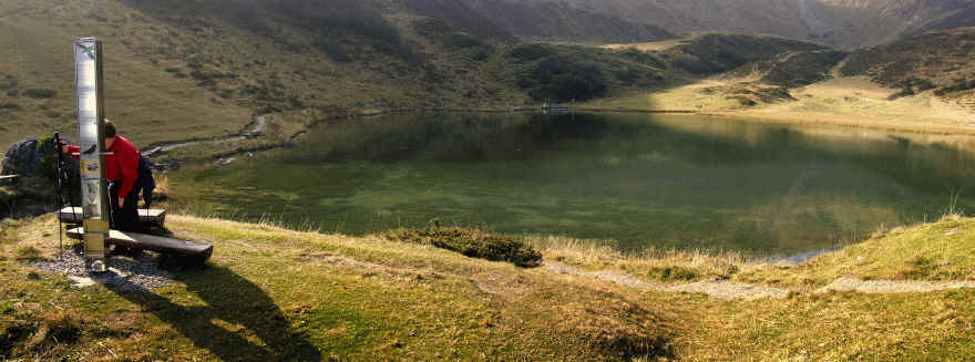
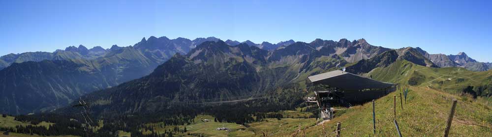
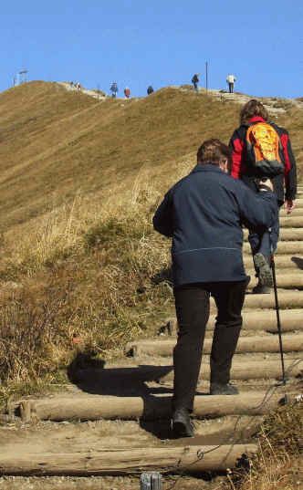
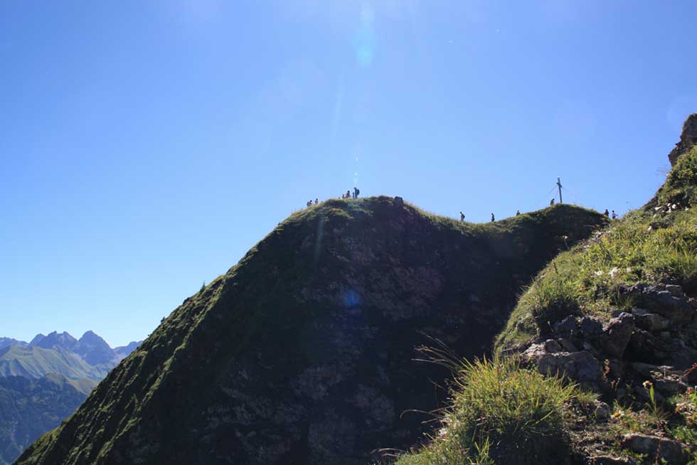
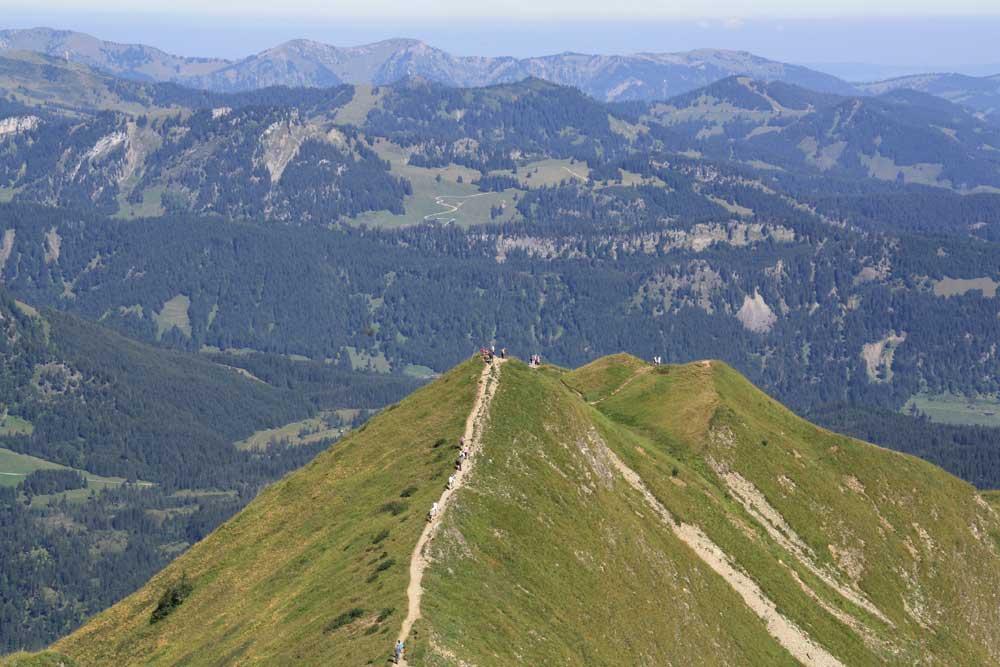
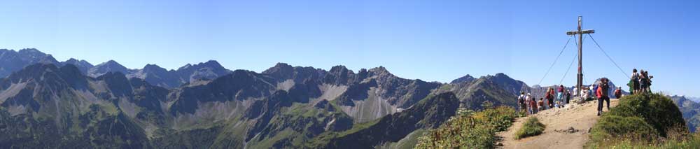
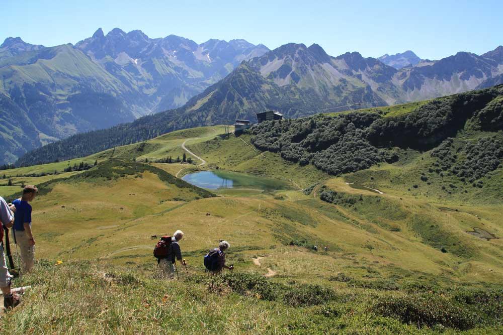
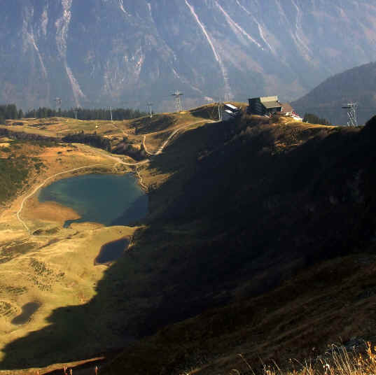
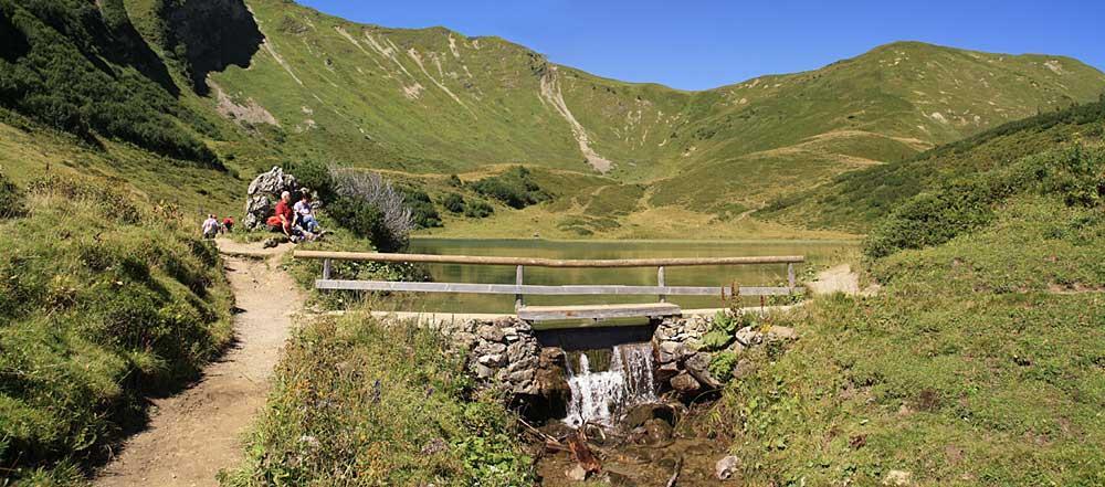
Familientaugliche Bergwanderung mit gigantischer Aussicht auf die Oberstdorfer Berge.
- Vrednovanje
-
- Wegverlauf
-
Fellhorn Gipfelstation (1.967 m)Fellhorn (2.038 m)0,3 km
- Höchster Punkt
- 2.028 m
- Zielpunkt
-
Parkplatz Talstation Fellhornbahn
- Höhenprofil
-
 © outdooractive.com


- Autor
-
Die Tour Fellhorn Rundweg - Allgäuer Picknickplätze wird von outdooractive.com bereitgestellt.
GPS Downloads


Opće informacije
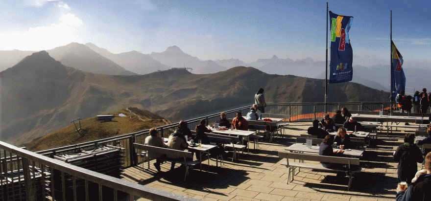
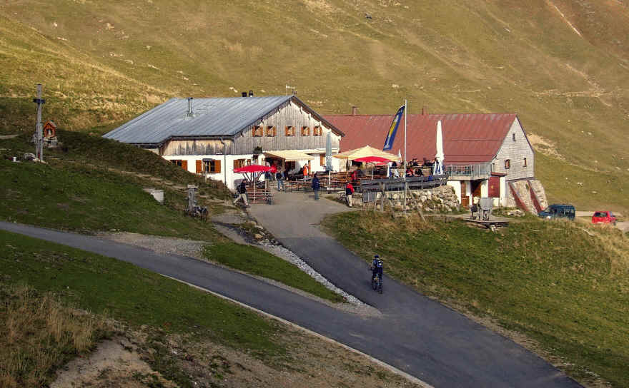
Einkehrmöglichkeit
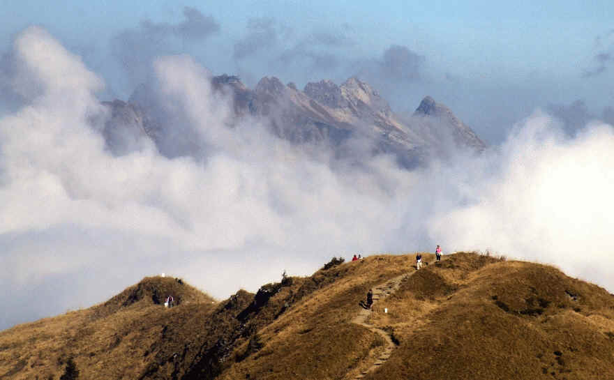
Aussichtsreich
Weitere Touren in den Regionen


