Keilberg - St. Michael - Donaustauf
medium
Navigate
Navigate
Get this tour on your mobile
Keilberg - St. Michael - Donaustauf
medium
Pješačenje
14,53
km
Scan the QR code and start navigation in the bergfex app

Hiking & Tracking


Distance
14,53
km
Duration
03:51
h
Ascent
331
m
Sea level
328 -
498
m
Track download
Keilberg - St. Michael - Donaustauf
medium
Pješačenje
14,53
km


Route
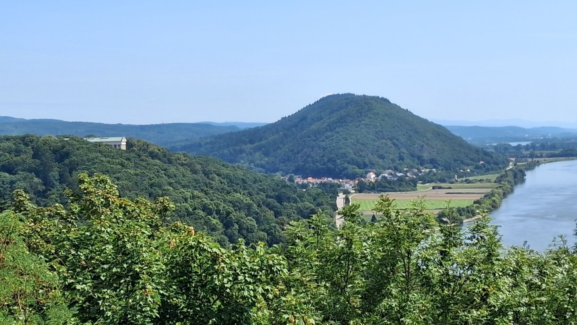
Keilberg
(443 m)
Neighbourhood
0,2 km
Keilberg
(476 m)
Summit
1,4 km
Föhrenschlag
(467 m)
Corridor/terrain
2,6 km
Föhrenschlag
(490 m)
Corridor/terrain
3,4 km
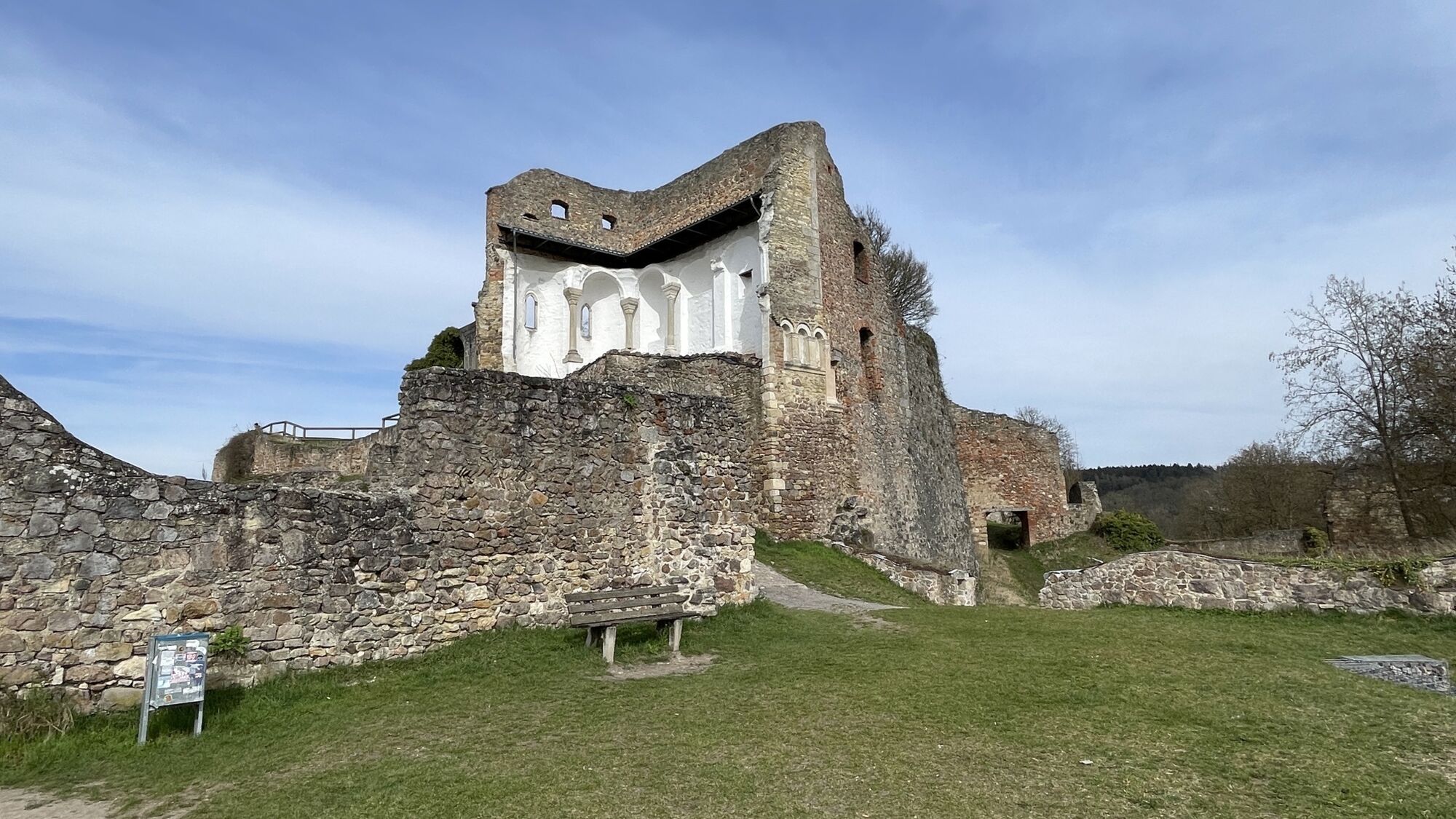
St. Michael
(358 m)
Place of worship
7,4 km
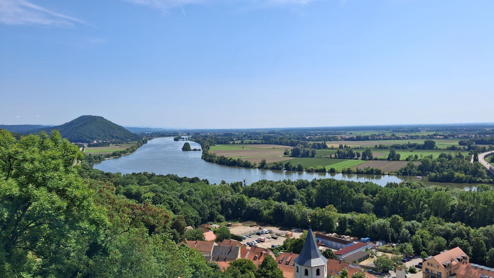
Donaustauf
(390 m)
Village
7,4 km
Keilberg
(476 m)
Summit
12,5 km
Route
Keilberg - St. Michael - Donaustauf
medium
Pješačenje
14,53
km
Keilberg
(443 m)
Neighbourhood
0,2 km
Keilberg
(476 m)
Summit
1,4 km
Föhrenschlag
(467 m)
Corridor/terrain
2,6 km
Föhrenschlag
(490 m)
Corridor/terrain
3,4 km
St. Michael
(358 m)
Place of worship
7,4 km
Donaustauf
(390 m)
Village
7,4 km
Keilberg
(476 m)
Summit
12,5 km
Keilberg
(443 m)
Neighbourhood
14,1 km
No reviews yet
Popular tours in the neighbourhood
-
5,0
Rundwanderweg Räuberhöhle Nittendorf
mediumPješačenje 4,22 km -
Regensburg-Nittenau
mediumInline-Skating 36,1 km -
Donaustauf, Hoher Markstein, Silberweiher, Hammermühle
lightŠetati 13,2 km -
Straubing
heavyInline-Skating 42,3 km -
Rund um
lightPješačenje 4,72 km -
5,0
Koreawirtrunde
mediumPješačenje 11,1 km -
Tegernheim
lightŠetati 3,61 km -
4,0
Fürstlicher Thiergarten
lightPješačenje 7,21 km -
5,0
Silberweiher, Walhalla
lightŠetati 8,68 km -
5,0
Karmelitenkirche Sankt Joseph - St. Wolfgang - Hanselberg - St. Christopherus
lightVozi bicikl 22,2 km

bergfex Tours

Over 550.000 tour suggestions, detailed maps and an intuitive route planner make the app a must-have for all nature enthusiasts.

Ne propustite ponude i inspiraciju za vaš sljedeći odmor
Subscribe to the newsletter
Error
An error has occurred. Please try again.
Thank you for your registration
Your e-mail address has been added to the mailing list.
Tours throughout Europe
Austrija
Švicarska
Njemačka
Italija
Slovenija
Francuska
Nizozemska
Belgija
Poljska
Lihtenštajn
Češka
Slovačka
Španija
Hrvatska
Bosna i Hercegovina
Luksemburg
Andora
Portugal
Island
Ujedinjeno Kraljevstvo
Irska
Grčka
Albanija
Sjeverna Makedonija
Malta
Norveška
Crna Gora
Moldova
Kosovo
Mađarska
San Marino
Rumunjska
Estonija
Latvija
Bjelorusija
Cipar
Litva
Srbija
Bugarska
Monako
Danska
Švedska
Finska