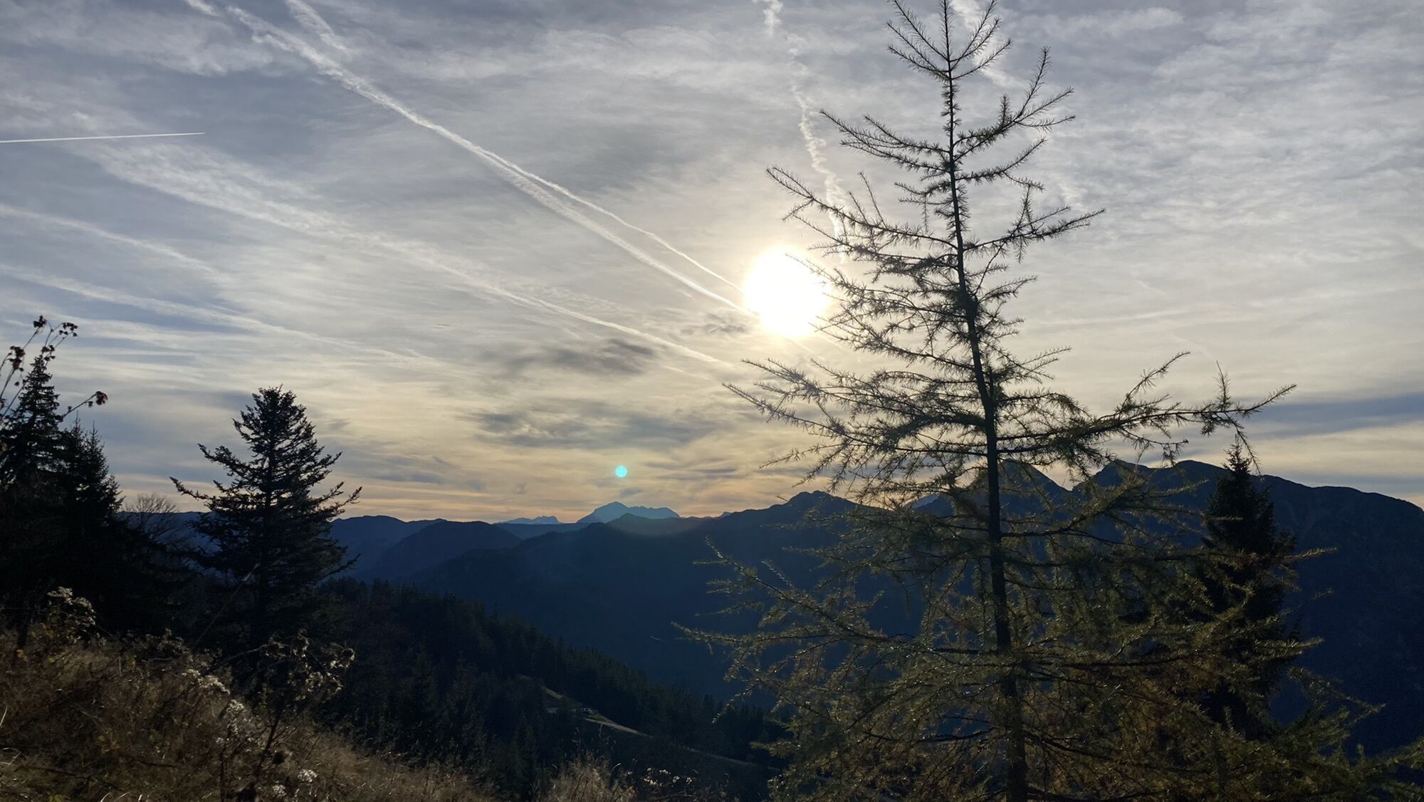
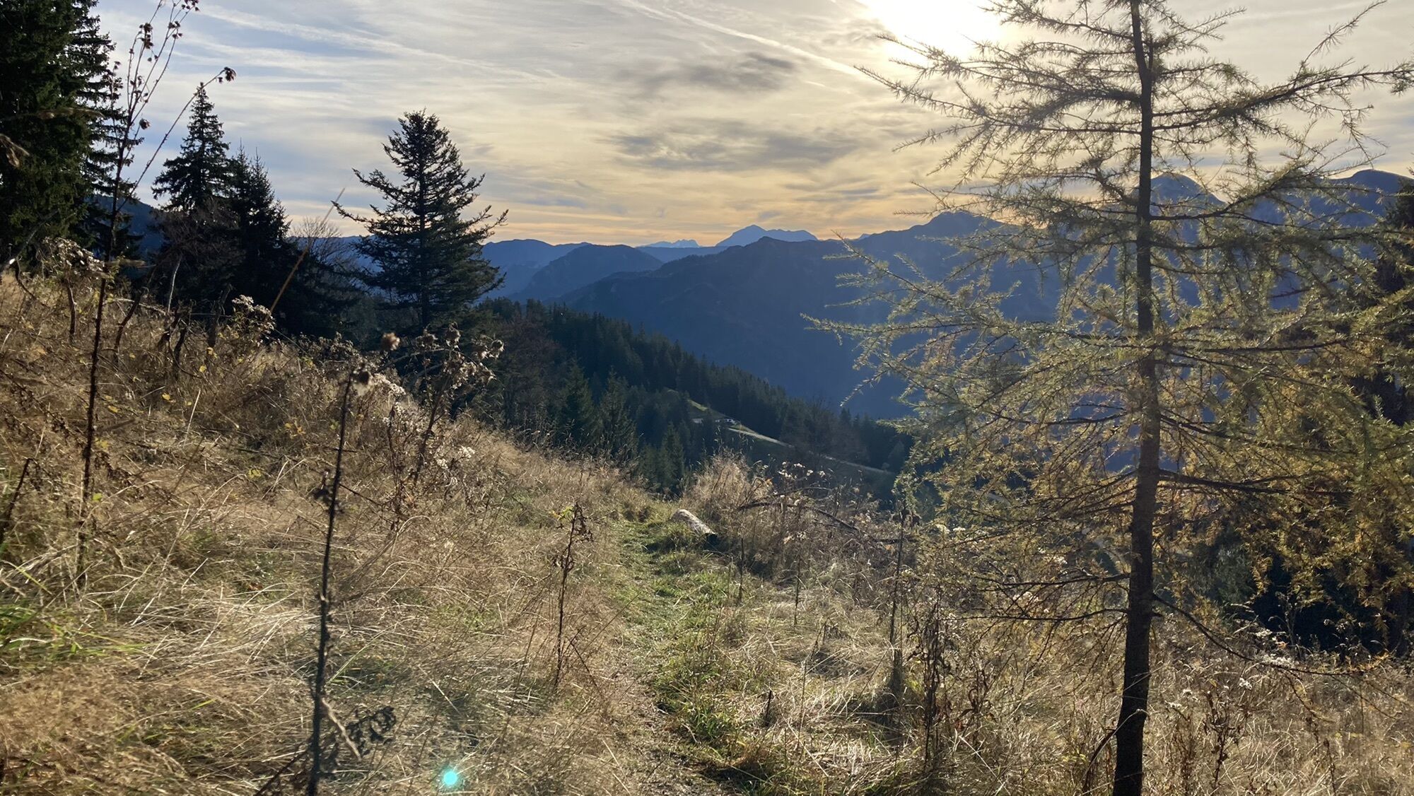
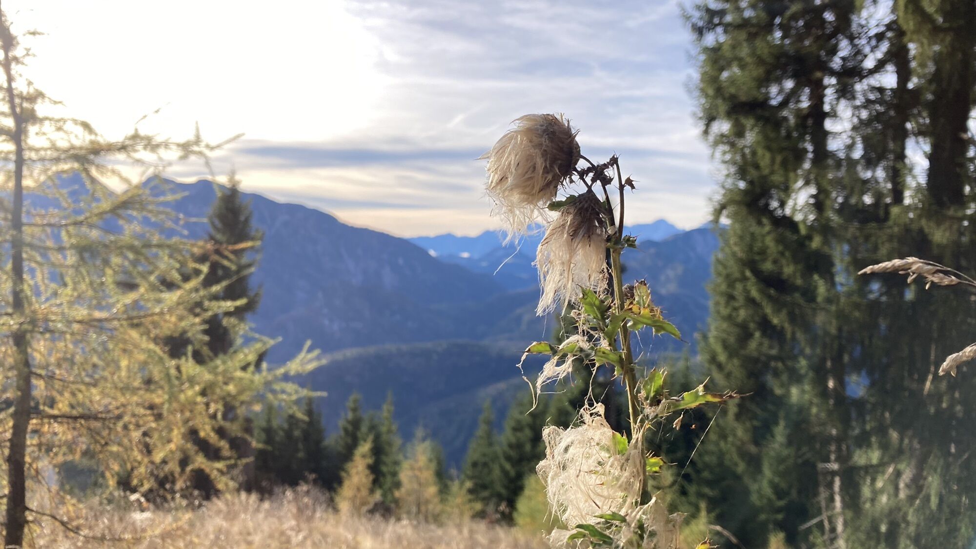
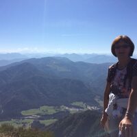
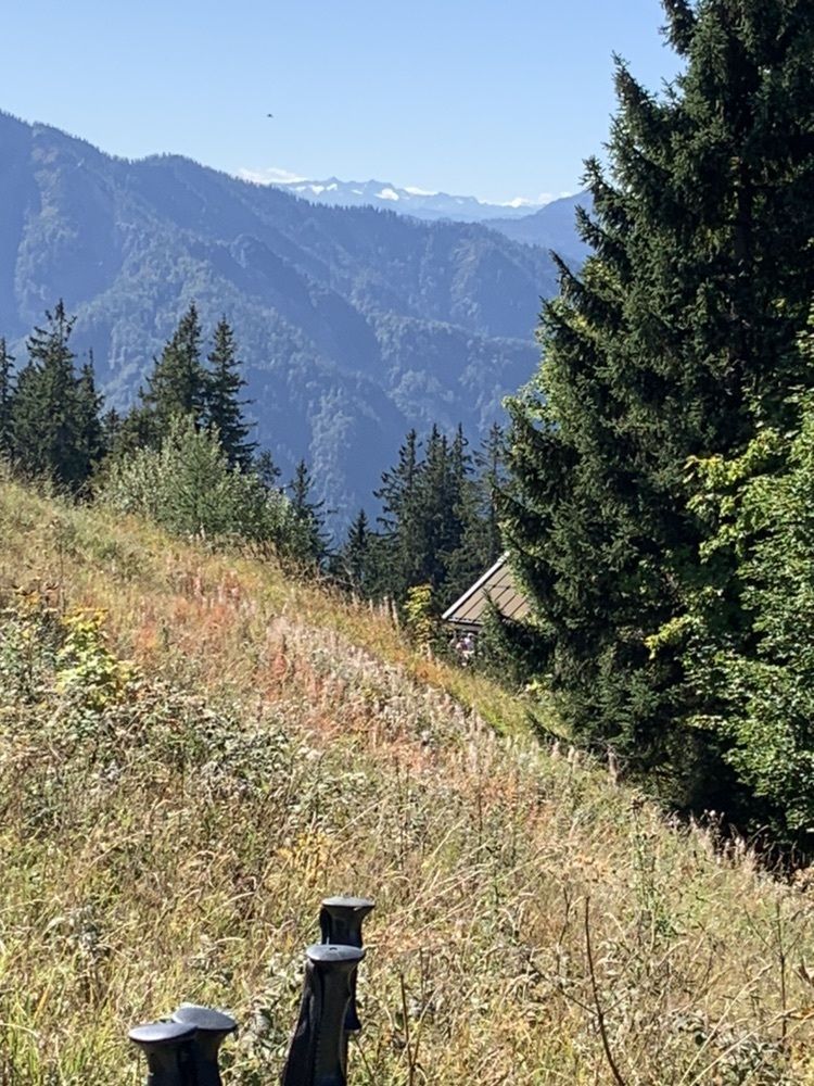
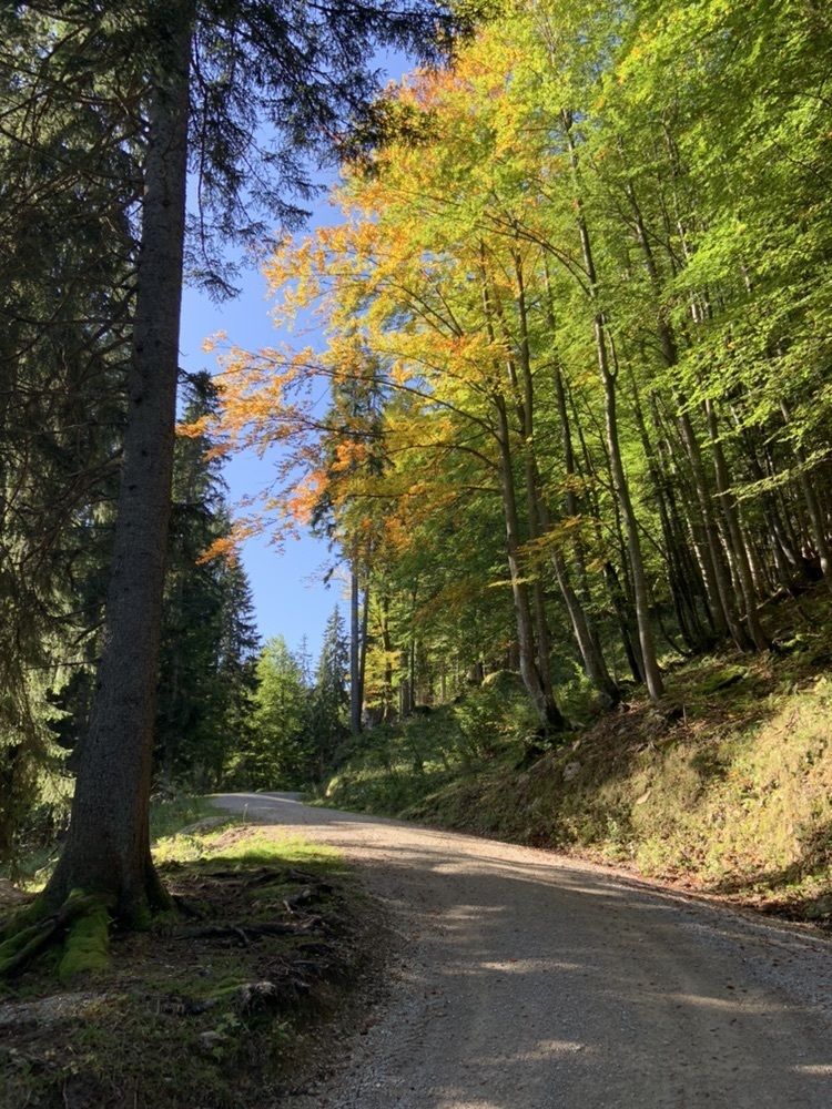
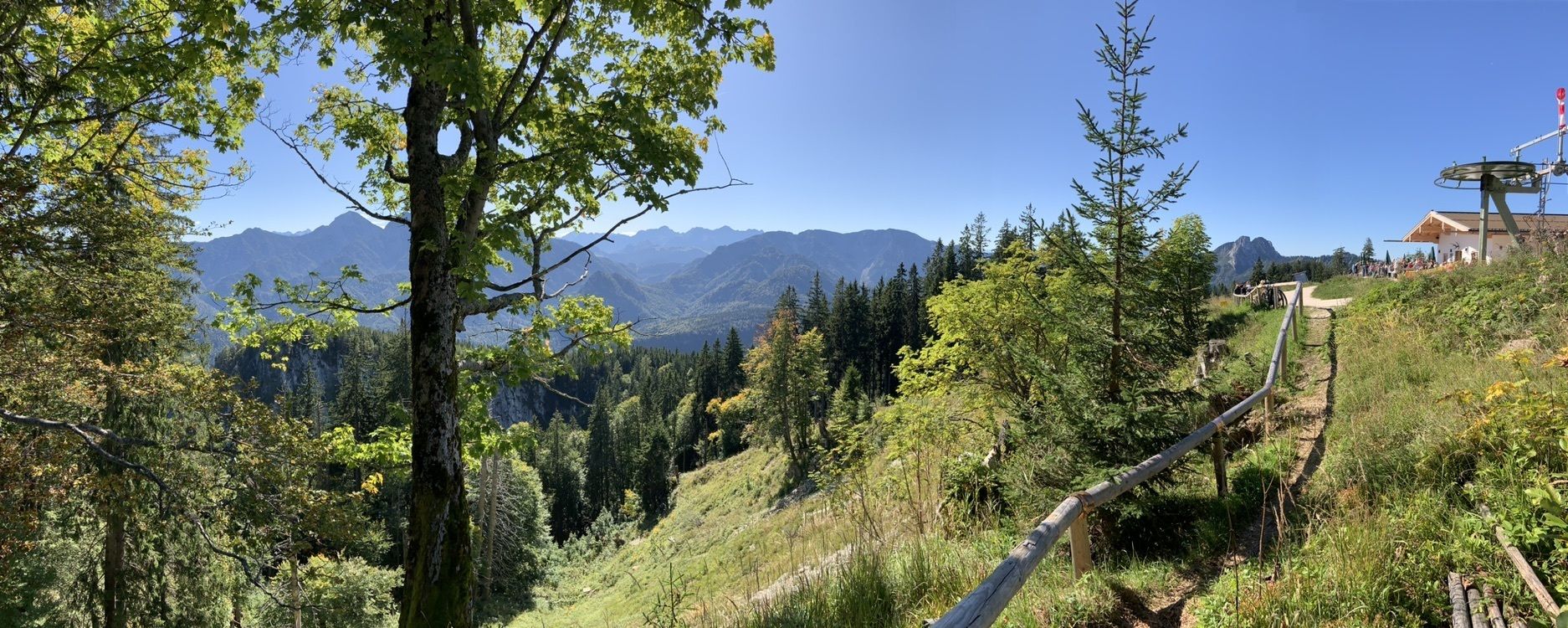
Unternberg Wanderung
medium
Navigate
Navigate
Get this tour on your mobile
Unternberg Wanderung
medium
Pješačenje
8,07
km
Scan the QR code and start navigation in the bergfex app

Hiking & Tracking


Distance
8,07
km
Duration
02:24
h
Ascent
509
m
Sea level
907 -
1.414
m
Track download
Unternberg Wanderung
medium
Pješačenje
8,07
km


Route
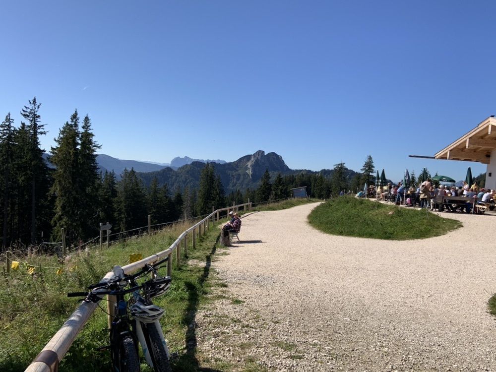
Boider Kaser
(1.357 m)
Restaurant
3,0 km
Unternbergalm
(1.409 m)
Restaurant
3,8 km
Bergstation Unternberglift
(1.411 m)
Gondola station
3,9 km
Unternberg
(1.450 m)
Summit
4,0 km
Route
Unternberg Wanderung
medium
Pješačenje
8,07
km
Boider Kaser
(1.357 m)
Restaurant
3,0 km
Unternbergalm
(1.409 m)
Restaurant
3,8 km
Bergstation Unternberglift
(1.411 m)
Gondola station
3,9 km
Unternberg
(1.450 m)
Summit
4,0 km
Valuations
5
(3)
4
(3)
3
(1)
2
(0)
1
(0)
Webcams of the tour
-
Ortseingang von Ruhpolding
-
Steinberger Hof
-
Talstation Westernberglift
-
Talstation Westernberglift
-
Bojernhof
-
Bojernhof
-
Bojernhof
-
Bojernhof
-
Bojernhof
-
Chiemgau Arena
-
Chiemgau Arena
-
Chiemgau Arena
-
Chiemgau Arena
-
Chiemgau Arena
-
Chiemgau Arena
-
Chiemgau Arena
-
Eggerschneid
-
Unternberg Ruhpolding
-
Unternberg Sesselbahn Talstation
-
Ruhpolding Richtung Süden
-
Chiemgau - Coaster Ruhpolding
-
Rauschberg
-
Westernberg
-
Westernberg
-
Westernberg
-
Westernberg
Popular tours in the neighbourhood
-
4,5
Hochgern
mediumPješačenje 15,1 km -
3,5
Hochfelln über Bründling Alm
mediumPješačenje 7,93 km -
3,3
Zwiesel-Runde
Pješačenje 11,0 km -
4,6
CHIEMGAU: Hörndlwand (1684m), Gurnwandkopf (1691m)
lightPješačenje 12,6 km -
4,4
Hochgernhaus
mediumPješačenje 15,1 km -
4,4
Unternberg
lightPješačenje 9,20 km -
3,2
Rauschberg Rundwanderung über Sackgrabensteig
lightPješačenje 18 km -
5,0
Sonntagshorn über Hochalm (Unken, Heutalbauer)
mediumPješačenje 11,2 km -
4,2
Hochfelln Gipfel
mediumPješačenje 5,62 km -
3,3
Aschauerklamm
Pješačenje 15,1 km
bergfex Tours

Over 550.000 tour suggestions, detailed maps and an intuitive route planner make the app a must-have for all nature enthusiasts.

Ne propustite ponude i inspiraciju za vaš sljedeći odmor
Subscribe to the newsletter
Error
An error has occurred. Please try again.
Thank you for your registration
Your e-mail address has been added to the mailing list.
Tours throughout Europe
Austrija
Švicarska
Njemačka
Italija
Slovenija
Francuska
Nizozemska
Belgija
Poljska
Lihtenštajn
Češka
Slovačka
Španija
Hrvatska
Bosna i Hercegovina
Luksemburg
Andora
Portugal
Island
Ujedinjeno Kraljevstvo
Irska
Grčka
Albanija
Sjeverna Makedonija
Malta
Norveška
Crna Gora
Moldova
Kosovo
Mađarska
San Marino
Rumunjska
Estonija
Latvija
Bjelorusija
Cipar
Litva
Srbija
Bugarska
Monako
Danska
Švedska
Finska