Bridge building river Leiblach: Hiking along the border river - Waterways in the Western Allgaeu


")
- Kratak opis
-
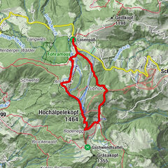
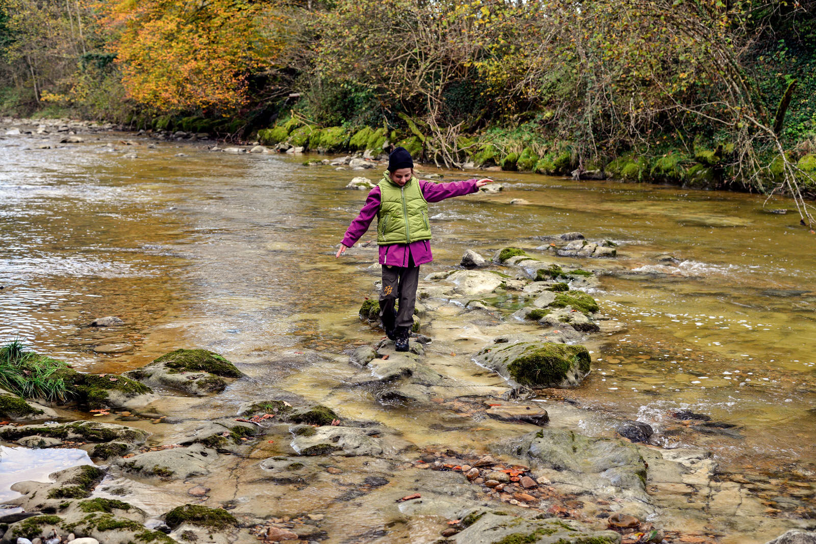
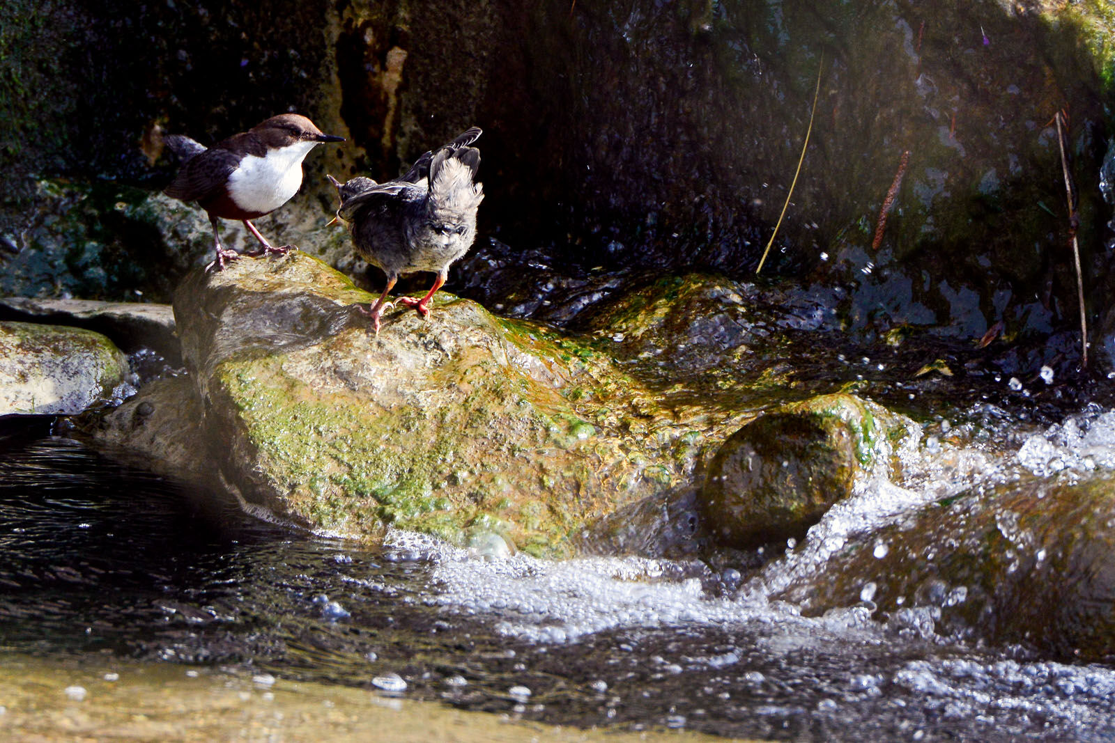
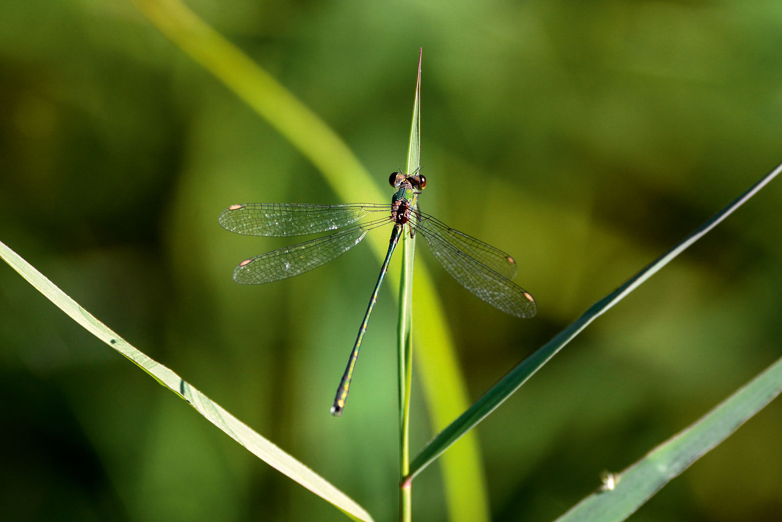
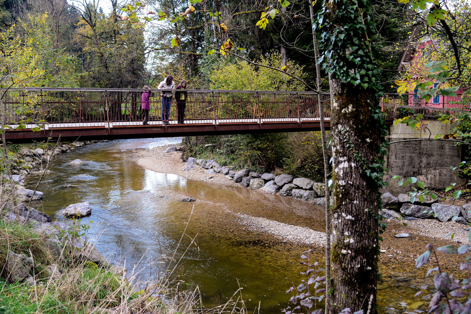
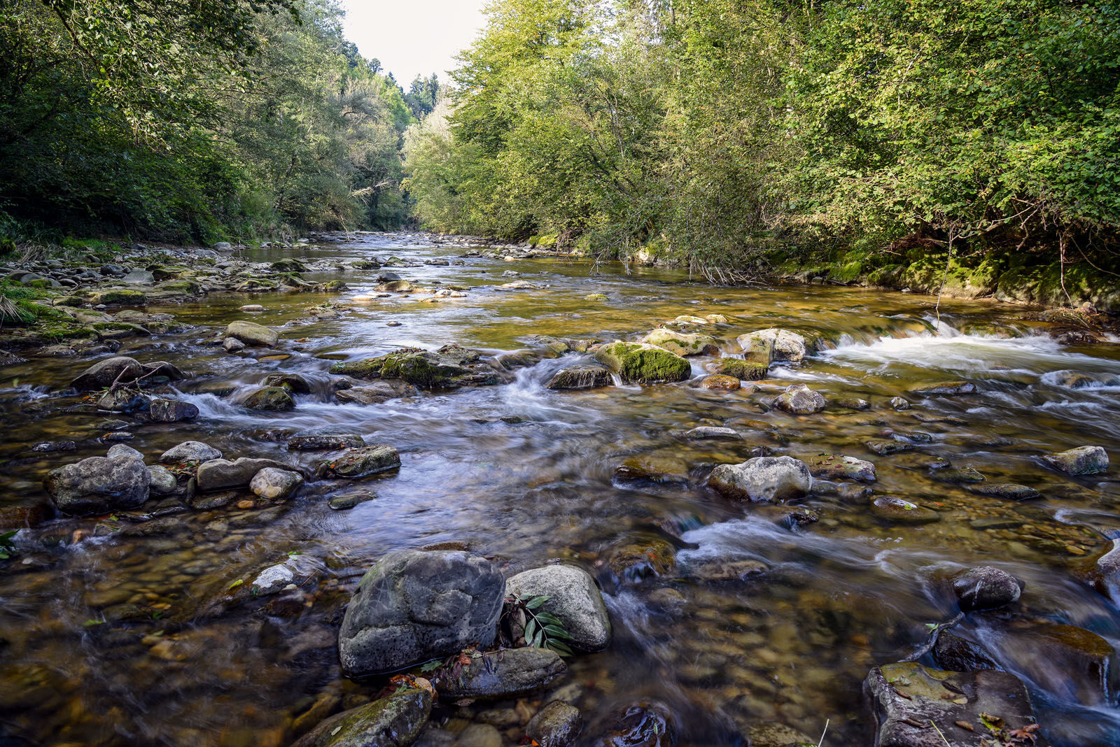
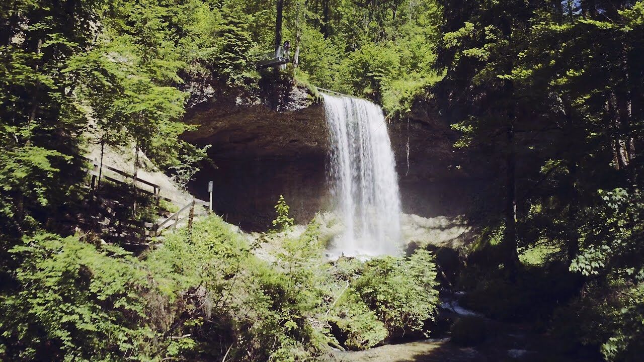
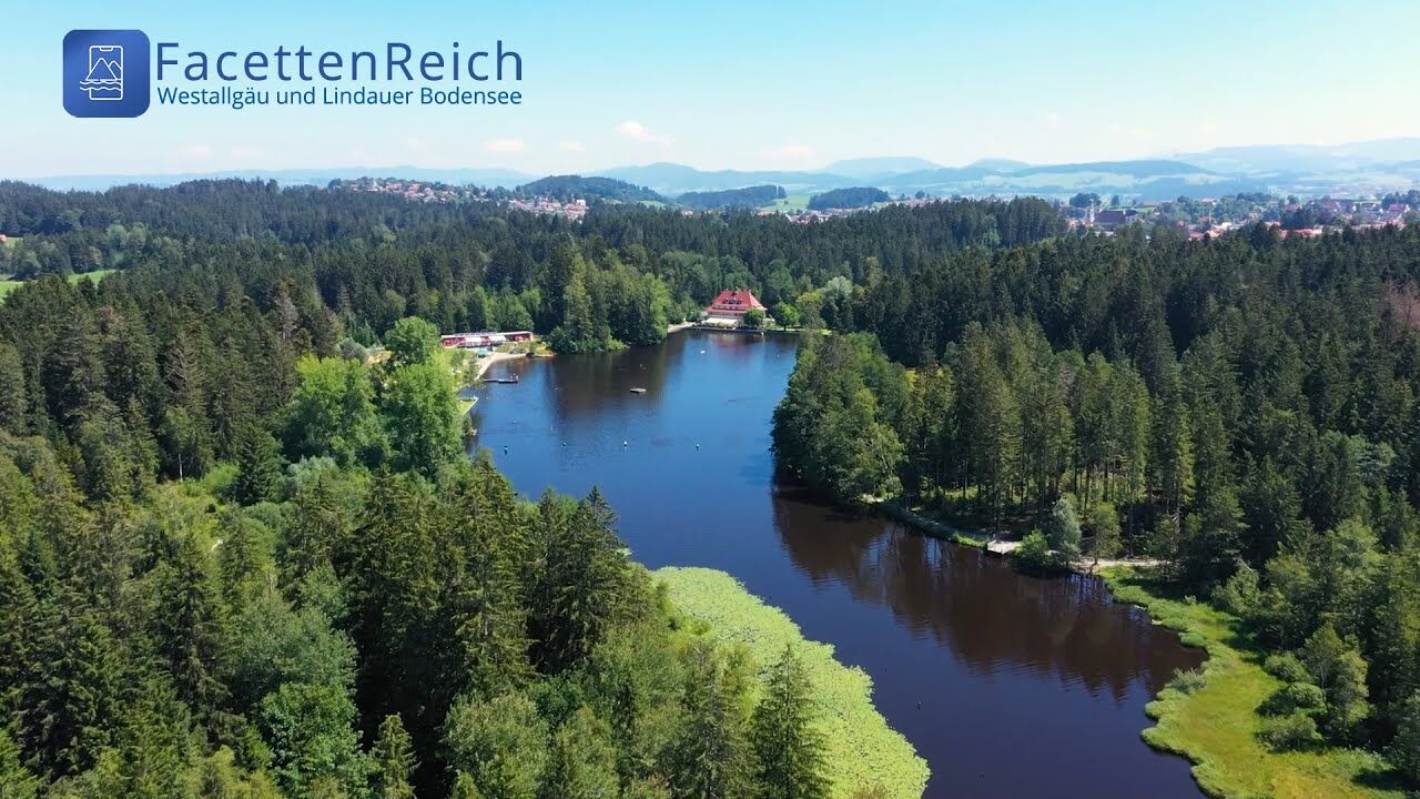
Three tours of the waterways of the Western Allgaeu (29,30 and 31) invite you to a cross-border discovery journey to the valley of the Leiblach. According to the motto 'building bridges'. The valley's lifeline is the river Leiblach, a near-natural river of the low mountain range, which leads to Lake Constance between Lindau and Hörbranz. The river's lower course marks the boarder between Germany and Austria. Enchanted ravine creeks, shady canyon forests, gushing waterfalls and much more views are waiting for the hikers. Tour no. 29 is an easy, but varied round tour for the whole family, running mainly on forest and meadow paths.
- Teškoća
-
lagano
- Vrednovanje
-
- Wegverlauf
-
St. GallusSigmarszell0,1 kmHubers2,6 kmGasthaus zum Bad Diezlings3,5 kmRied6,3 kmEgons Buschenschank6,3 kmSt. Gallus7,5 kmSigmarszell7,5 km
- Beste Jahreszeit
-
sijveljožutrasvilipsrpkolrujlisstupro
- Höchster Punkt
- 485 m
- Zielpunkt
-
Sigmarszell Kirchdorf / alternatively Sigmarszell Kirchdorf / alternativ community office Hohenweiler Hohenweiler
- Höhenprofil
-
 © outdooractive.com

- Autor
-
Die Tour Bridge building river Leiblach: Hiking along the border river - Waterways in the Western Allgaeu wird von outdooractive.com bereitgestellt.


Opće informacije
-
Bodensee - Deutschland
1105
-
Lindau - Bodensee Bayern
1111
-
Hörbranz
250