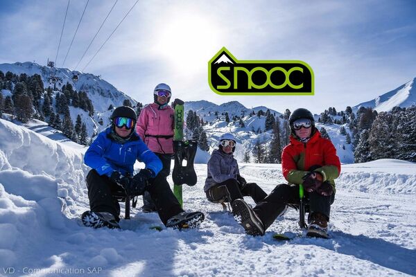
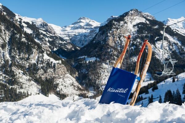
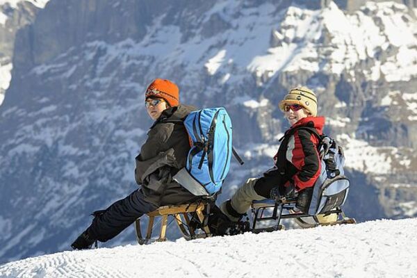
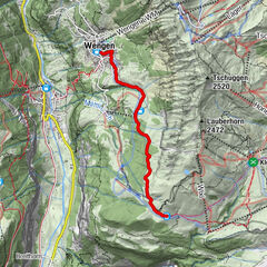
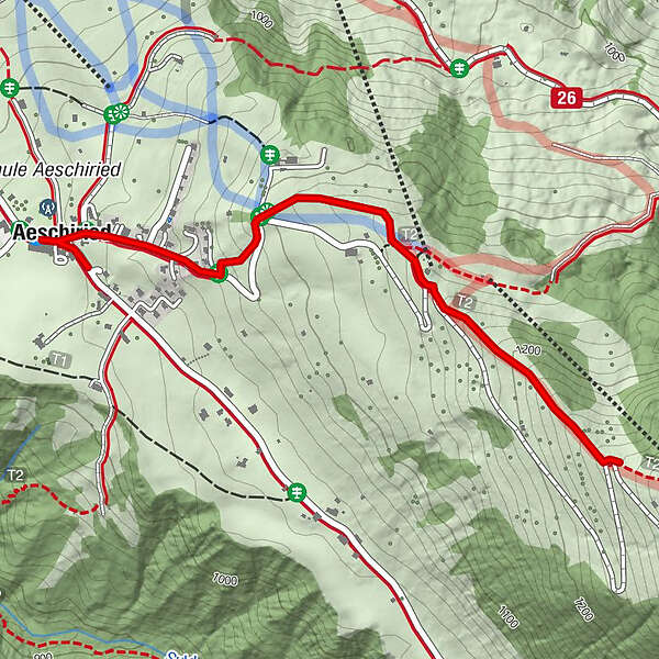
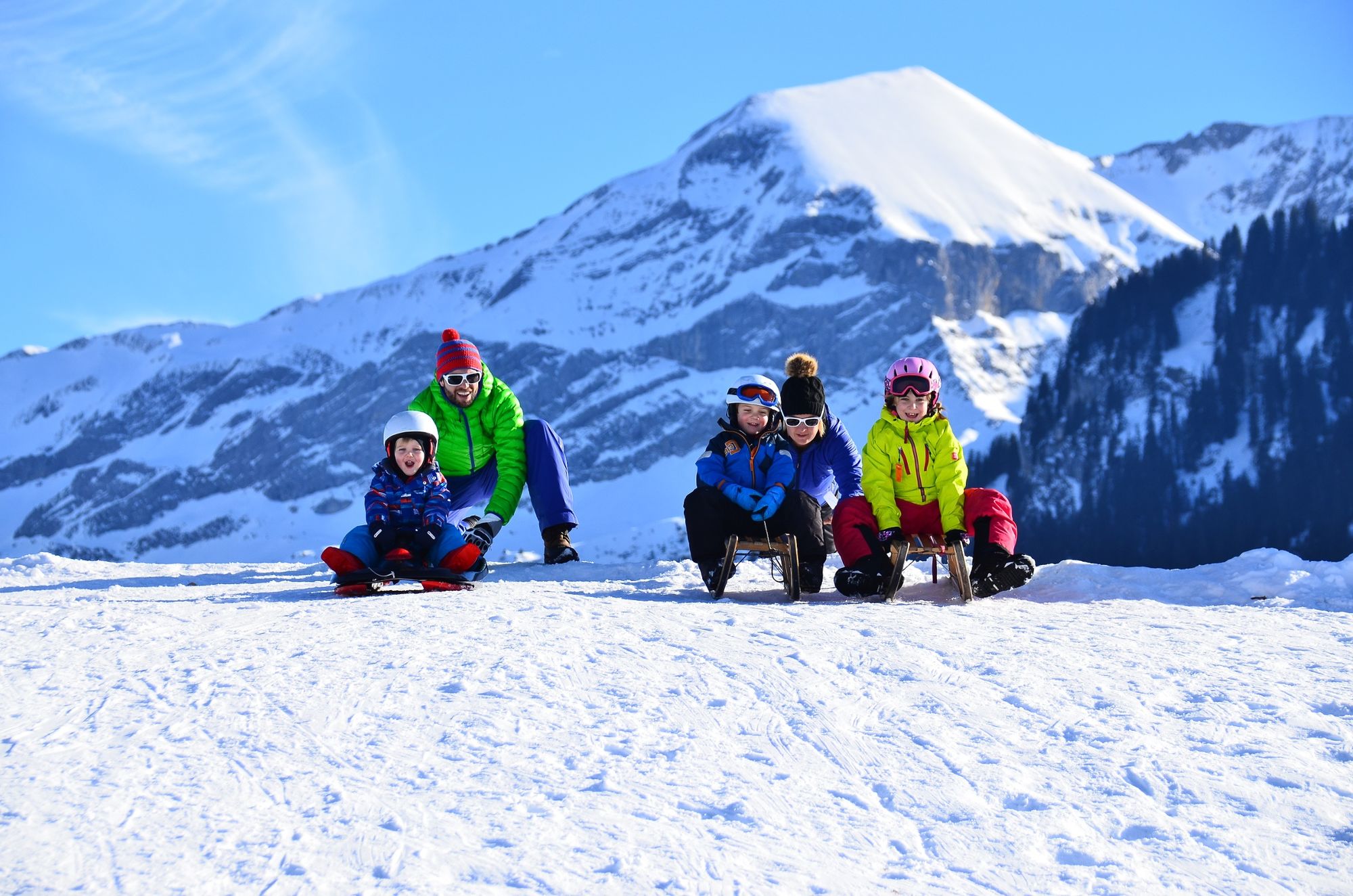
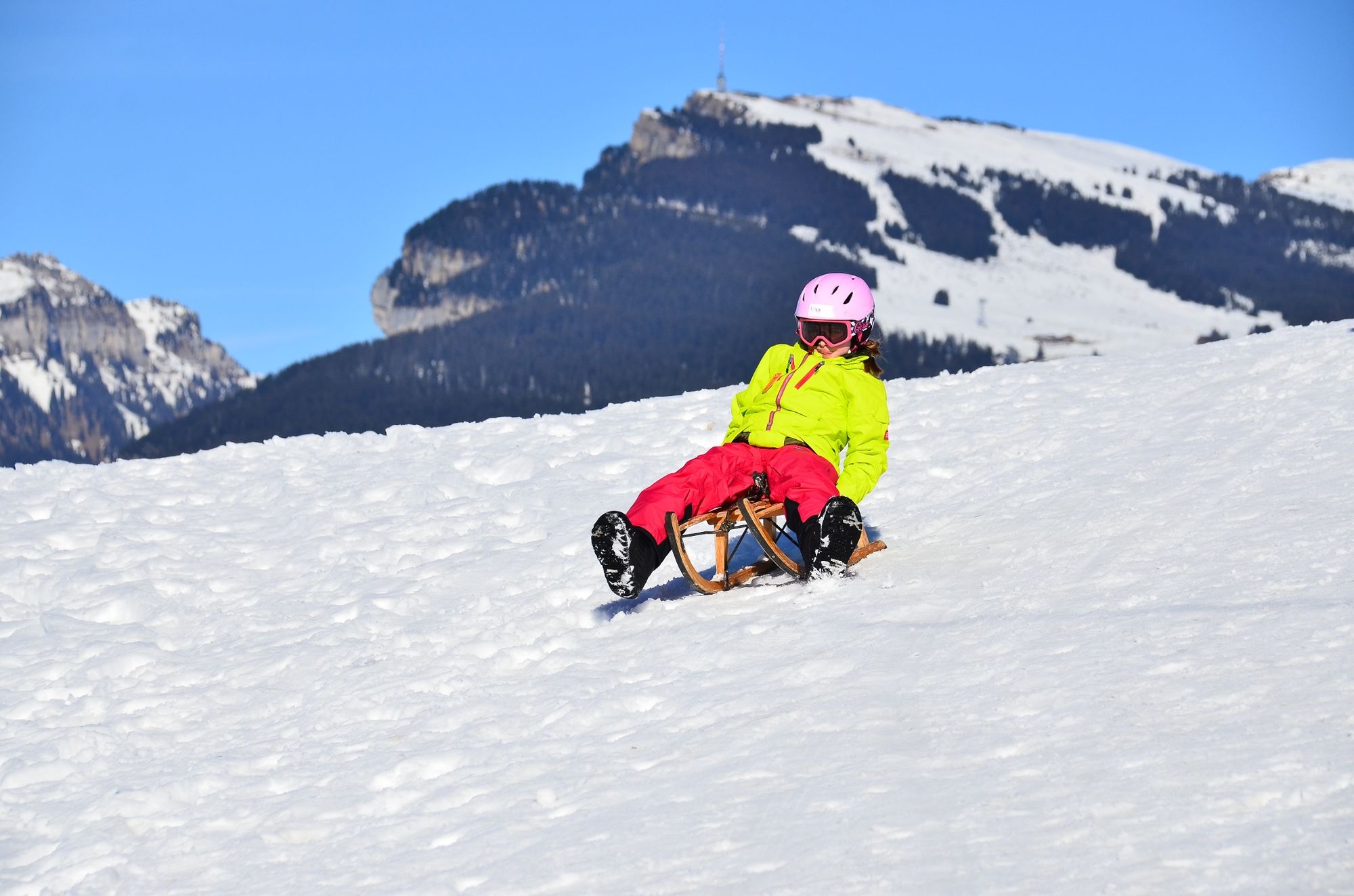
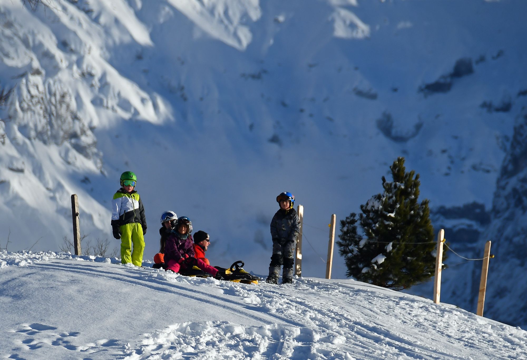
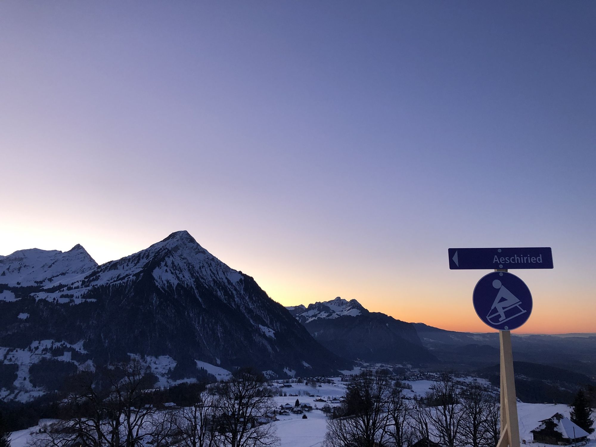
Aeschiried sledging run with magnificent views high above Lake Thun


- Kratak opis
-
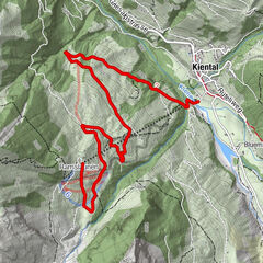
The sledging run starts on the Allmispitz and ends in Aeschiried (Scheidmatte), a few metres from the PostBus stop and the car park. There are several routes to choose from, all of which lead to the same end point.
- Teškoća
-
srednje
- Vrednovanje
-
- Wegverlauf
-
Aeschiried (1.015 m)0,0 kmPanorama0,1 kmPanorama3,0 km
- Beste Jahreszeit
-
kolrujlisstuprosijveljožutrasvilipsrp
- Höchster Punkt
- 1.266 m
- Zielpunkt
-
Aeschiried car park
- Höhenprofil
-
 © outdooractive.com

- Autor
-
Die Tour Aeschiried sledging run with magnificent views high above Lake Thun wird von outdooractive.com bereitgestellt.
GPS Downloads


Opće informacije
Einkehrmöglichkeit
Geheimtipp
Aussichtsreich
Weitere Touren in den Regionen
-
Oberwallis
95
-
Thunersee
49
-
Krattigen
8