© Naturpark Diemtigtal - Markus Ruch


© Naturpark Diemtigtal - Markus Ruch

© Naturpark Diemtigtal - Markus Ruch

© Naturpark Diemtigtal - Markus Ruch

© Naturpark Diemtigtal - Markus Ruch

© Naturpark Diemtigtal - Markus Ruch

© Naturpark Diemtigtal - Markus Ruch

© Naturpark Diemtigtal - Markus Ruch


- Kratak opis
-
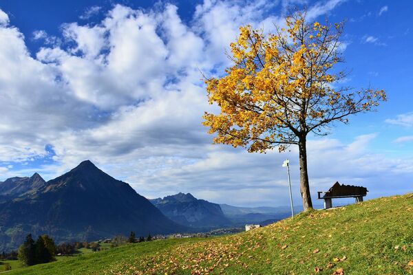
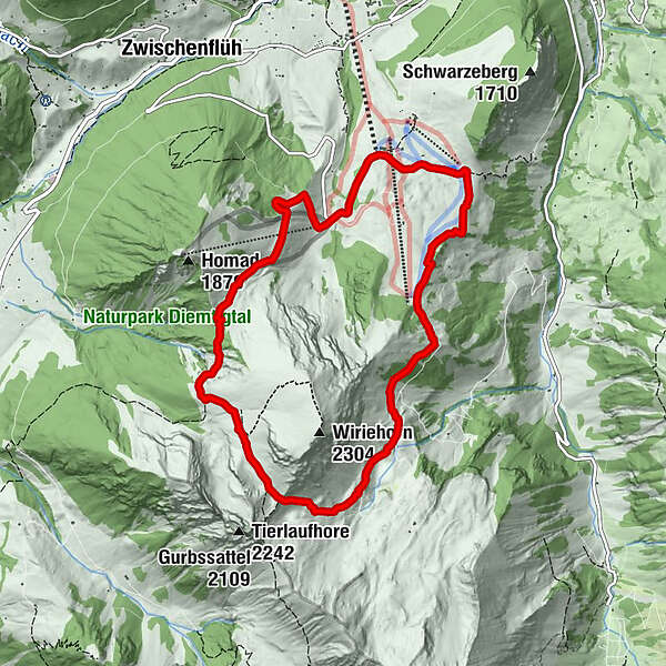
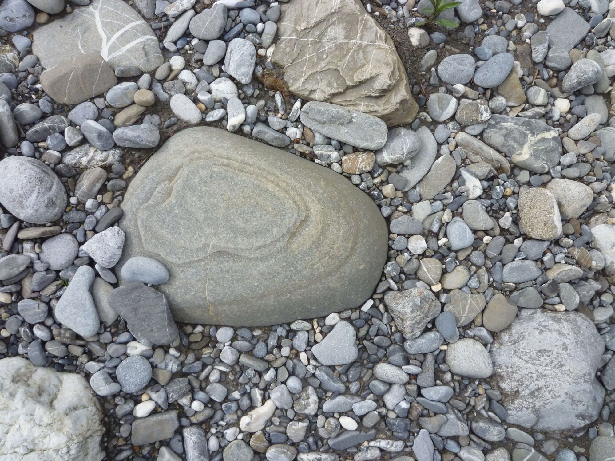
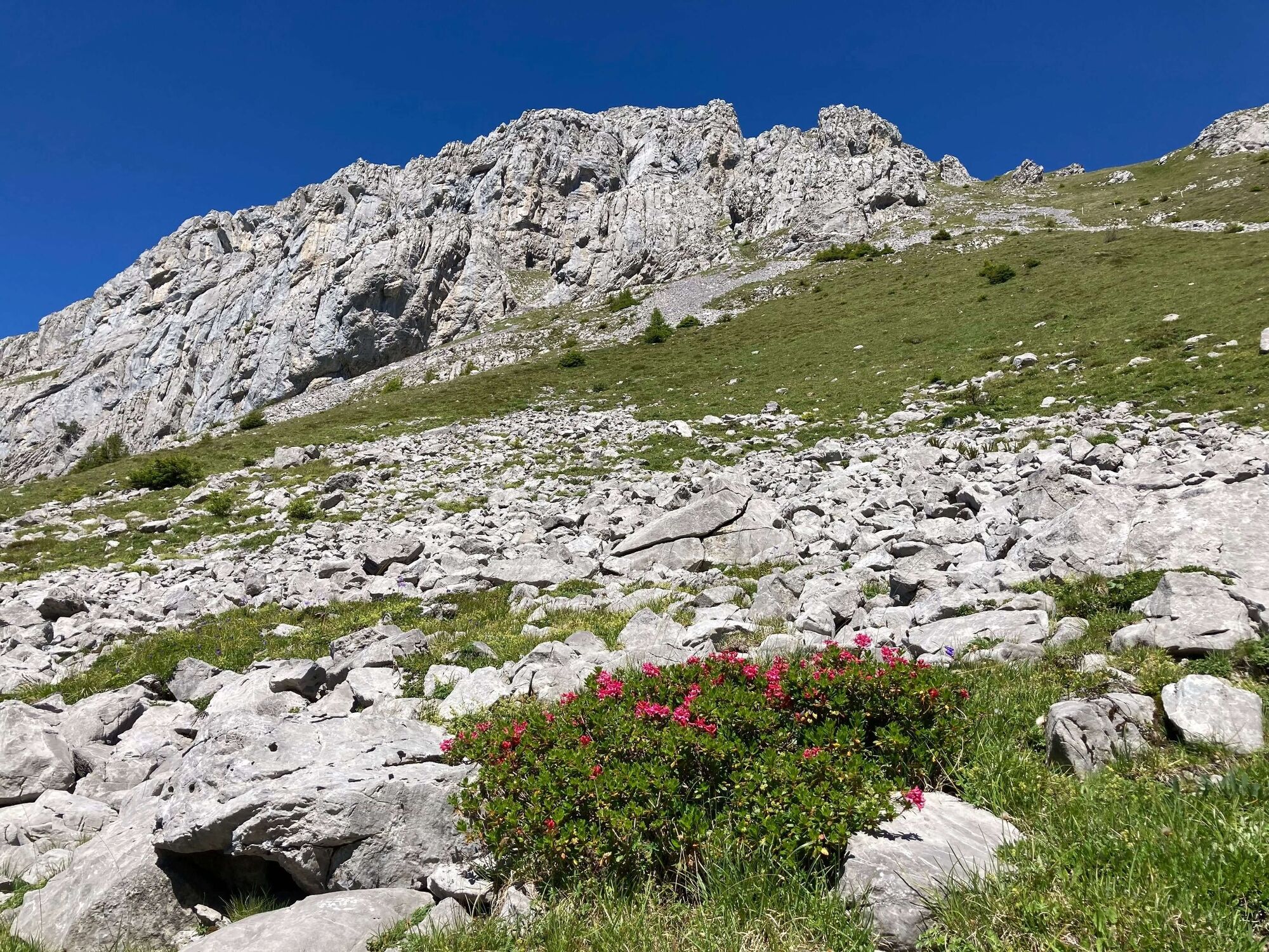
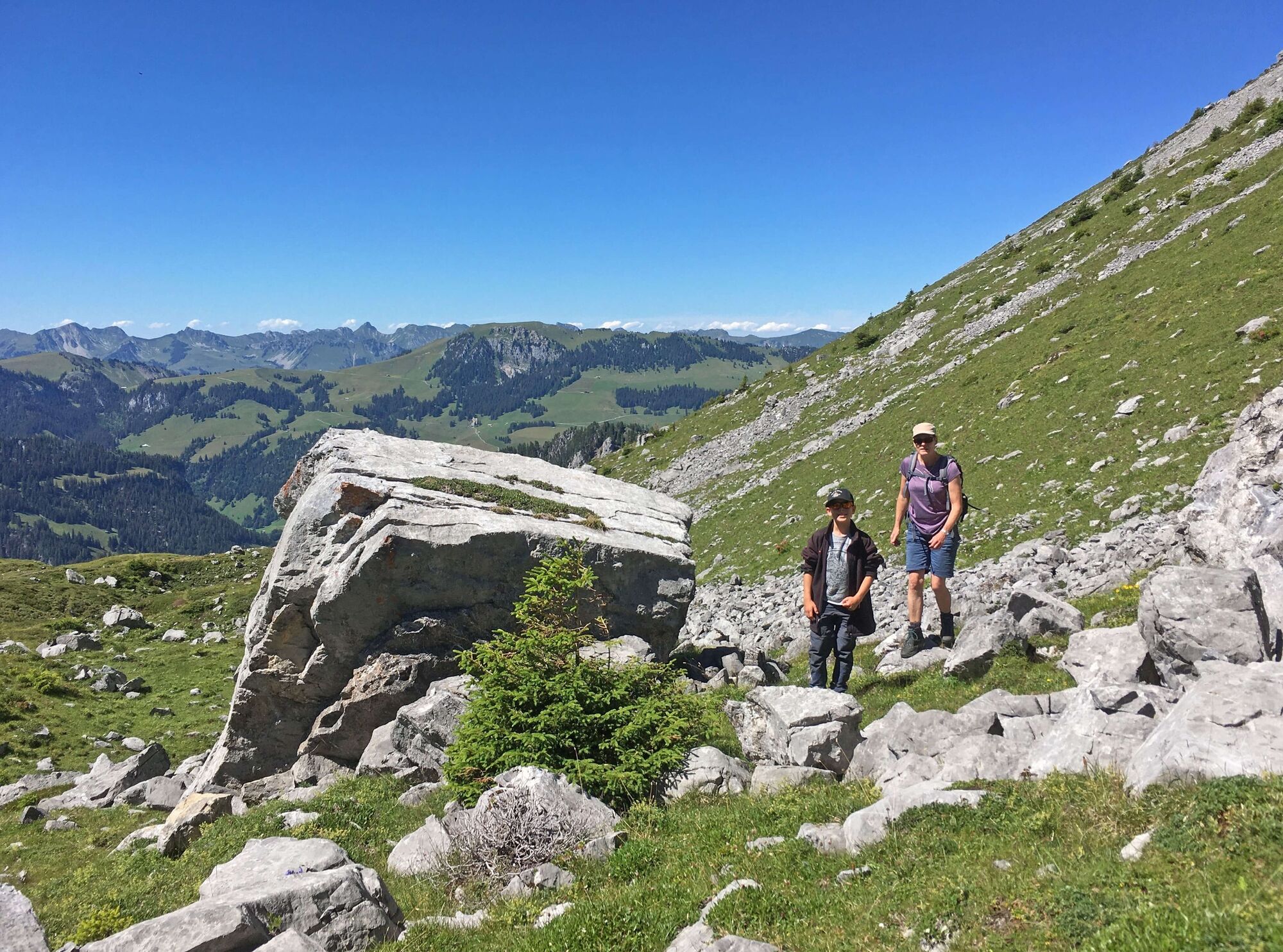
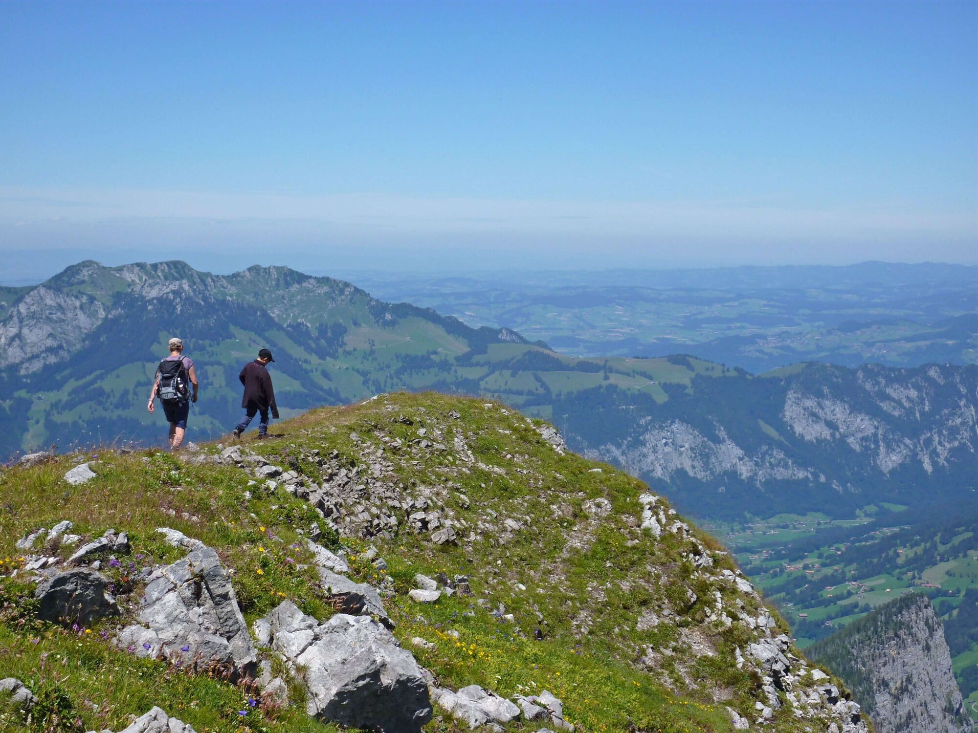
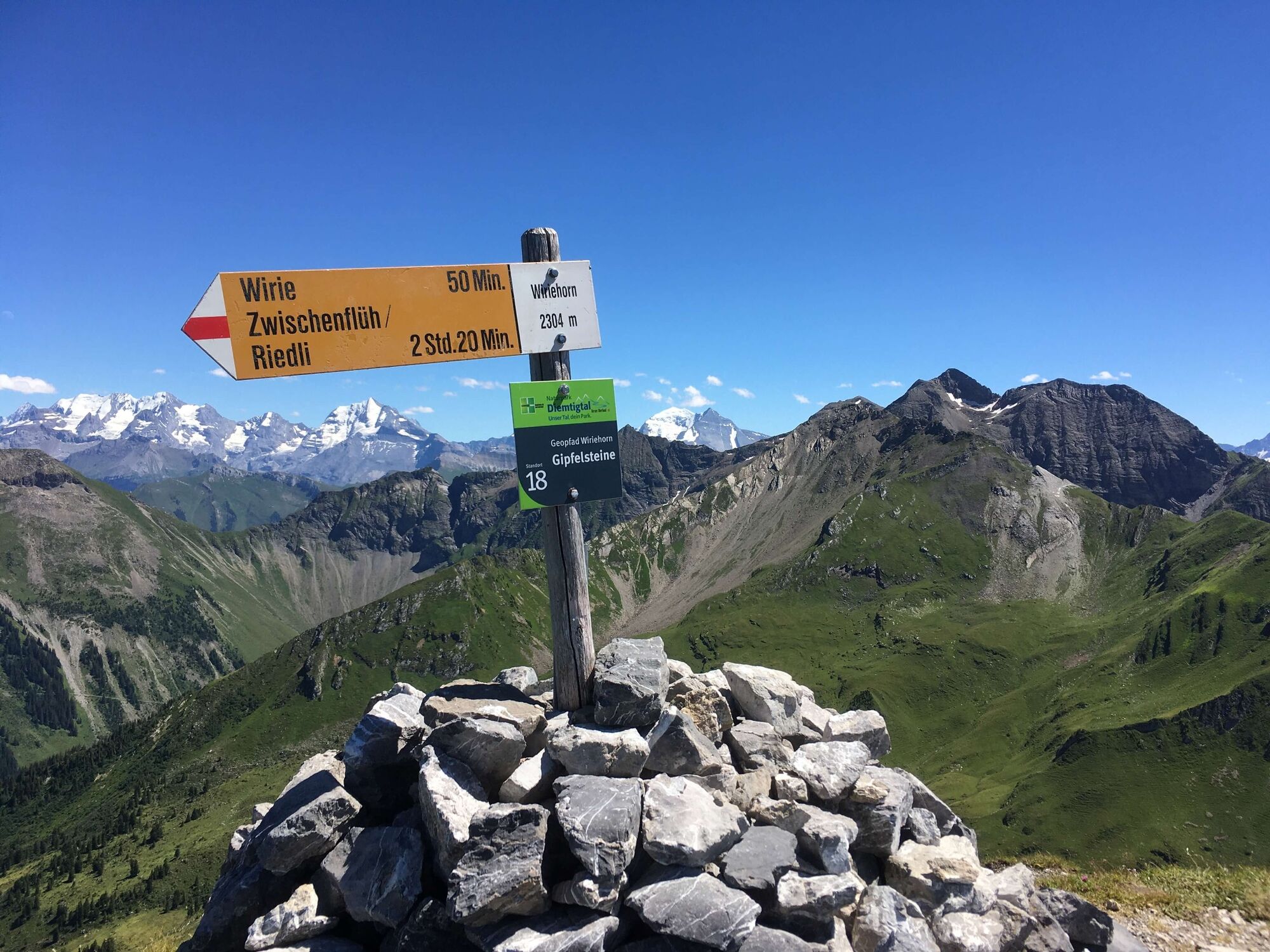
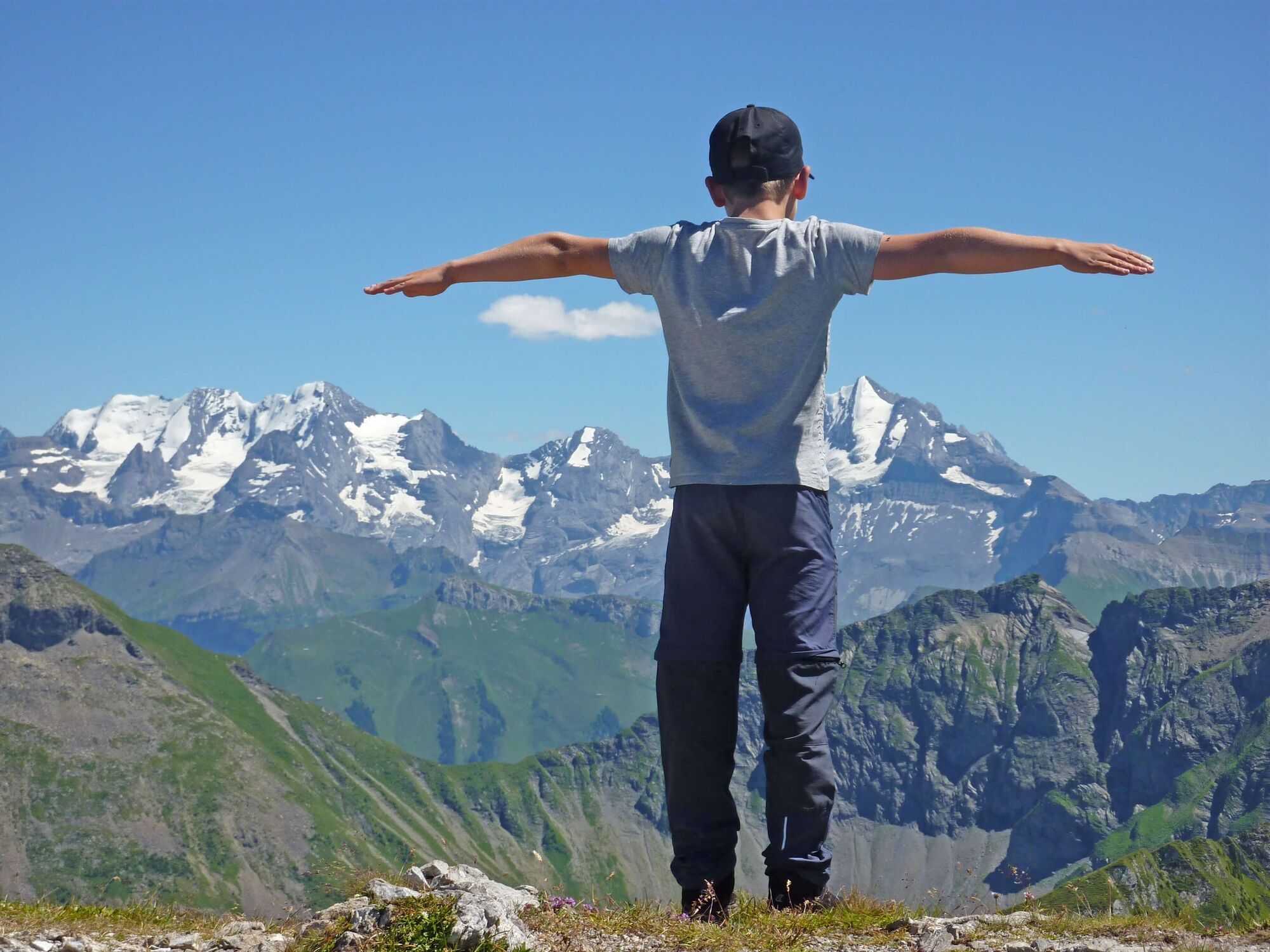
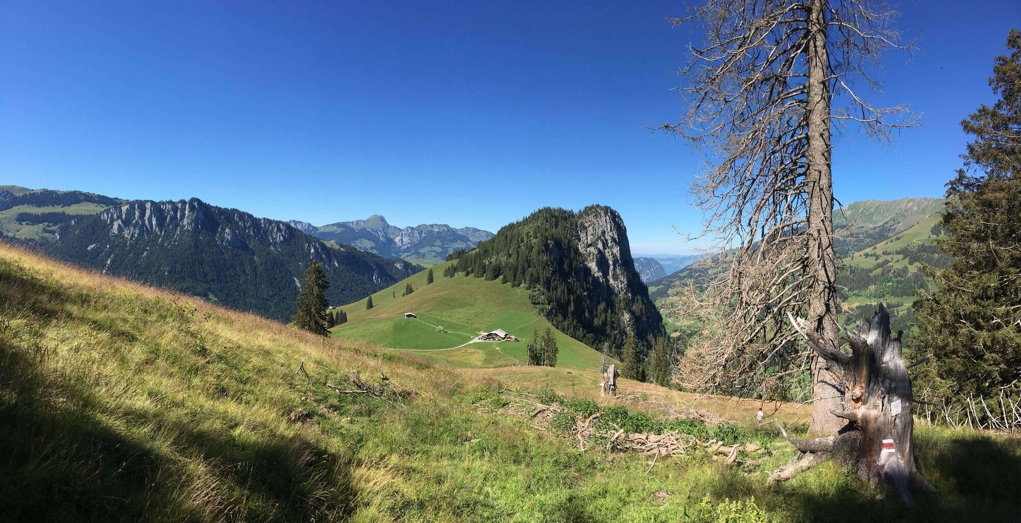
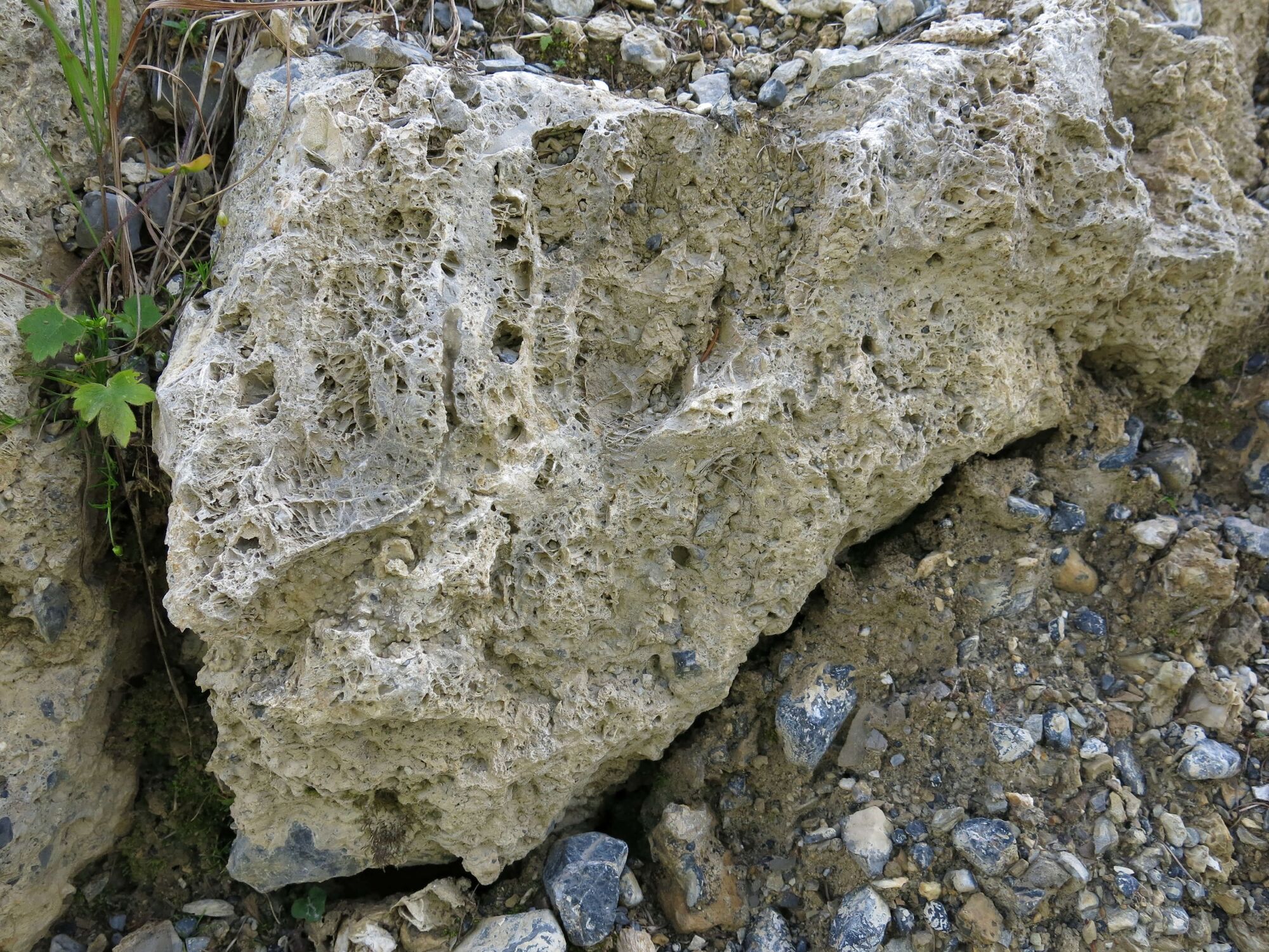
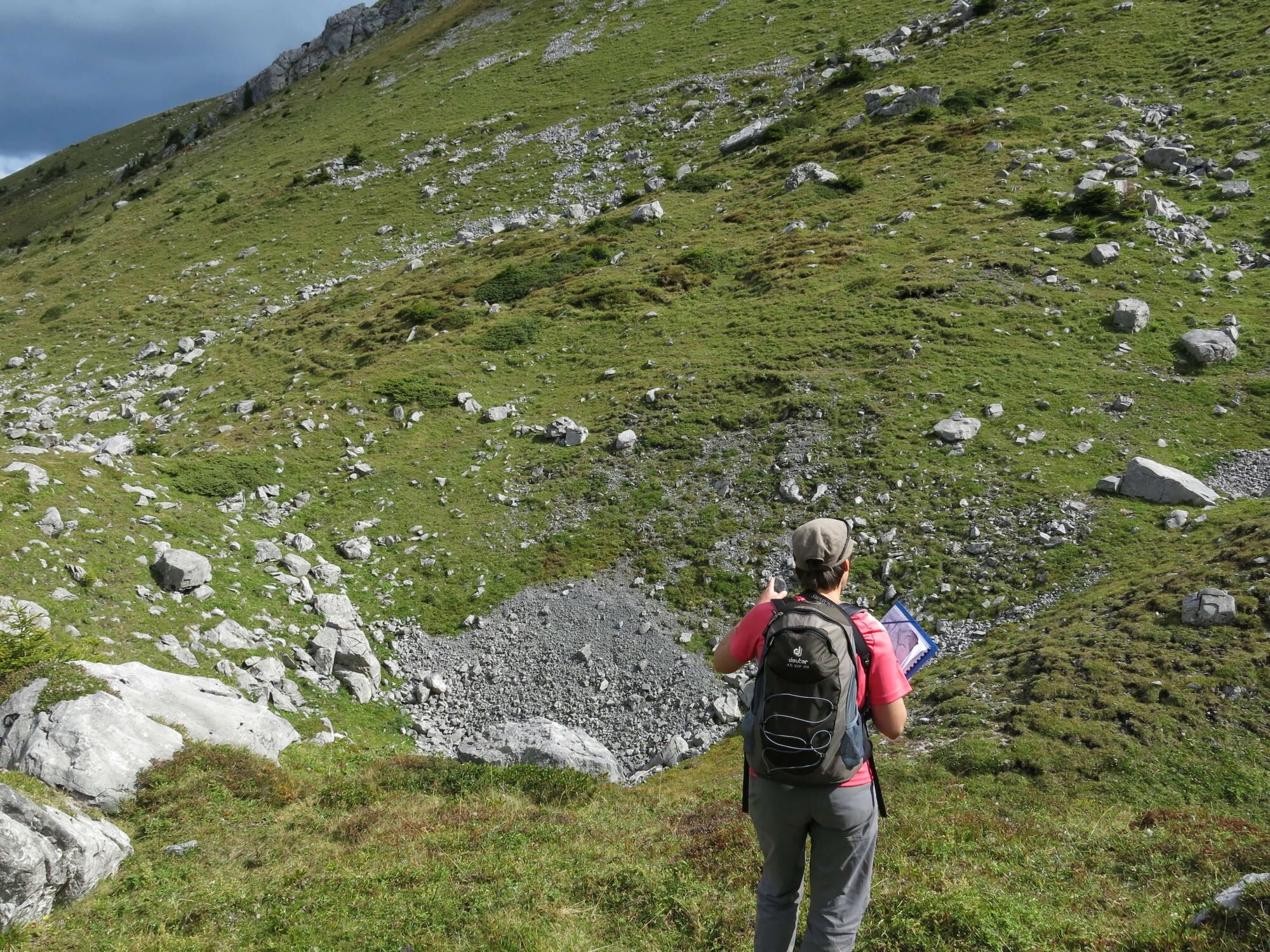
The geological trail leads around the Wiriehorn and shows the history of the formation of this landscape. It conveys interesting facts about mountain and valley, glacier and water, rock and stone.
- Teškoća
-
srednje
- Vrednovanje
-
- Wegverlauf
-
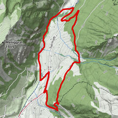
Schwarzeberg8,4 kmBergrestaurant Nüegg9,2 km
- Beste Jahreszeit
-
sijveljožutrasvilipsrpkolrujlisstupro
- Höchster Punkt
- 2.029 m
- Zielpunkt
-
Wiriehorn mountain station (Nüegg), Zwischenflüh
- Höhenprofil
-
 © outdooractive.com


- Autor
-
Die Tour Wiriehorn geological trail wird von outdooractive.com bereitgestellt.
GPS Downloads


Opće informacije
Einkehrmöglichkeit
Geheimtipp
Flora
Aussichtsreich
Weitere Touren in den Regionen
-
Oberwallis
1872
-
Naturpark Diemtigtal
933
-
Erlenbach / Simmental
228