- Kratak opis
-
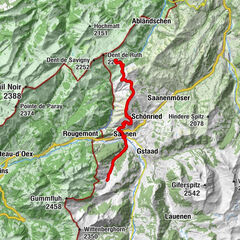
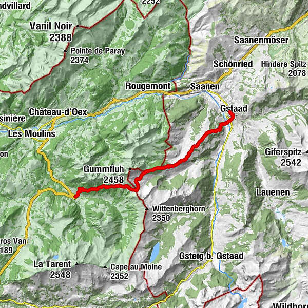
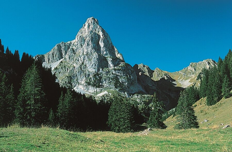
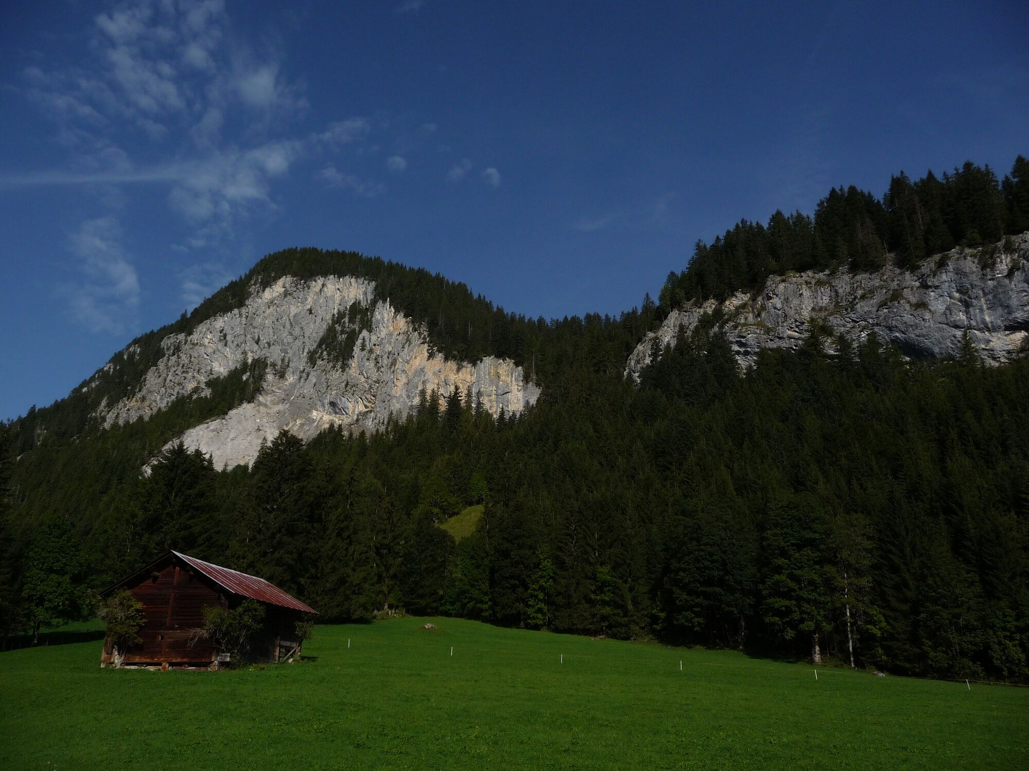
This route takes you on a scenically diverse, but strenuous transition from the tourist region of Gstaad to L'Etivaz. The magnificent Alpine views on the Eggli and Gummfluh and at Jable and, in particular, the inspiringly beautiful trail over the Gros Jable-Petit Jable to Plan au Lare compensate for the very steep ascents and descents at the beginning and at the end of the route. You will also find short distances on asphalt outside the villages.
- Teškoća
-
teška
- Vrednovanje
-
- Wegverlauf
-
Gstaad (1.049 m)0,1 kmGstaad (1.050 m)0,3 kmEggli (1.559 m)3,1 kmSnoasis3,1 kmCol de Jable (1.884 m)11,0 kmL'Étivaz16,6 km
- Beste Jahreszeit
-
sijveljožutrasvilipsrpkolrujlisstupro
- Höchster Punkt
- 1.949 m
- Zielpunkt
-
L'Etivaz
- Höhenprofil
-
 © outdooractive.com
-

-
AutorDie Tour Via Alpina #17: Gstaad - L'Etivaz wird von outdooractive.com bereitgestellt.
GPS Downloads


Opće informacije
Einkehrmöglichkeit
Weitere Touren in den Regionen
-
Alpes Vaudoises
993
-
Pays-d’Enhaut Région
512
-
Rougemont
147