© Destination Gstaad - Destination Gstaad / Melanie Uhkoetter

© Destination Gstaad - Destination Gstaad / Melanie Uhkoetter

- Kratak opis
-
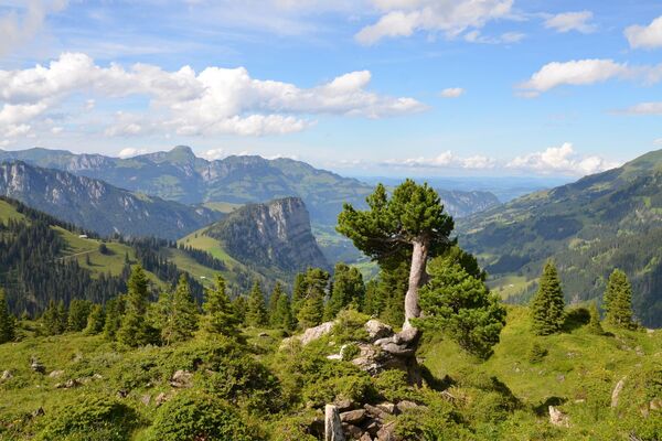
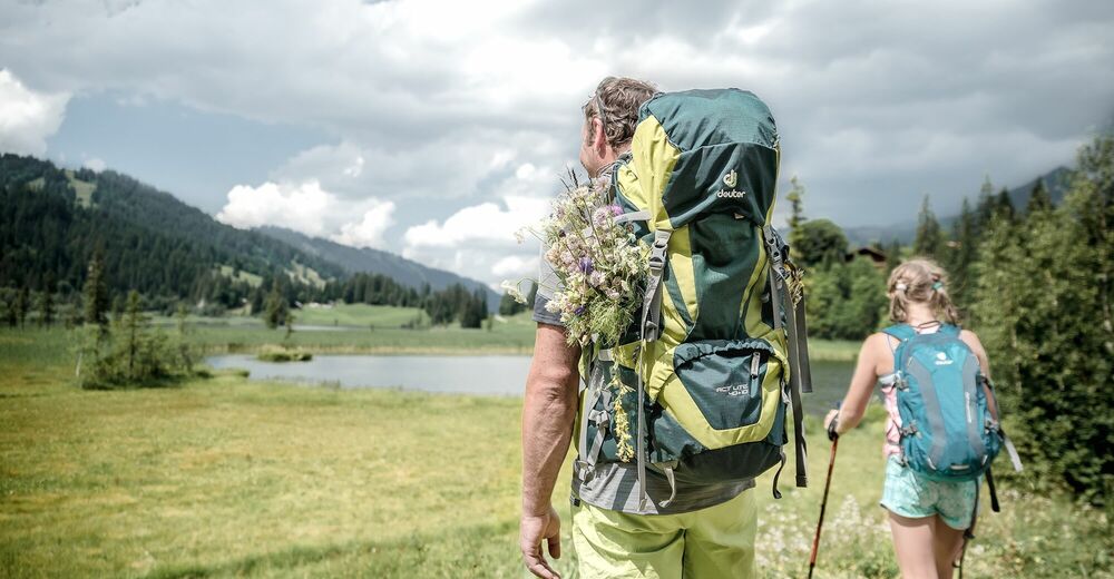
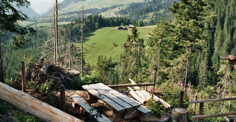
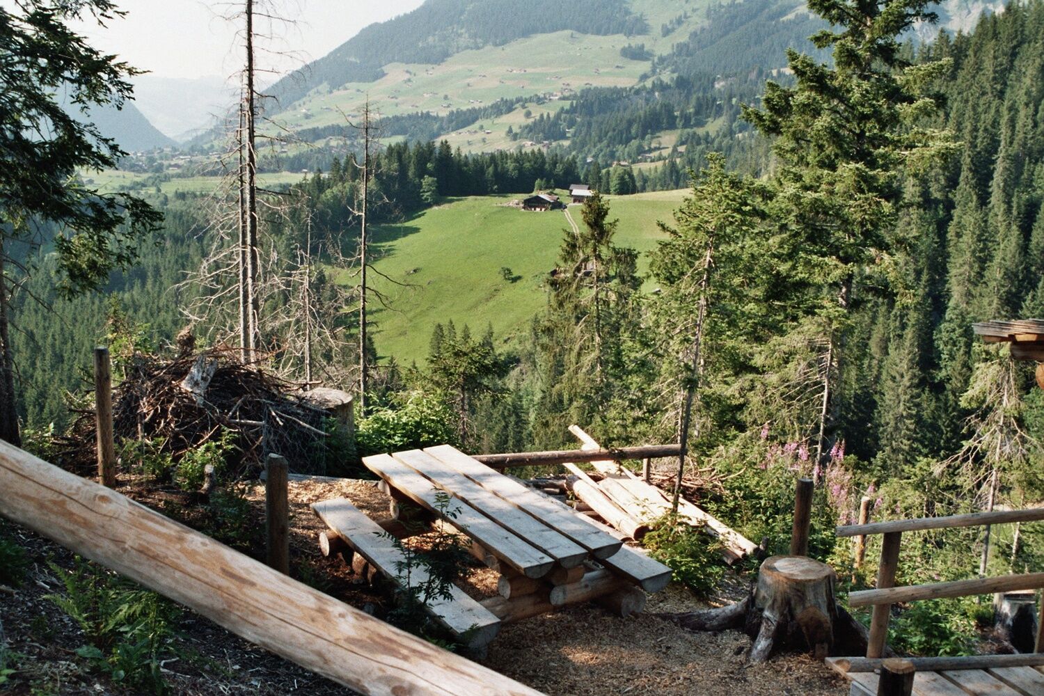
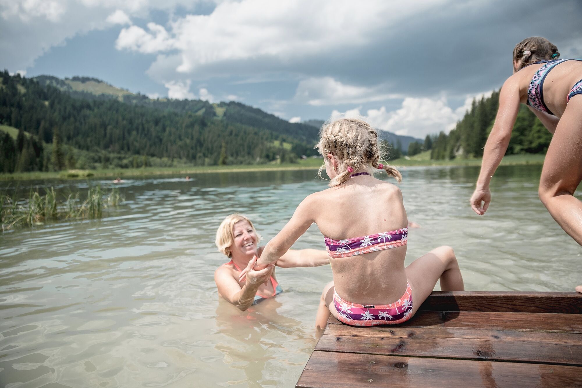
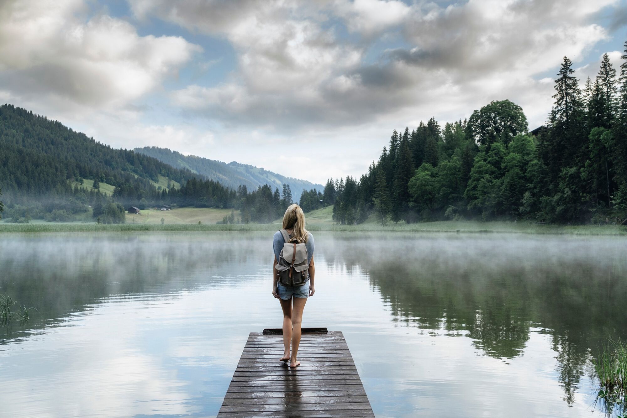
From the lovely village Lauenen you walk up to the Lauenensee, a lake widely celebrated in a famous Swiss song. The silence and seclusion on this hike is sure to please.
- Teškoća
-
srednje
- Vrednovanje
-
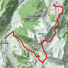
- Wegverlauf
-
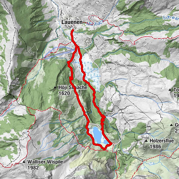
LauenenHöji2,2 kmBühlhaus Lauenensee4,6 kmLauenen8,9 km
- Beste Jahreszeit
-
sijveljožutrasvilipsrpkolrujlisstupro
- Höchster Punkt
- 1.406 m
- Zielpunkt
-
Lauenen
- Höhenprofil
-
 © outdooractive.com

-

-
AutorDie Tour Lauenen – Lauenensee – Lauenen wird von outdooractive.com bereitgestellt.
GPS Downloads


Opće informacije
Einkehrmöglichkeit
Geheimtipp
Weitere Touren in den Regionen
-
Thyon les Collons
1444
-
Destination Gstaad
741
-
Lauenen
220