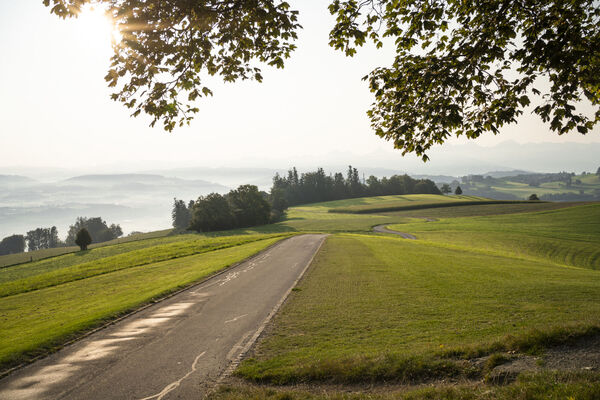
Through the riverside landscape alongside the old river Aare


© Community - Matthias Forster


- Kratak opis
-
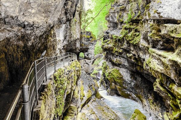
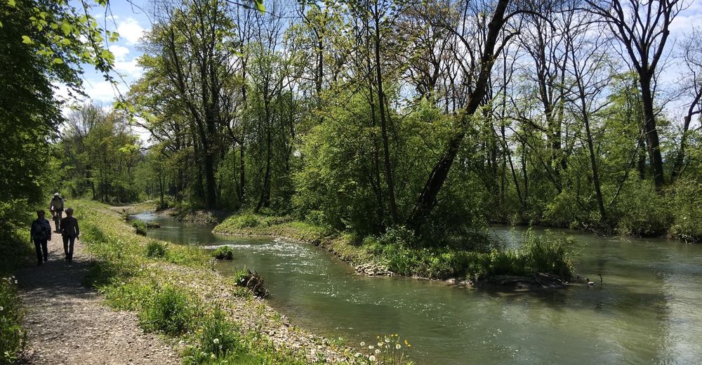
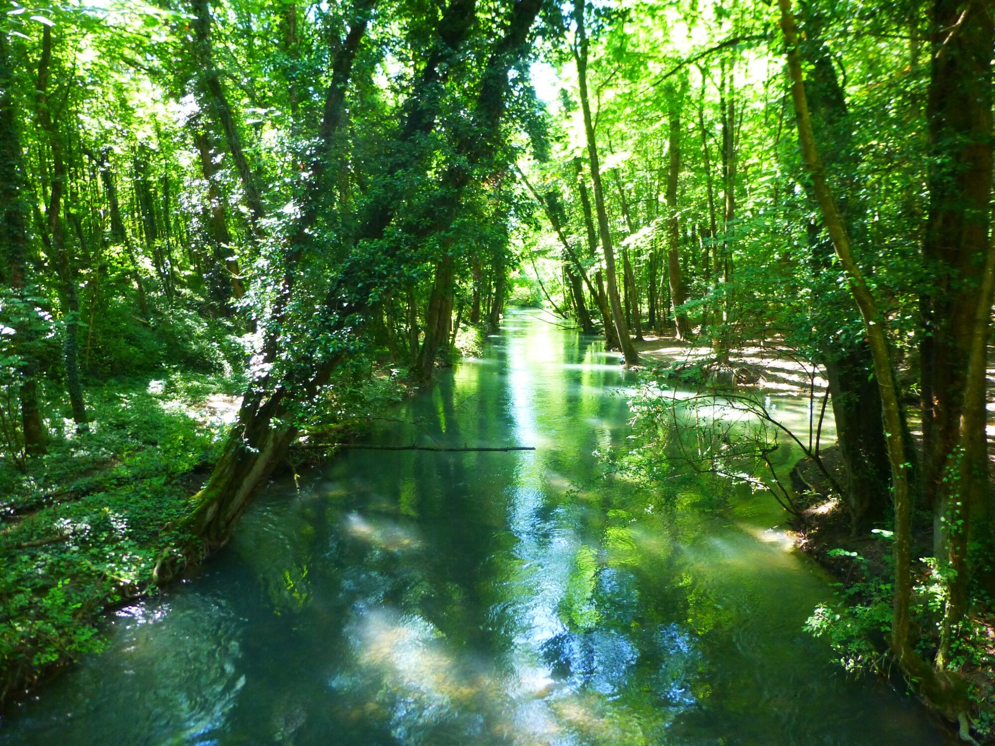
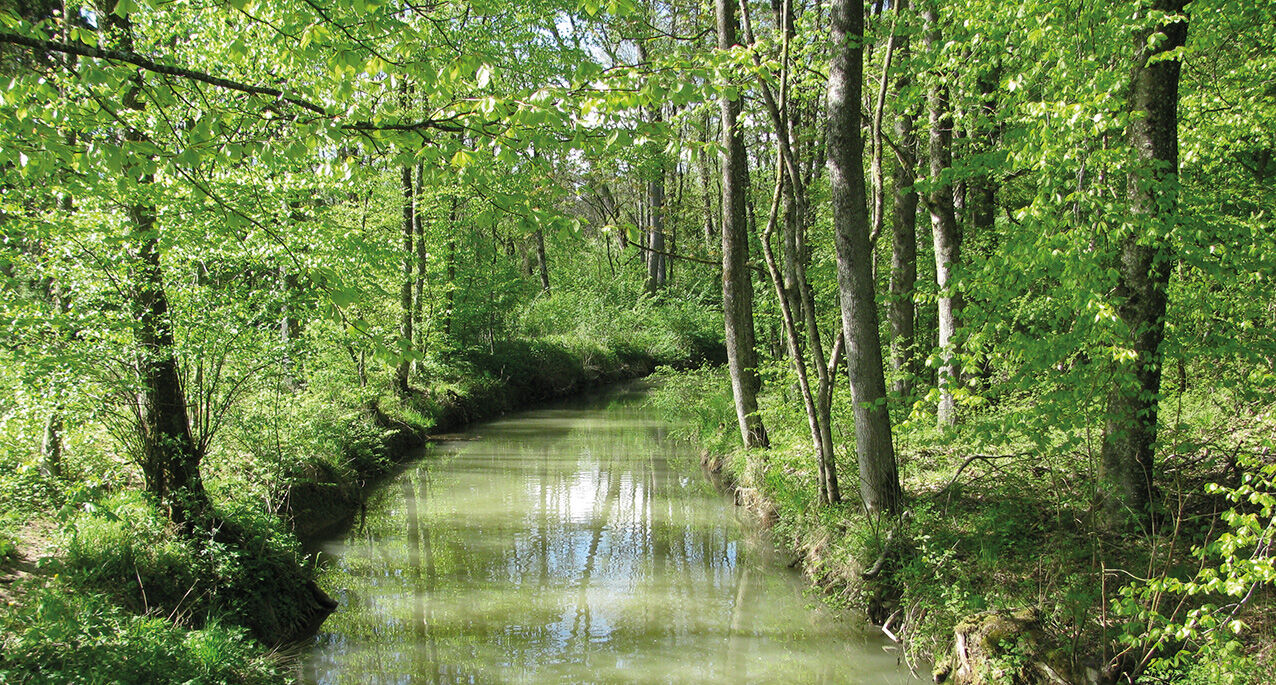
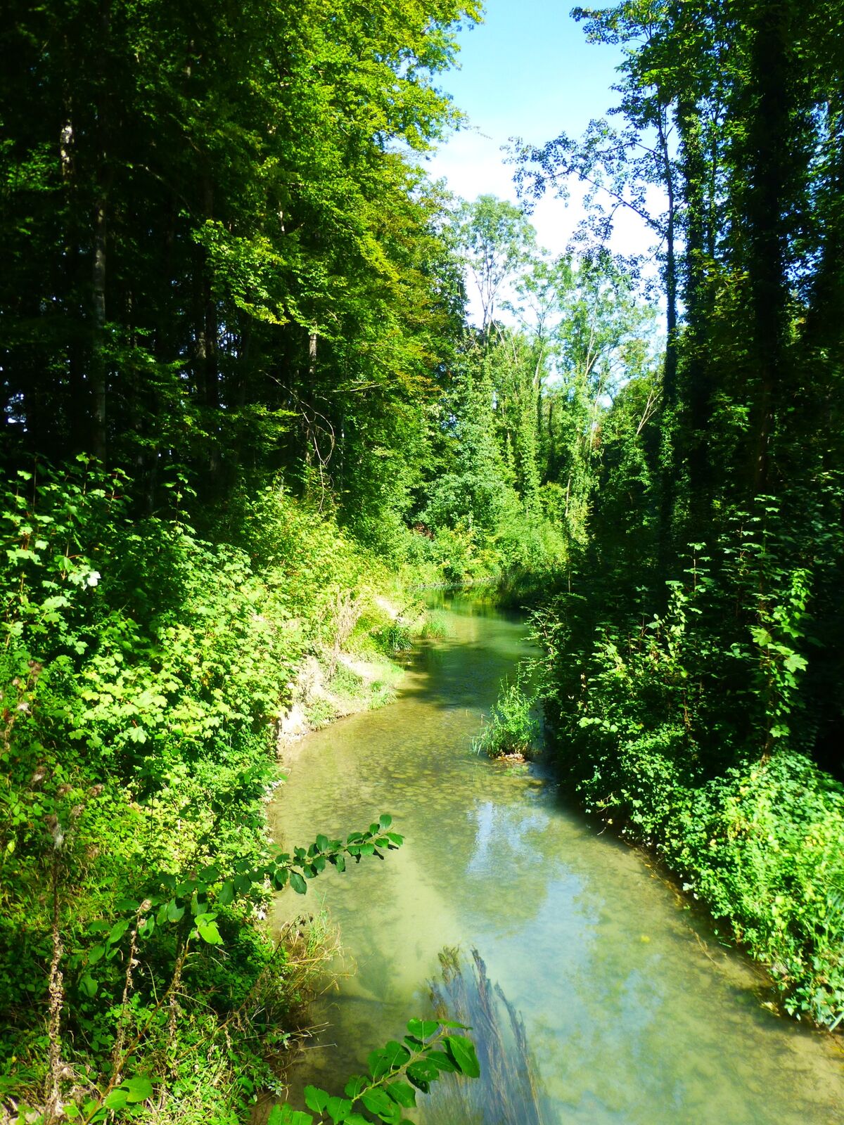
A quiet watercourse surrounded by idyllic riverside forests now passes through the area where the mighty and unpredictable river Aare once flowed. A varied walking path leads through this unique nature reserve. The rural town of Aarberg with its historic buildings is a special attraction right at the start of this route. Some hard-surfaced areas exist at the start and end of the walk, but otherwise the route goes along natural paths.
- Teškoća
-
lagano
- Vrednovanje
-
- Wegverlauf
-
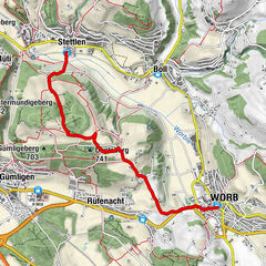
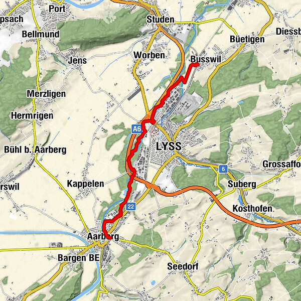
Aarberg (449 m)Aarberg (455 m)0,1 kmLyss (444 m)4,9 kmBusswil (437 m)8,3 kmBusswil BE (437 m)8,9 km
- Beste Jahreszeit
-
sijveljožutrasvilipsrpkolrujlisstupro
- Höchster Punkt
- 448 m
- Zielpunkt
-
Busswil
- Höhenprofil
-
 © outdooractive.com


-

-
AutorDie Tour Through the riverside landscape alongside the old river Aare wird von outdooractive.com bereitgestellt.
GPS Downloads


Opće informacije
Fauna
Weitere Touren in den Regionen
-
Biel Seeland
781
-
Bielersee / Twann - Ligerz - Tüscherz
336
-
Lyss
108