

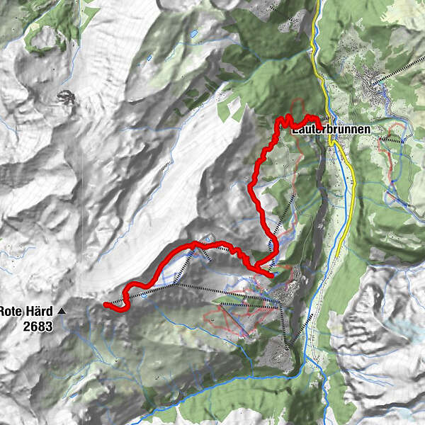
Podaci o ruti
14,77km
855
- 2.970m
2.190hm
79hm
06:00h
- Kratak opis
-
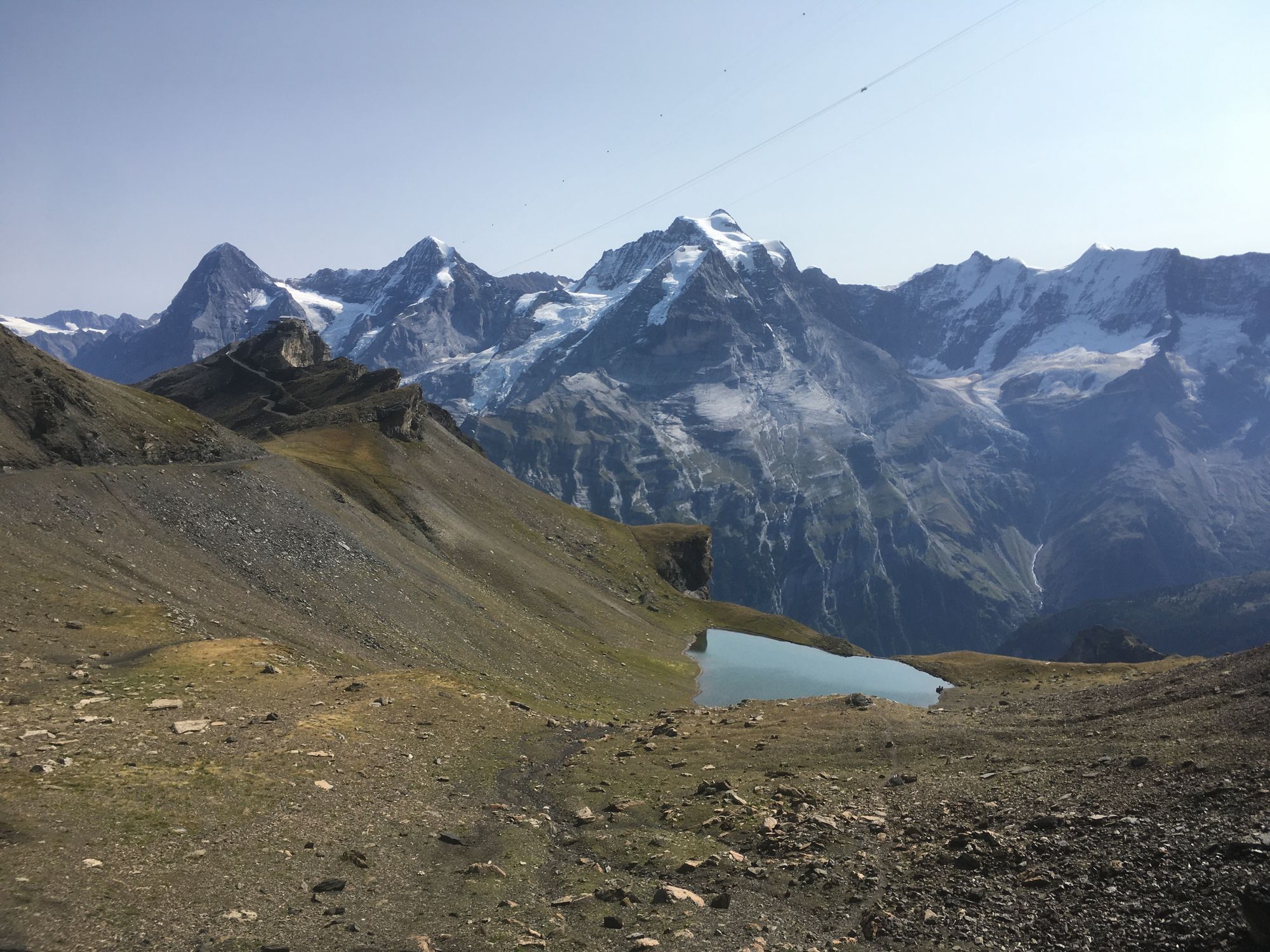
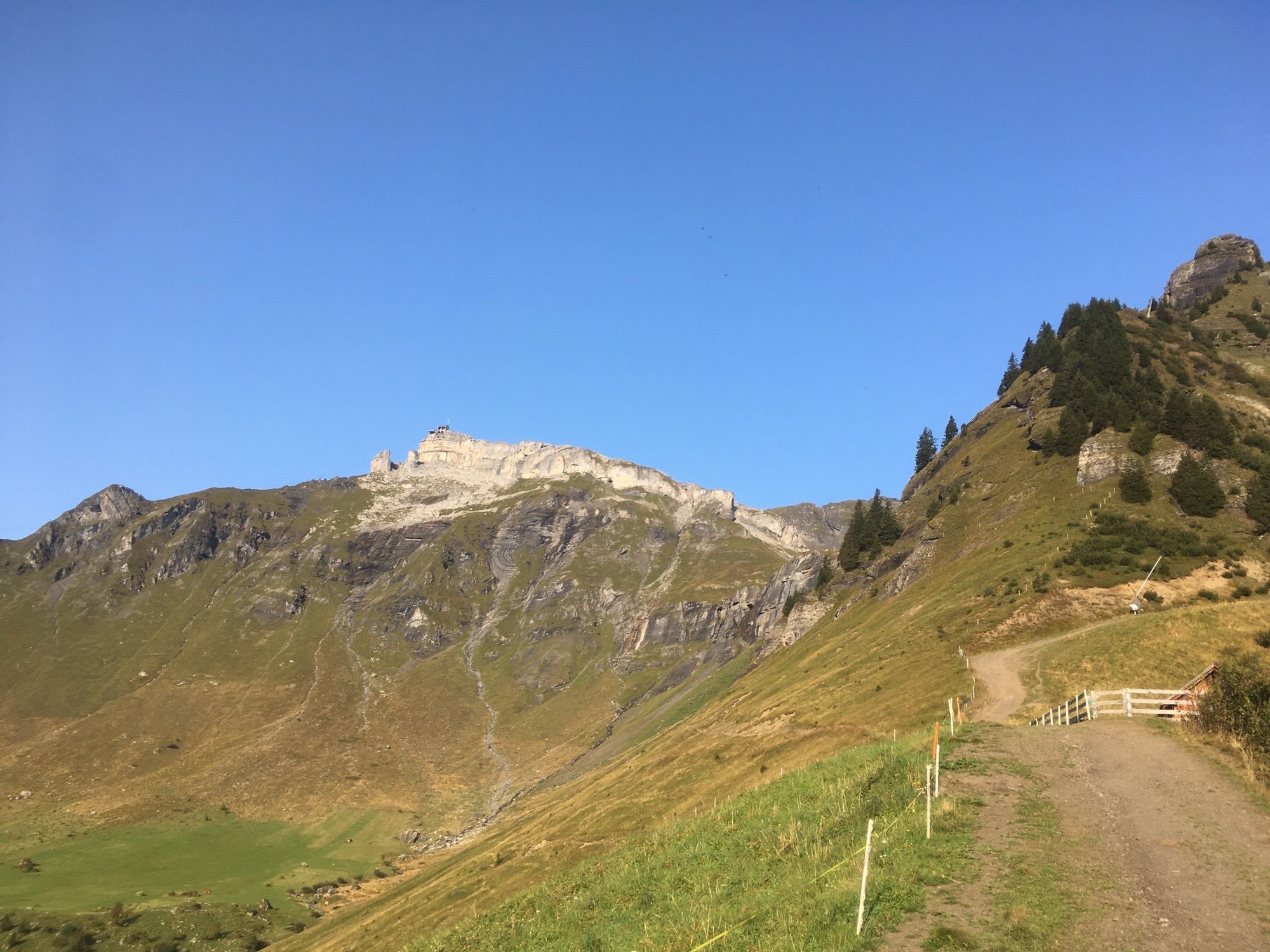
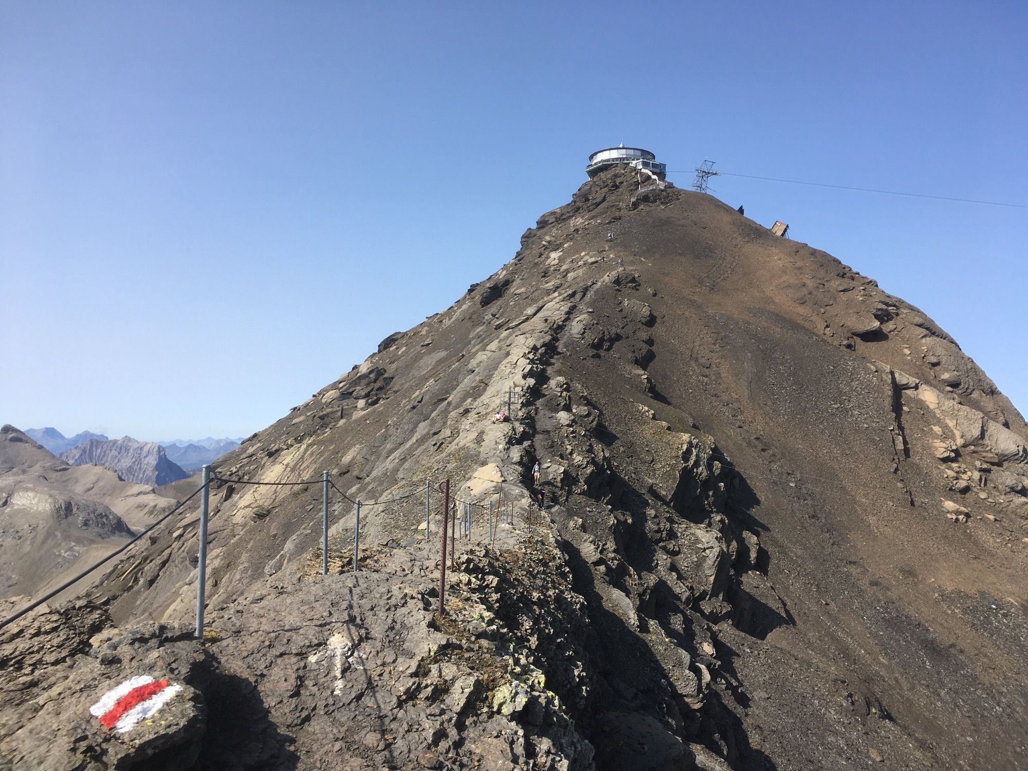
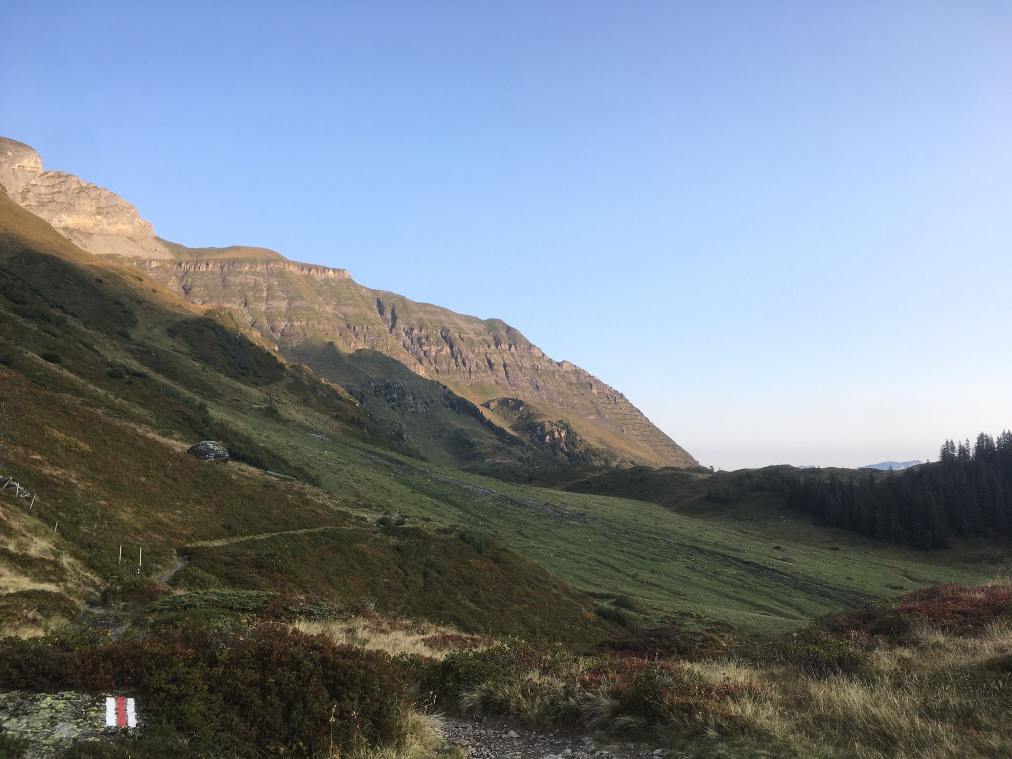
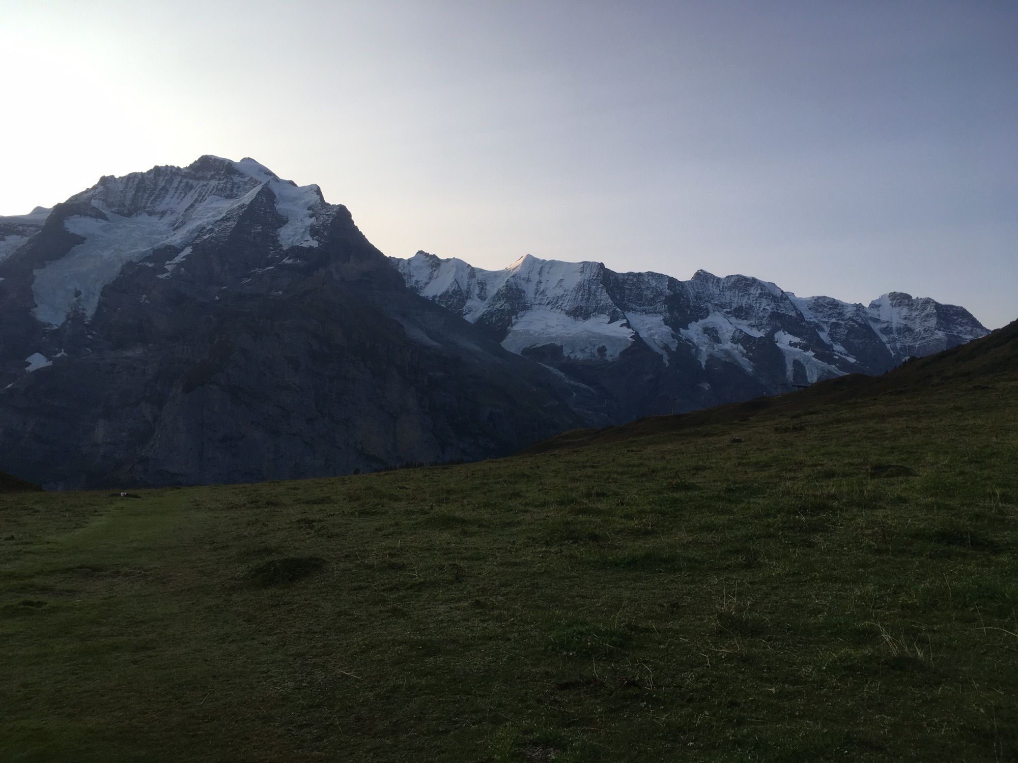
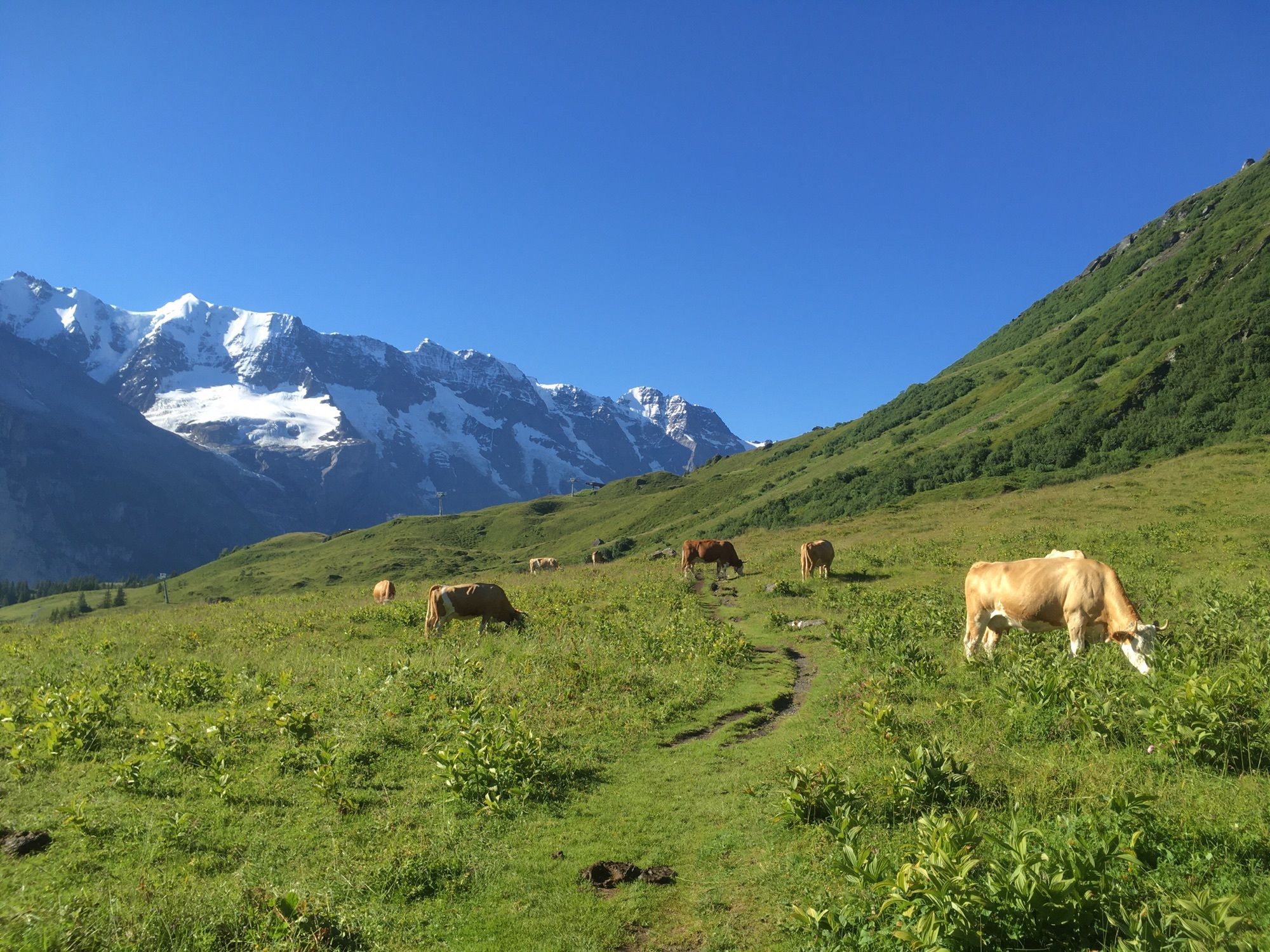
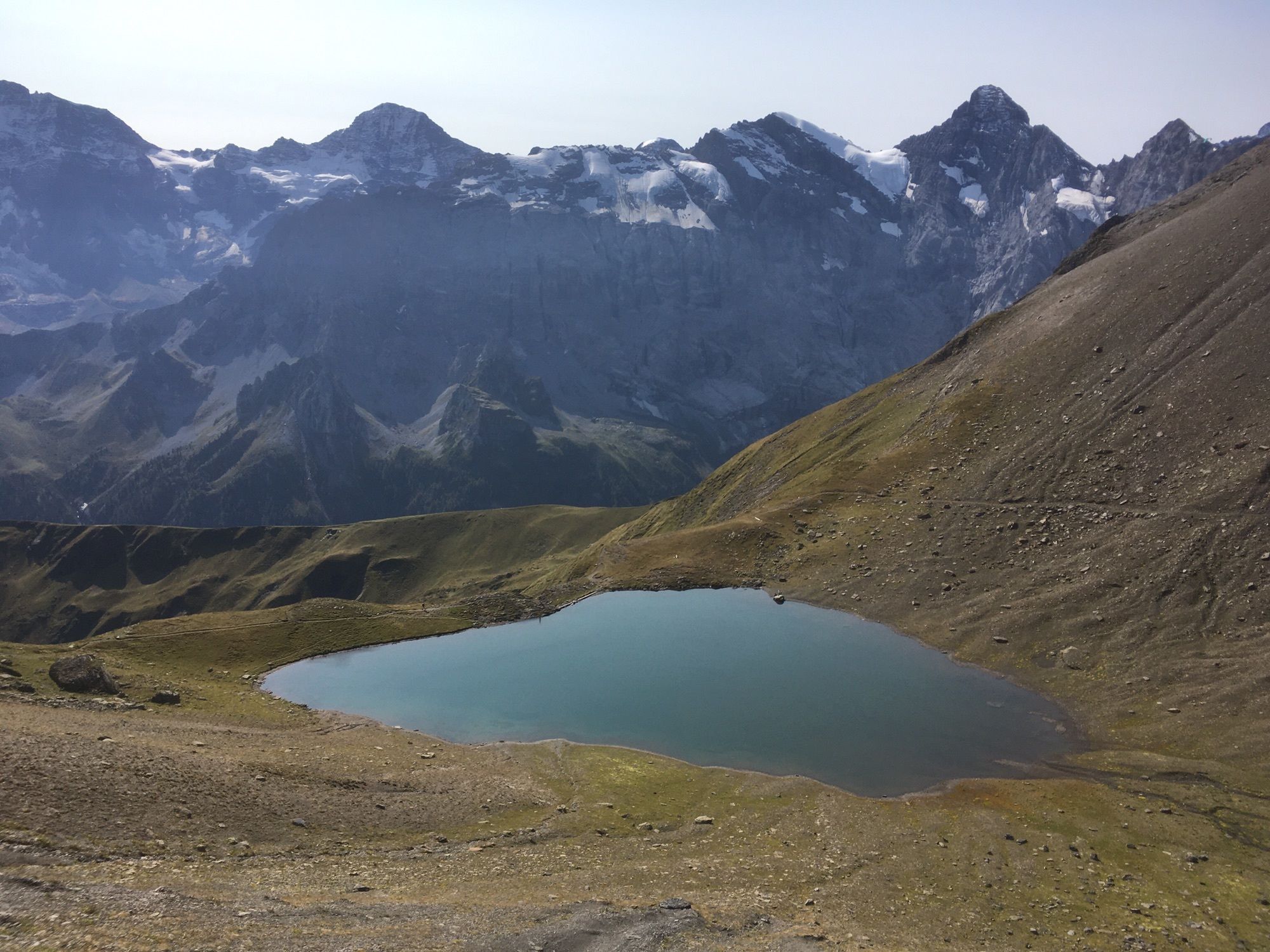
Über Grütschalp, Mountain view Trail, Allmendhubel und Birg
- Teškoća
-
srednje
- Vrednovanje
-
- Wegverlauf
-
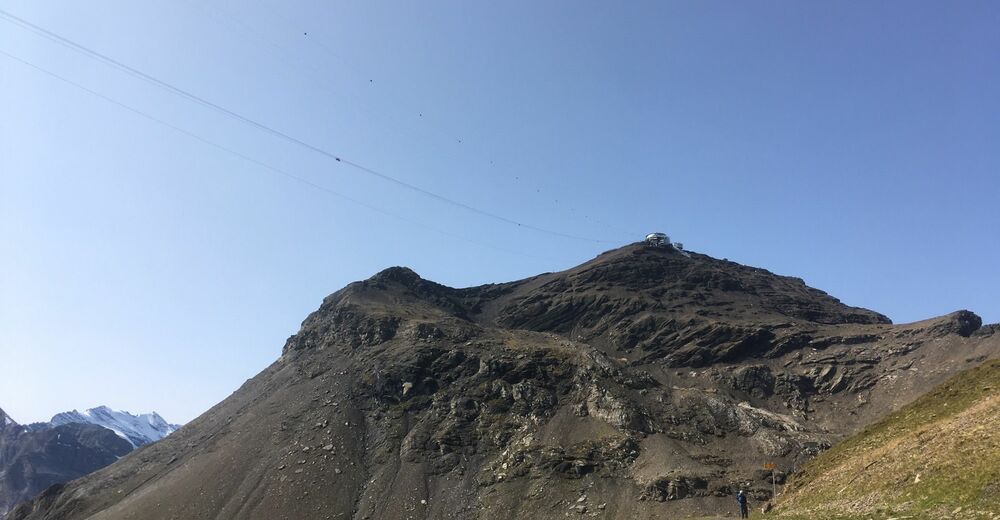
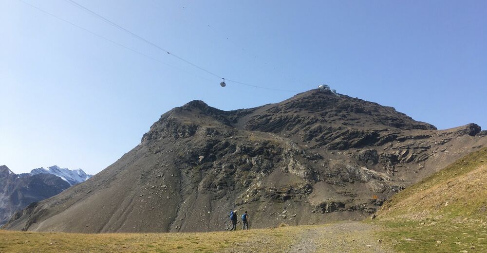
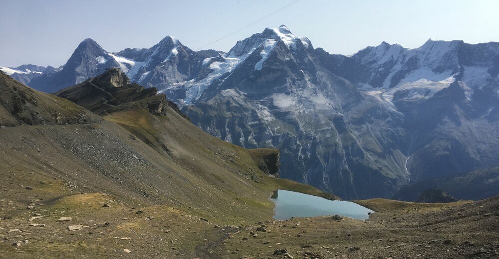
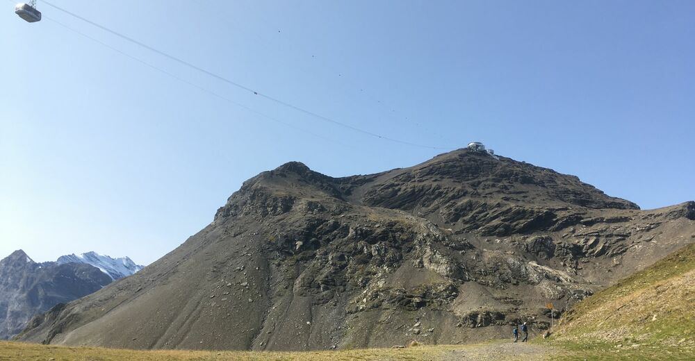
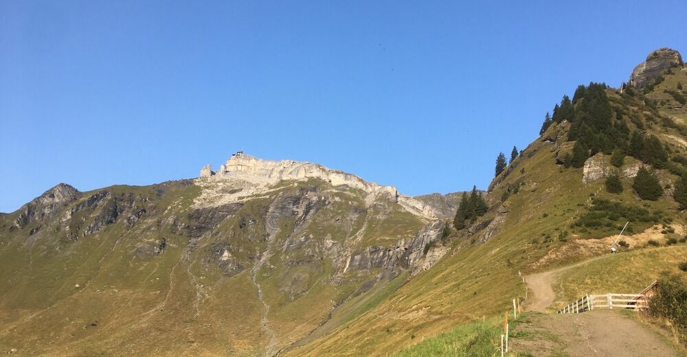
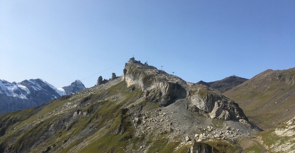
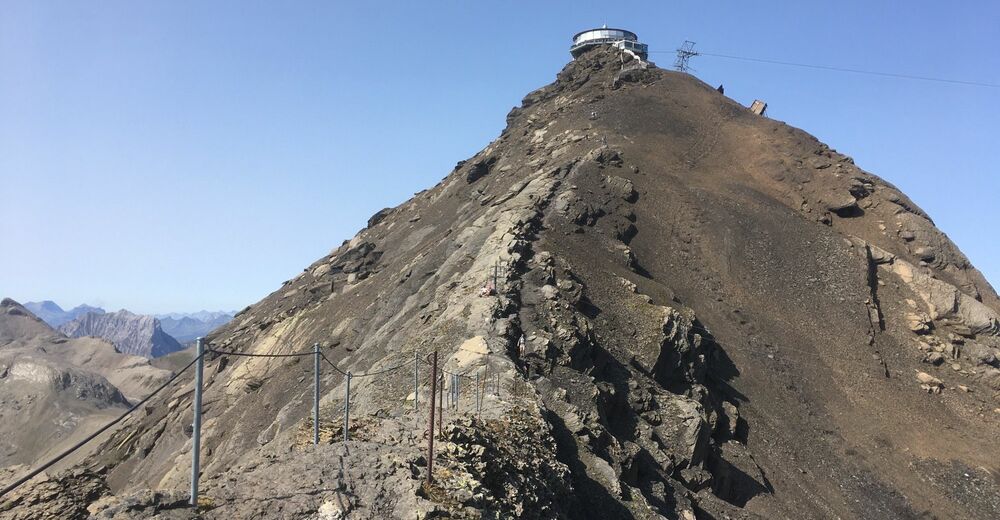
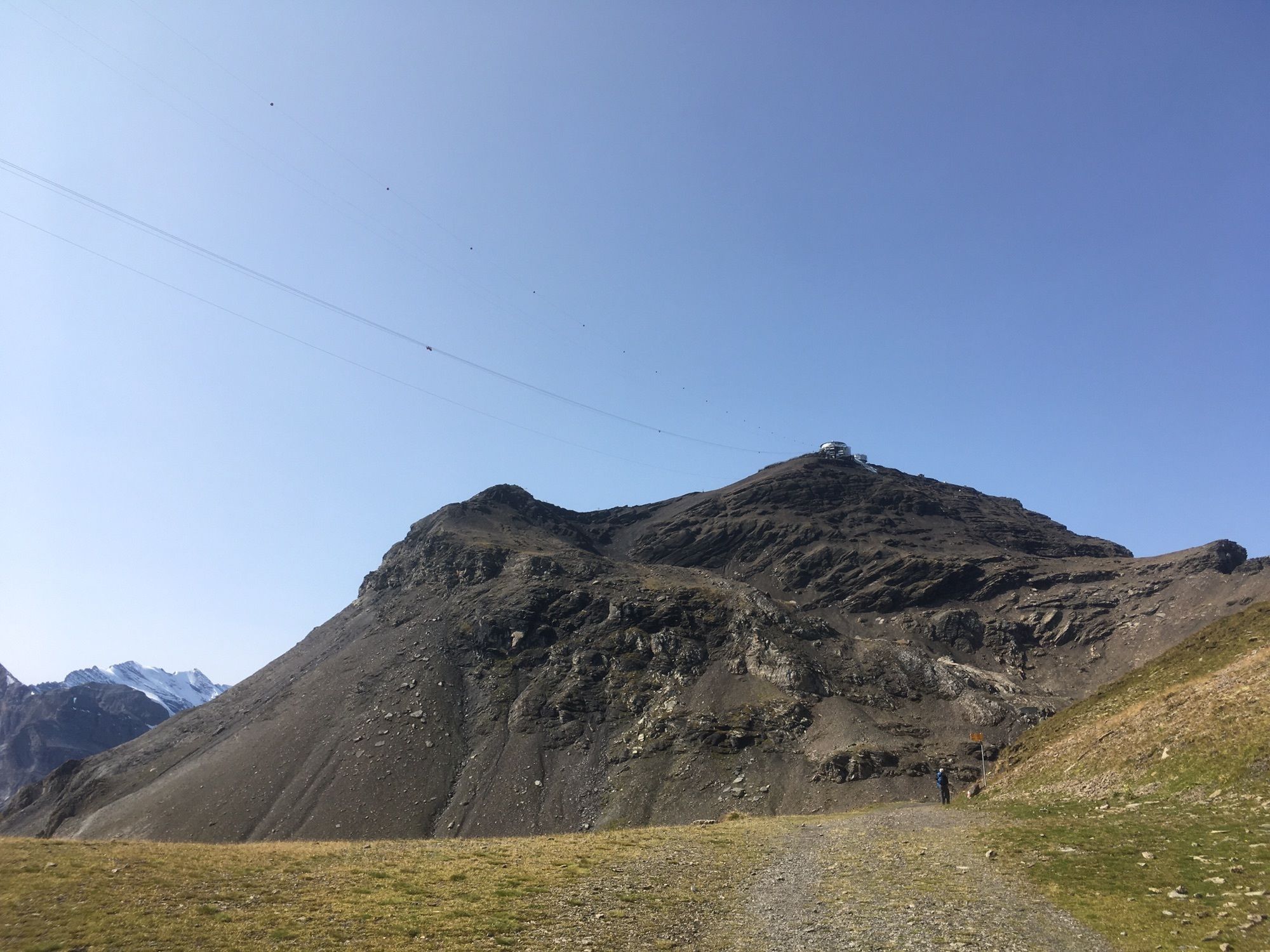
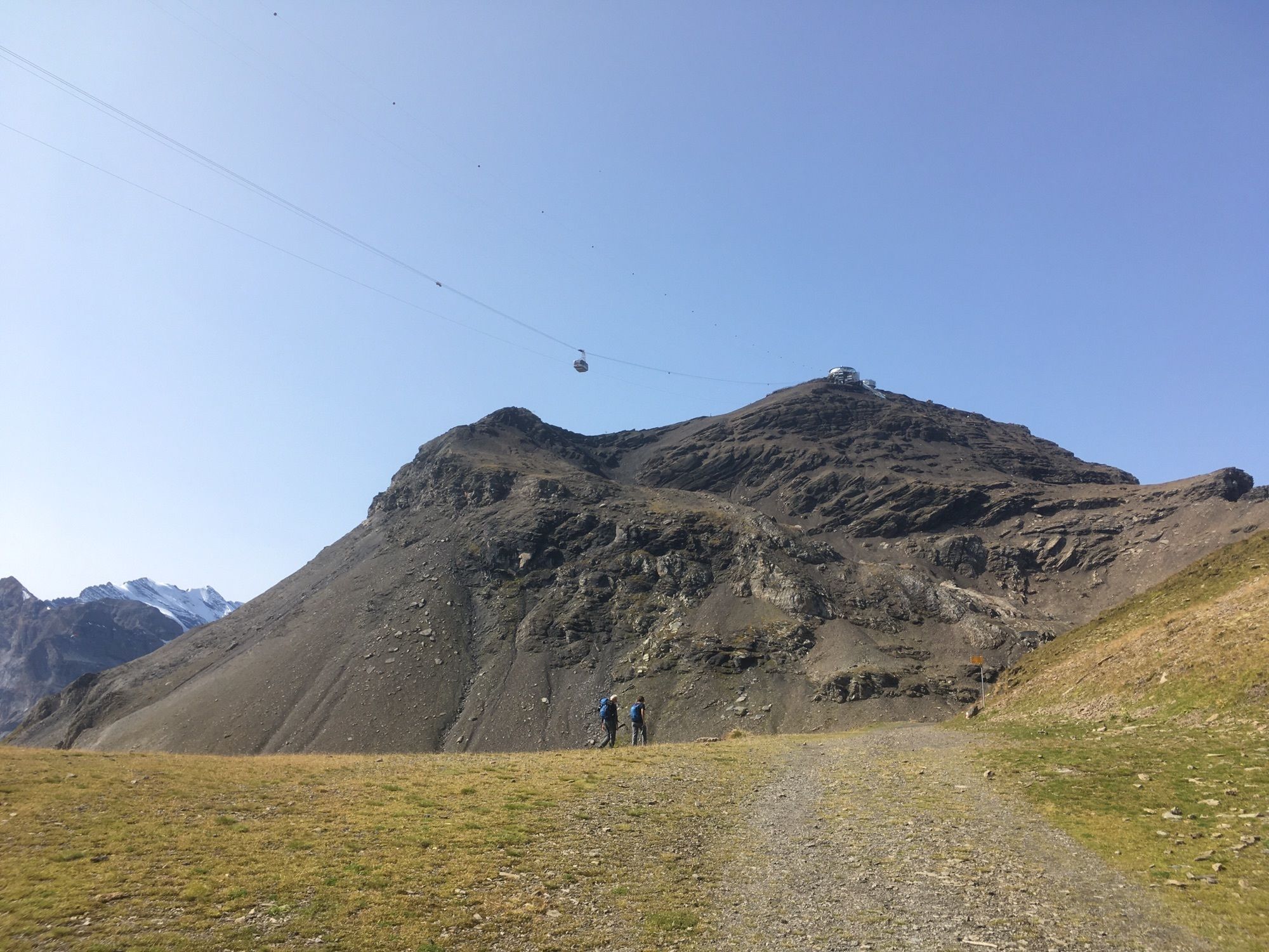
LauterbrunnenGrütsch2,9 kmAllmihubel (1.932 m)8,0 kmAllmihubel8,2 kmSkyline View Platform14,6 kmSchilthorn14,6 kmDrehrestaurant Piz Gloria14,6 kmSchilthorn (2.973 m)14,7 km
- Beste Jahreszeit
-
sijveljožutrasvilipsrpkolrujlisstupro
- Höchster Punkt
- 2.970 m


GPS Downloads


Weitere Touren in den Regionen
-
Aletsch Arena
1483
-
Jungfrau Region
1025
-
Mürren - Schilthorn
357


