


- Kratak opis
-
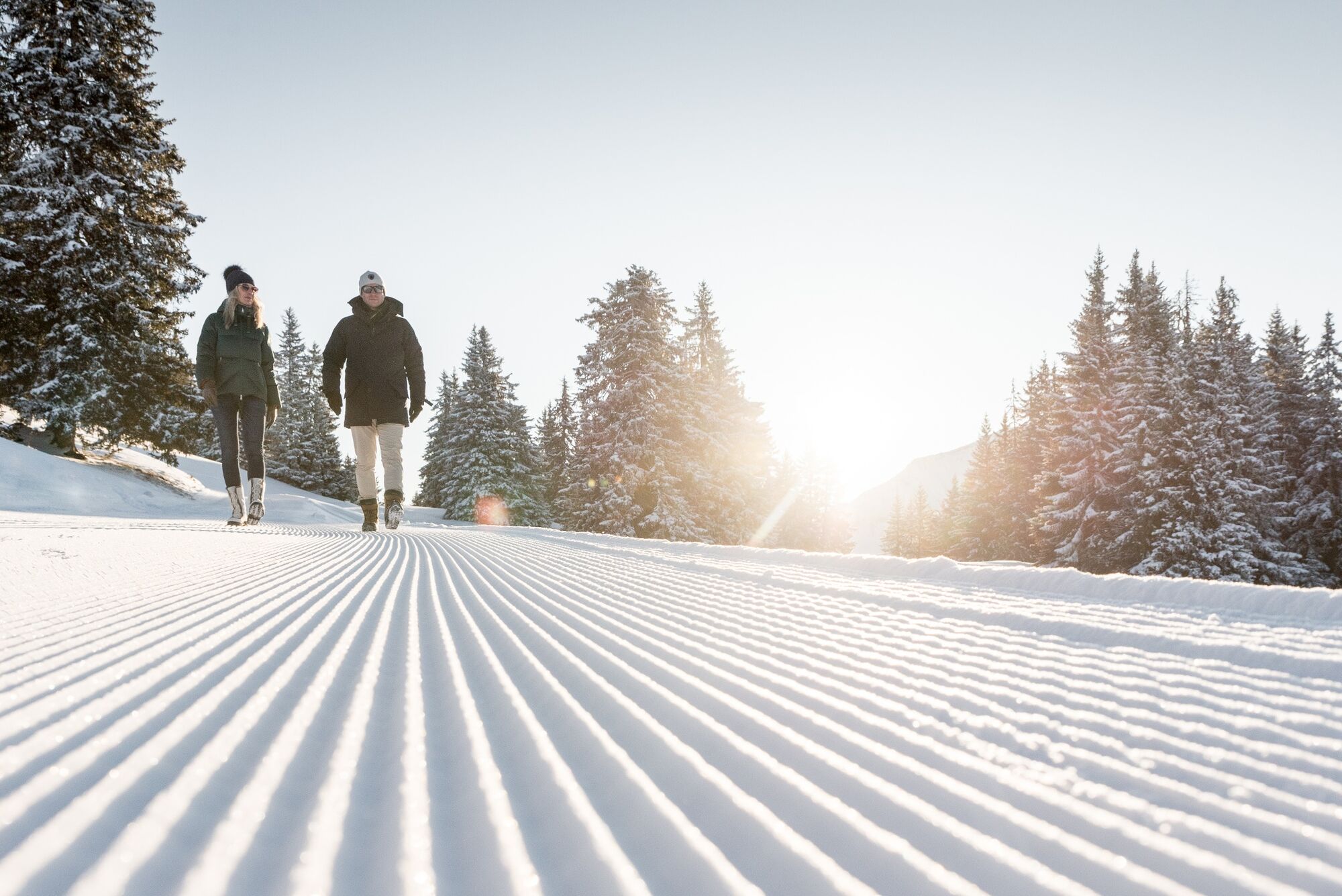
This continual downhill run from Schönried to Gstaad and varied hike for enthusiastic hikers boasts views of towering mountain peaks and the historic heart of the Saanenland.
- Teškoća
-
srednje
- Vrednovanje
-
- Wegverlauf
-
Schönried (1.231 m)Gstaad (1.050 m)4,2 kmMango4,3 kmPizerria Victoria4,3 kmGstaad (1.049 m)4,4 km
- Beste Jahreszeit
-
kolrujlisstuprosijveljožutrasvilipsrp
- Höchster Punkt
- 1.229 m
- Zielpunkt
-
Gstaad, railway station
- Höhenprofil
-
 © outdooractive.com
-

-
AutorDie Tour Schönried - Gruben - Gstaad NR. 772 wird von outdooractive.com bereitgestellt.
GPS Downloads


Opće informacije
Einkehrmöglichkeit
Aussichtsreich
Weitere Touren in den Regionen
-
Thyon les Collons
234
-
Destination Gstaad
140
-
Schönried
66


