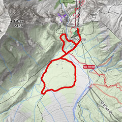
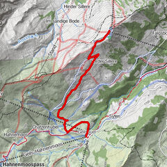
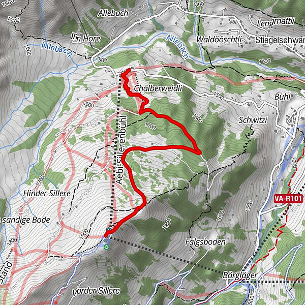
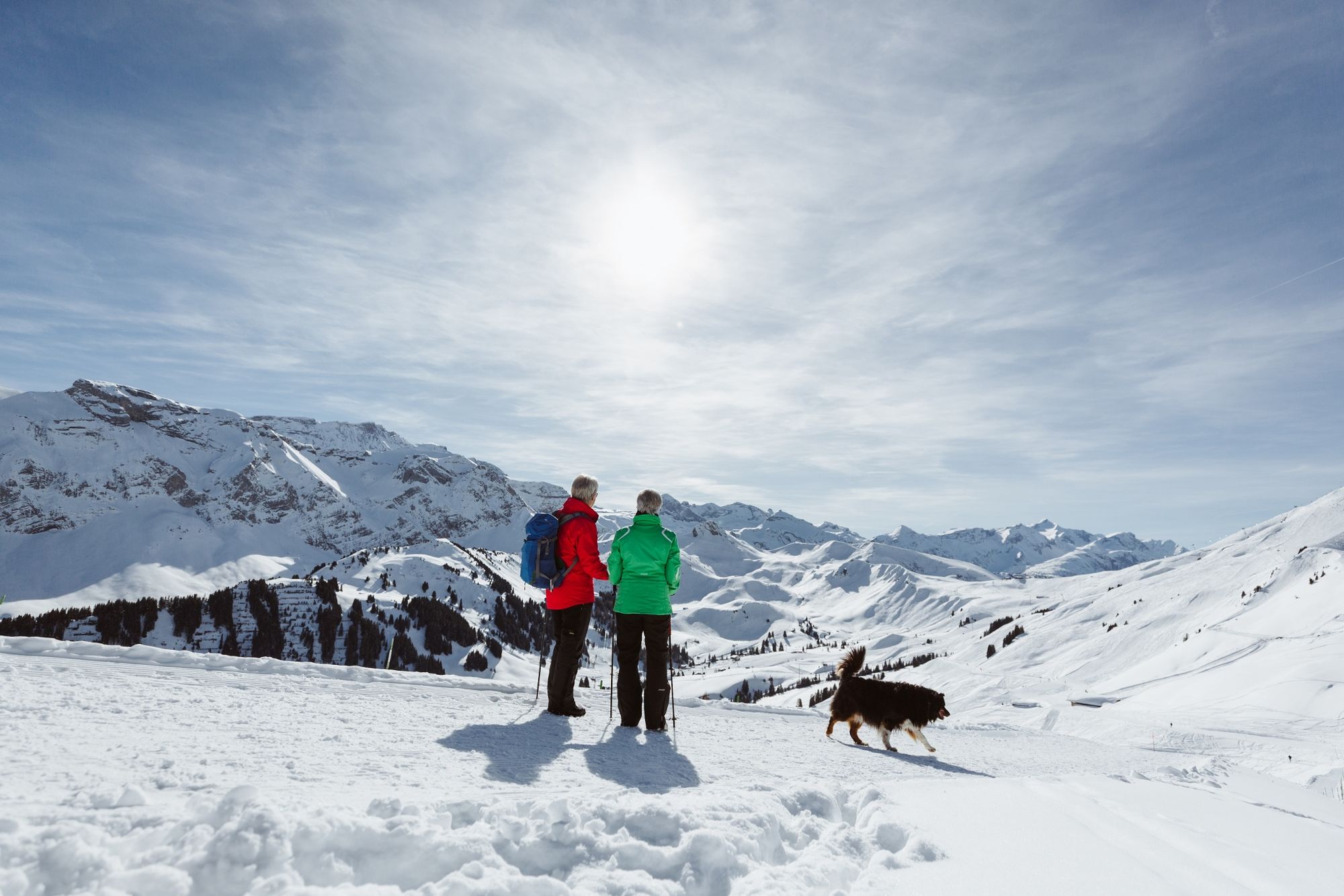
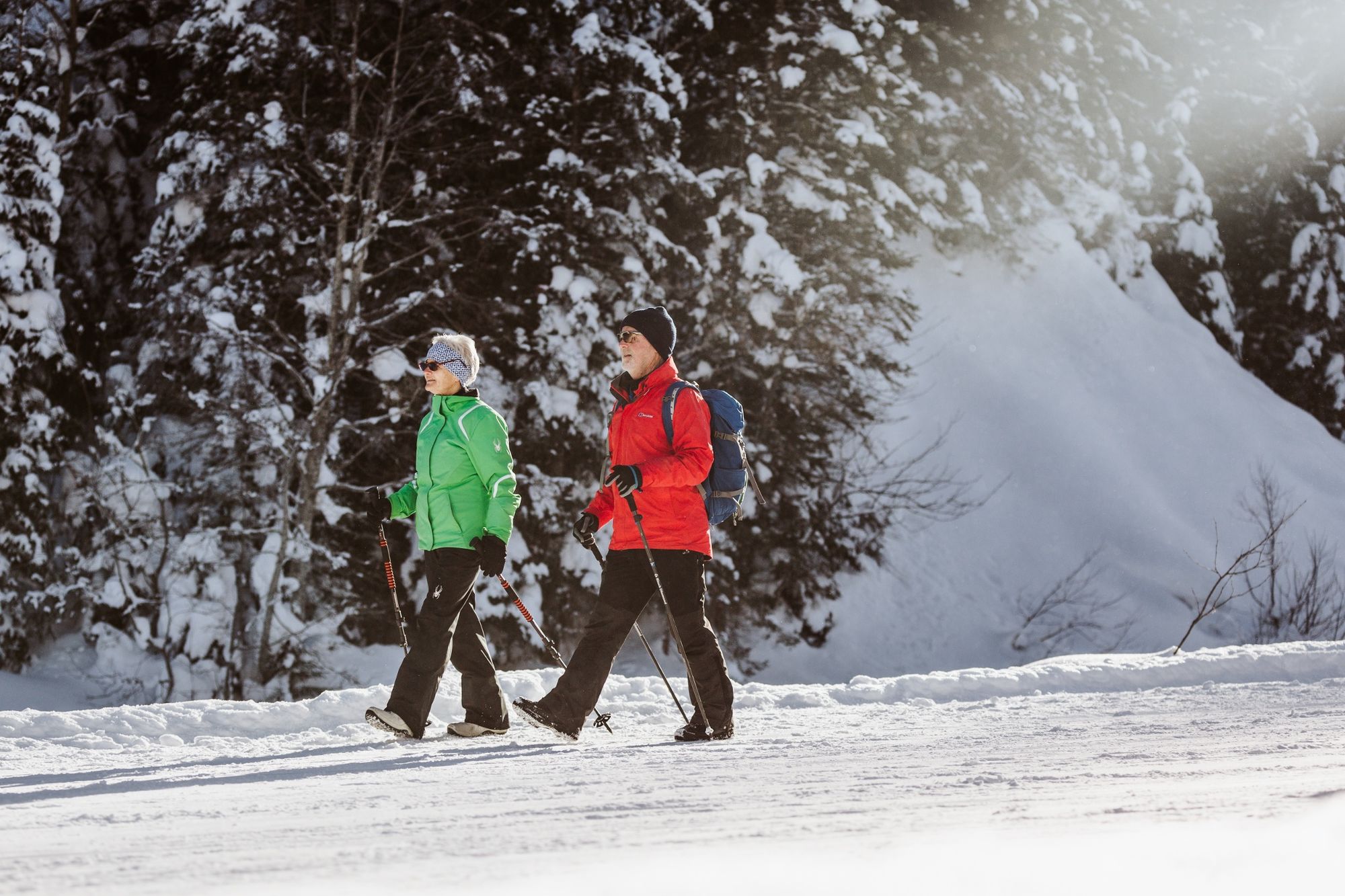
The path from Sillerenbühl to Aebi takes you past the frozen lake of Silleren and through snowy forests down to the Restaurant Aebi.


- Kratak opis
-
From the mountain station at Sillerenbühl, the path leads in the direction of the Silleren lake, offering a magnificent view over the Engstligen valley towards Aeschi and Beatenberg. The path loops the edge of the forest next to the ski piste and joins the Hintersillerenstrasse from where you make another loop through winter forests to the Restaurant Aebi. From there you can decide on the route back to Adelboden - via Schermtanne (restaurant, bus stop) or Gilbach (restaurant, bus stop).
- Teškoća
-
lagano
- Vrednovanje
-
- Wegverlauf
-
Aebi (Silleren) (1.538 m)2,9 kmRestaurant Aebi3,0 km
- Beste Jahreszeit
-
kolrujlisstuprosijveljožutrasvilipsrp
- Höchster Punkt
- 1.973 m
- Zielpunkt
-
Adelboden, Aebi
- Höhenprofil
-
 © outdooractive.com
-

-
Autor
GPS Downloads


Opće informacije
Einkehrmöglichkeit
Aussichtsreich
Weitere Touren in den Regionen
-
Oberwallis
301
-
Adelboden
174
-
Lenk im Simmental
87