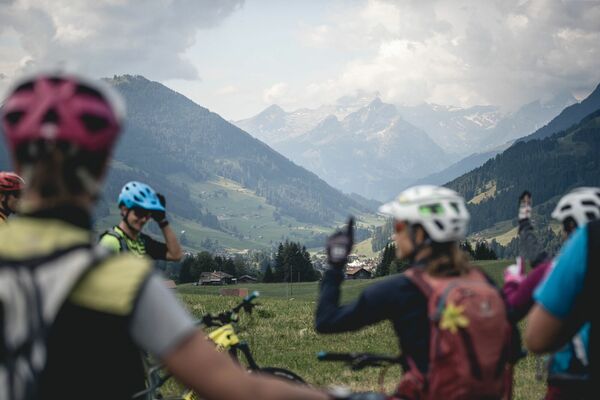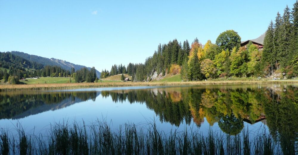
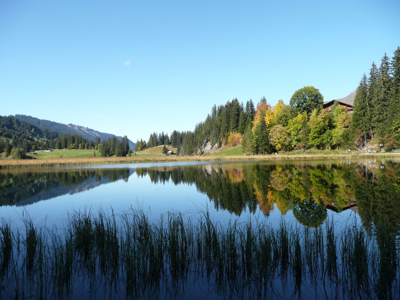
© Gstaad Saanenland Tourismus
Podaci o ruti
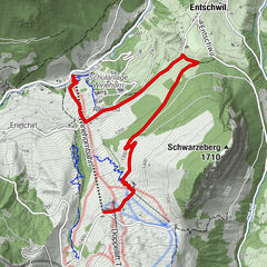
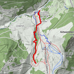
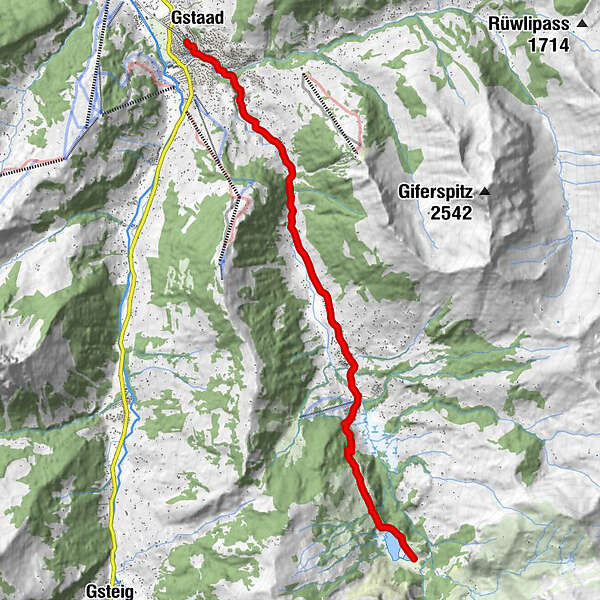
11,24km
1.053
- 1.409m
351hm
02:00h
- Vrednovanje
-
- Polazna točka
-
Bahnhof Gstaad
- Wegverlauf
-
Gstaad (1.050 m)0,1 kmWispile1,2 kmBadweidli1,6 kmTrom2,4 kmLauenen6,9 kmHöji9,3 kmBühlhaus Lauenensee11,2 km
- Höchster Punkt
- 1.409 m
GPS Downloads


Weitere Touren in den Regionen
-
Thyon les Collons
182
-
Destination Gstaad
108
-
Lauenen
31