Vom Tschingel im Kiental über den Hohtürlihang
heavy
Navigate
Navigate
Get this tour on your mobile
Vom Tschingel im Kiental über den Hohtürlihang
heavy
Skijaška tura
7,79
km
Scan the QR code and start navigation in the bergfex app

Hiking & Tracking


Distance
7,79
km
Duration
05:30
h
Ascent
1.612
m
Sea level
1.196 -
2.793
m
Track download
Vom Tschingel im Kiental über den Hohtürlihang
heavy
Skijaška tura
7,79
km


Route
D
(1.215 m)
Waterfall
0,6 km
Griesalp
(1.408 m)
Settlement
1,8 km
Obere Bundalp
(1.830 m)
Corridor/terrain
4,8 km
Blüemlisalphütte
(2.840 m)
Shelter
7,7 km
Route
Vom Tschingel im Kiental über den Hohtürlihang
heavy
Skijaška tura
7,79
km
D
(1.215 m)
Waterfall
0,6 km
Dündefall
(1.264 m)
Waterfall
0,8 km
Pochtenfall
(1.243 m)
Waterfall
1,1 km
Griesalp
(1.408 m)
Settlement
1,8 km
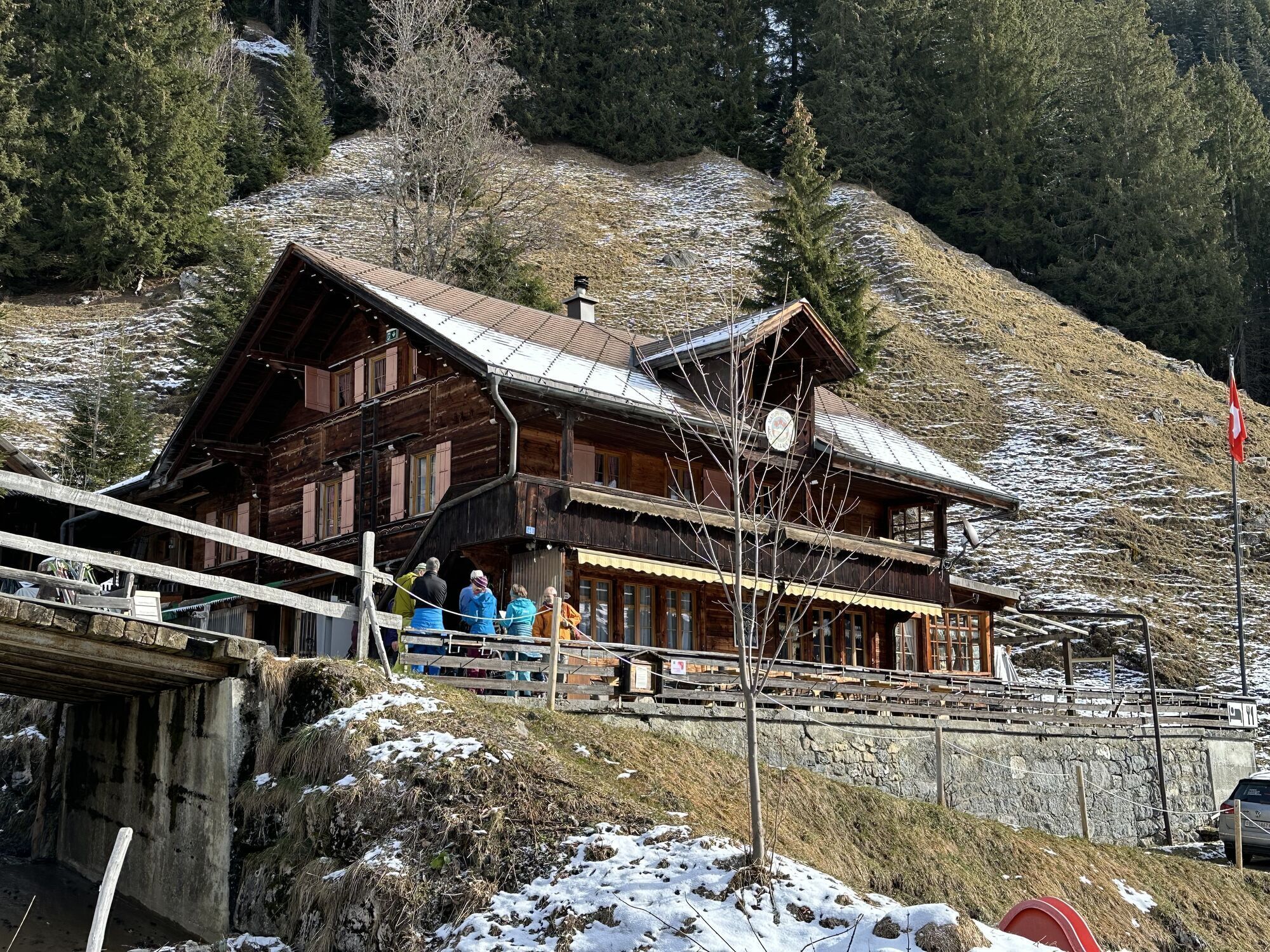
Rocky Brieshouse
(1.408 m)
Restaurant
1,9 km
Obere Bundalp
(1.830 m)
Corridor/terrain
4,8 km
Hohtürli
(2.748 m)
Corridor/terrain
7,5 km
Blüemlisalphütte
(2.840 m)
Shelter
7,7 km
Author
Provided by ©swisstopo
The tour Vom Tschingel im Kiental über den Hohtürlihang is provided by opendata.swiss.
No reviews yet
Popular tours in the neighbourhood
-
4,5
Oeschinensee
lightPješačenje 15,2 km -
4,7
Lötschentaler Höhenweg
lightPješačenje 9,17 km -
4,0
Rundwanderung Lötschenpasshütte
mediumPješačenje 12,2 km -
3,0
Morgenberghorn
mediumPješačenje 9,60 km -
4,6
Mülenen - Glogghore - Niesen - Niesen Kulm
heavyPješačenje 7,86 km -
Gimmelwald - Tanzbödeli - Oberhornsee - Stechelberg
mediumPješačenje 22,3 km -
Kandersteg-SAC Blüemlisalp
heavyPješačenje 7,83 km -
3,8
Lobhornhütte / Sulseewli
mediumPješačenje 7,14 km -
5,0
Lauchernalp-Lötschenpass-Selden
heavyPješačenje 12,0 km -
4,8
Restaurant Bergstübli - Oberbärgli - Berghaus Oeschinensee - Berghotel Oeschinensee
mediumPješačenje 8,85 km
bergfex Tours

Over 550.000 tour suggestions, detailed maps and an intuitive route planner make the app a must-have for all nature enthusiasts.

Ne propustite ponude i inspiraciju za vaš sljedeći odmor
Subscribe to the newsletter
Error
An error has occurred. Please try again.
Thank you for your registration
Your e-mail address has been added to the mailing list.
Tours throughout Europe
Austrija
Švicarska
Njemačka
Italija
Slovenija
Francuska
Nizozemska
Belgija
Poljska
Lihtenštajn
Češka
Slovačka
Španija
Hrvatska
Bosna i Hercegovina
Luksemburg
Andora
Portugal
Island
Ujedinjeno Kraljevstvo
Irska
Grčka
Albanija
Sjeverna Makedonija
Malta
Norveška
Crna Gora
Moldova
Kosovo
Mađarska
San Marino
Rumunjska
Estonija
Latvija
Bjelorusija
Cipar
Litva
Srbija
Bugarska
Monako
Danska
Švedska
Finska