© Grindelwald Tourismus - David Birri

- Kratak opis
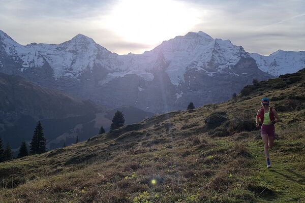
-
The perfect uphill trail for a short, intensive training run.
- Teškoća
-
lagano
- Vrednovanje
-
- Wegverlauf
-
Grindelwald0,1 kmPfingstegg2,4 km
- Beste Jahreszeit
-
sijveljožutrasvilipsrpkolrujlisstupro
- Höchster Punkt
- 1.379 m
- Zielpunkt
-
Pfingstegg mountain station
- Höhenprofil
-
 © outdooractive.com

- Autor
-
Die Tour Uphilltrail Pfingstegg U4 wird von outdooractive.com bereitgestellt.
GPS Downloads


Opće informacije
Einkehrmöglichkeit
Weitere Touren in den Regionen