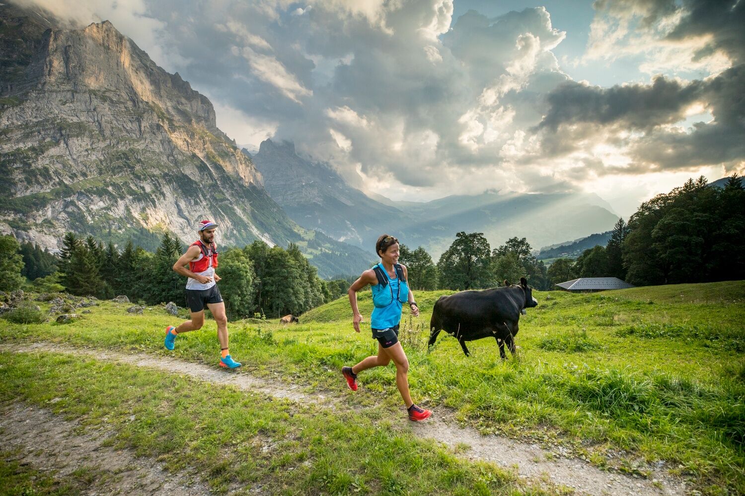
© Grindelwald Tourismus - David Birri

© Grindelwald Tourismus - David Birri

© Grindelwald Tourismus - David Birri

© Grindelwald Tourismus - David Birri

- Kratak opis
-
The Chrinnenhorn summit trail passes through the most fascinating glacier world in the Bernese Alps.
- Teškoća
-
teška
- Vrednovanje
-
- Wegverlauf
-
Grindelwald0,1 kmDorfkirche0,8 kmRancher Bar1,9 kmChrinnenhorn (2.741 m)10,3 km
- Beste Jahreszeit
-
sijveljožutrasvilipsrpkolrujlisstupro
- Höchster Punkt
- 2.725 m
- Zielpunkt
-
Chrinnenhorn
- Höhenprofil
-
 © outdooractive.com


- Autor
-
Die Tour Trailsummit Chrinnenhorn TS3 wird von outdooractive.com bereitgestellt.
GPS Downloads


Opće informacije
Einkehrmöglichkeit
Aussichtsreich
Weitere Touren in den Regionen