Treasures in the Reichenbach Valley: Chaltenbrunnen - Engelhornhütte - Rosenlaui


© Unbekannt

© Unbekannt

© Unbekannt

© Unbekannt
- Kratak opis
-
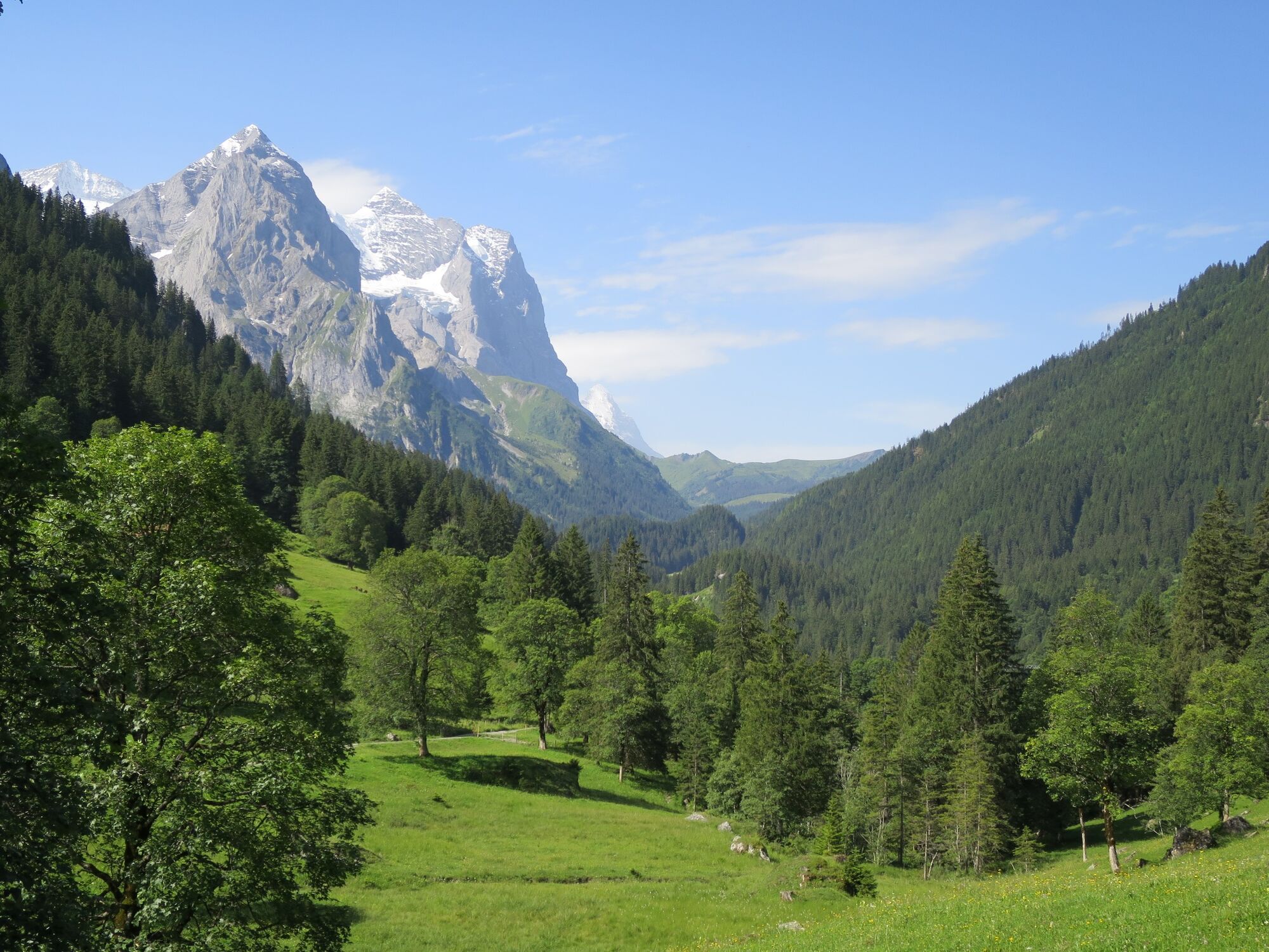
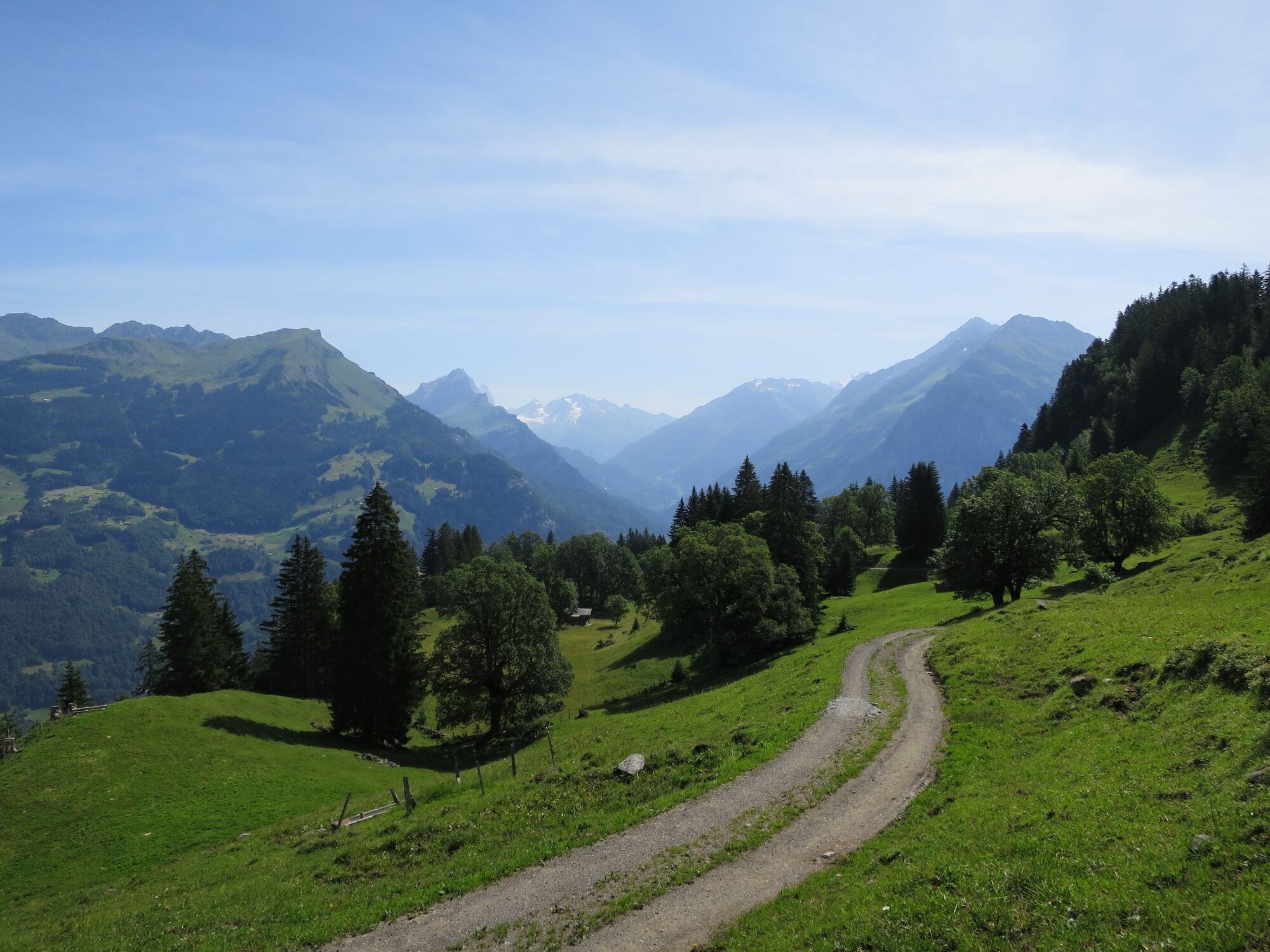
Above Rüötsperri, view of Wellhorn and Wetterhorn
- Teškoća
-
srednje
- Vrednovanje
-
- Wegverlauf
-
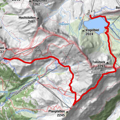
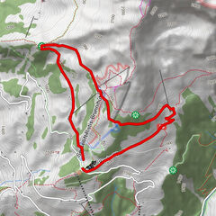
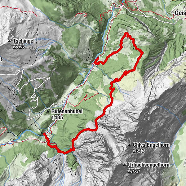
Kaltenbrunnen0,0 kmReutsperre (1.272 m)0,8 kmHobalm1,9 kmEngelhornhütte (1.901 m)5,9 kmRosenlaui - Blick8,2 kmRosenlaui (1.327 m)8,9 km
- Beste Jahreszeit
-
sijveljožutrasvilipsrpkolrujlisstupro
- Höchster Punkt
- 1.907 m
- Zielpunkt
-
Postcar station Rosenlaui
- Höhenprofil
-
 © outdooractive.com


- Autor
-
Die Tour Treasures in the Reichenbach Valley: Chaltenbrunnen - Engelhornhütte - Rosenlaui wird von outdooractive.com bereitgestellt.
GPS Downloads


Weitere Touren in den Regionen
-
Obwalden
2023
-
Haslital
899
-
Schattenhalb
287