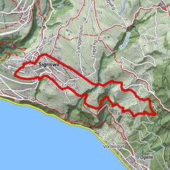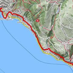
© outdooractive.com

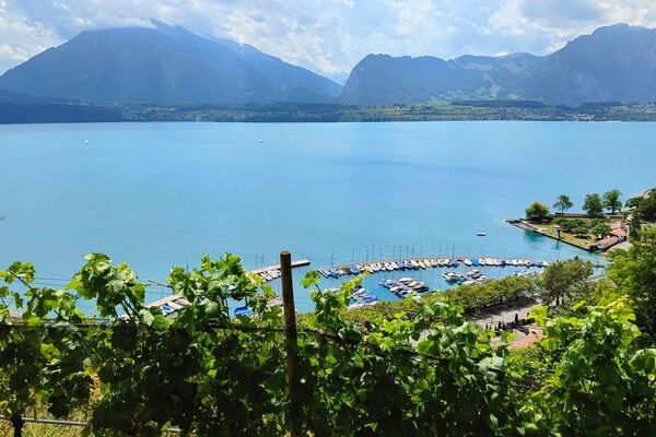
© Tourismus Adelboden-Lenk-Kandersteg - Barbara Stoller

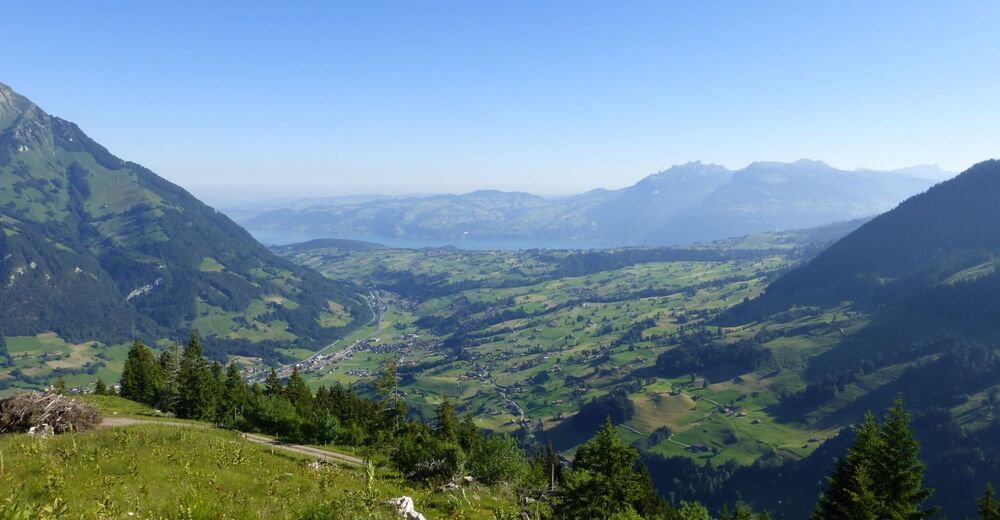
© Tourismus Adelboden-Lenk-Kandersteg - Barbara Stoller

- Kratak opis
-
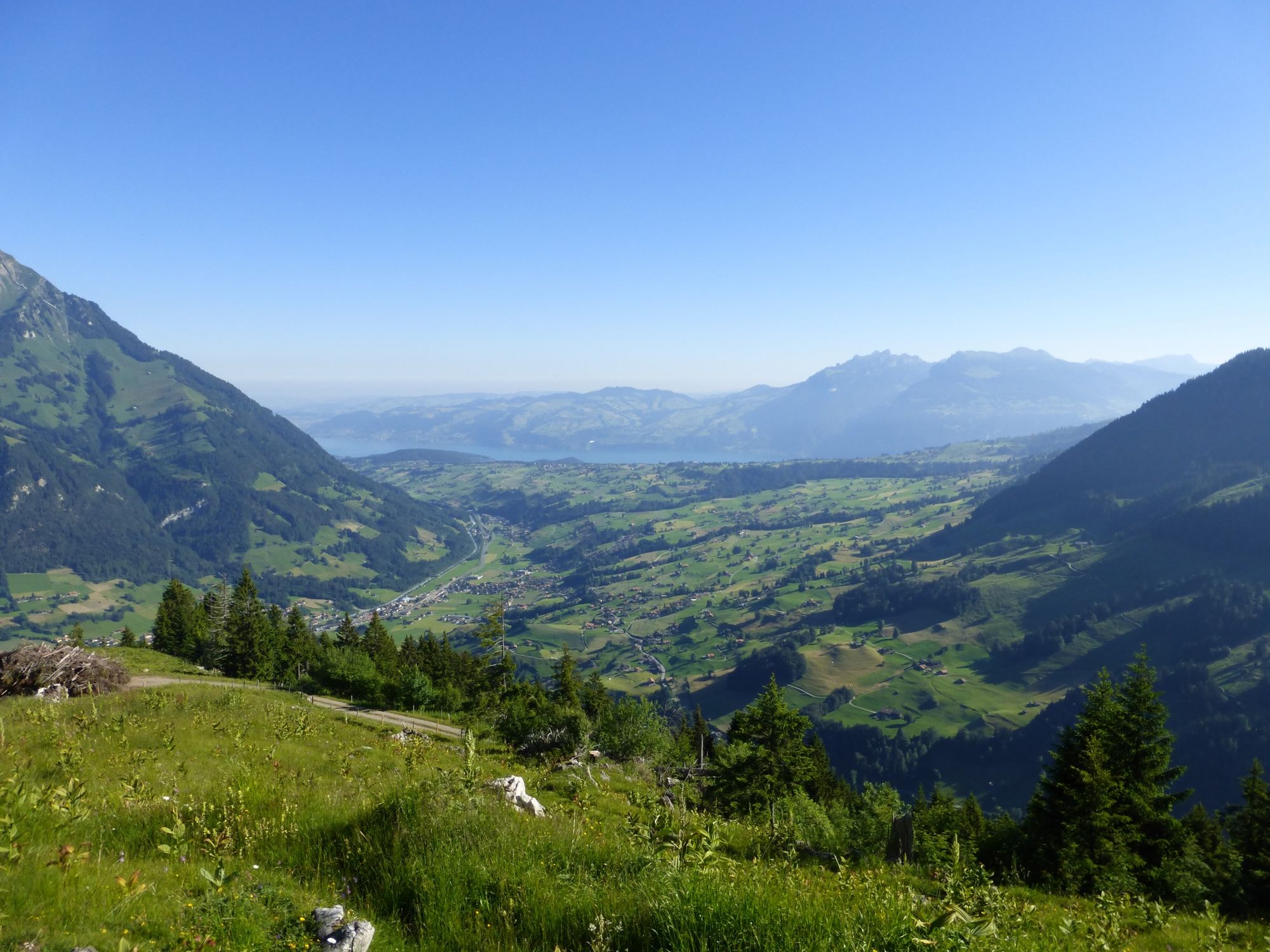
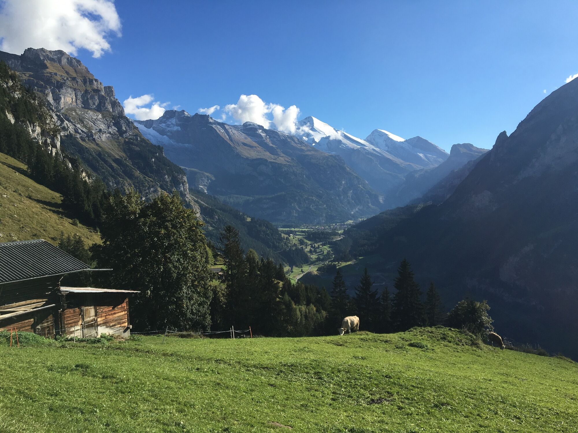
Pre-Alpine high-level trail from Kandersteg into the Kiental. The trail leads high above the Kandertal valley through forests and across alpine meadows; magnificent views down to the trains of the Lötschberg railway which run through the Kandertal valley.
- Teškoća
-
teška
- Vrednovanje
-
- Wegverlauf
-
Kandersteg (1.176 m)0,0 kmKandersteg (1.174 m)0,3 kmSaregrabe2,5 kmUf der Flue4,2 kmHemlige4,7 kmFeeschflue5,9 kmÄbeli8,2 kmSchlafegg (1.456 m)9,8 kmFurggi14,3 kmBachwald15,1 kmRamslauenen16,7 kmBerghaus Ramslauenen16,9 kmEgg17,6 kmLoosmaad18,2 kmKiental (958 m)19,4 km
- Beste Jahreszeit
-
sijveljožutrasvilipsrpkolrujlisstupro
- Höchster Punkt
- 1.639 m
- Zielpunkt
-
Kiental
- Höhenprofil
-
 © outdooractive.com

-

-
AutorDie Tour Lötschberg Panorama Trail wird von outdooractive.com bereitgestellt.
GPS Downloads


Opće informacije
Aussichtsreich
Weitere Touren in den Regionen
-
Oberwallis
1877
-
Ferienregion Kandertal
1109
-
Kiental
267