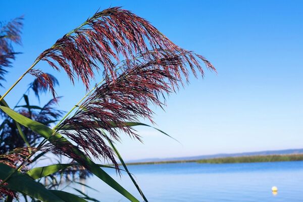
© Tourismusverband Nordburgenland - Angela Göschl

© Tourismusverband Nordburgenland - Angela Göschl

© Tourismusverband Nordburgenland - Angela Göschl

© Burgenland Tourismus - Niklas Duffek

© Burgenland Tourismus - Niklas Duffek

© Burgenland Tourismus - Niklas Duffek

© Burgenland Tourismus - Niklas Duffek

© Burgenland Tourismus - Niklas Duffek

© Burgenland Tourismus - Niklas Duffek

© Burgenland Tourismus - Niklas Duffek

- Kratak opis
-
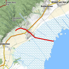
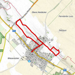
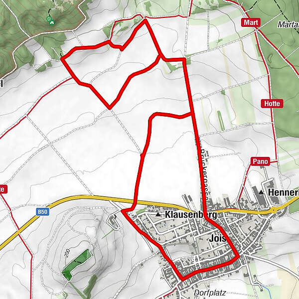
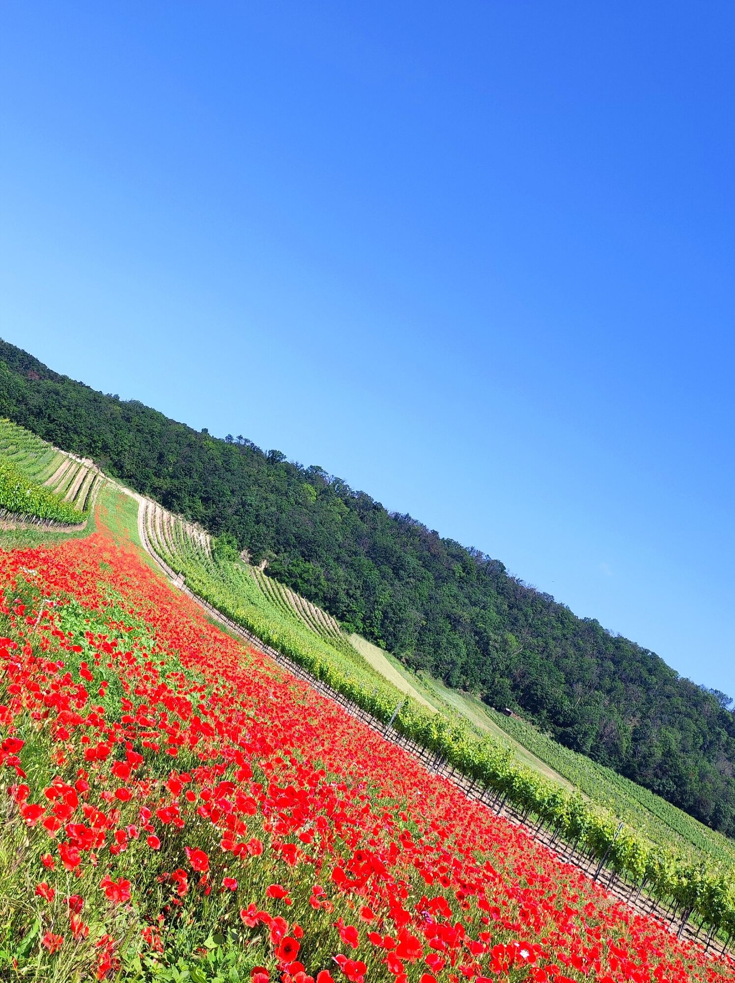
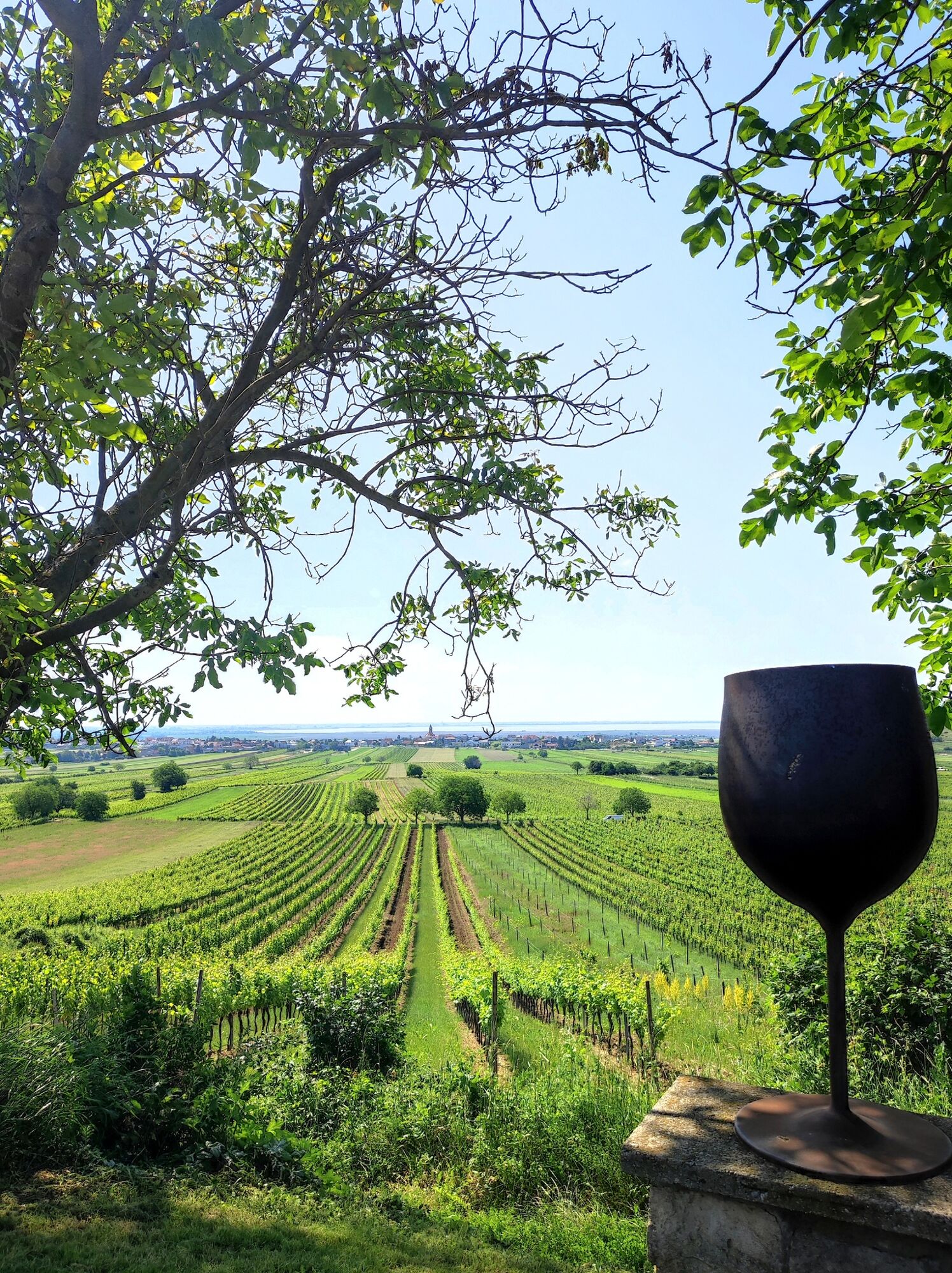
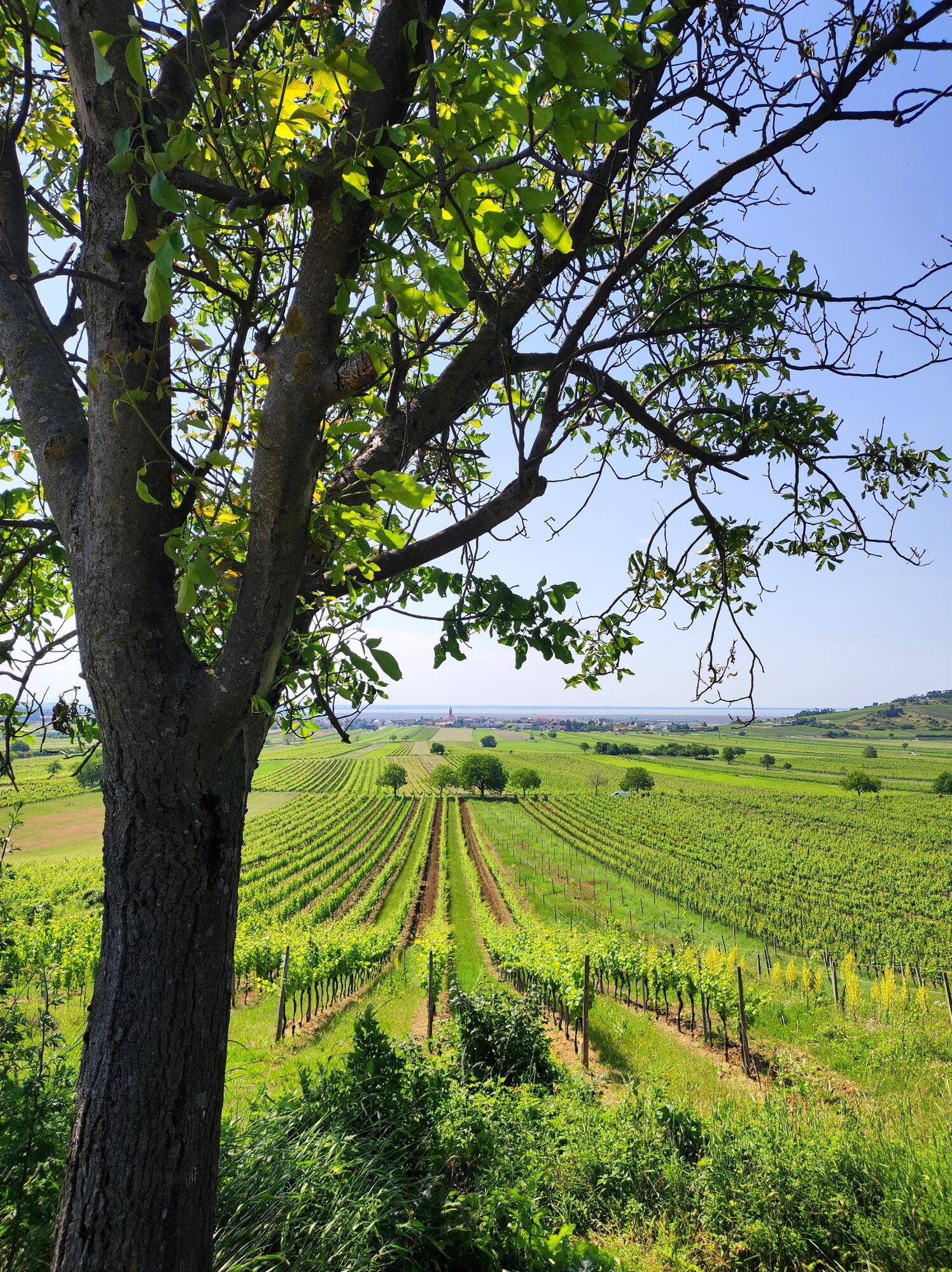
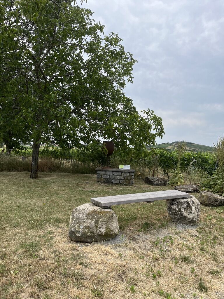
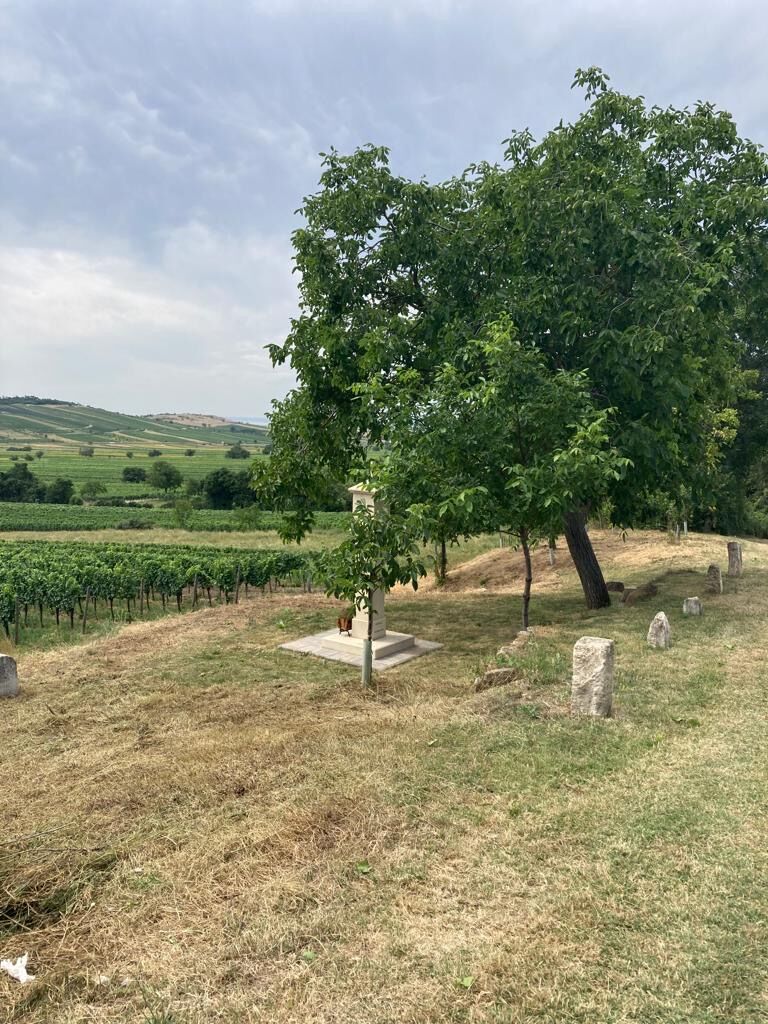
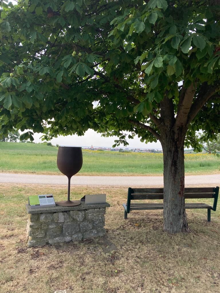
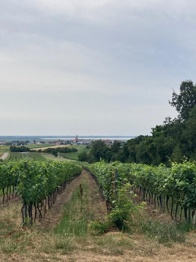
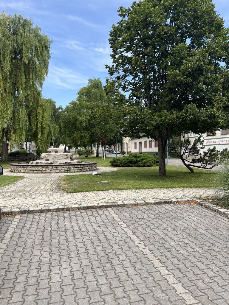
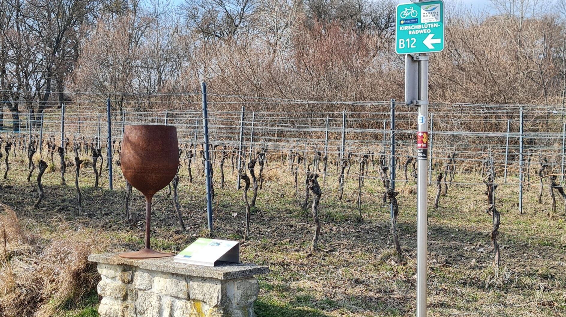
In the midst of the Jois vineyards, the educational wine trail provides an insight into the history and tradition of viticulture on the slopes of the Leitha Mountains at ten stations. The leisurely hike leads from the centre of the village to the educational trail, offering a beautiful view of the villages of Jois and Winden as well as of Lake Neusiedl;
- Teškoća
-
srednje
- Vrednovanje
-
- Wegverlauf
-
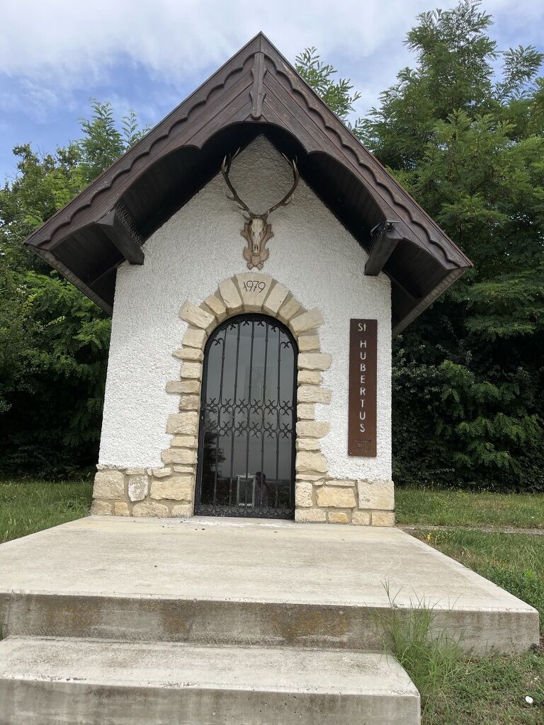
Herz-Jesu-Kirche0,0 kmJois0,6 kmHubertuskapelle3,6 kmHerz-Jesu-Kirche7,7 kmJois7,7 km
- Beste Jahreszeit
-
sijveljožutrasvilipsrpkolrujlisstupro
- Höchster Punkt
- 193 m
- Zielpunkt
-
Jois
- Höhenprofil
-

- Autor
-
Die Tour Hike to the wine trail wird von outdooractive.com bereitgestellt.
GPS Downloads


Opće informacije
Aussichtsreich
Weitere Touren in den Regionen