Podaci o ruti
14,71km
210
- 401m
258hm
259hm
05:04h
- Teškoća
-
srednje
- Vrednovanje
-
- Polazna točka
-
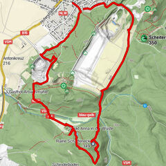
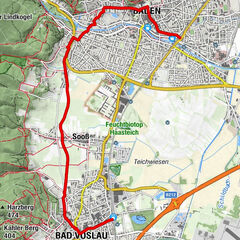
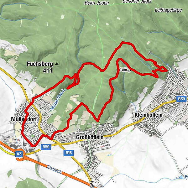
Bahnhof Müllendorf
- Wegverlauf
-
Müllendorf0,1 kmMüllendorf0,6 kmSt. Ägidius1,3 kmGeorgskapelle2,4 kmGlorietteberg (357 m)7,2 kmdie alm7,7 kmKapelle zum hl. Antonius von Padua8,2 kmHeiliges Grab11,7 kmMüllendorf14,7 km
- Beste Jahreszeit
-
sijveljožutrasvilipsrpkolrujlisstupro
- Höchster Punkt
- 401 m
- Zielpunkt
-
Bahnhof Müllendorf
- Rast/Einkehr
-
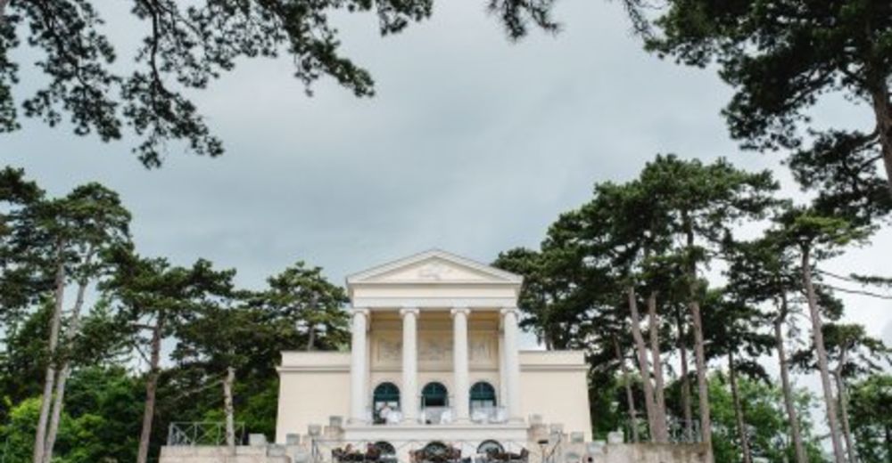
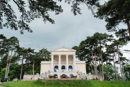
Die Alm
Glorietteallee 51, 7000 Eisenstadt
02682 24090
www.diealm.at/
GPS Downloads


Weitere Touren in den Regionen
-
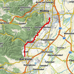
Wienerwald
4219
-
Neusiedler See
371
-
Großhöflein
196