


Level of difficulty: 2


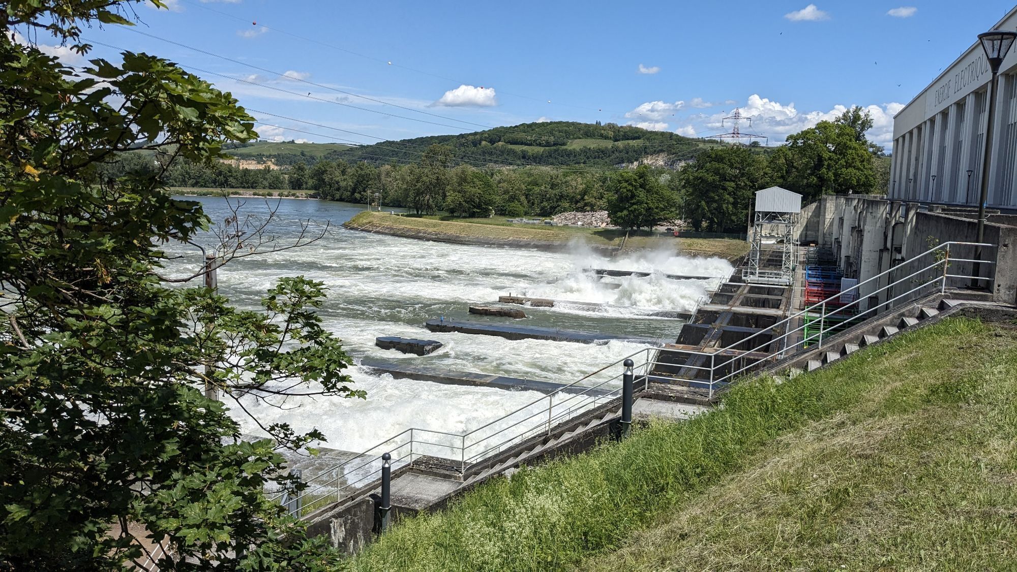
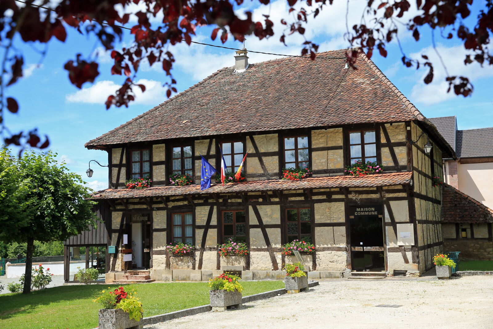
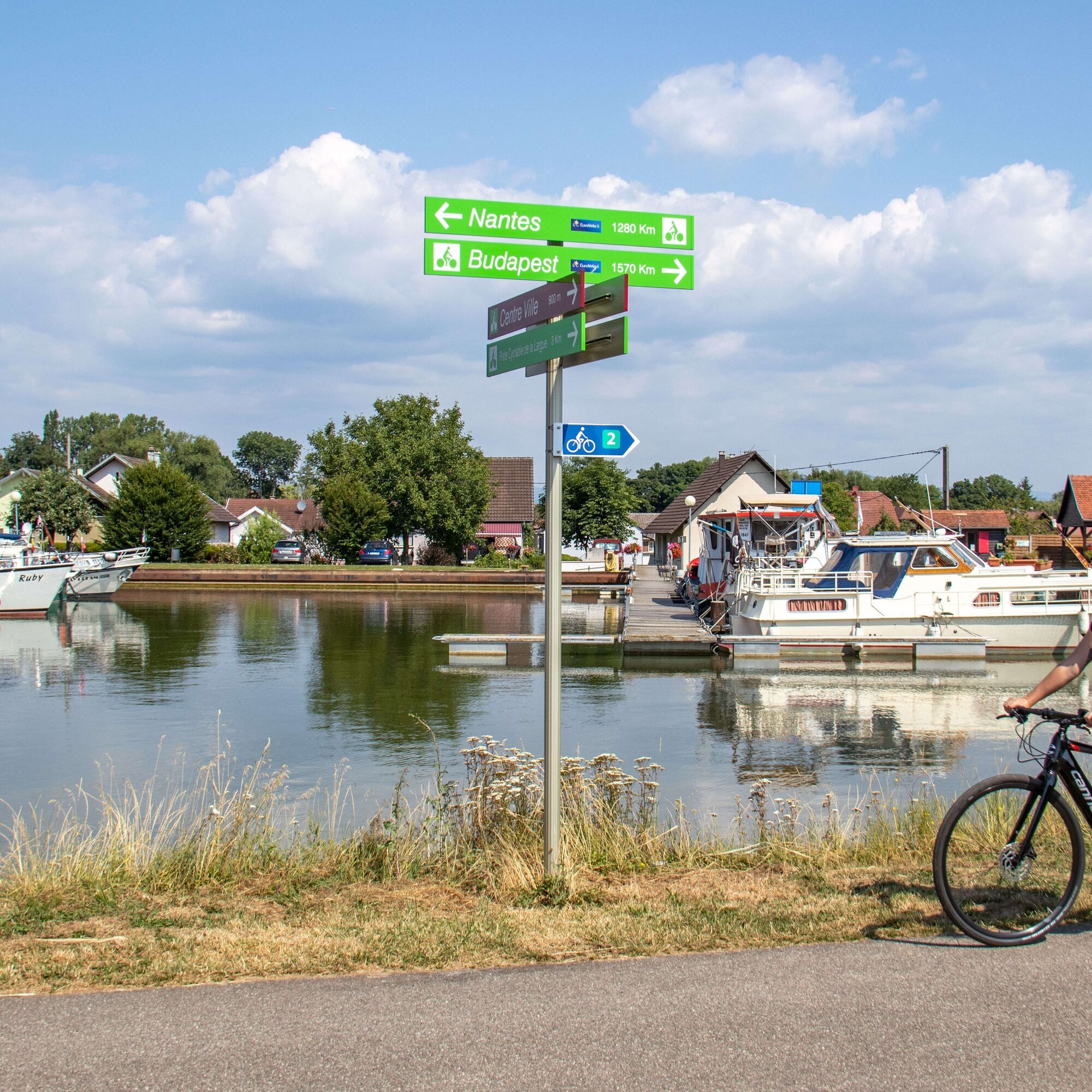
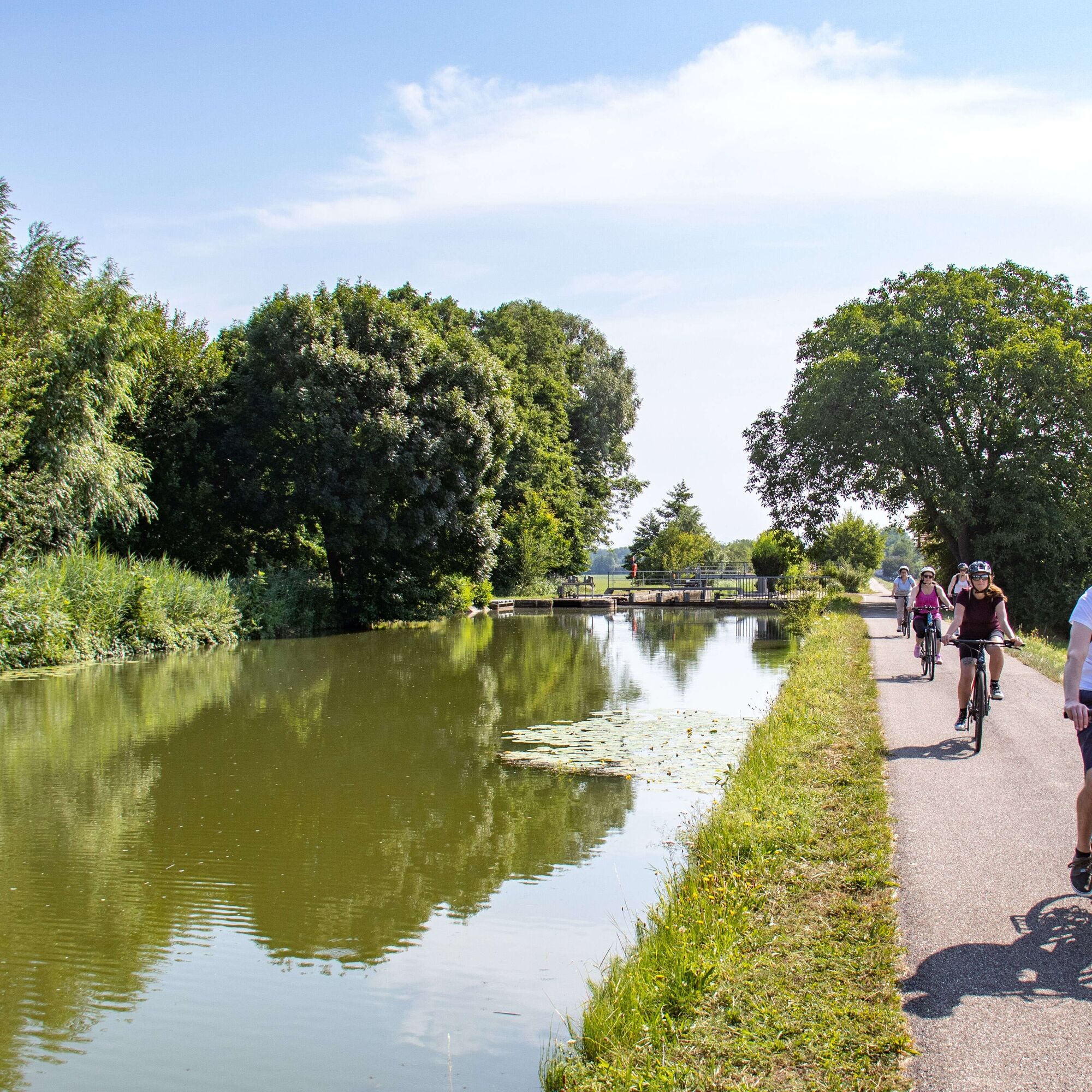
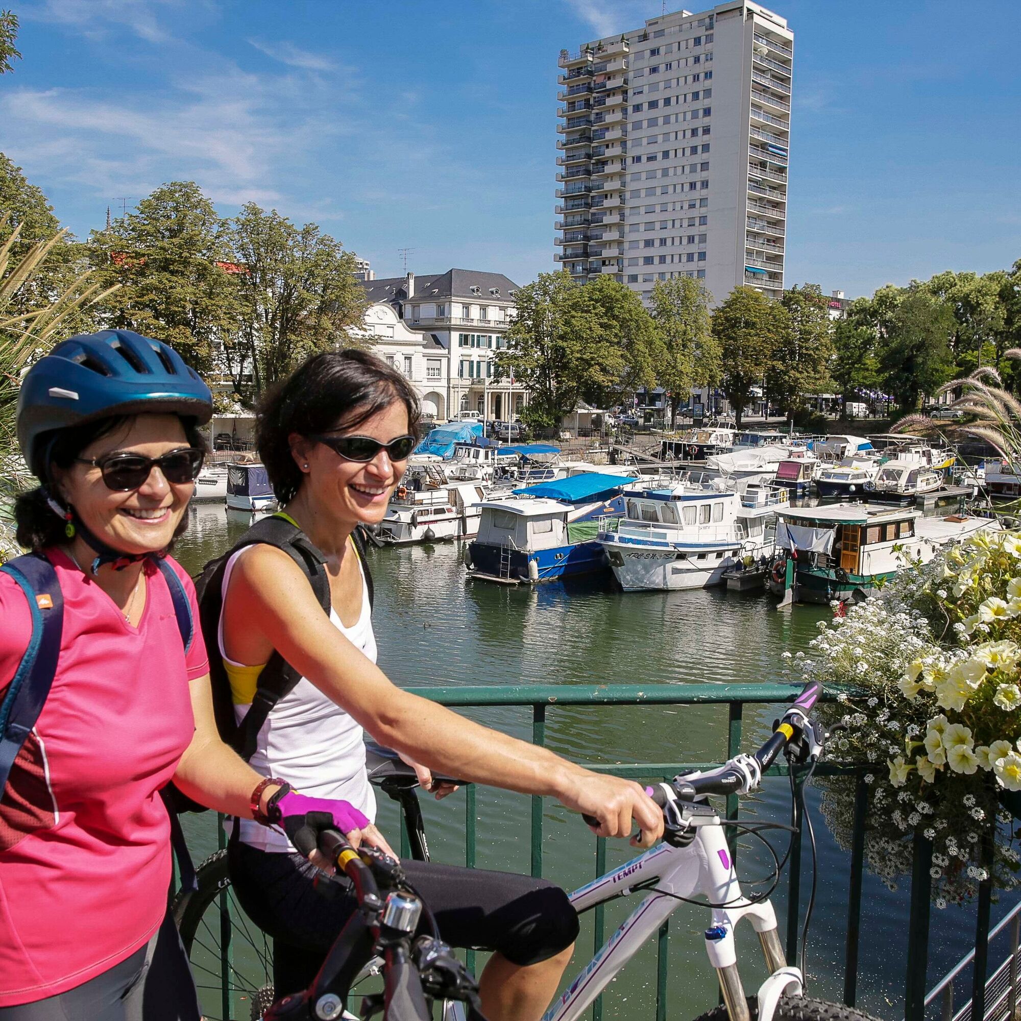
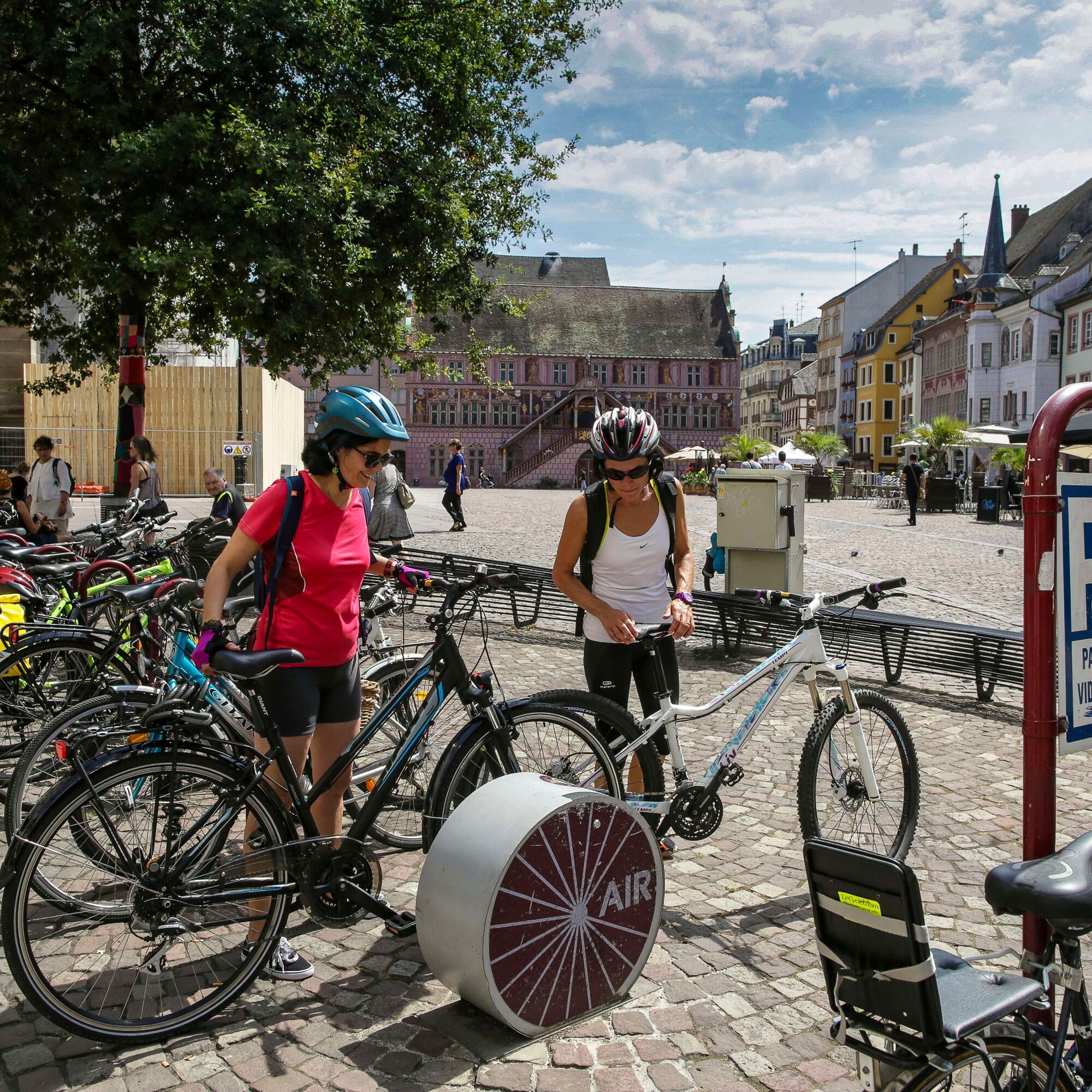
From Franche-Comté to Switzerland, EuroVelo 6 enters Alsace via the Rhône-Rhine canal, marked in its southern part by the impressive set of twelve locks of Valdieu-Lutran. Upon reaching Mulhouse, the route...
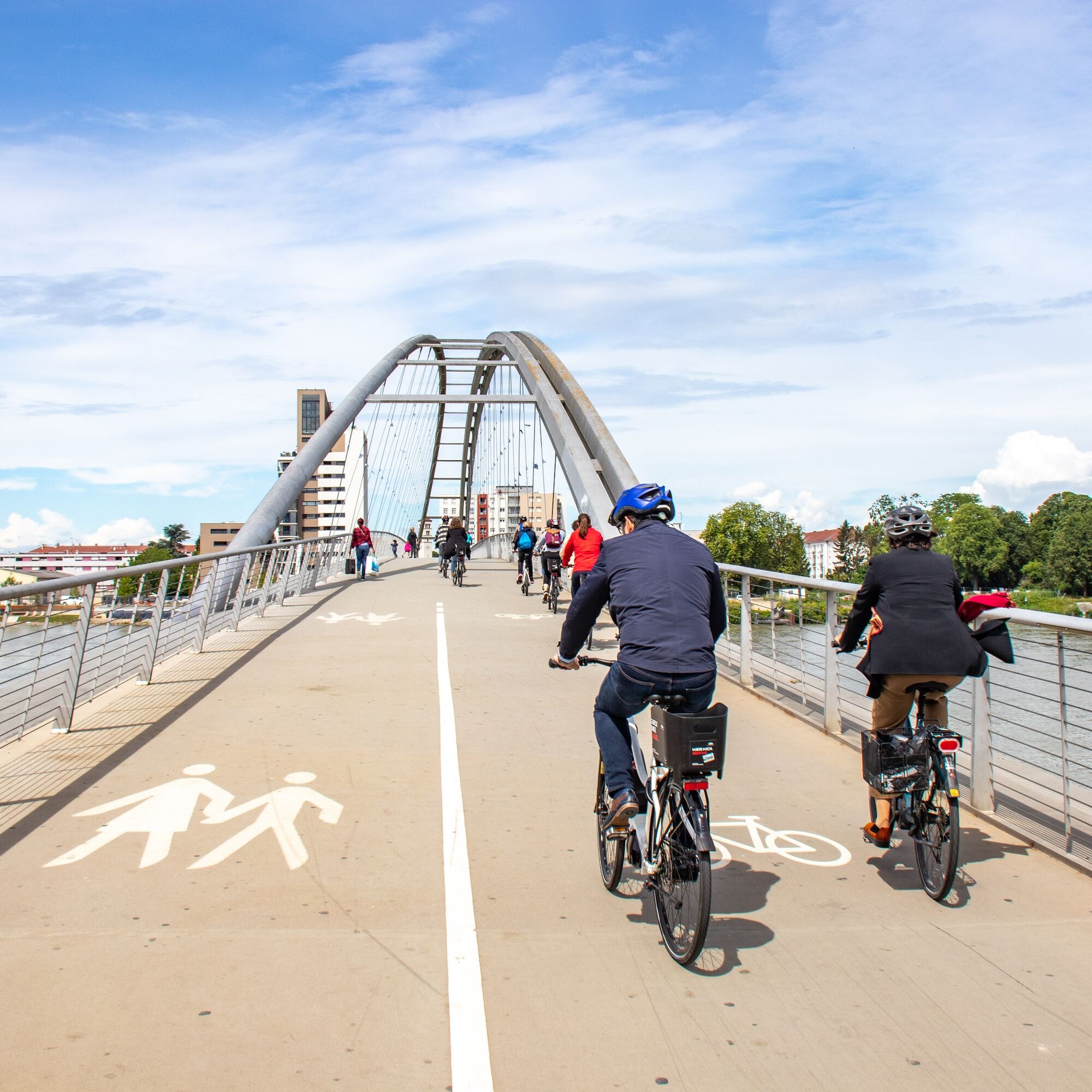
From Franche-Comté to Switzerland, EuroVelo 6 enters Alsace via the Rhône-Rhine canal, marked in its southern part by the impressive set of twelve locks of Valdieu-Lutran. Upon reaching Mulhouse, the route continues along the bank of the Rhône-Rhine canal to Kembs. From there, by following the towpath of the Huningue canal, the route leads over the Three Countries footbridge, into Germany and then Switzerland to Basel.

Yes
Yes
Before you start:
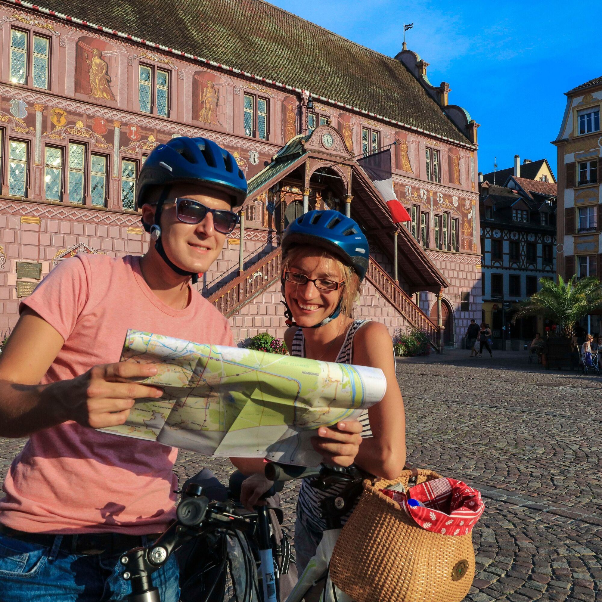
Make sure the bike is in perfect mechanical condition, including tires and brakes Ensure the bike is properly adjusted to your body shape Wearing a helmet is highly recommended Bring a repair kit Remember that the traffic code applies to cyclists at all times Never ride more than two abreast and move into a single file when traffic conditions require it Respect other users as you would like to be respected Choose a route suitable for your physical abilities Inform people around you of your route Check the weather conditions A first aid kit is not essential but can be very useful Obtain and keep emergency numbers handy Respect the environment by not throwing food wrappers on the roadside If you need to return at dusk, make sure you can see and be seen
Emergency number: 112
By train: Belfort/Mulhouse Line, Mulhouse/Saint-Louis Line, Basel/Mulhouse/Strasbourg Line
More details at www.sncf.com
2
Popular tours in the neighbourhood
-
Rhone - Rhein Kanal
lightPješačenje 8,46 km -
BR77 Le long des voies naviguables
Vozi bicikl 68,9 km -
Tour d'Alsace à Vélo Sud
Međugradska biciklistička staza 201,9 km -
Saint-Louis - Chapelle Notre-Dame du Chêne - Chapelle Notre-Dame des Champs - Chapelle Saint-Nicolas
mediumVozi bicikl 45,4 km -
Basel SBB - Basler Münster - Église de l'Immaculée Conception - Mulhouse
Vozi bicikl 41,8 km -
Riehen - Église Saint-Martin - Église Notre-Dame-du-Rosaire - Heitersheim
Cestovni bicikl 143,2 km -
Basel - Pfarrkirche Kleinhüningen - Église de l'Immaculée Conception - Montbéliard
heavyBicikl s šljunkom 94,4 km -
Rixheim - Chapelle Saint-Fridolin - Église Saint-Jean-Baptiste - Église Saint-Nicolas
mediumCestovni bicikl 79,1 km -
Saveurs du Monde - Chapelle Saint-Martin - Église Saint-Ulrich - Kleine Lange Matten
mediumCestovni bicikl 64,1 km -
Michelfelden - Thomaskirche - Chapelle Saint-Wolfgang - Saveurs du Monde
mediumCestovni bicikl 75,7 km
bergfex Tours


Ne propustite ponude i inspiraciju za vaš sljedeći odmor
Your e-mail address has been added to the mailing list.